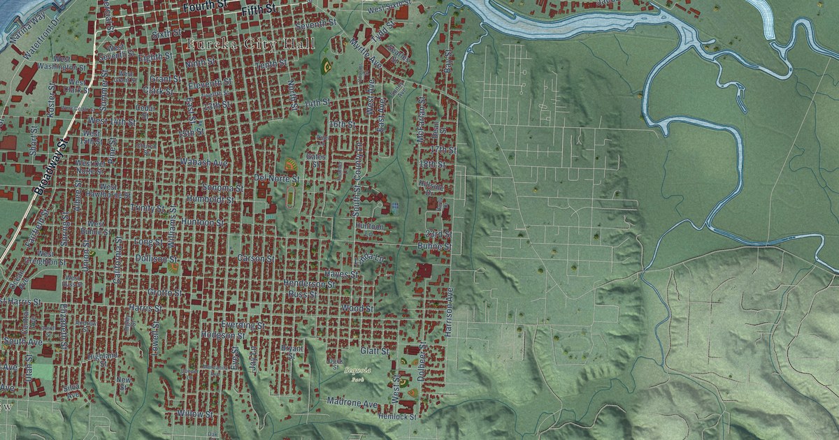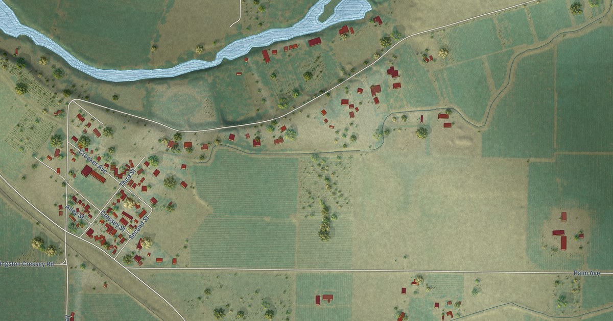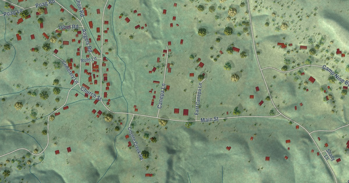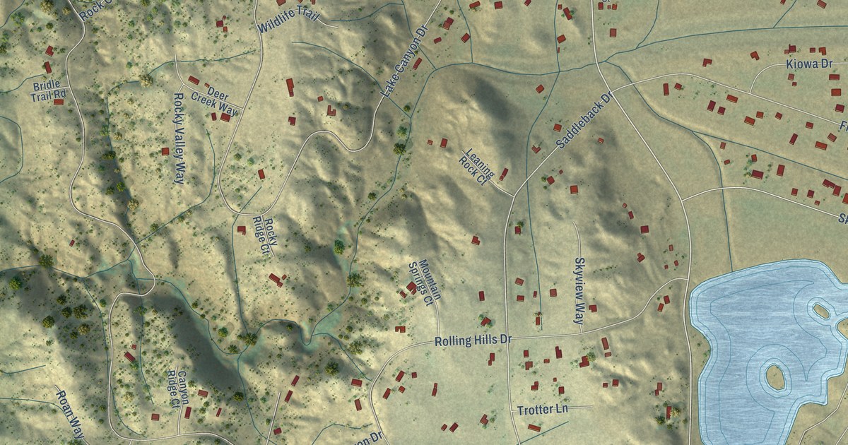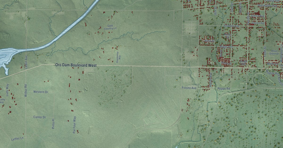
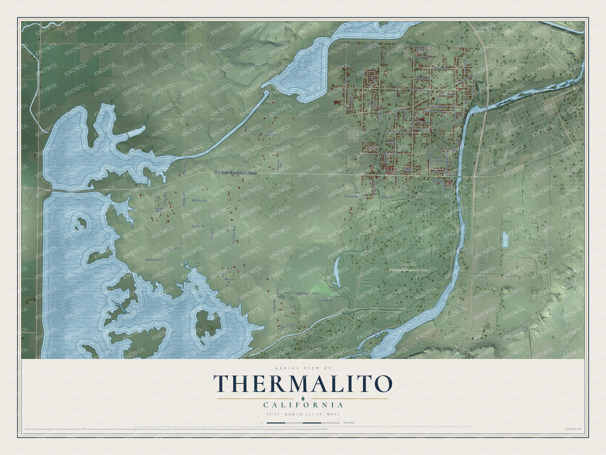
This beautifully detailed map of Thermalito, California was created in 2026 using aerial imagery combined with modern topographical, census, street and landmark data. It's a modern aerial view of Thermalito in Butte County, California, that combines modern data with a vintage aesthetic. The roads feature printed names, and if you look closely you can find your exact house accurately shown in its correct location.
Explore an aerial view of Thermalito, California
On this map you'll find Oroville Wildlife Management Area, Oro Dam Boulevard West, Twelfth Street, Fresno Avenue, Larkin Avenue, 16th Street, Grand Avenue, 14th Street, Timothy Avenue, Nelson Avenue, Tehama Avenue, Larkin Road, and more. Each red shape is a building, so zoom in on the preview and look for yours.
Here is a piece of Thermalito history. Thermalito began as a colony on the west bank of the Feather River, across from Oroville. Before its founders put any land on the market, they planted a forty-acre orange grove in the spring of 1886 to show what the soil and climate could do. The county had already put its infirmary on the north side of the tract in 1878, choosing it as a healthy place. That's from the 1888 Butte County guide by Jesse Wood.
Thermalito is a community in Butte County. The Census Bureau counted 7,198 people here in 2020.
Take a closer look at the Thermalito map
Names on this map
These names are printed on this map.
Places: Oroville Wildlife Management Area.
Streets and roads: Oro Dam Boulevard West, Twelfth Street, Fresno Avenue, Larkin Avenue, 16th Street, Grand Avenue, 14th Street, Timothy Avenue, Nelson Avenue, Tehama Avenue, Larkin Road, Tenth Street.
More street names, A to Z
18th Street, 20th Street, Afterbay Drive, Alma Street, Ardee Court, Biggs Avenue, Butte Avenue, Canter Drive, Chardonnay Way, Cherry Lane, Colusa Avenue, Corona Avenue, Crest Drive, Dodge Avenue, Farrar Lane, Feather Avenue, Fifth Street, Gang Way, Gold Country Lane, Harlan Avenue, Keko Street, Kelley Street, Leffler Lane, Leta Lane, Luds Way, Middlehoff Lane, Ninth Street, Olive Glenn Drive, Par Four Way, Park Way, Pecan Drive, Pinto Place, Plumas Avenue, Rabe Road, Rauch Court, Reppe Road, River Bluff, River Bluff Drive, Roy Drive, Seventh Street, Sierra Avenue, Siskiyou Avenue, Sixth Street, Sparky Way, Sweem Street, Thermalito Avenue, Timothy Road, Wells Lane, Western Drive, Wilbur Road, Wild Game Place, Wildlife Area Access Road, Woodduck Court, Wray Court, Yolo Avenue, Yuba Avenue.
See it on a wall
The Thermalito map as a framed print. Swipe for more.


Created by KNOWOL in 2026. The buildings are small red shapes, the roads carry their printed names, and shaded relief shows the shape of the land. The title panel reads "AERIAL VIEW OF THERMALITO, CALIFORNIA" with 39°29' NORTH 121°39' WEST.
It suits a den, a classroom or a front hall, and it makes a gift for anyone with Thermalito roots. Open the preview and find the block you know. See sizes and frames for the Thermalito map.