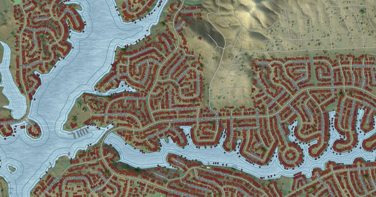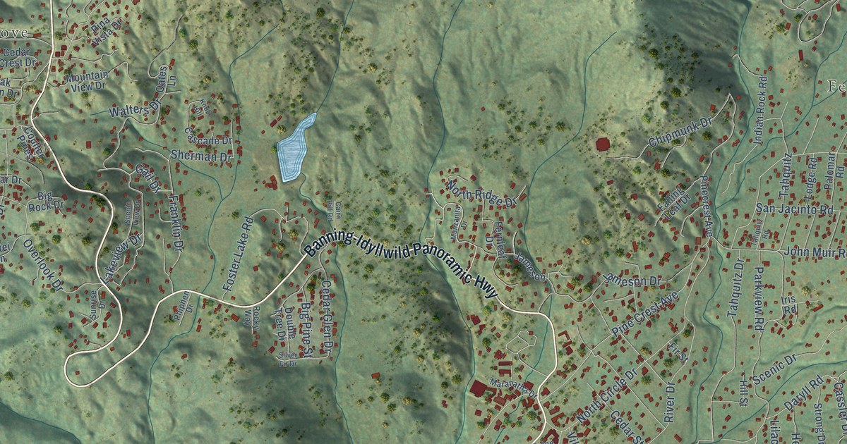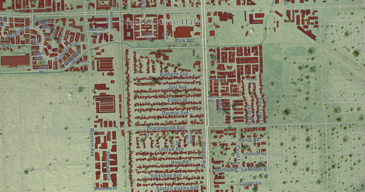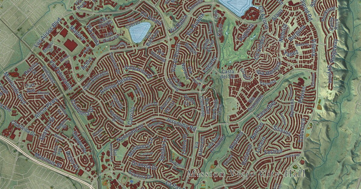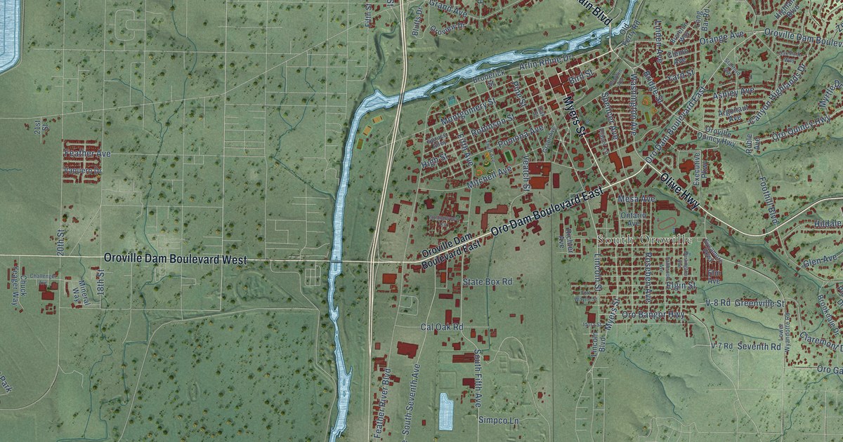
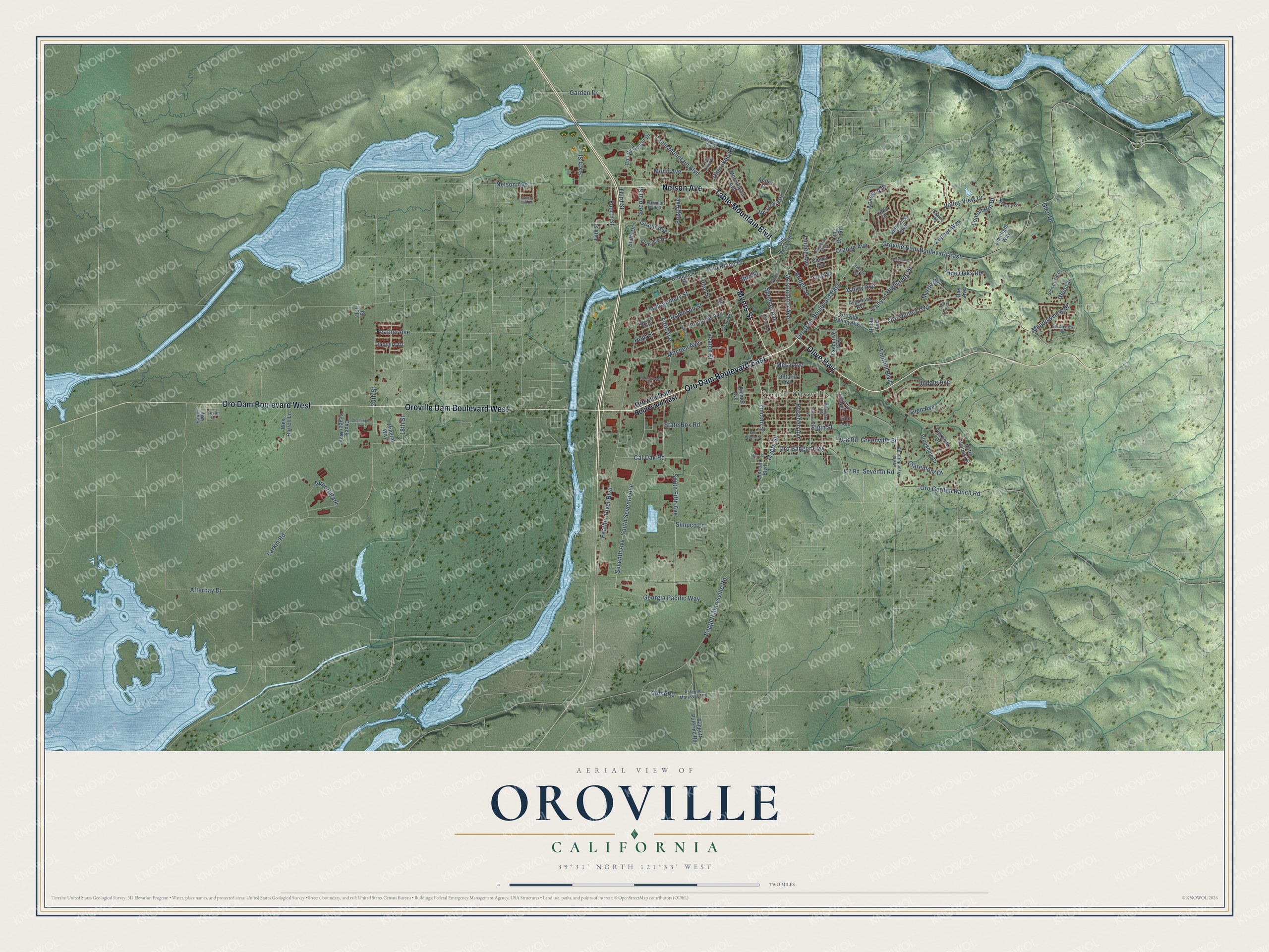
This beautifully detailed map of Oroville, California was created in 2026 using aerial imagery combined with modern topographical, census, street and landmark data. It's a modern aerial view of Oroville in Butte County, California, that combines modern data with a vintage aesthetic. The roads feature printed names, and if you look closely you can find your exact house accurately shown in its correct location.
Explore an aerial view of Oroville, California
On this map you'll find South Oroville, Oro Dam Boulevard East, Olive Highway, Table Mountain Boulevard, Myers Street, Nelson Avenue, Oro Dam Boulevard West, Oroville Dam Boulevard West, Washington Avenue, Lincoln Street, Oro Quincy Highway, Montgomery Street, and more. Each red shape is a building, so zoom in on the preview and look for yours.
Here is a piece of Oroville history, in the words of the record. The record at ohp.parks.ca.gov puts it this way: "The Bidwell Bar Bridge, first suspension bridge of California, was transported from New York via Cape Horn 1853 and was completed 1856."
Oroville is a city in Butte County. The Census Bureau counted 20,042 people here in 2020.
Take a closer look at the Oroville map
Names on this map
These names are printed on this map.
Places: South Oroville and Airport Park.
Streets and roads: Oro Dam Boulevard East, Olive Highway, Table Mountain Boulevard, Myers Street, Nelson Avenue, Oro Dam Boulevard West, Oroville Dam Boulevard West, Washington Avenue, Lincoln Street, Oro Quincy Highway, Montgomery Street, Oroville Dam Boulevard East.
More street names, A to Z
18th Street, 20th Street, 21st Street, Acacia Avenue, Afterbay Drive, Antler Drive, Argonaut Avenue, Arlin Rhine Drive, Ashley Avenue, Baggett Marysville Road, Baggett Palermo Road, Baldwin Avenue, Beverly Drive, Bird Street, Bluffs Drive, Brereton Way, Bridge Street, Broderick Street, Brookdale Drive, Burlington Avenue, Butte Woods Drive, Cal Oak Road, Canyon Highlands Drive, Challenger Avenue, Cherokee Road, Chuck Yeager Way, Claremont Drive, Clemo Avenue, Cottonwood Circle, County Center Drive, Elgin Street, Elm Avenue, Executive Parkway, Fallbrook Avenue, Feather Avenue, Feather River Boulevard, Fifth Avenue, Fifth Street, Flying Cloud Drive, Fogg Avenue, Foothill Boulevard, Fort Wayne Street, Fourth Street, Garden Drive, Georgia Pacific Way, Glen Avenue, Glen Circle, Glen Circle Drive, Glen Drive, Grand Avenue, Grant Avenue, Greenville Street, Hammon Park Drive, Hawes Way, Highlands Boulevard, High Street, Hildale Avenue, Idora Street, Larkin Road, Lemon Hill Drive, Limelight Way, Lincoln Boulevard, Linda Drive, Linda Loma Drive, Linden Avenue, Long Bar Road, Lower Wyandotte Road, Meadowview Drive, Mesa Avenue, Mineral Way, Mira Loma Drive, Mitchell Avenue, Mono Avenue, Morningstar Avenue, Myrtle Drive, Oak Avenue, Oak Park Way, Oak Street, Old Ferry Road, Ontario Avenue, Ophir Road, Orange Avenue, Oro Bangor Highway, Oro Garden Ranch Road, Oroview Drive, Oroville Quincy Highway, Palermo Marysville Road, Pierpont Drive, Pine Oaks Road, Pine Street, Placer Lane, Pomona Avenue, Richter Avenue, Robinson Street, Roble Avenue, Roseben Avenue, Sabine Road, Second Street, Seventh Avenue, Seventh Road, Simpco Lane, Sixth Street, South Fifth Avenue, South Seventh Avenue, Southview Drive, Spencer Avenue, Spruce Alley, Stanford Avenue, State Box Road, Susan Court, Sutters Mill Road, Sycamore Parkway, Third Avenue, Third Street, V-7 Road, V-8 Road, Valley View Drive, Vaquero Drive, Veatch Street, Water Service Dirt Road, Wes Barrett Lane, Yard Street, Zepher Way.
Created by KNOWOL in 2026. The buildings are small red shapes, the roads carry their printed names, and shaded relief shows the shape of the land. The title panel reads "AERIAL VIEW OF OROVILLE CALIFORNIA" with 39°31' NORTH 121°33' WEST.
It suits a den, a classroom or a front hall, and it makes a gift for anyone with Oroville roots. Open the preview and find the block you know. See sizes and frames for the Oroville map.