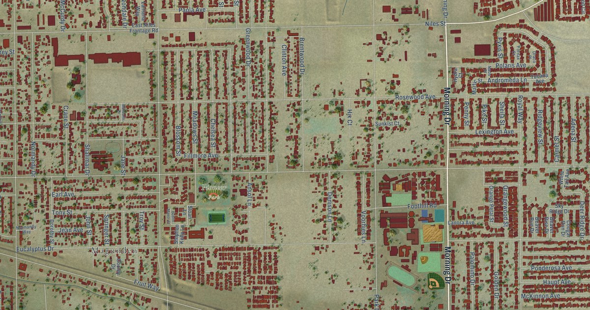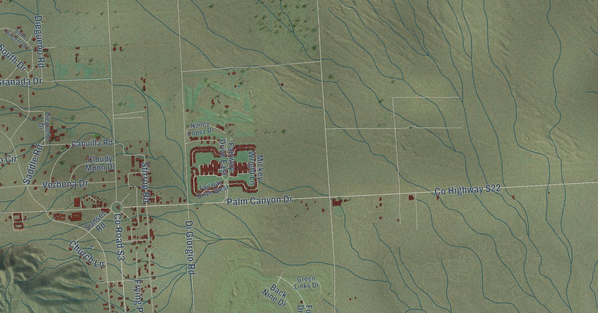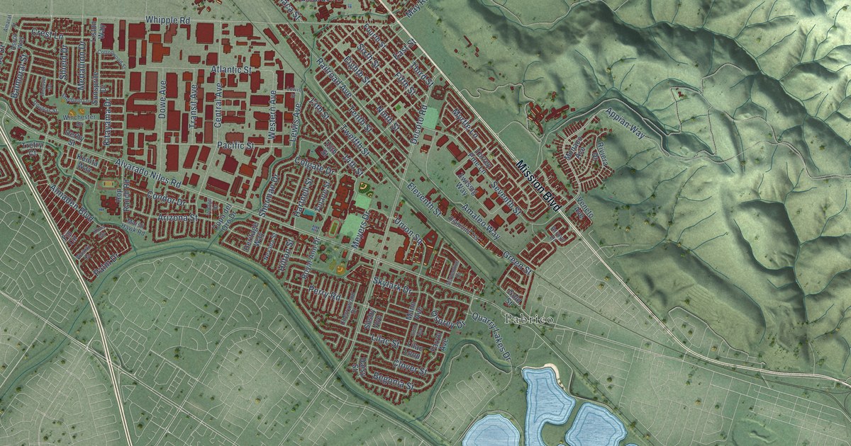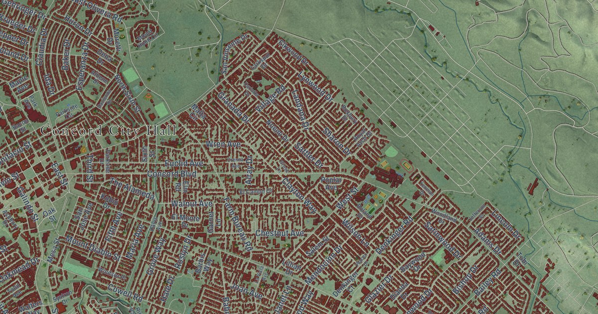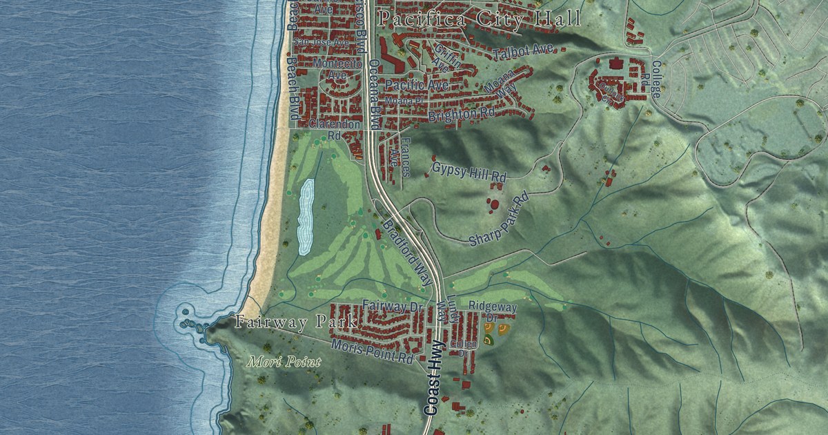
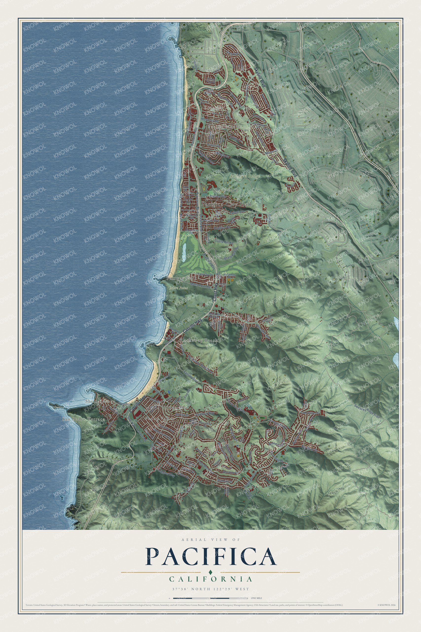
This beautifully detailed map of Pacifica, California was created in 2026 using aerial imagery combined with modern topographical, census, street and landmark data. It's a modern aerial view of Pacifica in San Mateo County, California, that combines modern data with a vintage aesthetic. The roads feature printed names, and if you look closely you can find your exact house accurately shown in its correct location.
Explore an aerial view of Pacifica, California
On this map you'll find Pacifica City Hall, Edgemar, Shelter Cove, Pacific Manor, San Pedro Terrace, Milagra Ridge, Mori Point, Fairway Park, Linda Mar, Pedro Valley, Rockaway Beach, Sharp Park, and more. Each red shape is a building, so zoom in on the preview and look for yours.
Here is a piece of Pacifica history, in the words of the record. The record at ohp.parks.ca.gov puts it this way: "His house, built 1842-46, afterwards was owned and remodeled by General Edward Kirkpatrick, it was purchased by the County of San Mateo in 1947 to be preserved as a public museum."
Pacifica is a city in San Mateo County. The Census Bureau counted 38,640 people here in 2020.
Take a closer look at the Pacifica map
Names on this map
These names are printed on this map.
Places: Pacifica City Hall, Edgemar, Shelter Cove, Pacific Manor, San Pedro Terrace, Milagra Ridge, Mori Point, Fairway Park, Linda Mar, Pedro Valley, Rockaway Beach, Sharp Park and Vallemar.
Streets and roads: Cabrillo Highway, Coast Highway, Skyline Boulevard, Beach Road, Hickey Boulevard, Beach Boulevard, Sweeney Ridge Trail, Anza Drive, Rockaway Beach Avenue, Andover Drive, Palmetto Avenue, Crespi Drive.
More street names, A to Z
Adobe Drive, Alcala Court, Alicante Drive, Alisal Court, Alviso Court, Angelita Avenue, Arguello Boulevard, Aspen Drive, Avalon Drive, Banyan Way, Barcelona Drive, Barton Place, Beachview Avenue, Bella Vista Avenue, Berendos Avenue, Big Bend Drive, Bower Road, Bradford Way, Brighton Road, Buel Avenue, Buffalo Court, Cape Breton Drive, Carmel Avenue, Catalina Avenue, Clarendon Road, Clifton Road, College Road, Coral Ridge Drive, Corona Drive, Cranham Court, Cullen Drive, Dardenelle Avenue, Dell Road, De Solo Drive, Desvio Court, Eastridge Circle, Edgemar Avenue, Edgewood Drive, Esplanade, Esplanade Avenue, Essex Way, Everglades Drive, Fairway Drive, Farallon Avenue, Fassler Avenue, Fire Road, Flores Drive, Foothill Drive, Forest Park Drive, Fourth Avenue, Frances Avenue, Francisco Boulevard, Fremont Avenue, Galvez Drive, Gateway Drive, Glacier Avenue, Grand Avenue, Grand Teton Drive, Griffin Avenue, Gypsy Hill Road, Heathcliff Drive, Higgins Way, Humboldt Court, Imperial Drive, Inverness Drive, Juanita Avenue, Kathleen Court, Keith Avenue, Lauren Avenue, Lerida Way, Lewis Lane, Linda Mar Boulevard, Lockhaven Drive, Lorry Lane, Lundy Way, Madeira Drive, Magellan Drive, Manor Drive, Manzanita Drive, Mason Drive, Milagra Drive, Miller Avenue, Mina Lane, Moana Place, Moana Way, Montecito Avenue, Monterey Road, Montezuma Drive, Moris Point Road, Oceana Boulevard, Oddstad Boulevard, Old County Road, Ortega Court, Outlook Circle, Pacific Avenue, Paloma Avenue, Palou Drive, Peralta Road, Perez Drive, Poplar Avenue, Rainier Avenue, Regina Way, Reichling Avenue, Reina del Mar Avenue, Ridgeway Drive, Rio Vista Drive, Roberts Road, Rosita Road, San Jose Avenue, San Marlo Way, San Pedro Avenue, San Pedro Terrace Road, Serena Drive, Seville Drive, Sharp Park Road, Sheila Lane, Shoreside Drive, Skyridge Drive, Solano Drive, Sunshine Drive, Surf Street, Talbot Avenue, Terra Nova Boulevard, Trout Farm Road, Valdez Way, Valencia Way, Westline Drive, Winwood Avenue, Yosemite Drive.
Created by KNOWOL in 2026. The buildings are small red shapes, the roads carry their printed names, and shaded relief shows the shape of the land. The title panel reads "AERIAL VIEW OF PACIFICA CALIFORNIA" with 37°38' NORTH 122°29' WEST.
It suits a den, a classroom or a front hall, and it makes a gift for anyone with Pacifica roots. Open the preview and find the block you know. See sizes and frames for the Pacifica map.