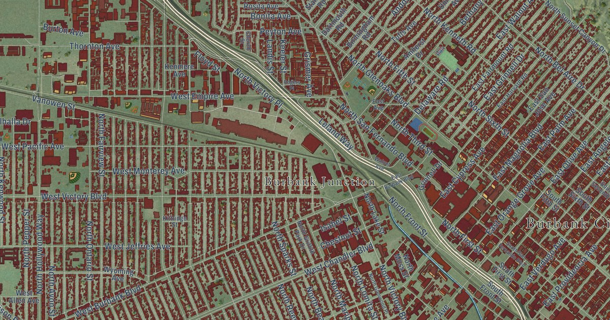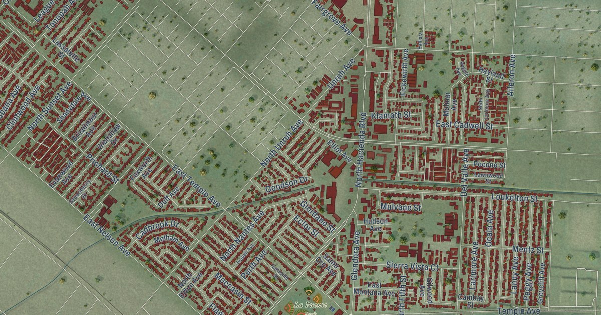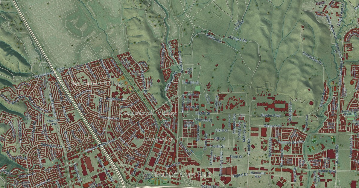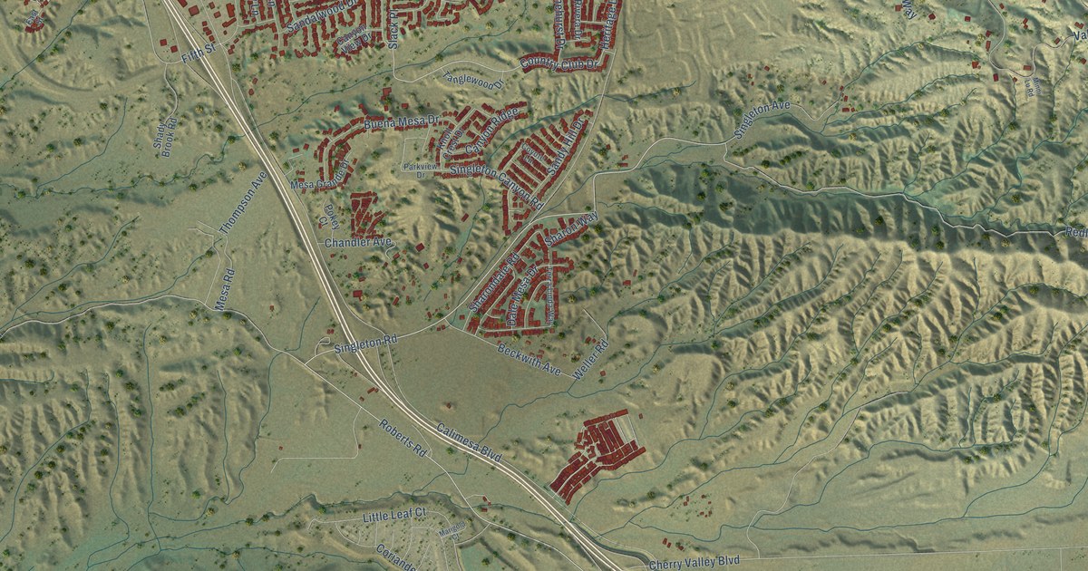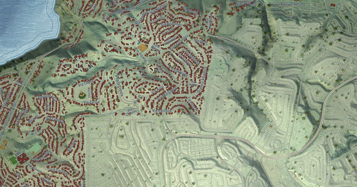
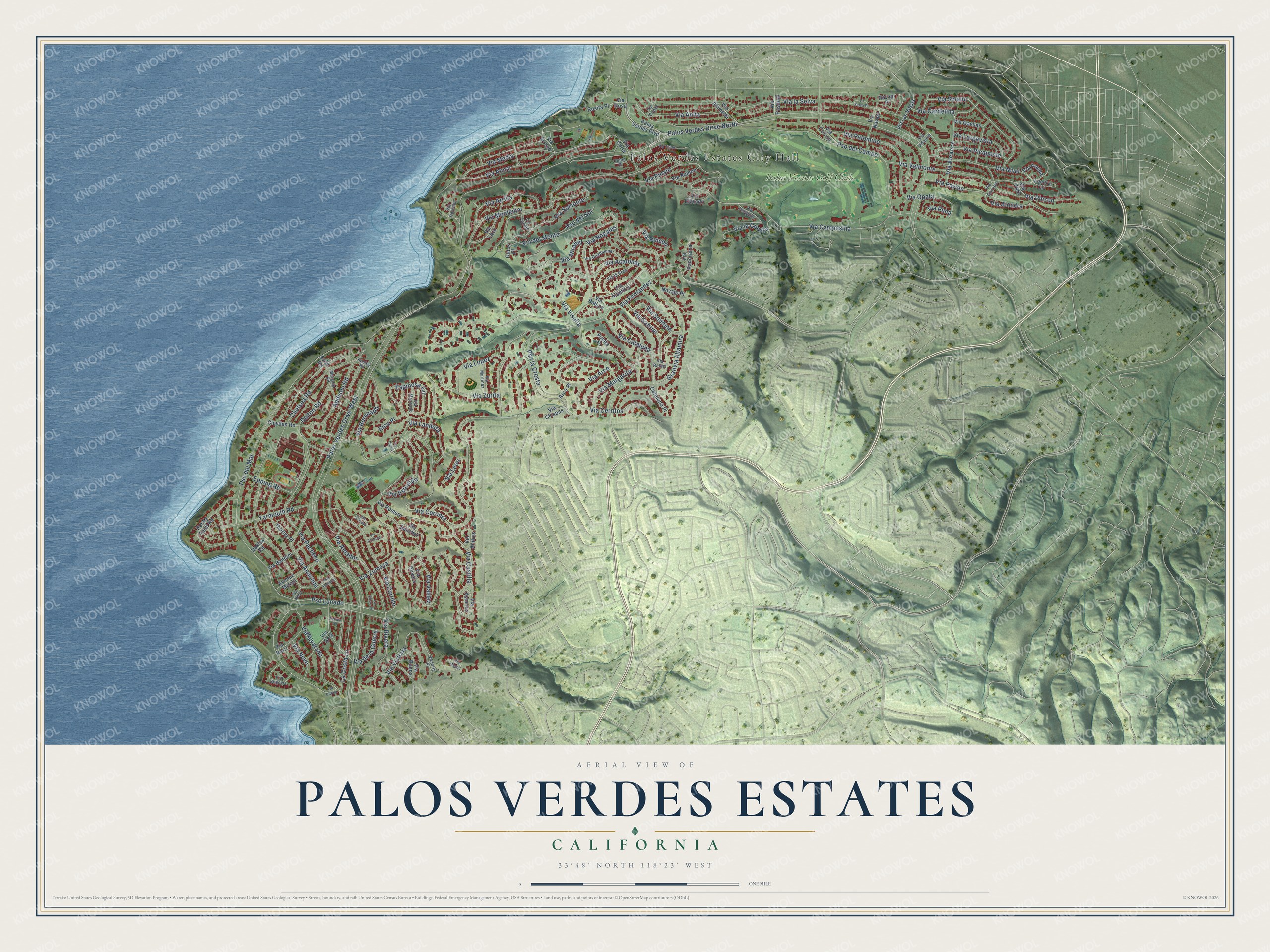
This beautifully detailed map of Palos Verdes Estates, California was created in 2026 using aerial imagery combined with modern topographical, census, street and landmark data. It's a modern aerial view of Palos Verdes Estates in Los Angeles County, California, that combines modern data with a vintage aesthetic. The roads feature printed names, and if you look closely you can find your exact house accurately shown in its correct location.
Explore an aerial view of Palos Verdes Estates, California
On this map you'll find Palos Verdes Estates City Hall, Palos Verdes Golf Club, Via Visalia, Via Mirabel, Espinosa Circle, Pso del Mar, Granvia Altamira, Pso Lunado, Via Estudillo, Via Alvarado, Via Coronel, Pso la Cresta, and more. Each red shape is a building, so zoom in on the preview and look for yours.
Every town has a first chapter, and Palos Verdes Estates is no exception. The National Register of Historic Places puts it this way: "Hunt's legacy in Palos Verdes Estates lives on in the design
ordinances he established for the city."
Palos Verdes Estates is a city in Los Angeles County. The Census Bureau counted 13,347 people here in 2020.
Take a closer look at the Palos Verdes Estates map
Names on this map
These names are printed on this map.
Places: Palos Verdes Estates City Hall and Palos Verdes Golf Club.
Streets and roads: Via Visalia, Via Mirabel, Espinosa Circle, Pso del Mar, Granvia Altamira, Pso Lunado, Via Estudillo, Via Alvarado, Palos Verdes Drive West, Via Coronel, Palos Verdes Drive North, Pso la Cresta.
More street names, A to Z
Addison Road, Apsley Road, Arco Place, Avenue Mirola, Avon Road, Cataluna Place, Chelsea Road, Cloyden Road, Dalton Road, Epping Road, Gatos Place, La Costa Lane, La Costa Place, La Selva Place, Lucera Circle, Margate Road, Navajo Place, Novato Place, Oakley Road, Palos Verdes Boulevard, Pso del Campo, Pso del Sol, Rico Place, Rocky Point Road, Rosita Place, Tejon Place, Thorley Place, Tyburn Road, Via Acalones, Via Adarme, Via Alameda, Via Alamitos, Via Alcance, Via Almar, Via Alondra, Via Amador, Via Anacapa, Via Andres, Via Anita, Via Arco, Via Arriba, Via Arroyo, Via Asturias, Via Azalea, Via Balboa, Via Bandini, Via Barri, Via Boronada, Via Buena, Via Caleta, Via Campesina, Via Capay, Via Cardelina, Via Carrillo, Via Castilla, Via Cataluna, Via Cerritos, Via Chispas, Via Colusa, Via Conejo, Via Corta, Via Curva, Via de la Guerra, Via del Monte, Via Elevado, Via Estrada, Via Fernandez, Via Fortuna, Via Gabriel, Via Gavilan, Via Gorrion, Via Guadalana, Via Horcada, Via Horquilla, Via la Brea, Via la Cuesta, Via Landeta, Via Largavista, Via la Selva, Via Las Vegas, Via Lazo, Via Leon, Via Lopez, Via Machado, Via Margarita, Via Martinez, Via Media, Via Miguel, Via Montemar, Via Navajo, Via Neve, Via Nivel, Via Nogales, Via Olivera, Via Opata, Via Pacheco, Via Palomino, Via Panorama, Via Paro, Via Pasqual, Via Pavion, Via Pena, Via Picaposte, Via Pima, Via Pinale, Via Pinzon, Via Rafael, Via Ramon, Via Rincon, Via Rivera, Via Romero, Via Rosa, Via Sanchez, Via Segovia, Via Sola, Via Solano, Via Somonte, Via Sonoma, Via Tejon, Via Valdez, Via Valmonte, Via Ventana, Via Victoria, Via Zumaya, Via Zurita, Victoria Place, Vuelta Place, Yarmouth Road.
Created by KNOWOL in 2026. The buildings are small red shapes, the roads carry their printed names, and shaded relief shows the shape of the land. The title panel reads "AERIAL VIEW OF PALOS VERDES ESTATES CALIFORNIA" with 33°48' NORTH 118°23' WEST.
Hang it in the hallway, the office or the cabin, or give it to someone who left Palos Verdes Estates and still calls it home. Open the preview and look for a street you know. See sizes and frames for the Palos Verdes Estates map.