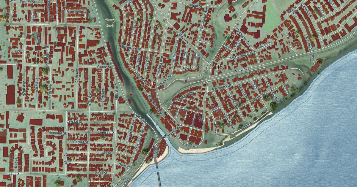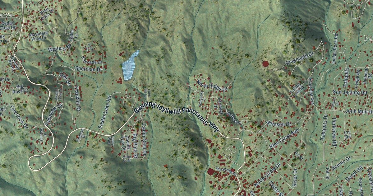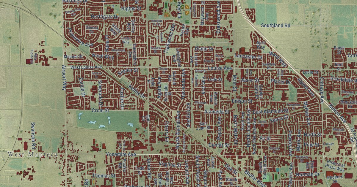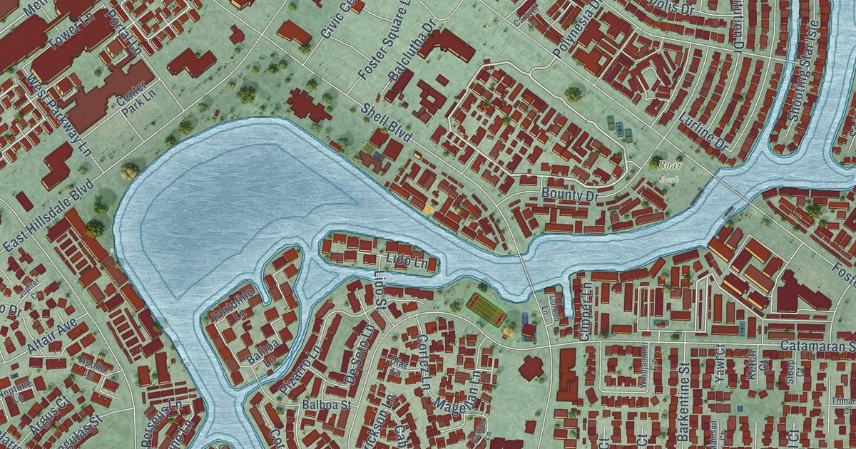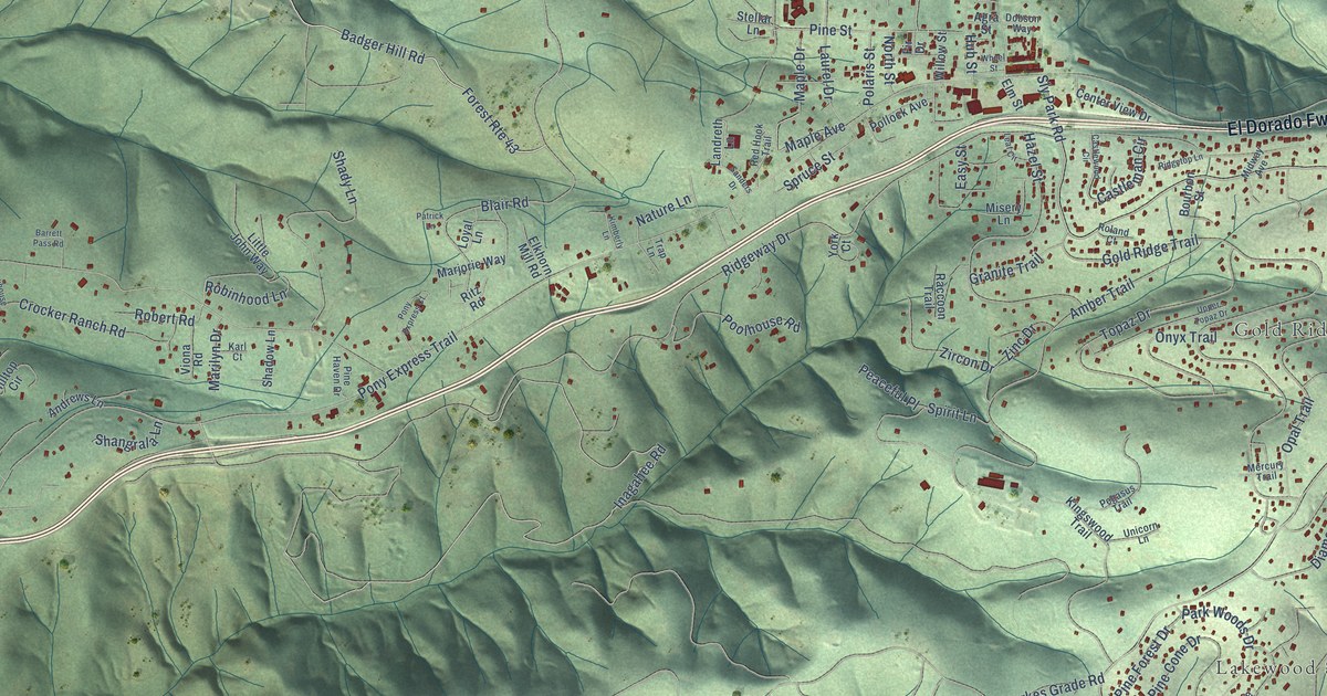
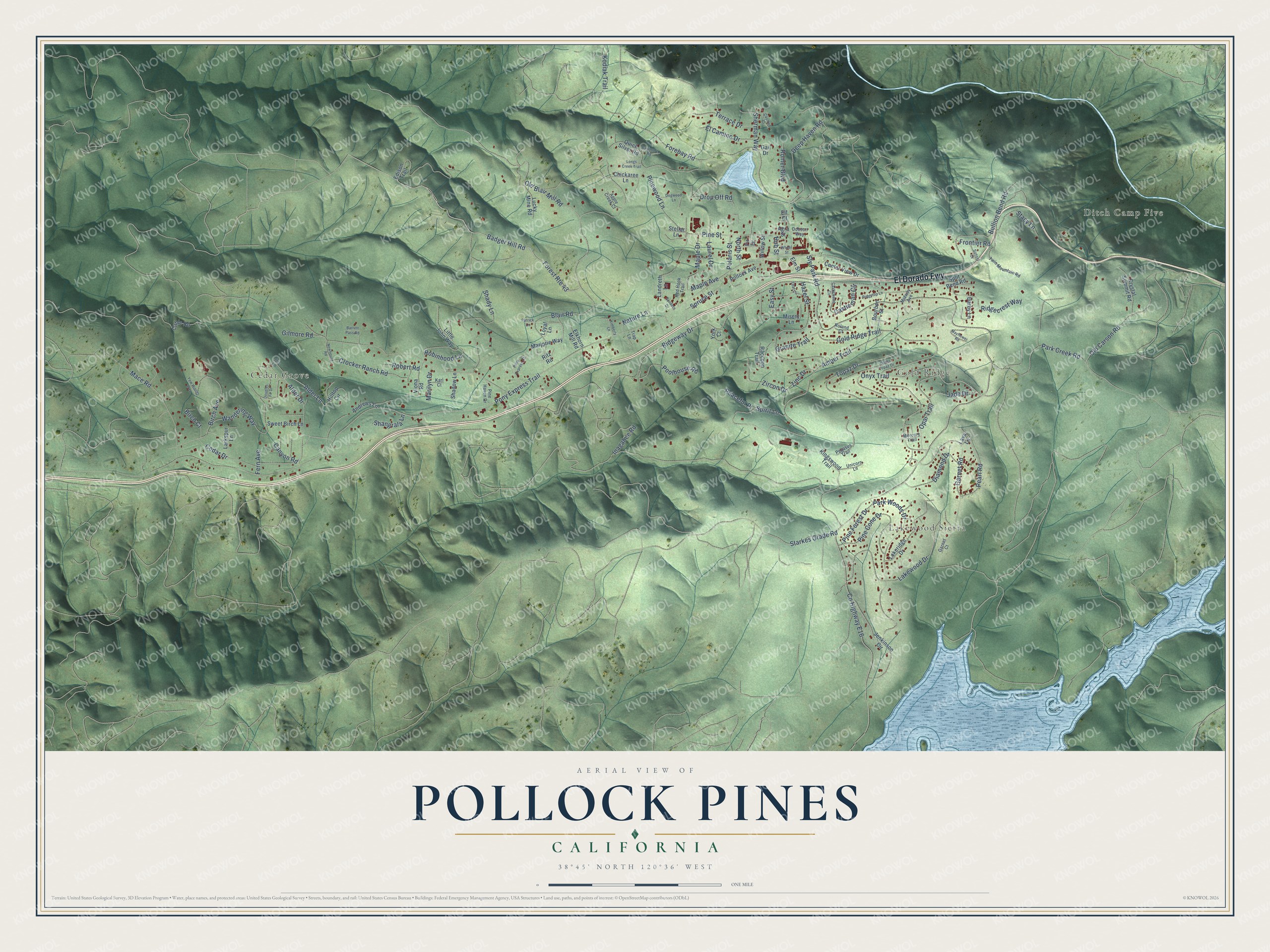
This beautifully detailed map of Pollock Pines, California was created in 2026 using aerial imagery combined with modern topographical, census, street and landmark data. It's a modern aerial view of Pollock Pines in El Dorado County, California, that combines modern data with a vintage aesthetic. The roads feature printed names, and if you look closely you can find your exact house accurately shown in its correct location.
Explore an aerial view of Pollock Pines, California
On this map you'll find Ditch Camp Five, Lakewood Sierra, Gold Ridge, Cedar Grove, El Dorado Fwy, Pine Street, Alder Lane, Badger Hill Road, Inagahee Road, Pony Express Trail, Co Highway E16, Sly Park Road, and more. Each red shape is a building, so zoom in on the preview and look for yours.
Pollock Pines is a community in El Dorado County. The Census Bureau counted 7,112 people here in 2020. The map prints the town name in its title panel, with the coordinates below it.
Take a closer look at the Pollock Pines map
Names on this map
These names are printed on this map.
Places: Ditch Camp Five, Lakewood Sierra, Gold Ridge and Cedar Grove.
Streets and roads: El Dorado Fwy, Pine Street, Alder Lane, Badger Hill Road, Inagahee Road, Pony Express Trail, County Highway E16, Sly Park Road, Ridgeway Drive, Blair Road, Gold Ridge Trail, Forebay Road.
More street names, A to Z
Agra Street, Alder Drive, Amber Trail, Andrews Lane, Apple Creek Court, Baltimore Road, Barrett Pass Road, Birch Avenue, Birch Court, Bourbon Street, Bullion Bend Road, Cable Road, Canyon Road, Castleman Circle, Castlewood Circle, Cayman Court, Cedar Drive, Center View Drive, Chickaree Lane, Crocker Ranch Road, Crystal Summit Road, Darby Lane, Deep Haven Road, Diamond Drive, Dobson Way, Dogwood Lane, Douglas Fir Drive, Drop Off Road, Easy Street, Edison Trail, El Camino Drive, Elf Court, Elkhorn Mill Road, Elm Street, Fern Avenue, Fir Drive, Forest Route 43, Frontier Road, Gail Drive, Garnet Court, Garnet Road, Gilmore Road, Granite Trail, Hazel Street, Hilltop Circle, Hub Street, Iris Lane, Jade Drive, Jenkinson Circle, Karl Court, Kimberly Lane, Kingswood Trail, Kodiak Trail, Lakeridge Drive, Lakewood Drive, Landreth Lane, Larkspur Lane, Laurel Drive, Lava Lane, Leaf Circle, Little John Way, Longs Creek Trail, Loyal Lane, Lucky Mine Road, Mace Road, Maple Avenue, Maple Drive, Marilyn Drive, Marjorie Way, Mayflower Road, Mercury Trail, Midway Avenue, Misery Lane, Nature Lane, Newhouse Road, North Street, Old Blair Mill Road, Old Carson Road, Onyx Trail, Opal Trail, Park Creek Road, Park Woods Drive, Patrick Lane, Peaceful Place, Pearl Road, Pegasus Trail, Pine Cone Drive, Pine Forest Drive, Pine Haven Drive, Pinewood Lane, Polaris Street, Pollock Avenue, Pony Express Court, Poolhouse Road, Quick Silver Road, Raccoon Trail, Red Hook Trail, Ridgecrest Way, Ridgetop Lane, Ritz Road, Robert Road, Robinhood Lane, Roland Court, Romer Boulevard, Sanders Drive, Shadow Lane, Shady Lane, Shangrala Lane, Sherman Way, Spirit Lane, Split Bend Road, Spruce Street, Stacy Lane, Starkes Grade Road, Stellar Lane, Sunset Drive, Sweet Birch Lane, Terrace Drive, Topaz Drive, Trap Lane, Twin Mountain Road, Unicorn Lane, Upper Topaz Drive, Viona Road, Wandering Way, Wheel Street, Willow Street, Yew Woods Way, York Court, Zinc Drive, Zircon Drive.
Created by KNOWOL in 2026. The buildings are small red shapes, the roads carry their printed names, and shaded relief shows the shape of the land. The title panel reads "AERIAL VIEW OF POLLOCK PINES CALIFORNIA" with 38°45' NORTH 120°36' WEST.
It suits a den, a classroom or a front hall, and it makes a gift for anyone with Pollock Pines roots. Open the preview and find the block you know. See sizes and frames for the Pollock Pines map.