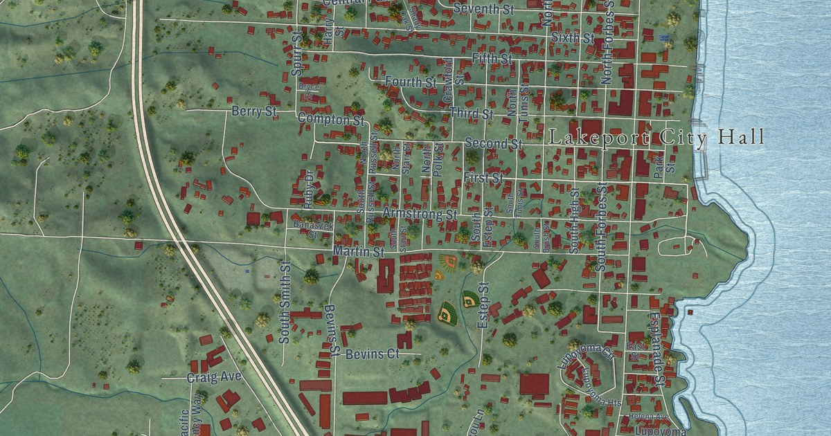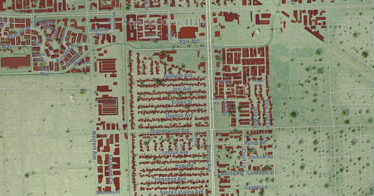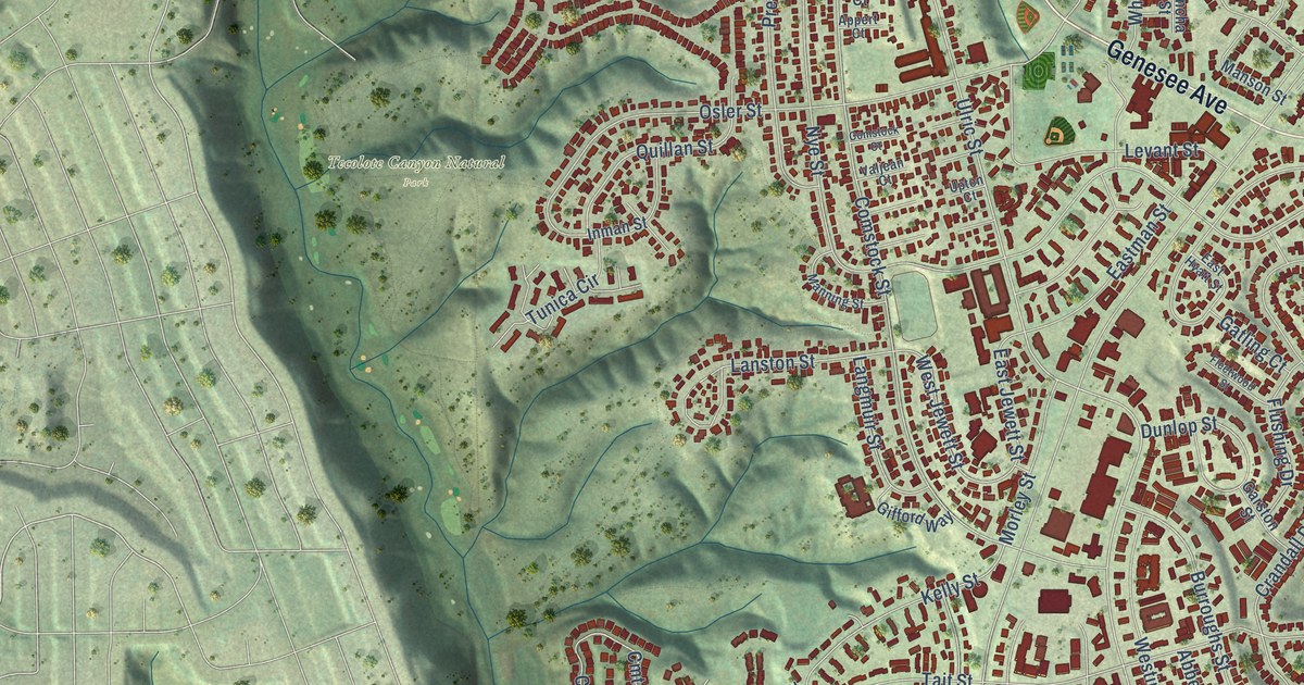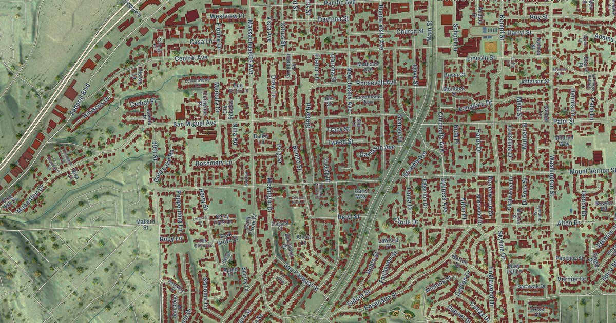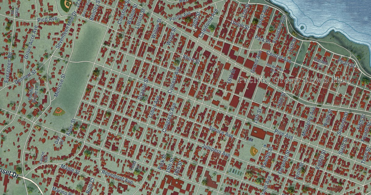
This beautifully detailed map of Pacific Grove, California was created in 2026 using aerial imagery combined with modern topographical, census, street and landmark data. It's a modern aerial view of Pacific Grove in Monterey County, California, that combines modern data with a vintage aesthetic. The roads feature printed names, and if you look closely you can find your exact house accurately shown in its correct location.
Explore an aerial view of Pacific Grove, California
On this map you'll find Pacific Grove Town Hall, Pacific Grove Acres, Asilomar State Marine Reserve, El Carmelo Cemetery, Monterey Bay National Marine Sanctuary, Sunset Drive, Forest Avenue, Holman Highway, Ocean View Boulevard, Asilomar Avenue, Asilomar Boulevard, Sinex Avenue, and more. Each red shape is a building, so zoom in on the preview and look for yours.
Every town has a first chapter, and Pacific Grove is no exception. The record at ohp.parks.ca.gov puts it this way: "The historic buildings in were designed and built by renowned California architect Julia Morgan between 1913 and 1928, in the First Bay Tradition, a regional off-shoot of the Arts and Crafts Movement."
Pacific Grove is a city in Monterey County. The Census Bureau counted 15,090 people here in 2020.
Take a closer look at the Pacific Grove map
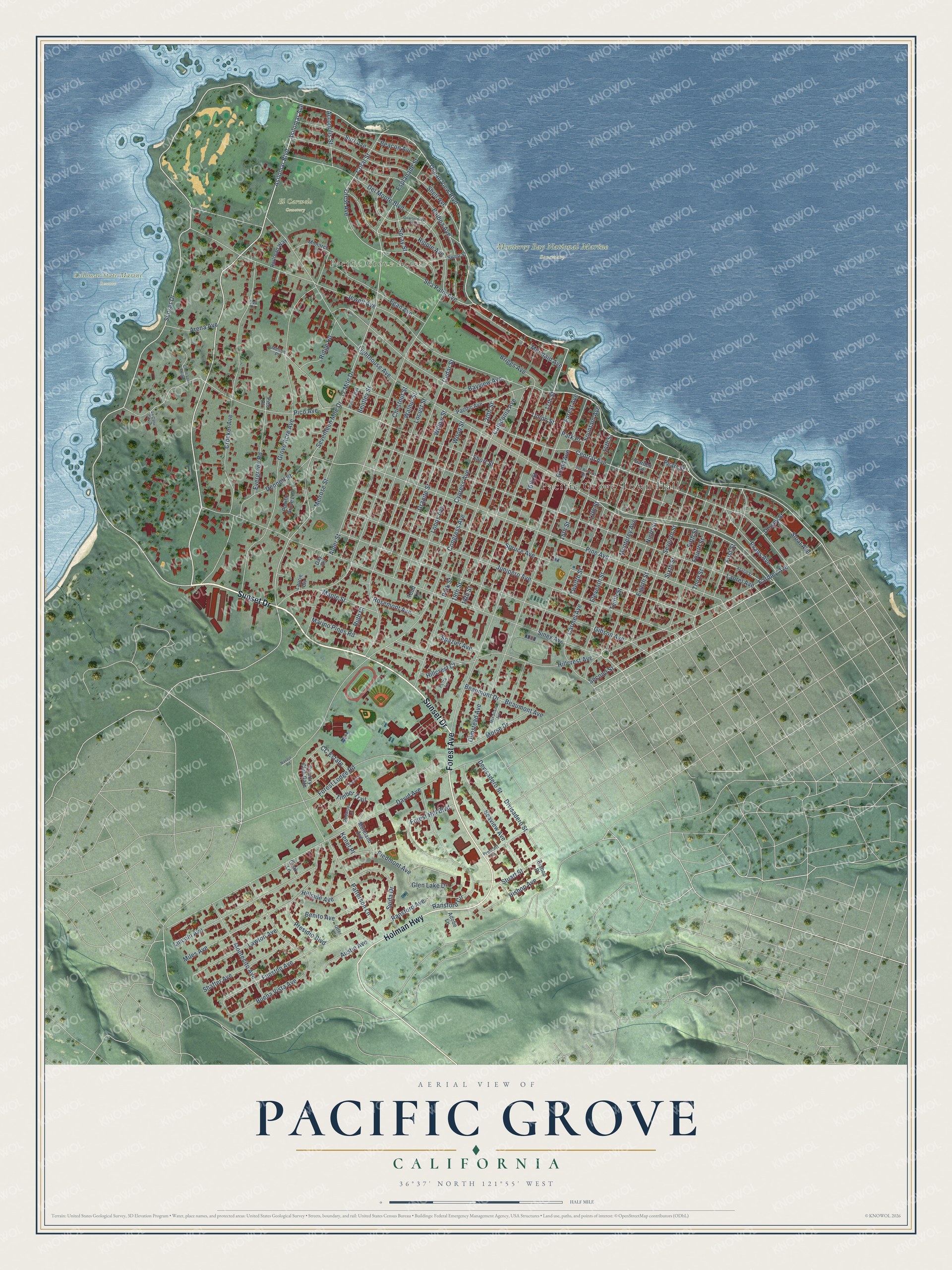
Names on this map
These names are printed on this map.
Places: Pacific Grove Town Hall, Pacific Grove Acres, Asilomar State Marine Reserve, El Carmelo Cemetery and Monterey Bay National Marine Sanctuary.
Streets and roads: Sunset Drive, Forest Avenue, Holman Highway, Ocean View Boulevard, Asilomar Avenue, Asilomar Boulevard, Sinex Avenue, Spruce Avenue, 20th Street, Lighthouse Avenue, Funston Avenue, Balboa Avenue.
More street names, A to Z
13th Street, 14th Street, 15th Street, 16th Street, 17 Mile Drive, 17th Street, 18th Street, 19th Street, Acacia Street, Acropolis Street, Adobe Lane, Alder Street, Arena Avenue, Austin Avenue, Bayview Avenue, Beacon Avenue, Beaumont Avenue, Beaumont Drive, Benito Avenue, Bentley Street, Bishop Avenue, Bishop Place, Briggs Avenue, Buena Vista Avenue, Caledonia Avenue, Carmel Avenue, CC Estate, Cedar Street, Central Avenue, Chestnut Street, Clark Lane, Cll de Los Amigos, Congress Avenue, Coral Street, Country Club Gate, Crest Avenue, Crocker Avenue, Cypress Avenue, David Avenue, Day Circle, Del Monte Boulevard, Dennett Street, Devisadero Street, Dewey Street, Divisadero Street, Doc Ricketts Row, Eardley Avenue, Egan Avenue, Eighth Street, Eleventh Street, Esplanade Street, Evans Avenue, Evergreen Road, Fifth Street, First Street, Forest Hill Boulevard, Forest Lodge Road, Fountain Avenue, Fourth Street, Garden Lane, Gibson Avenue, Glen Lake Drive, Grand Avenue, Granite Street, Grove Acre Avenue, Hillcrest Avenue, Hillcrest Court, Hillside Avenue, Jewell Avenue, Junipero Avenue, Kenet Place, La Calle Corte, Laurel Avenue, Laurie Circle, Lawton Avenue, Lincoln Avenue, Lobos Avenue, Locust Street, Maple Street, Marino Pines Road, McFarland Avenue, Melrose Street, Melton Place, Mermaid Avenue, Miles Avenue, Monarch Lane, Montecito Avenue, Monterey Avenue, Moreland Avenue, Morse Drive, Navajo Road, Ninth Street, Oak Place, Olmstead Avenue, Otter Lane, Pacific Avenue, Pacific Grove Lane, Park Place, Park Street, Patterson Lane, Pearl Street, Petra Lane, Pico Avenue, Pico Place, Piedmont Avenue, Pine Avenue, Prescott Lane, Presidio Boulevard, Quarterdeck Way, Railroad Way, Ransford Avenue, Ransford Circle, Redwood Lane, Ridge Road, Ripple Avenue, Rosemont Avenue, Ruth Court, Sage Court, Sea Palm Avenue, Seaview Avenue, Second Street, Seventeen Mile Drive, Seventh Street, Shafter Avenue, Shell Avenue, Short Street, Siren Street, Sixth Street, Sloat Avenue, Spazier Avenue, Spray Street, Stuart Street, Surf Avenue, Syida Drive, Tenth Street, Third Street, Timber Trail, Todd Lane, Twelfth Street, Union Street, Walcott Way, Walnut Street, Willow Street, Wood Street.
Created by KNOWOL in 2026. The buildings are small red shapes, the roads carry their printed names, and shaded relief shows the shape of the land. The title panel reads "AERIAL VIEW OF PACIFIC GROVE CALIFORNIA" with 36°37' NORTH 121°55' WEST.
Hang it in the hallway, the office or the cabin, or give it to someone who left Pacific Grove and still calls it home. Open the preview and look for a street you know. See sizes and frames for the Pacific Grove map.