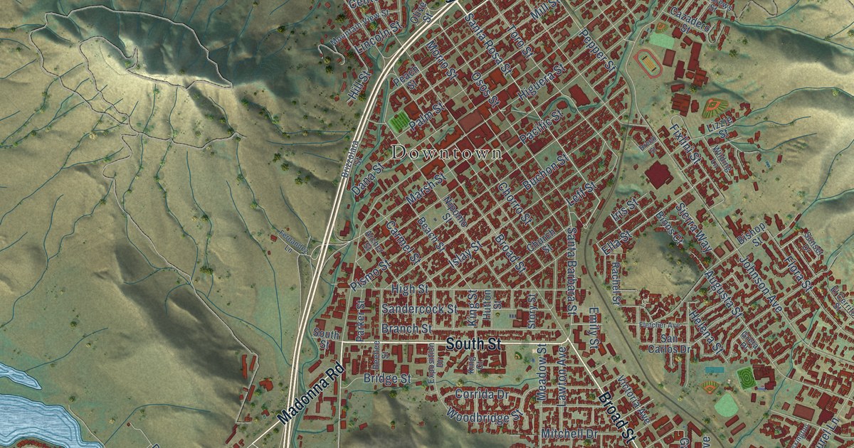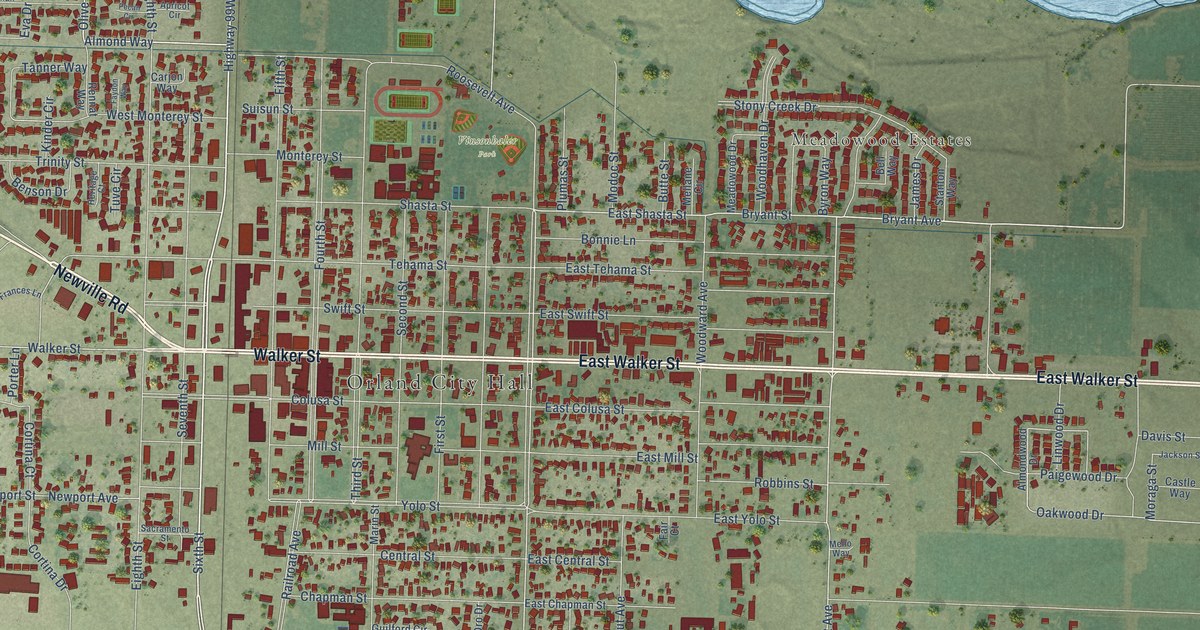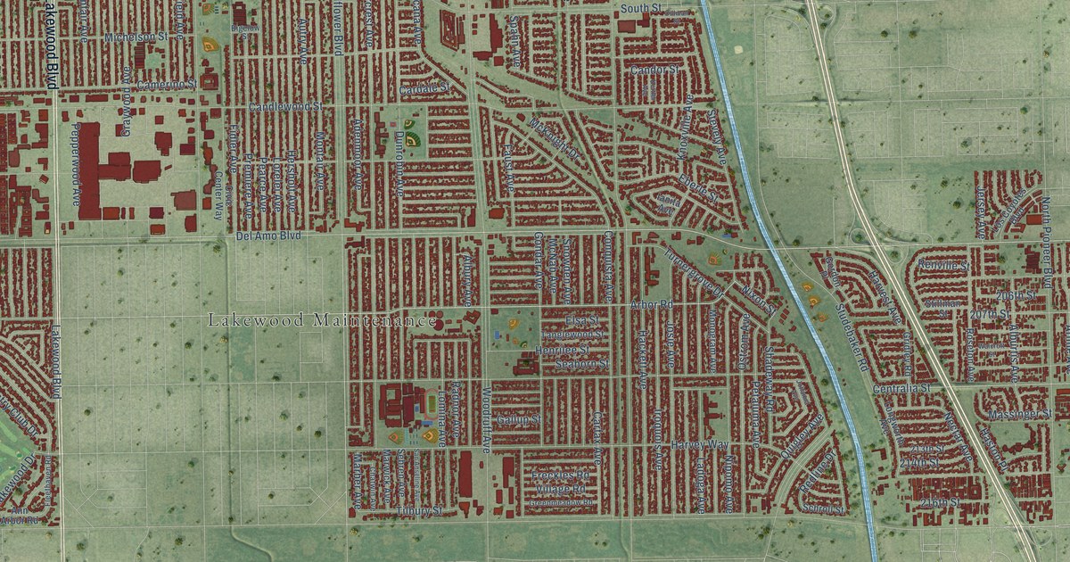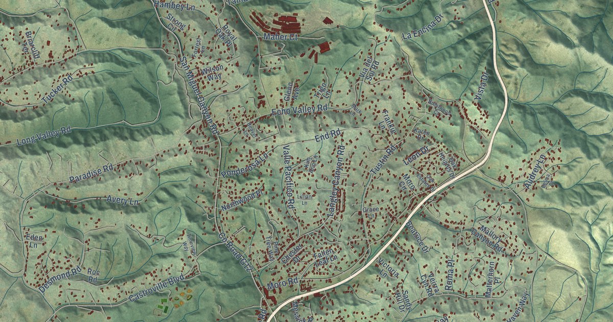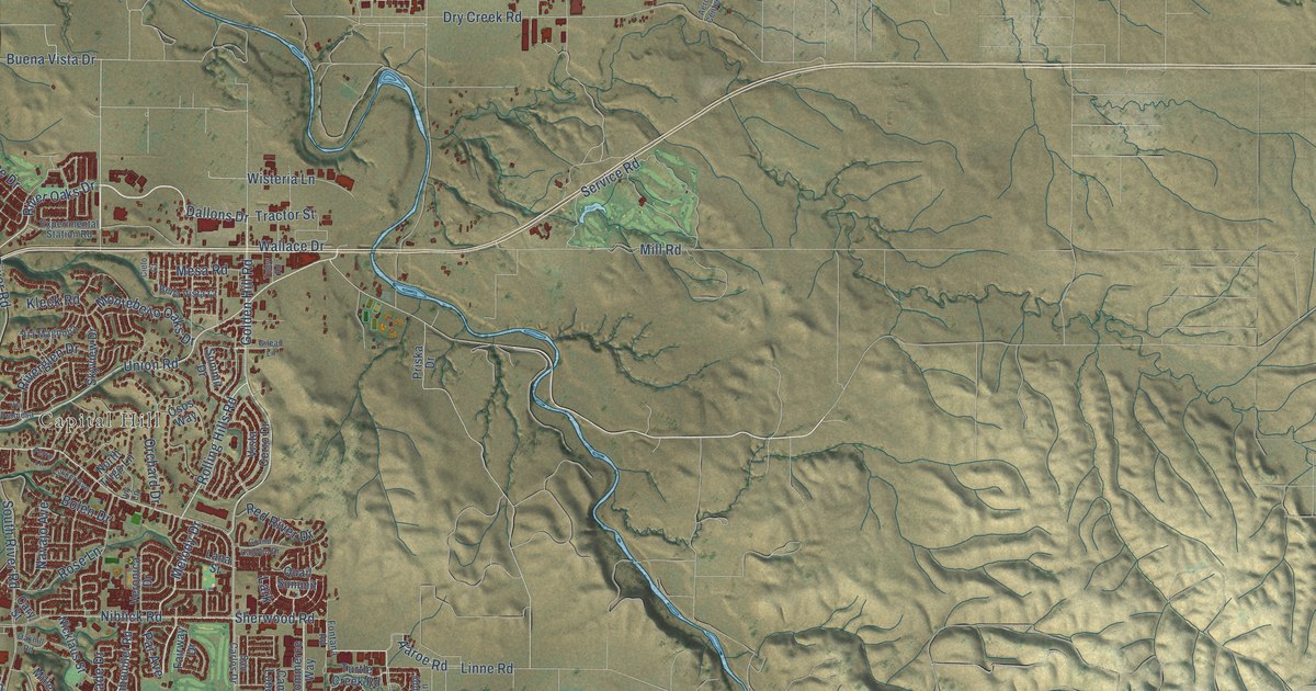
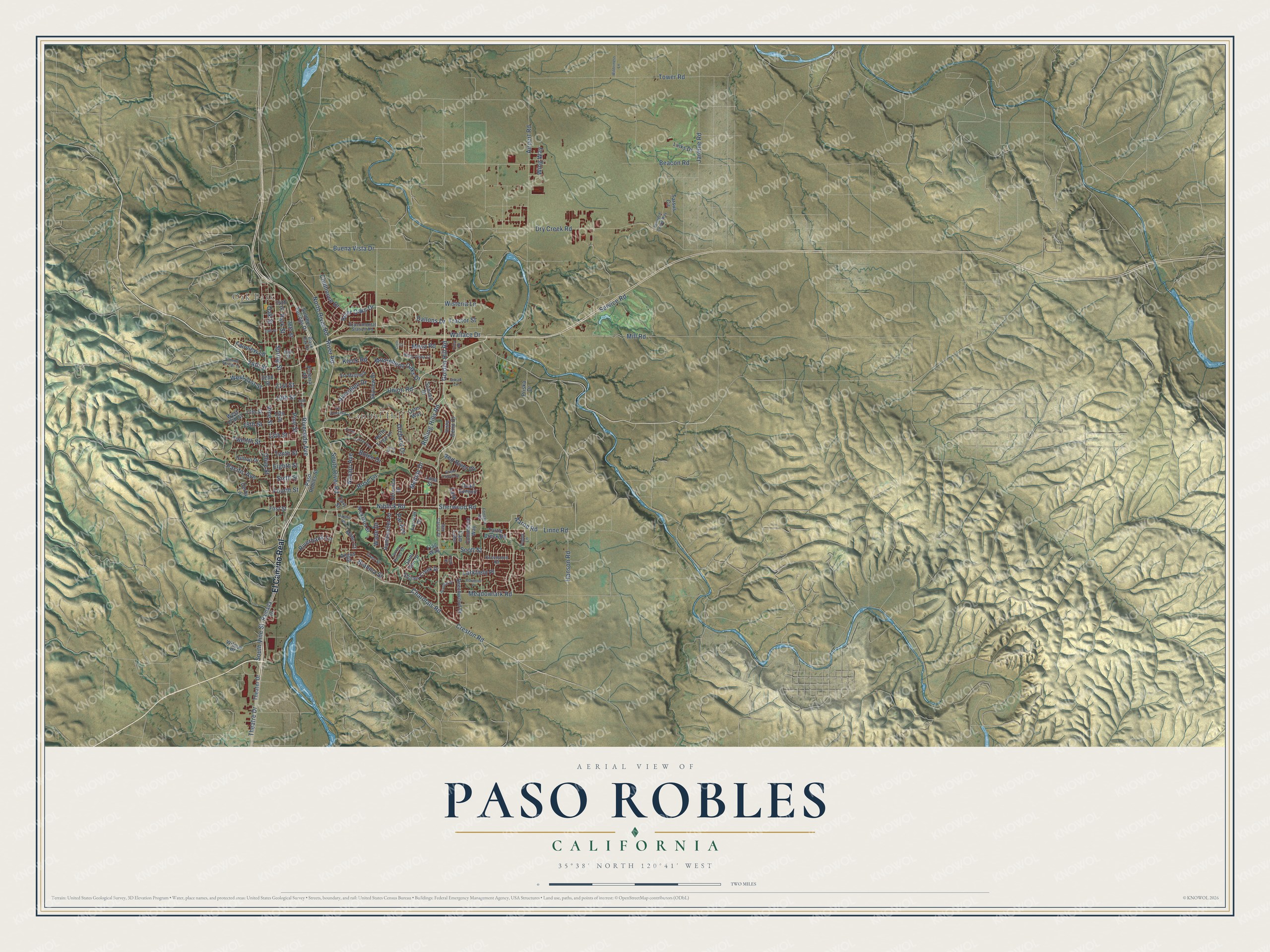
This beautifully detailed map of Paso Robles, California was created in 2026 using aerial imagery combined with modern topographical, census, street and landmark data. It's a modern aerial view of Paso Robles in San Luis Obispo County, California, that combines modern data with a vintage aesthetic. The roads feature printed names, and if you look closely you can find your exact house accurately shown in its correct location.
Explore an aerial view of Paso Robles, California
On this map you'll find Oak Park, Capital Hill, El Camino Real, Golden Hill Road, Buena Vista Drive, Dallons Drive, Union Road, Vine Street, Niblick Road, Sherwood Road, Spring Street, 21st Street, and more. Each red shape is a building, so zoom in on the preview and look for yours.
Paso Robles has a story worth telling. The record at ohp.parks.ca.gov puts it this way: "This was the first Protestant church to be erected in the northern part of San Luis Obispo County."
Paso Robles is a city in San Luis Obispo County. The Census Bureau counted 31,490 people here in 2020.
Take a closer look at the Paso Robles map
Names on this map
These names are printed on this map.
Places: Oak Park and Capital Hill.
Streets and roads: El Camino Real, Golden Hill Road, Buena Vista Drive, Dallons Drive, Union Road, Vine Street, Niblick Road, Sherwood Road, Spring Street, 21st Street, Creston Road, Airport Road.
More street names, A to Z
13th Street, 15th Street, 16th Street, 17th Street, 18th Street, 19th Street, 22nd Street, 24th Street, 26th Street, 28th Street, 30th Street, 34th Street, Aaroe Road, Aerotech Center Way, Almond Springs Drive, Angus Street, Ashwood Place, Beacon Road, Beechwood Drive, Bella Vista Court, Black Oak Drive, Bolen Drive, Brahma Street, Cam Lobo, Cary Street, Charolais Road, Cielo Court, Clubhouse Drive, Commerce Way, Derby Lane, Dry Creek Road, Eighth Street, Experimental Station Road, Fairview Lane, Fairway Drive, Ferro Lane, First Street, Flag Way, Fontana Road, Fourth Street, Gilead Lane, Grand Canyon Drive, Hanson Road, Hilltop Drive, Ivy Lane, Jardine Road, Kleck Road, Lana Street, Lark, Larkfield Place, Links Drive, Linne Road, Meadowlark Road, Melody Drive, Mesa Road, Miller Court, Mill Road, Montebello Oaks Drive, Navajo Avenue, Nicklaus Street, North River Road, North Trigo Lane, Oakhill Road, Oak Street, Olive Street, Orchard Drive, Osos Way, Oxen Street, Pacific Avenue, Par Avenue, Park Street, Paso Robles Street, Pine Street, Poppy Lane, Priska Drive, Quail Summit, Queenanne Road, Ramada Drive, Rambouillet Road, Red River Drive, Riverbank Lane, Riverglen Drive, River Oaks Drive, River Road, Riverside Avenue, Rolling Hills Road, Rose Lane, Saint Ann Drive, San Carlos Drive, Scott Street, Service Road, Sixth Street, Skyview Drive, South River Road, South Vine Street, Starling Drive, Stoney Creek Drive, Sulphur Springs Drive, Summit Drive, Tarsus Circle, Teak Drive, Tenth Street, Theater Drive, Theatre Drive, Torrey Pines Drive, Tower Road, Tractor Street, Tucker Avenue, Tuley Road, Turtle Creek Road, Twelfth Street, Veronica Drive, Via Magnolia, Via Promesa, Victoria Place, Vista Cerro Drive, Wade Drive, Wallace Drive, West 17th Street, West 21st Street, Wilderness Lane, Wilmar Place, Wing Way, Wisteria Lane.
Created by KNOWOL in 2026. The buildings are small red shapes, the roads carry their printed names, and shaded relief shows the shape of the land. The title panel reads "AERIAL VIEW OF PASO ROBLES CALIFORNIA" with 35°38' NORTH 120°41' WEST.
It looks right in a kitchen, an office or a den, and it's a gift for anyone who grew up in Paso Robles or moved away. Open the preview and find your street. See sizes and frames for the Paso Robles map.