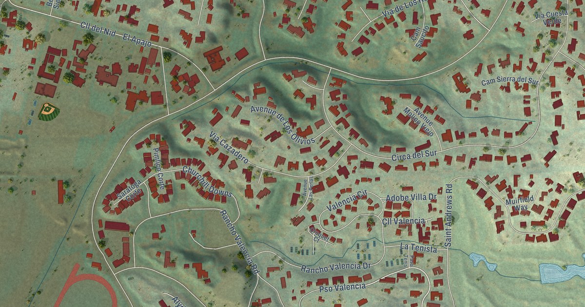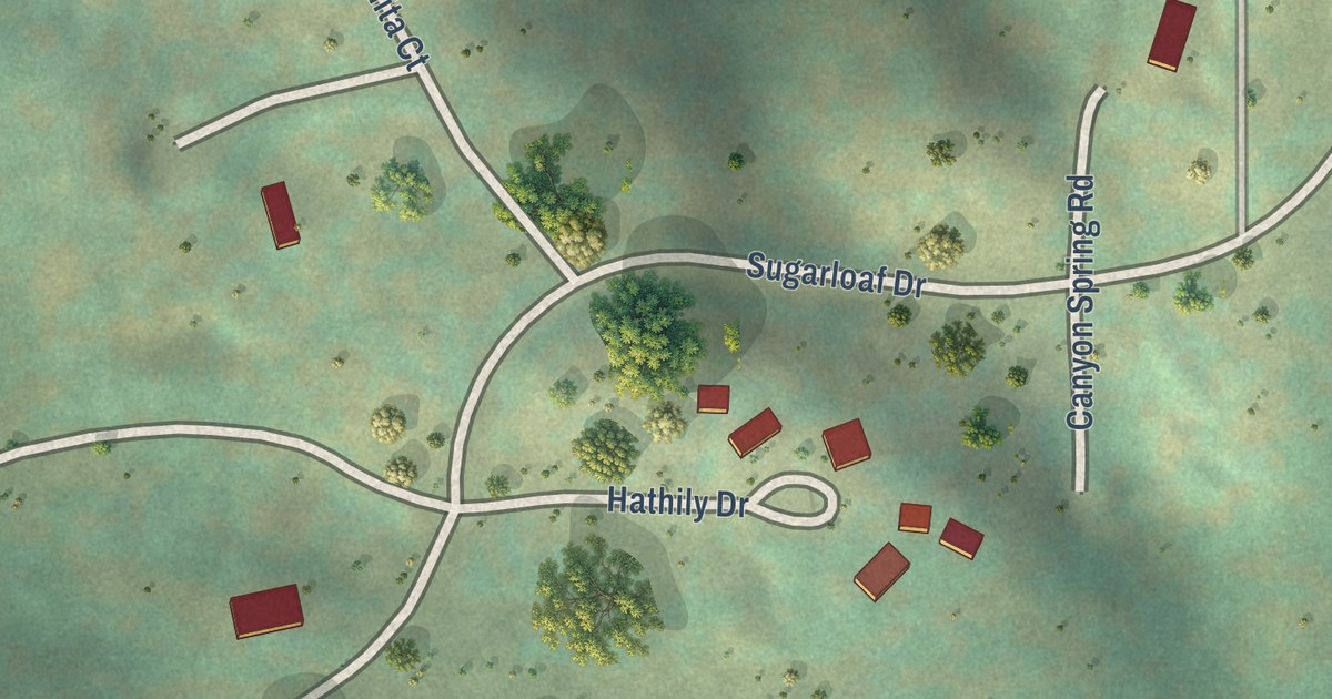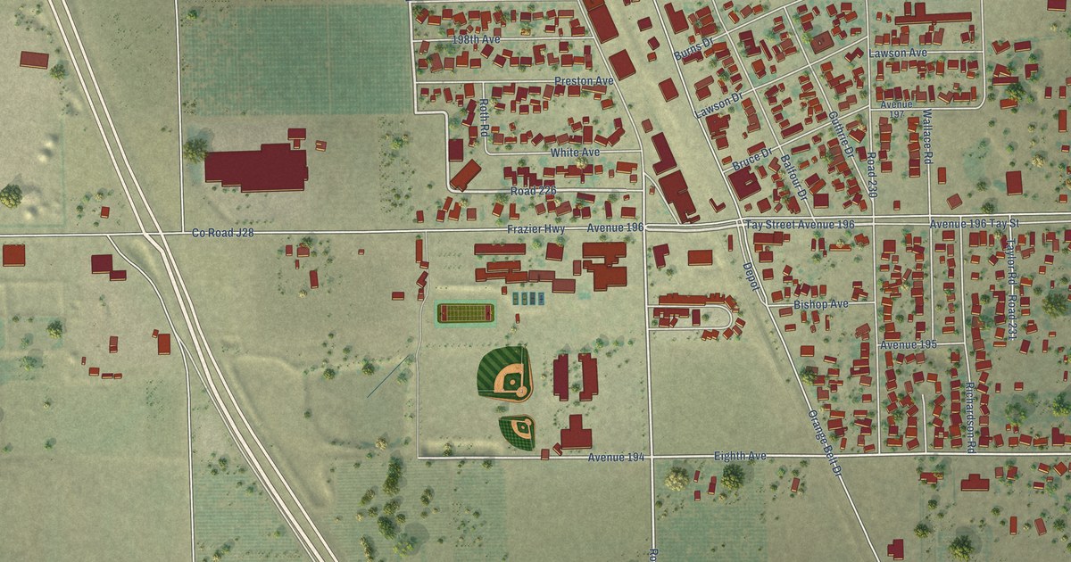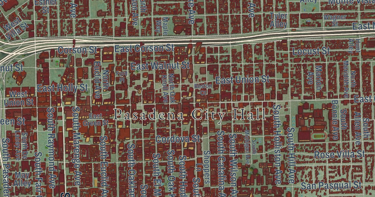
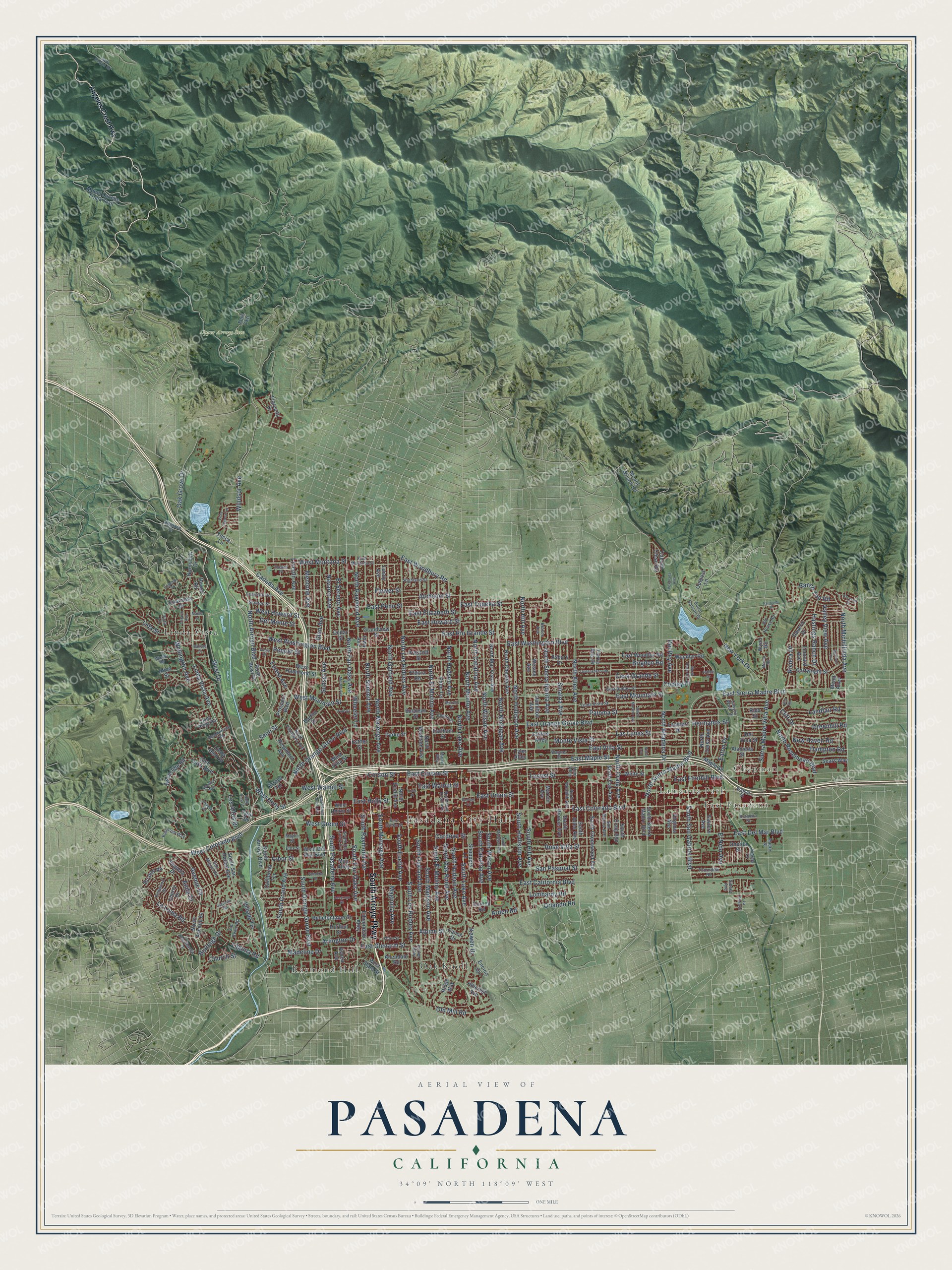
This beautifully detailed map of Pasadena, California was created in 2026 using aerial imagery combined with modern topographical, census, street and landmark data. It’s a one-of-a-kind view of Pasadena that combines accurate data with a vintage aesthetic. The map shows every building in its true location, many of the roads carry their names, and the shaded topographic relief shows the shape of the land.
Explore an aerial view of Pasadena, California
On the map you’ll find Pasadena City Hall, Chapman, East Pasadena, Lamanda Park, Upper Arroyo Seco, Linda Vista, Oak Knoll, and Raymond Hill, along with South Arroyo Parkway, North Arroyo Boulevard, East Colorado Boulevard, North Fair Oaks Avenue, and more. If you look closely you can even find your house accurately drawn in its correct location. Zoom in on the preview to look for yours.
Did you know this piece of Pasadena, California history?
From the National Register of Historic Places: "Pasadena groups like the Pasadena Better Road Society (founded in 1899) and the Pasadena Auto Club (founded in 1903) were local advocates for roadway improvements."
Take a closer look at the Pasadena map
Street and place names on the Pasadena, California map
These names are printed on the map of Pasadena, California.
Places: Pasadena City Hall, Chapman, East Pasadena, Lamanda Park, Upper Arroyo Seco, Raymond Hill, Linda Vista and Oak Knoll.
Streets and roads: South Arroyo Parkway, North Arroyo Boulevard, East Colorado Boulevard, Linda Vista Avenue, East Corson Street, North Fair Oaks Avenue, West Colorado Boulevard, East Sierra Madre Boulevard, South Fair Oaks Avenue, North Sierra Madre Boulevard, Seco Street, Corson Street.
More street names, A to Z
Afton Street, Alameda Street, Allendale Road, Alpine Street, Angeles Crest Highway, Anita Drive, Arbor Street, Arden Road, Arlington Drive, Arroyo Terrace, Asbury Drive, Ashley Drive, Atchison Street, Avenue 64, Avoca Avenue, Banyan Street, Barker Alley, Barthe Drive, Bellefontaine Street, Boston Court, Brandon Street, Bresee Avenue, Brigden Road, Brixton Road, Buckeye Street, Burleigh Drive, California Terrace, Canada Avenue, Canon Drive, Canyon Close Road, Canyon Wash Drive, Cartwright Street, Casa Grande Street, Cedar Street, Chateau Road, Cherry Drive, Church Street, Cliff Drive, Clifton Alley, Congress Street, Coniston Road, Cooley Place, Cordova Street, Cornell Road, Cresthaven Drive, Dark Canyon Road, Daveric Drive, Del Monte Street, Del Rey Avenue, Del Vina Street, Devon Road, Earlham Street, East California Boulevard, East Del Mar Boulevard, East Dudley Street, East Elizabeth Street, Eastern Avenue, East Foothill Boulevard, East Glenarm Street, East Green Street, East Holly Street, East Howard Street, East Maple Street, East Montana Street, East Mountain Street, East Orange Grove Boulevard, East Penn Street, East Rio Grande Street, East Topeka Street, East Union Street, East Villa Street, East Walnut Street, East Washington Boulevard, East Woodbury Road, East Woodlyn Road, Eaton Canyon Drive, Eaton Drive, Edgehill Place, Edmondson Alley, Eldora Road, Ellis Street, Elmira Street, El Nido Avenue, El Sereno Avenue, Encino Drive, Esther Street, Fairpoint Street, Fern Drive, Fern Tktl, Florecita Drive, Flower Street, Ford Place, Forest Avenue, Glen Avenue, Glen Oaks Boulevard, Grandview Street, Greenhill Road, Hamilton Avenue, Hampton Road, Hastings Ranch Drive, Heatherside Road, Hermanos Street, Highland Drive, Highland Street, Hillcrest Avenue, Hillside Terrace, Holly Vista Drive, Hunt Alley, Hurlbut Street, Inverness Drive, Iowa Avenue, Kewen Drive, Laguna Road, Lagunita Road, La Loma Road, Lambert Drive, Landfair Road, La Presa Drive, Las Lunas Street, Leonard Avenue, Lida Street, Lincoln Avenue, Linda Glen Drive, Linda Ridge Road, Locust Street, Loma Vista Street, Lombardy Road, Los Altos Drive, Lundy Avenue, Madeline Drive, Madia Street, Madre Street, Magnolia Avenue, Manford Way, Maple Street, Maple Way, Marion Avenue, May Alley, Maylin Street, Mead Alley, Mentone Avenue, Merrett Drive, Mesita Road, Monte Vista Street, Morton Avenue, Mount Lukens Truck Trail, Mount Wilson Road, Navarro Avenue, New Haven Road, New York Drive, Normandy Drive, North Allen Avenue, North Altadena Drive, North Avenue 64, North Catalina Avenue, North Chester Avenue, North Craig Avenue, North Daisy Avenue, North El Molino Avenue, North Euclid Avenue, North Garfield Avenue, North Hill Avenue, North Holliston Avenue, North Hudson Avenue, North Lake Avenue, North Los Robles Avenue, North Madison Avenue, North Marengo Avenue, North Martelo Avenue, North Mar Vista Avenue, North Mentor Avenue, North Meridith Avenue, North Michigan Avenue, North Michillinda Avenue, North Oak Avenue, North Oak Knoll Avenue, North Orange Grove Boulevard, North Pasadena Avenue, North Raymond Avenue, North Rose Avenue, North Rosemead Boulevard, North Saint John Avenue, North Sierra Bonita Avenue, North Summit Avenue, North Wilson Avenue, Oak Grove Drive, Ohio Street, Old House Road, Old Mill Road, Oneida Drive, Oneida Street, Ontario Avenue, Orlando Road, Outpost Lane, Palmetto Drive, Palm Terrace, Paloma Street, Parke Street, Patrician Way, Pepper Street, Prescott Street, Prospect Boulevard, Queensberry Road, Ranch Top Road, Redwood Drive, Rexford Avenue, Rida Street, Ridge Way, Rim Road, Riviera Drive, Rose Bowl Drive, Rosemont Avenue, Rose Villa Street, San Marino Avenue, San Miguel Road, San Pasqual Street, San Remo Road, Sears Way, Sequoia Drive, Shoppers Lane, Sidney Avenue, Sierra Madre Villa Avenue, Sinaloa Avenue, Skycrest Drive, South Allen Avenue, South Arroyo Boulevard, South Bonnie Avenue, South Catalina Avenue, South Craig Avenue, South De Lacey Avenue, South El Molino Avenue, South Euclid Avenue, South Grand Avenue, South Greenwood Avenue, South Hill Avenue, South Holliston Avenue, South Hudson Avenue, South Lake Avenue, South Los Robles Avenue, South Madison Avenue, South Marengo Avenue, South Michigan Avenue, South Oak Knoll Avenue, South Oakland Avenue, South Orange Grove Boulevard, South Pasadena Avenue, South Raymond Avenue, South San Gabriel Boulevard, South San Rafael Avenue, South Sierra Madre Boulevard, South Wilson Avenue, Stanton Street, Sunset Avenue, Thorndike Road, Tierra Alta Drive, Toolen Place, Tyler Alley, Valley View Avenue, Veranada Avenue, Virginia Avenue, Vista Avenue, Vista Laguna Terrace, Vista Lane, Wagner Street, Walnut Street, Wellington Avenue, Wesley Avenue, West Del Mar Boulevard, West Drive, West Green Street, West Hammond Street, West Holly Street, West Howard Street, West Montana Street, West Mountain Street, West State Street, West Union Street, West Villa Street, West Walnut Street, West Washington Boulevard, Wheeler Lane, White Street, Wicks Road, Windsor Avenue, Woodcliffe Road, Woodlyn Road, Wynn Road, Yale Street, Yucca Lane, Zanja Street.
See the Pasadena, California map on a wall
The Pasadena map as an 18 x 24 inch print in a black frame.

This beautifully detailed map of Pasadena makes an attractive addition to your office, library, or den, and it can even be used to teach children the geography and history of the area. It also makes a great gift for anyone with Pasadena roots. When you’re done exploring, click here to get your copy of the Pasadena map.