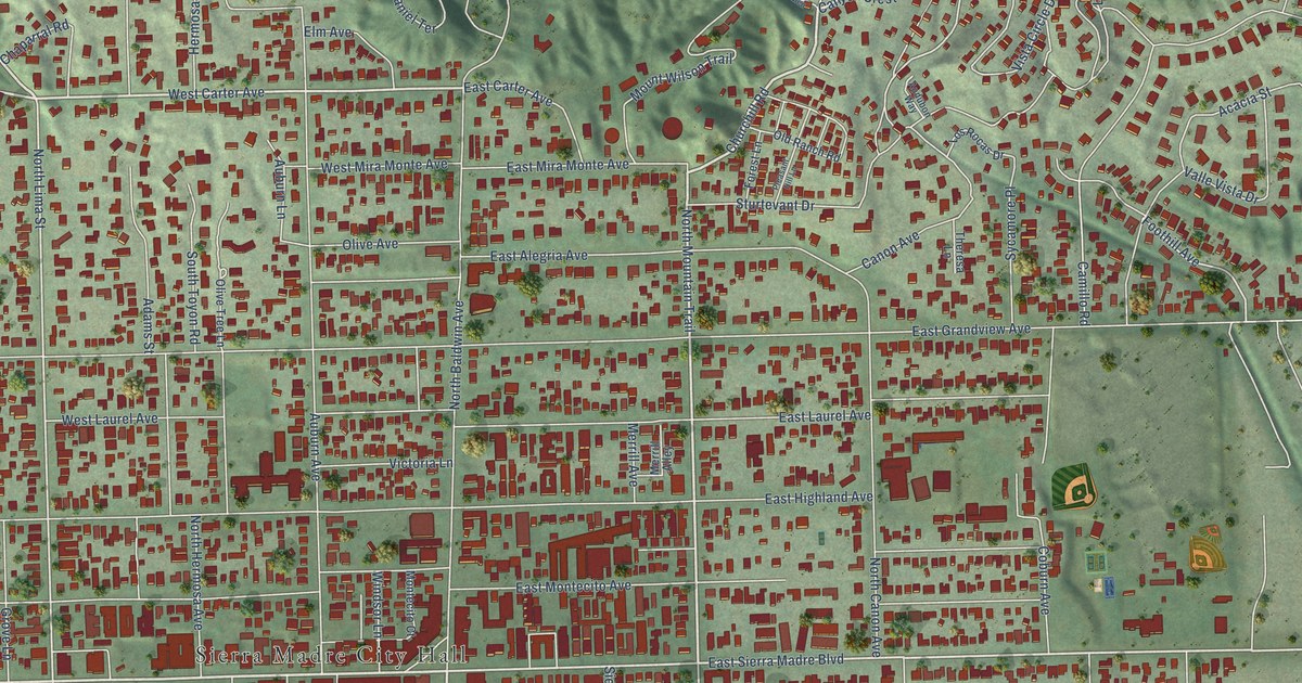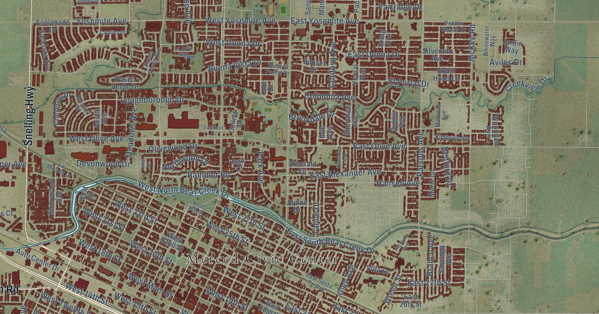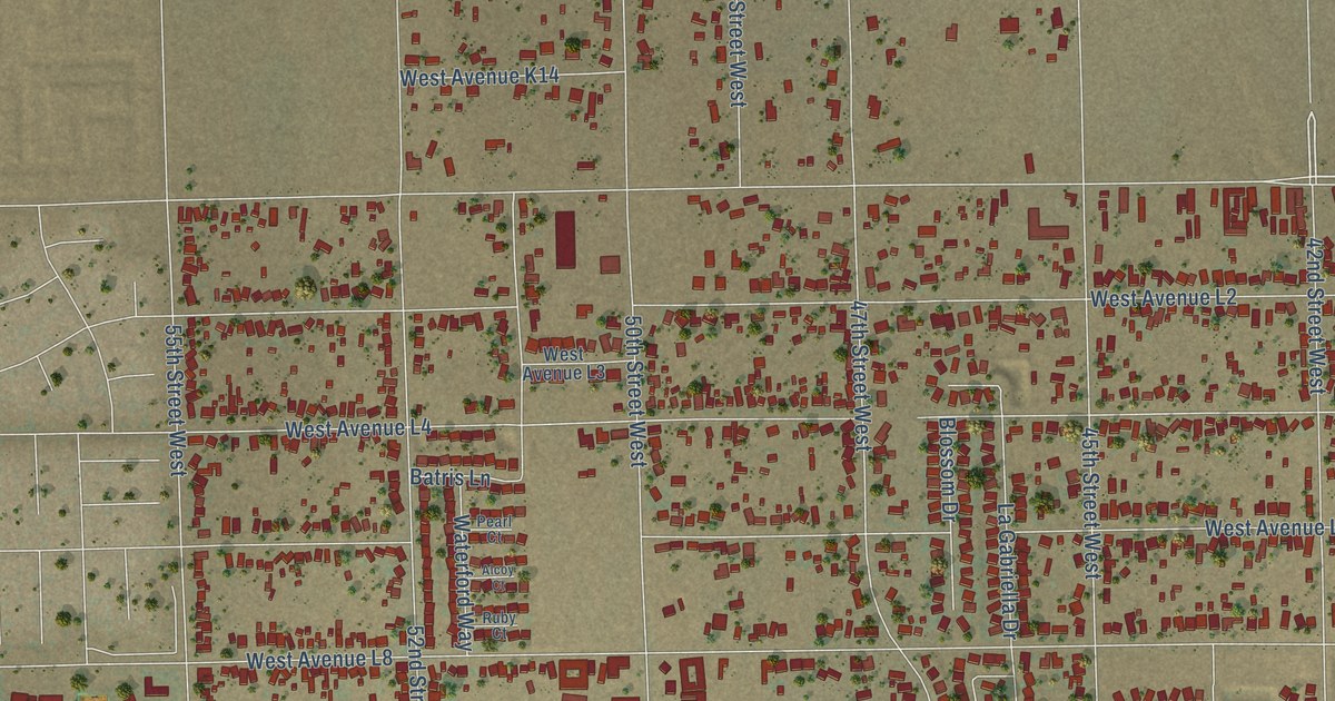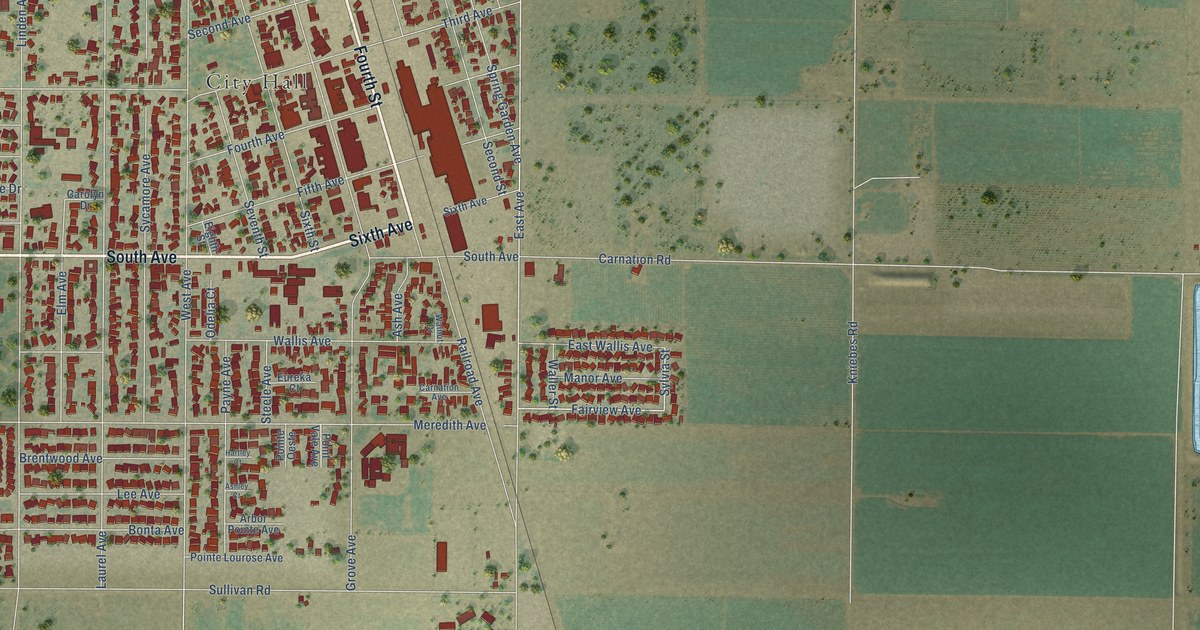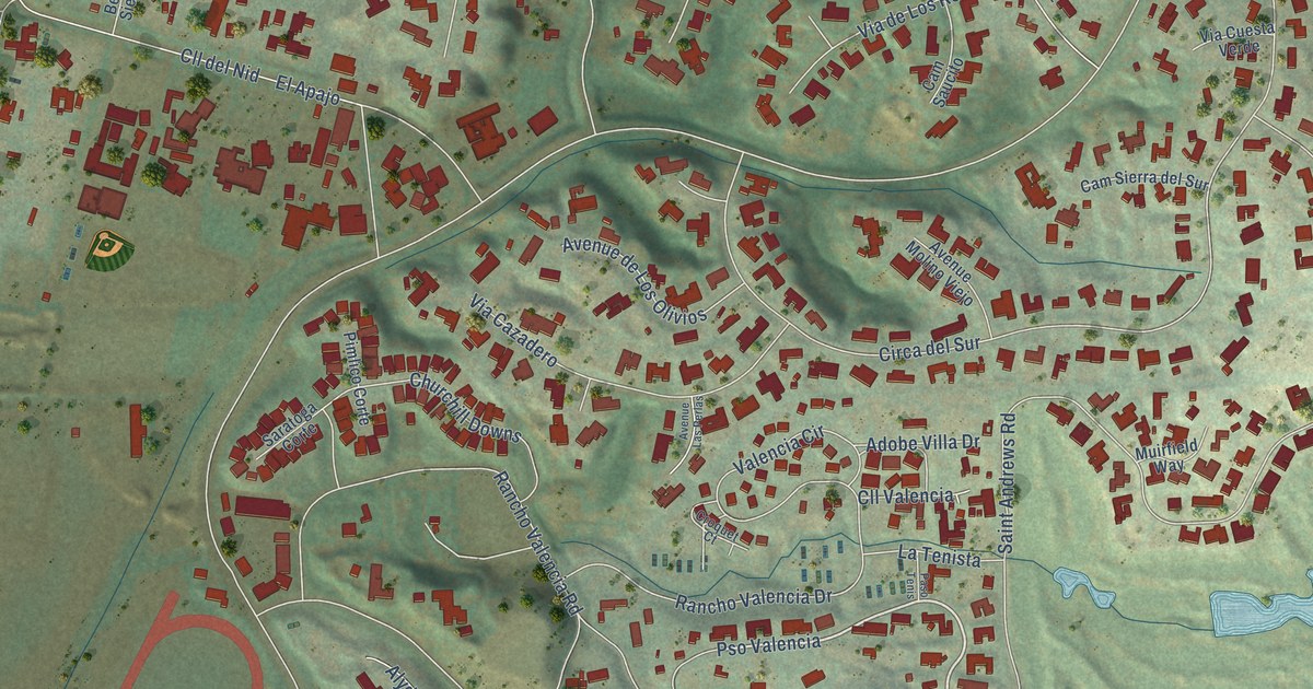
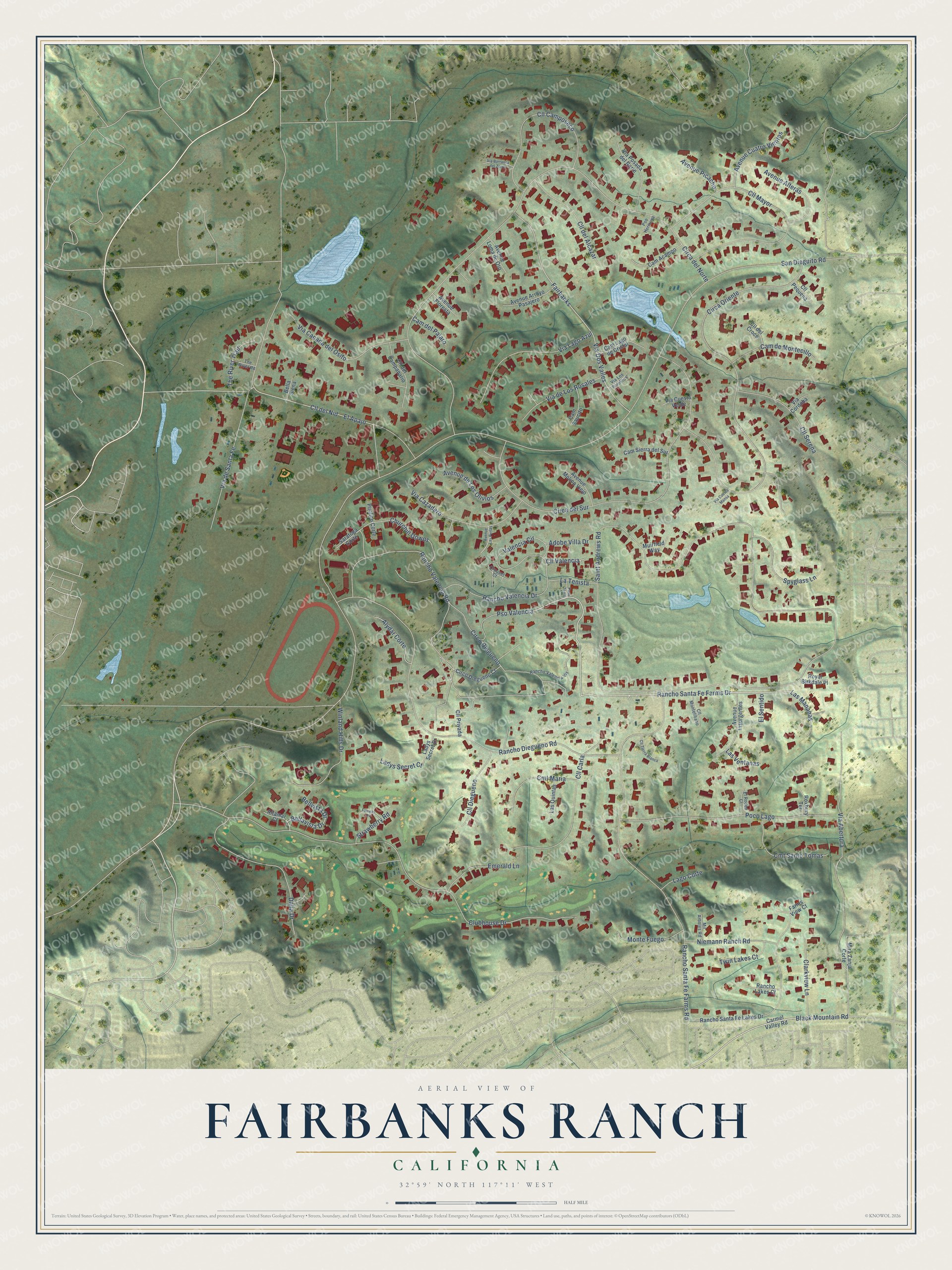
This beautifully detailed map of Fairbanks Ranch, California was created in 2026 using aerial imagery combined with modern topographical, census, street and landmark data. It's a modern aerial view of Fairbanks Ranch in San Diego County, California, that combines modern data with a vintage aesthetic. The roads feature printed names, and if you look closely you can find your exact house accurately shown in its correct location.
Explore an aerial view of Fairbanks Ranch, California
On this map you'll find Pso Valencia, Rancho Santa Fe Farms Drive, Black Mountain Road, San Dieguito Road, Saint Andrews Road, Circa del Norte, Circa Oriente, Clubhouse Drive, Rancho Diegueno Road, Rancho Santa Fe Farms Road, Circa del Sur, Circo Diegueno, and more. Each red shape is a building, so zoom in on the preview and look for yours.
Fairbanks Ranch has a story worth telling. All 1,237 acres of Fairbanks Ranch belonged in the 1920s to film stars Douglas Fairbanks and Mary Pickford. Fairbanks planted citrus trees, beans, tomatoes and grain on the hillside, and in 1928 he put in an irrigation system with a small dam and pumphouse. They divorced in 1936, before he ever broke ground on a house, and their property was abandoned. Developer Ray Watt bought the site in 1977. That's from the San Diego Reader.
Fairbanks Ranch is a community in San Diego County. The Census Bureau counted 3,002 people here in 2020. Fairbanks Ranch sits about 2 miles south of Rancho Santa Fe, 4 miles east of Solana Beach and 5 miles northeast of Del Mar. The map prints the town name in its title panel, with the coordinates below it.
Take a closer look at the Fairbanks Ranch map
Names on this map
These names are printed on this map.
Streets and roads: Pso Valencia, Rancho Santa Fe Farms Drive, Black Mountain Road, San Dieguito Road, Saint Andrews Road, Circa del Norte, Circa Oriente, Clubhouse Drive, Rancho Diegueno Road, Rancho Santa Fe Farms Road, Circa del Sur, Circo Diegueno.
More street names, A to Z
Adobe Villa Drive, Altamar Court, Alydar Corte, Avenue Alteras, Avenue Arroyo Pasajero, Avenue Cuatro Vientos, Avenue de Los Olivios, Avenue Floresta, Avenue Insurgentes, Avenue Las Perlas, Avenue Loma de Oro, Avenue Molino Viejo, Avenue Picacho, Bella Siena, Bellavista Drive, Bellvista Drive, Cam Acampo, Cam del Pajaro, Cam de Montecillo, Cam Lago de Cristal, Cam Saucito, Cam Sierra del Sur, Carmel Valley Road, Churchill Downs, Circo Diegueno Court, Clarkview Lane, Cll Camposeco, Cll Carla, Cll del Alcazar, Cll del Campanario, Cll del Croce, Cll del Nid, Cll Diegueno, Cll Mayor, Cll Montelibano, Cll Pequena, Cll Privada, Cll Serena, Cll Tierra Blanca, Cll Valencia, Cmt Maria, Cmt Santo Tomas, Croquet Court, Dalia Drive, El Apajo, El Rodeo Court, El Sentido, Emerald Lane, Fairbanks, Fairway Place, Farms View Court, Ladys Secret Court, Ladys Secret Drive, Lago Corte, Las Mananas, Las Quintas, Las Ventanas, La Tenista, Mil Arboles Road, Mira Zanja Corte, Monte Fuego, Muirfield Way, Niemann Ranch Road, Paso Tenis, Pimlico Corte, Poco Lago, Pso Hermosa, Rancho Lakes Court, Rancho Santa Fe Lakes Drive, Rancho Valencia Drive, Rancho Valencia Road, Rancho Valencia Vis, Roxbury Terrace, Royal Birkdale Place, Saratoga Corte, Spyglass Lane, Strawberry Road, The River Road, The River Trail, Twin Lakes Court, Valencia Circle, Via Abertura, Via Barranca del Zorro, Via Canada del Osito, Via Cazadero, Via Cordoba, Via Cuesta Mansa, Via Cuesta Verde, Via de Los Rosales, Via de Santa Fe, Via Dos Valles, Via Lago Azul, Via Los Farolitos, Via Posada del Norte, Winland Hills Drive.
See it on a wall
The Fairbanks Ranch map as a framed print. Swipe for more.


Created by KNOWOL in 2026. The buildings are small red shapes, the roads carry their printed names, and shaded relief shows the shape of the land. The title panel reads "AERIAL VIEW OF FAIRBANKS RANCH, CALIFORNIA" with 32°59' NORTH 117°11' WEST.
It looks right in a kitchen, an office or a den, and it's a gift for anyone who grew up in Fairbanks Ranch or moved away. Open the preview and find your street. See sizes and frames for the Fairbanks Ranch map.