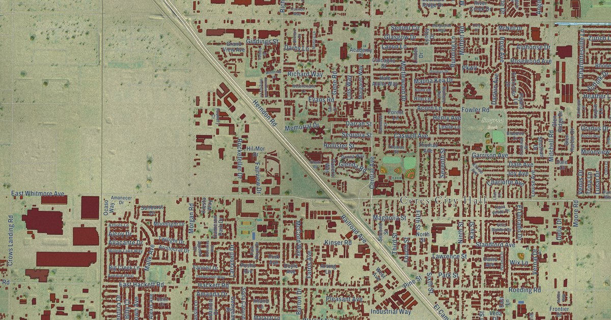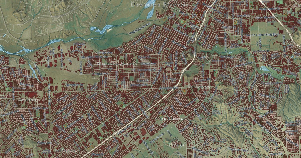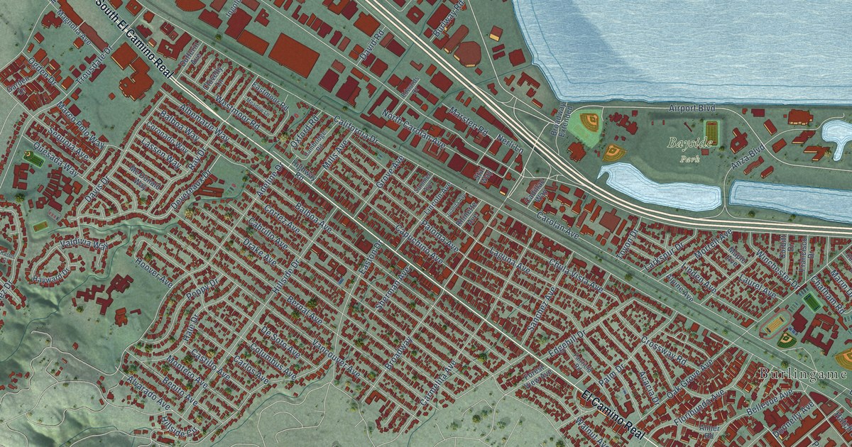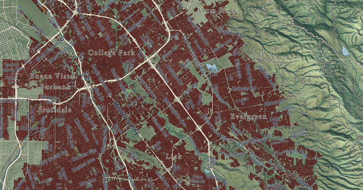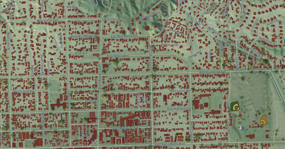
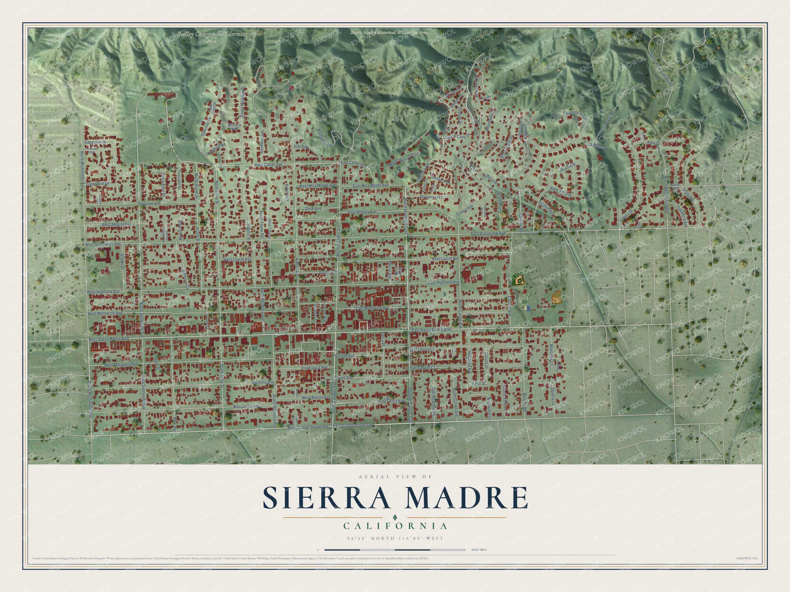
This beautifully detailed map of Sierra Madre, California was created in 2026 using aerial imagery combined with modern topographical, census, street and landmark data. It's a modern aerial view of Sierra Madre in Los Angeles County, California, that combines modern data with a vintage aesthetic. The roads feature printed names, and if you look closely you can find your exact house accurately shown in its correct location.
Explore an aerial view of Sierra Madre, California
On this map you'll find Sierra Madre City Hall, Bailey Canyon Wilderness Park, Sierra Madre Historical Wilderness Area, West Carter Avenue, Canyon Crest Drive, Churchill Road, Skyland Drive, Orange Drive, East Orange Grove Avenue, South Baldwin Avenue, West Sierra Madre Boulevard, North Mountain Trail, and more. Each red shape is a building, so zoom in on the preview and look for yours.
Every town has a first chapter, and Sierra Madre is no exception. The National Register of Historic Places puts it this way: "CONTEXT
Before the community of Sierra Madre existed, the area was visited by Indian
and Mexican workers employed by Southern California pioneer and landowner
Benjamin D."
Sierra Madre is a city in Los Angeles County. The Census Bureau counted 11,268 people here in 2020.
Take a closer look at the Sierra Madre map
Names on this map
These names are printed on this map.
Places: Sierra Madre City Hall, Bailey Canyon Wilderness Park and Sierra Madre Historical Wilderness Area.
Streets and roads: West Carter Avenue, Canyon Crest Drive, Churchill Road, Skyland Drive, Orange Drive, East Orange Grove Avenue, South Baldwin Avenue, West Sierra Madre Boulevard, North Mountain Trail, West Orange Grove Avenue, South Michillinda Avenue, East Sierra Madre Boulevard.
More street names, A to Z
Acacia Street, Adams Street, Alta Vista Drive, Arno Drive, Auburn Avenue, Auburn Lane, Audubon Way, Brookside Lane, Camillo Road, Camillo Street, Canon Avenue, Canon Place, Chaparral Road, Coburn Avenue, Colony Drive, Crestvale Drive, East Alegria Avenue, East Bonita Avenue, East Carter Avenue, East Grandview Avenue, East Highland Avenue, East Laurel Avenue, East Mira Monte Avenue, East Montecito Avenue, Edgeview Drive, Elkins Avenue, Elm Avenue, Esperanza Avenue, Fairview Avenue, Fairview Terrace, Fane Street, Fern Drive, Fern Glen, Foothill Avenue, Forest Lane, Gatewood Lane, Grove Alley, Grove Lane, Grove Street, Hermosa Avenue, Holdman Avenue, Idlehour Lane, Jameson Court, Kaia Lane, Liliano Drive, Liliano Place, Los Rocas Drive, Lotus Lane, Lowell Avenue, Manzanita Avenue, Merrill Alley, Merrill Avenue, Michillinda Way, Montecito Court, Monterey Lane, Monterey Place, Monte Vista Lane, Mount Wilson Trail, Nathaniel Terrace, North Baldwin Avenue, North Canon Avenue, North Grove Street, North Hermosa Avenue, North Lima Street, North Michillinda Avenue, North Santa Anita Avenue, North Sunnyside Avenue, Oakcrest Drive, Oak Crest Drive, Oak Meadow Road, Oakwood Avenue, Old Oak Lane, Old Ranch Road, Olive Avenue, Olivera Lane, Olive Tree Lane, Park Avenue, Pleasant Hill Lane, Ramona Avenue, Rancho Road, Ross Place, San Gabriel Court, Santa Anita Canyon Road, Santa Anita Court, Sierra Keys Drive, Sierra Meadow Drive, Sierra Place, Sierra Woods Drive, South Canon Avenue, South Hermosa Avenue, South Lima Street, South Mountain Trail, South Sunnyside Avenue, South Toyon Road, Stone House Road, Sturtevant Drive, Suffolk Avenue, Sunnyside Lane, Sunrise Hill Street, Sycamore Place, Theresa Lane, Valle Vista Drive, Victoria Lane, Vista Avenue, Vista Circle Drive, Webster Way, West Alegria Avenue, West Bonita Avenue, West Grandview Avenue, West Highland Avenue, West Laurel Avenue, West Mariposa Avenue, West Mira Monte Avenue, West Montecito Avenue, Wilson Street, Windsor Lane, Windwood Lane, Wistaria Way, Woodland Drive.
Created by KNOWOL in 2026. The buildings are small red shapes, the roads carry their printed names, and shaded relief shows the shape of the land. The title panel reads "AERIAL VIEW OF SIERRA MADRE CALIFORNIA" with 34°10' NORTH 118°03' WEST.
Hang it in the hallway, the office or the cabin, or give it to someone who left Sierra Madre and still calls it home. Open the preview and look for a street you know. See sizes and frames for the Sierra Madre map.