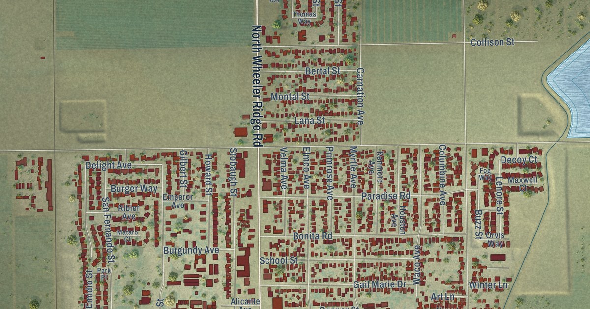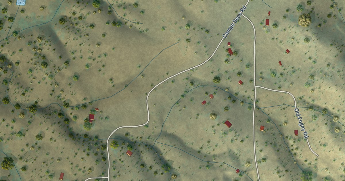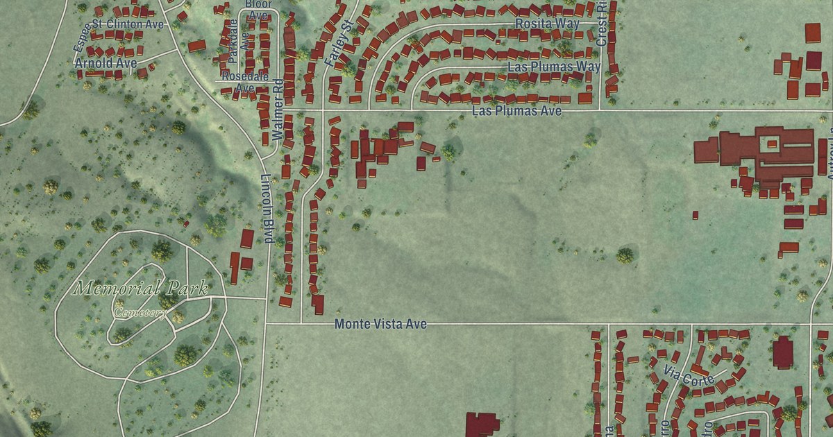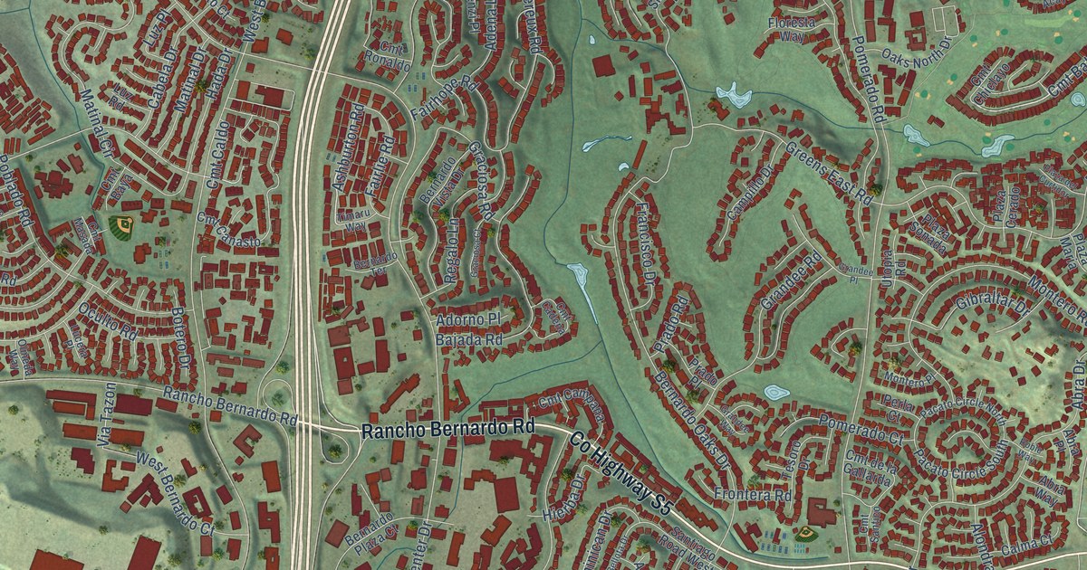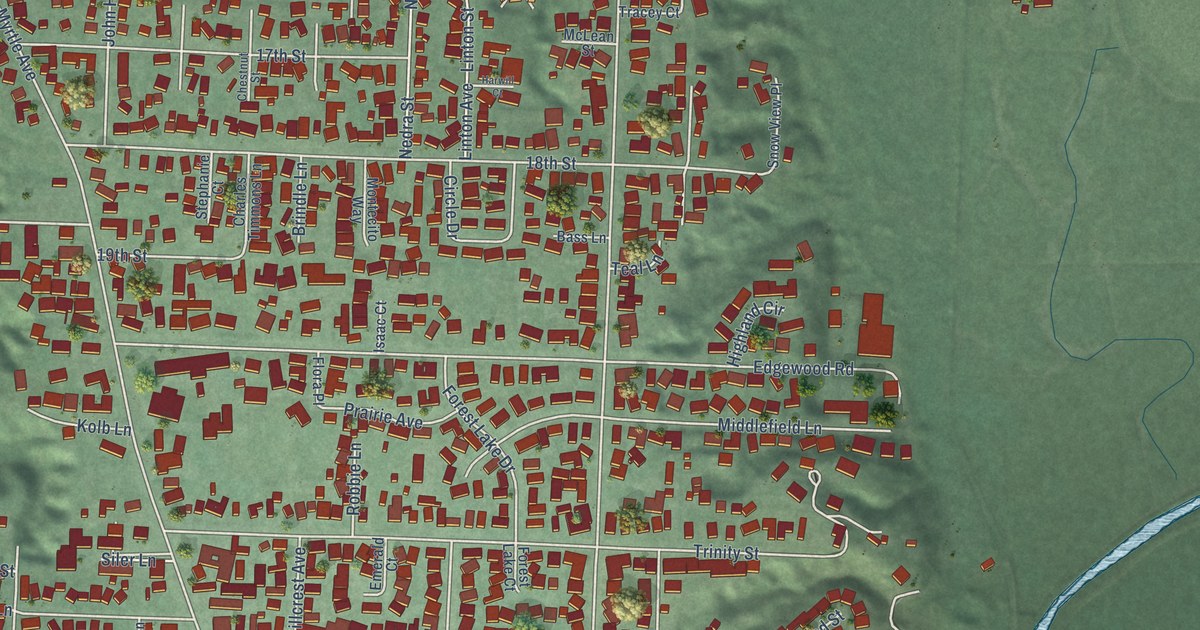
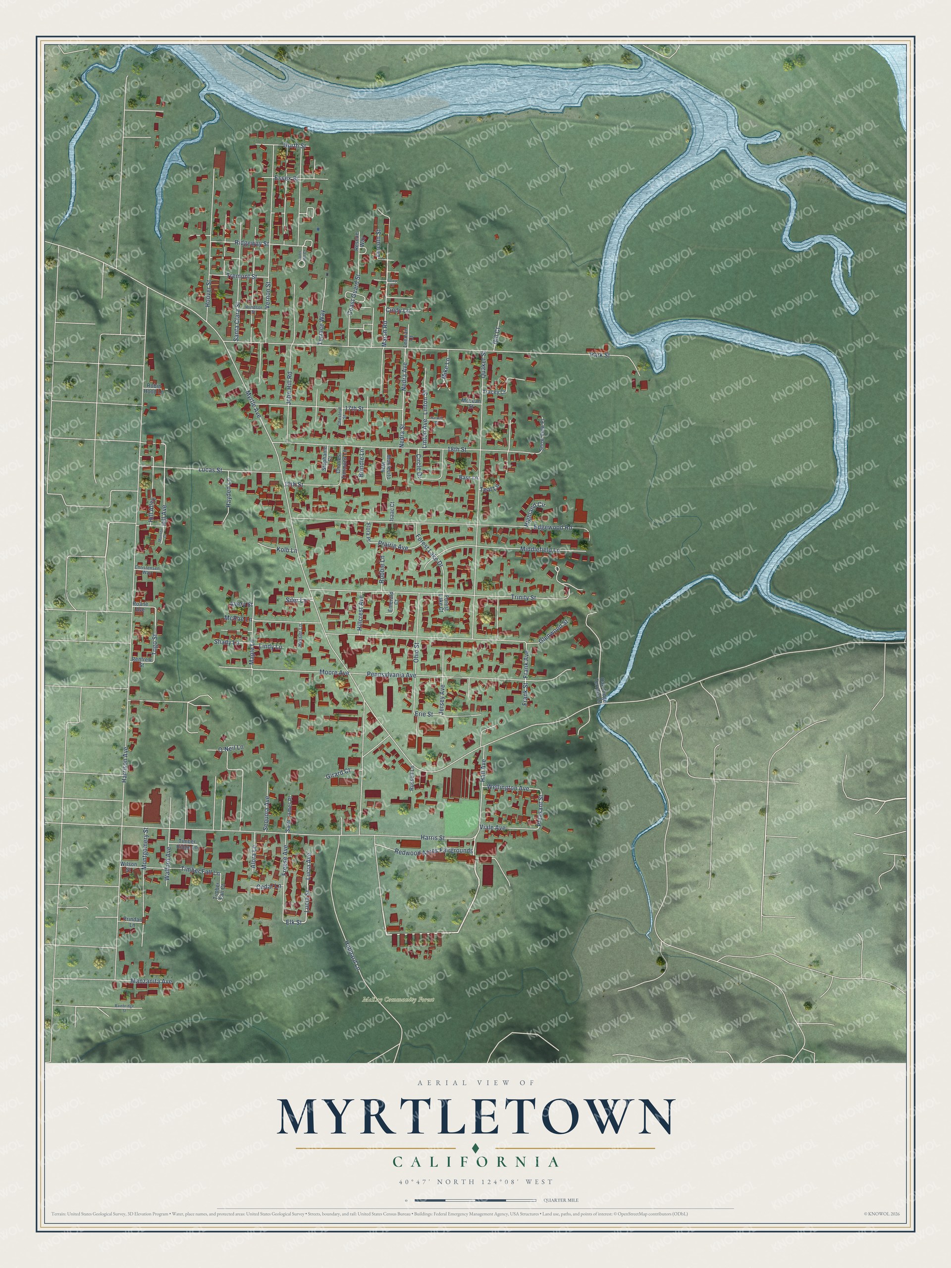
This beautifully detailed map of Myrtletown, California was created in 2026 using aerial imagery combined with modern topographical, census, street and landmark data. It's a modern aerial view of Myrtletown in Humboldt County, California, that combines modern data with a vintage aesthetic. The roads feature printed names, and if you look closely you can find your exact house accurately shown in its correct location.
Explore an aerial view of Myrtletown, California
On this map you'll find McKay Community Forest, Redwood Acres Fairgrounds, Pleasant Street, Marsh Road, Elk Street, Togo Street, Timber Fall Lane, Hill Avenue, Myrtle Avenue, Harrison Avenue, Park Street, Hubbard Lane, and more. Each red shape is a building, so zoom in on the preview and look for yours.
Myrtletown is a community in Humboldt County. The Census Bureau counted 4,882 people here in 2020. Myrtletown sits about 2 miles northeast of Cutten, 3 miles northeast of Bayview and 3 miles southwest of Indianola. The map prints the town name in its title panel, with the coordinates below it.
Take a closer look at the Myrtletown map
Names on this map
These names are printed on this map.
Places: McKay Community Forest.
Streets and roads: Redwood Acres Fairgrounds, Pleasant Street, Marsh Road, Elk Street, Togo Street, Timber Fall Lane, Hill Avenue, Myrtle Avenue, Harrison Avenue, Park Street, Hubbard Lane, Harris Street.
More street names, A to Z
17th Street, 18th Street, 19th Street, Alora Lane, Avery Street, Bainbridge Street, Bass Lane, Brindle Lane, Cedar Lane, Charles Timmons Lane, Chestnut Street, Christensen Way, Cindy Lane, Circle Drive, Coast Guard Street, Edgewood Road, Emerald Court, Erie Street, Essex Street, Flora Place, Forest Lake Court, Forest Lake Drive, Forey Lane, Frank Avenue, Frank Street, Freese Avenue, Gill Court, Girard Court, Glenwood Street, Hall Avenue, Harwill Court, Hayden Lane, Heiser Lane, Highland Circle, Hill Alley, Hillcrest Avenue, Hoover Street, Isaac Court, Jersey Avenue, John Hill Court, John Hill Road, Kolb Lane, Leeman Court, Lincoln Street, Lindy Lane, Linton Avenue, Linton Street, Lucas Street, Lucia Avenue, Lucia Street, Manzanita Avenue, Maple Lane, McLean Street, McRae Lane, Middlefield Lane, Mike Lane, Montecito Way, Montgomery Street, Moore Avenue, Munson Court, Nedra Avenue, Nedra Street, North Street, O'Neil Lane, Oak Ridge Terrace Lane, Ohio Street, Pennsylvania Avenue, Prairie Avenue, Prindan Lane, Quaker Street, Renfrew Street, Rescue Way, Ridgeway Street, Roane Avenue, Robbie Lane, Robin Hood Lane, Russell Lane, Saint James Place, Santa Clara Street, Sequoia Avenue, Shady Lane, Siler Lane, Snow View Place, Stephanie Court, Teal Lane, Terrace Way, Timber Fall Court, Timber Ridge Lane, Tracey Court, Tremont Street, Trinity Street, Vernon Street, Viale Avenue, Walford Avenue, Wellington Avenue, Wilson Street, Windsor Street.
See it on a wall
The Myrtletown map as a framed print. Swipe for more.


Created by KNOWOL in 2026. The buildings are small red shapes, the roads carry their printed names, and shaded relief shows the shape of the land. The title panel reads "AERIAL VIEW OF MYRTLETOWN, CALIFORNIA" with 40°47' NORTH 124°08' WEST.
It looks right in a kitchen, an office or a den, and it's a gift for anyone who grew up in Myrtletown or moved away. Open the preview and find your street. See sizes and frames for the Myrtletown map.