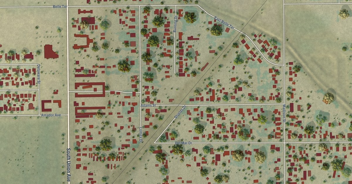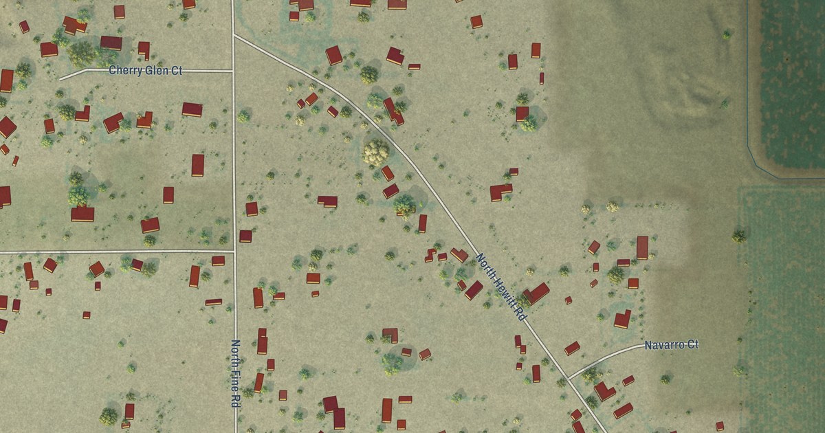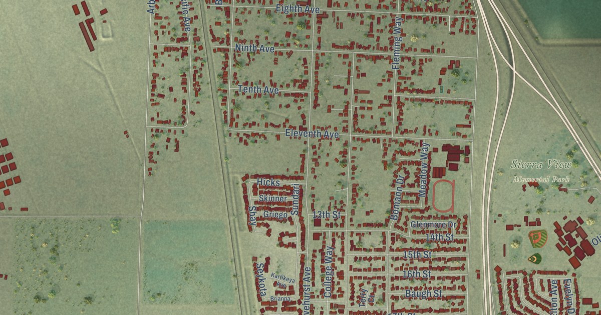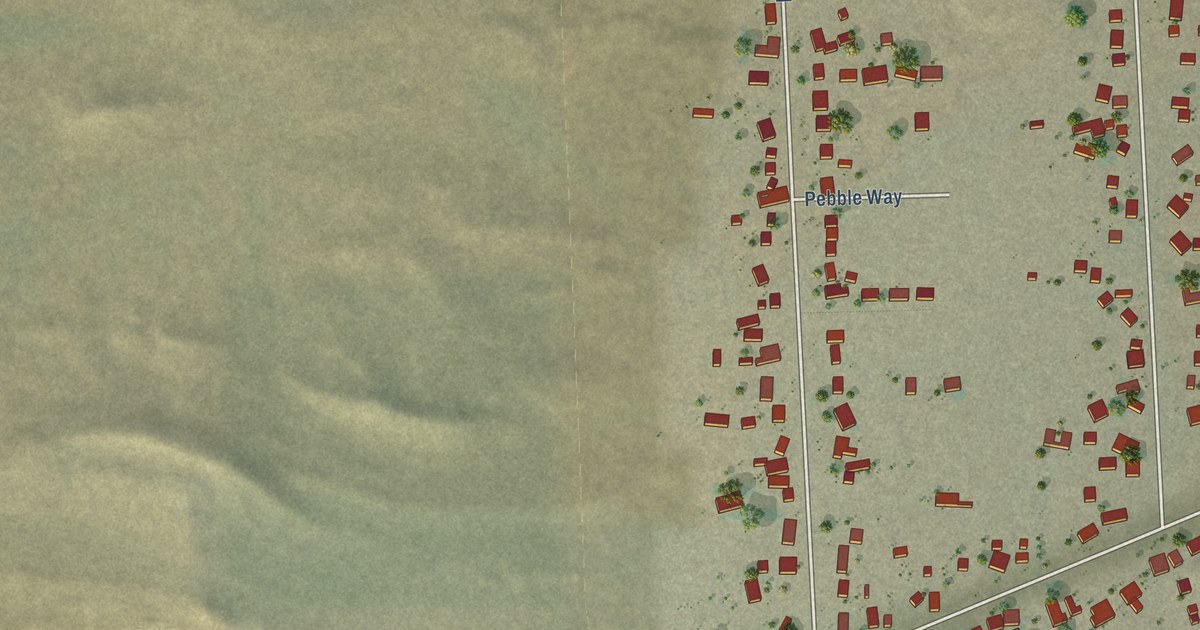
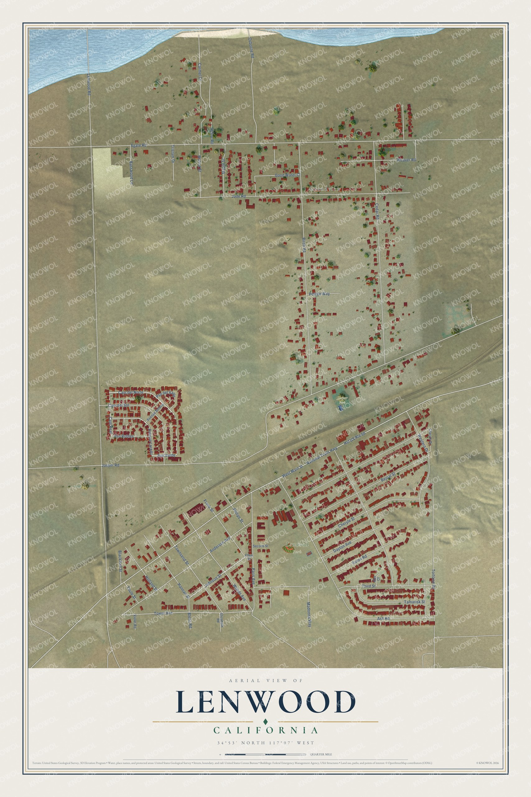
This beautifully detailed map of Lenwood, California was created in 2026 using aerial imagery combined with modern topographical, census, street and landmark data. It's a modern aerial view of Lenwood in San Bernardino County, California, that combines modern data with a vintage aesthetic. The roads feature printed names, and if you look closely you can find your exact house accurately shown in its correct location.
Explore an aerial view of Lenwood, California
On this map you'll find Grandview, Lenwood Park, Jasper Park, Cam del Norte, Cam Real, Pso Verde, Avenue Laredo, Pso Robles, Johnson Street, Tower Avenue, Lenwood Road, Agate Road, and more. Each red shape is a building, so zoom in on the preview and look for yours.
Lenwood is a community in San Bernardino County. The Census Bureau counted 3,623 people here in 2020. Lenwood sits about 4 miles west of Barstow, 16 miles west of Yermo and 17 miles northeast of Silver Lakes. The map prints the town name in its title panel, with the coordinates below it.
Take a closer look at the Lenwood map
Names on this map
These names are printed on this map.
Places: Grandview, Lenwood Park and Jasper Park.
Streets and roads: Cam del Norte, Cam Real, Pso Verde, Avenue Laredo, Pso Robles, Johnson Street, Tower Avenue, Lenwood Road, Agate Road, Birch Road, Hst US Route 66, National Trails Highway.
More street names, A to Z
Anderson Avenue, Ash Road, Avenue Serena, Basswood Lane, Bejoal Street, Blackford Street, Bleitz Road, Cam del Sol, Carmel Court, Cedar Road, Cheryle Drive, Cheryle Street, Dayton Avenue, Eaton Road, Elizabeth Road, Ellen Street, Elm Court, Frank Street, Good Water Court, Hannan Street, Hiline Road, Holland Street, Jade Road, Jasper Road, Madonna Way, Maple Street, Osborne Road, Paris Avenue, Pebble Way, Philips Street, Pso del Valle, Second Street, Tamarisk Street, Third Street, Thule Street, Tortoise Road, Townsend Street, Tristam Drive, Violet Road, Walnut Street, Weaver Road, Western Drive, West Main Street, Woods Avenue.
See it on a wall
The Lenwood map as a framed print. Swipe for more.


Created by KNOWOL in 2026. The buildings are small red shapes, the roads carry their printed names, and shaded relief shows the shape of the land. The title panel reads "AERIAL VIEW OF LENWOOD, CALIFORNIA" with 34°53' NORTH 117°07' WEST.
Hang it in the hallway, the office or the cabin, or give it to someone who left Lenwood and still calls it home. Open the preview and look for a street you know. See sizes and frames for the Lenwood map.