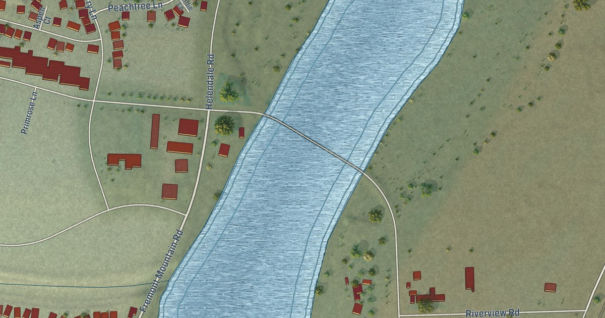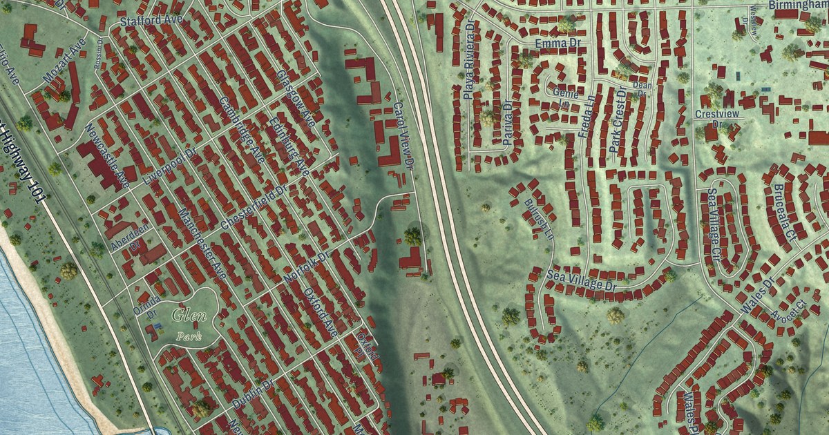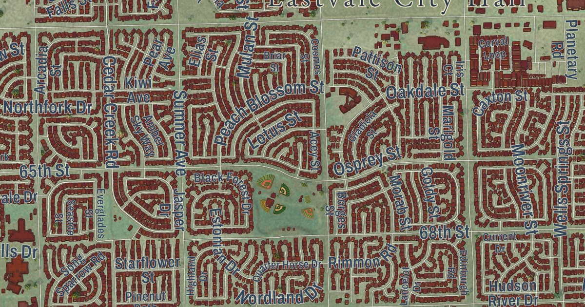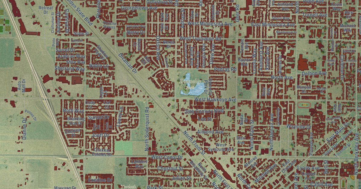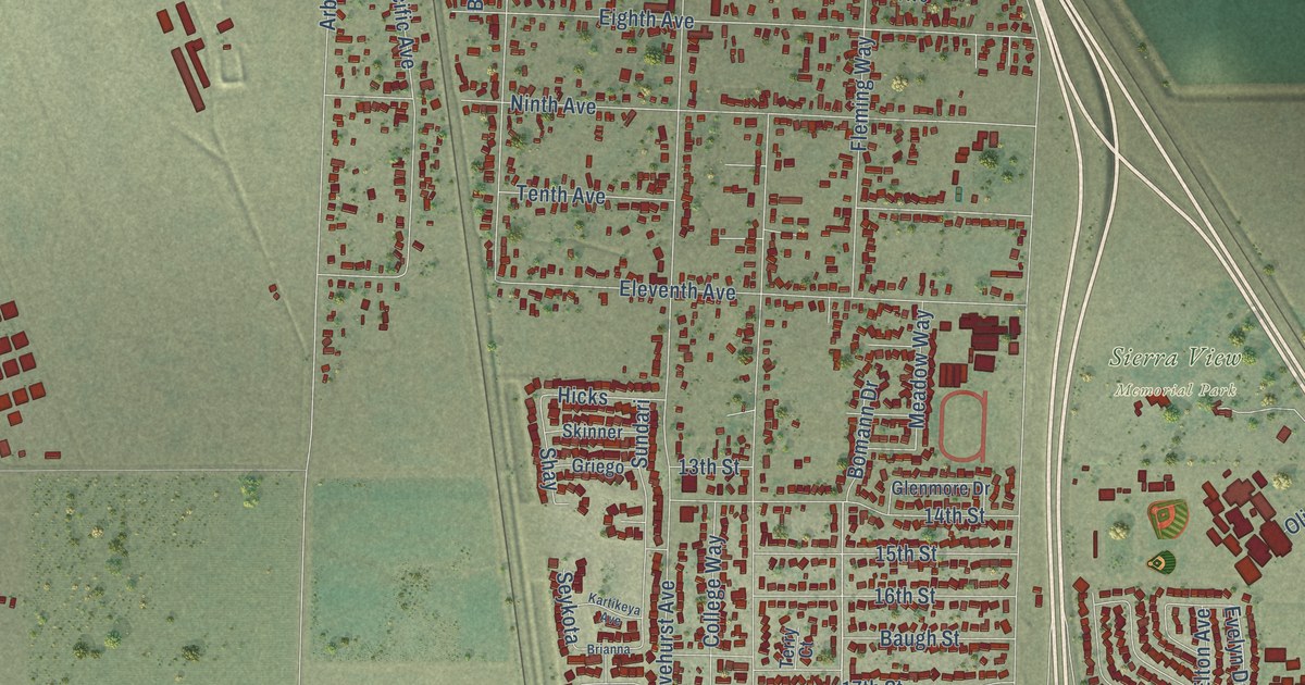
This beautifully detailed map of Olivehurst, California was created in 2026 using aerial imagery combined with modern topographical, census, street and landmark data. It’s a one-of-a-kind view of Olivehurst that combines accurate data with a vintage aesthetic. The map shows every building in its true location, many of the roads carry their names, and the shaded topographic relief shows the shape of the land.
Explore an aerial view of Olivehurst, California
On the map you’ll find Pearson, East Arboga, Sierra View Memorial Park, Bamboo, Yarrow, Buckskin, Citation, Deerwood, and Lady Fern, along with McGowan Parkway, Meadow Ranch Street, Fleming Way, and more. If you look closely you can even find your house accurately drawn in its correct location. Zoom in on the preview to look for yours.
Did you know this piece of Olivehurst, California history?
From the Yuba-Sutter LocalWiki: "Olivehurst was formerly called Denniston, according to a 1917 map from the California State Mining Bureau."
Take a closer look at the Olivehurst map
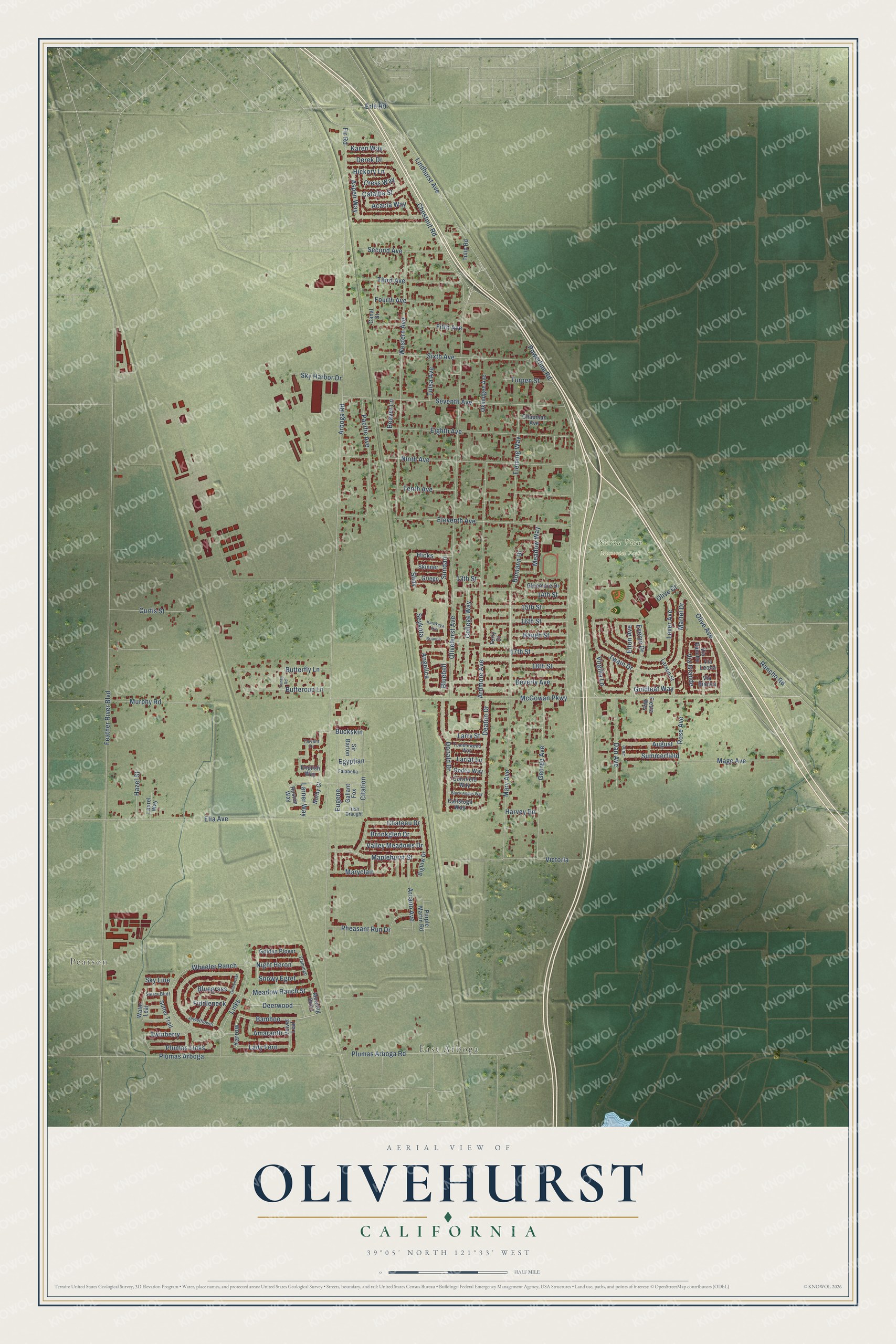
Street and place names on the Olivehurst, California map
These names are printed on the map of Olivehurst, California.
Places: Pearson, East Arboga and Sierra View Memorial Park.
Streets and roads: McGowan Parkway, Meadow Ranch Street, Bamboo, Yarrow, Buckskin, Citation, Deerwood, Lady Fern, Fleming Way, Eugene, Fir Road, Feather River Boulevard.
More street names, A to Z
13th Street, 14th Street, 15th Street, 16th Street, 17th Street, 18th Street, Acacia Way, Amaranth, Angelica, Arboga Road, Arcano Avenue, Ardmore Avenue, Aspen Way, August, Baugh Street, Beaver Lane, Beverly Avenue, Biglow Drive, Black Angus Way, Bluebell, Bluegrass, Bomann Drive, Brianna, Brookglen Drive, Buttercup Lane, Butterfly Lane, Calistoga Way, Canal Street, Catalpa Street, Chapman Avenue, Chateau Drive, Chestnut Road, College Way, Cornfield Way, Cress Way, Curtis Street, Dan Avenue, Deaton Drive, Derek Drive, Donald Drive, Egyptian, Eighth Avenue, Eleventh Avenue, Ella Avenue, Elton Avenue, English Way, Erle Road, Evelyn Drive, Falabella, Fiddleneck, Fiesta Way, Fifth Avenue, Flamingo, Fourth Avenue, Gallant Fox, George Avenue, Glenmore Drive, Golden Plover, Goldenstar, Goldleaf Way, Griego, Harvey Road, Hazel Street, Hickory Lane, Hicks, Huston Way, Irish Draught, Jewelflower, June, Karen Way, Kartikeya Avenue, Lariat Lane, Larner Way, Larry Street, Larson Street, Laurel Way, Lever Avenue, Lindhurst Avenue, Links, Mage Avenue, Maplehurst Street, Martel Drive, Mary Avenue, Maryclair, Meadow Way, Morning Glory, Murphy Road, Night Heron, Ninth Avenue, Norby Court, Okmulgee Avenue, Olive Avenue, Olive Court, Olivehurst Avenue, Pacific Avenue, Pheasant Run Drive, Plumas Arboga, Plumas Arboga Road, Plumas Links, Powerline Road, Purple Martin Road, Rancho Road, Rodeo Way, Rose Avenue, Second Avenue, Seventh Avenue, Seykota, Shay, Sierra Bluff, Sir Barton, Sixth Avenue, Skinner, Sky Harbor Drive, Sky Line, Snowy Egret, Summerfield, Sundari, Sunny Road, Sutter Trail, Tarrant Drive, Tenth Avenue, Terry Court, Third Avenue, Tulip Road, Tulsa Avenue, Tumbleweed Way, Turpen Street, Twain Drive, Twinberry, Valley Meadows Drive, Velvet Leaf, Via Bianca, Via Grande, Via Leona, Via Rancho, Victoria, Virgilia Lane, Water Leaf, Western Avenue, Wheeler Ranch.
See the Olivehurst, California map on a wall
The Olivehurst map as an 18 x 24 inch print in a black frame.

This beautifully detailed map of Olivehurst makes an attractive addition to your office, library, or den, and it can even be used to teach children the geography and history of the area. It also makes a great gift for anyone with Olivehurst roots. When you’re done exploring, click here to get your copy of the Olivehurst map.