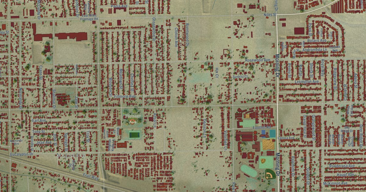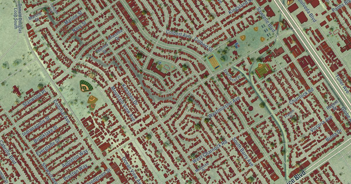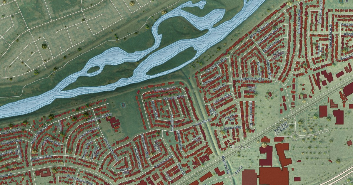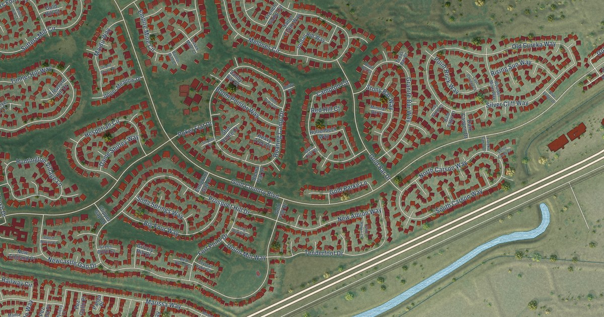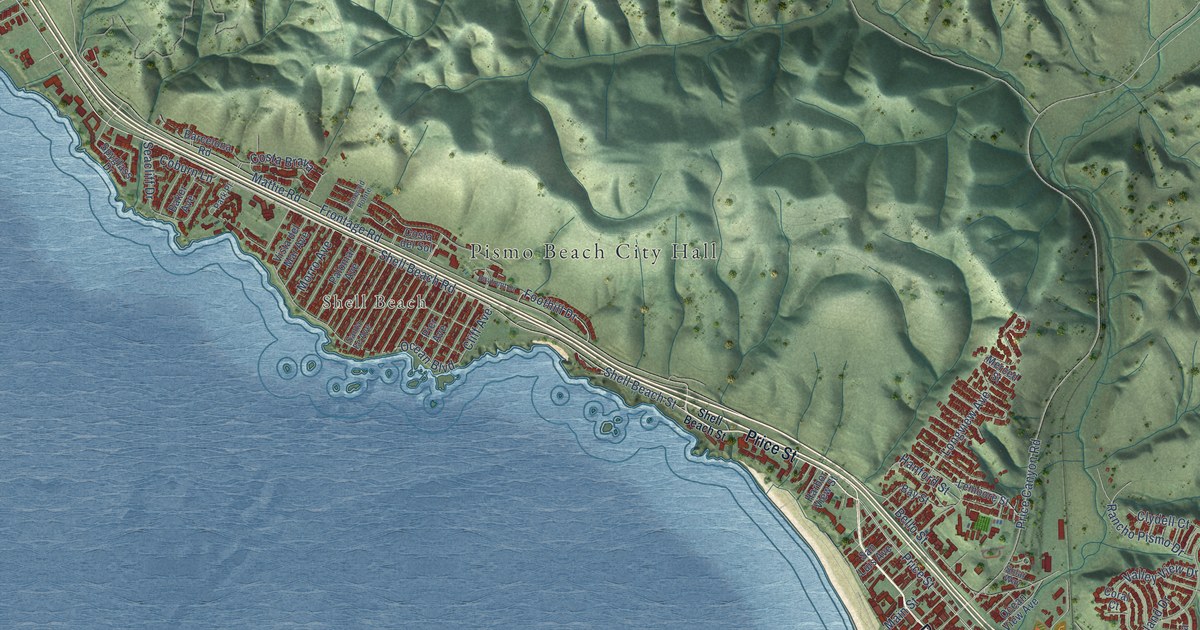
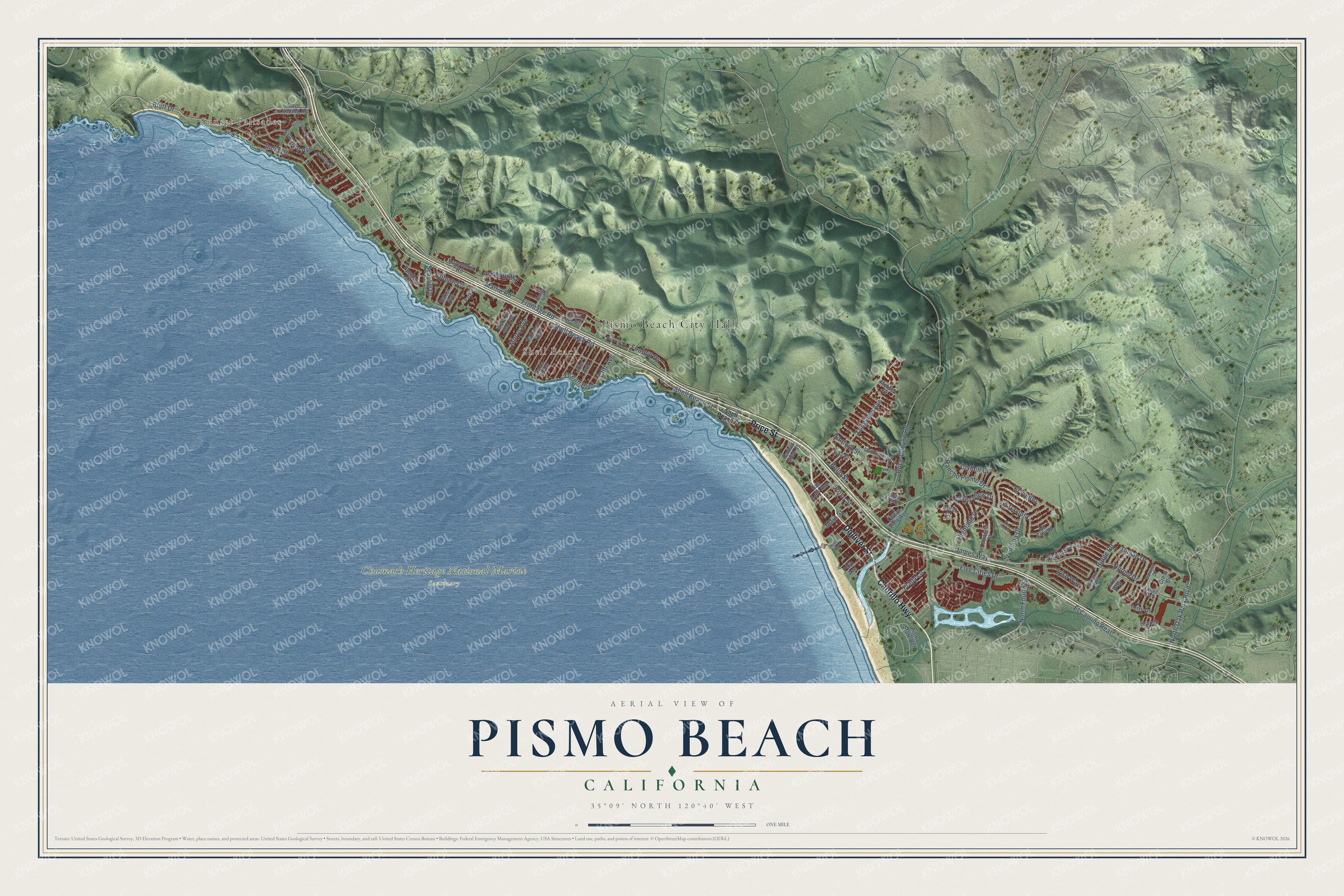
This beautifully detailed map of Pismo Beach, California was created in 2026 using aerial imagery combined with modern topographical, census, street and landmark data. It's a modern aerial view of Pismo Beach in San Luis Obispo County, California, that combines modern data with a vintage aesthetic. The roads feature printed names, and if you look closely you can find your exact house accurately shown in its correct location.
Explore an aerial view of Pismo Beach, California
On this map you'll find Pismo Beach City Hall, Sunset Palisades, Shell Beach, Chumash Heritage National Marine Sanctuary, Price Street, Dolliver Street, Cabrillo Highway, Shell Beach Road, Shell Beach Street, Bluff Drive, Indio Drive, James Way, and more. Each red shape is a building, so zoom in on the preview and look for yours.
Pismo Beach has a story worth telling. The National Register of Historic Places puts it this way: "Lawrence
Statement of Significance (in one paragraph)
Price Anniversary House is the oldest building in the City of Pismo Beach and
was the final home of its founder, John Michael Price."
Pismo Beach is a city in San Luis Obispo County. The Census Bureau counted 8,072 people here in 2020.
Take a closer look at the Pismo Beach map
Names on this map
These names are printed on this map.
Places: Pismo Beach City Hall, Sunset Palisades, Shell Beach and Chumash Heritage National Marine Sanctuary.
Streets and roads: Price Street, Dolliver Street, Cabrillo Highway, Shell Beach Road, Shell Beach Street, Bluff Drive, Indio Drive, James Way, Five Cities Drive, Mattie Road, El Camino Real, Price Canyon Road.
More street names, A to Z
Baker Avenue, Barcelona Road, Bayfront Drive, Bay Street, Bello Street, Branch Street, Capanna Street, Cave Landing Road, Cliff Avenue, Clydell Court, Coburn Lane, Coral Court, Costa Brava, Costa del Sol, Crest Drive, Dugan Drive, El Dorado Way, El Viento, Emerald Pointe, Encanto Avenue, Erna Way, Florin Street, Foothill Drive, Frady Lane, Frontage Road, Hanford Street, Harbor View Street, Highland Drive, Hinds Avenue, Irish Way, Janet Drive, La Colima, La Garza, La Gaviota, Lemoore Street, Longview Avenue, Main Street, Merced Street, Morro Avenue, Narlene Way, Norma Drive, North Fourth Street, North Oak Park Boulevard, Ocean Boulevard, Ocean View Avenue, Palomar Avenue, Park Avenue, Park Place, Pier Avenue, Pismo State Bch, Rancho Pismo Drive, Ridge Road, San Luis Avenue, Santa Fe Avenue, Seacliff Drive, Shamrock Lane, Solar Way, Spyglass Drive, Summit Drive, Terry Drive, Valley View Drive, Ventana Drive, Vista del Mar Avenue.
Created by KNOWOL in 2026. The buildings are small red shapes, the roads carry their printed names, and shaded relief shows the shape of the land. The title panel reads "AERIAL VIEW OF PISMO BEACH CALIFORNIA" with 35°09' NORTH 120°40' WEST.
It looks right in a kitchen, an office or a den, and it's a gift for anyone who grew up in Pismo Beach or moved away. Open the preview and find your street. See sizes and frames for the Pismo Beach map.