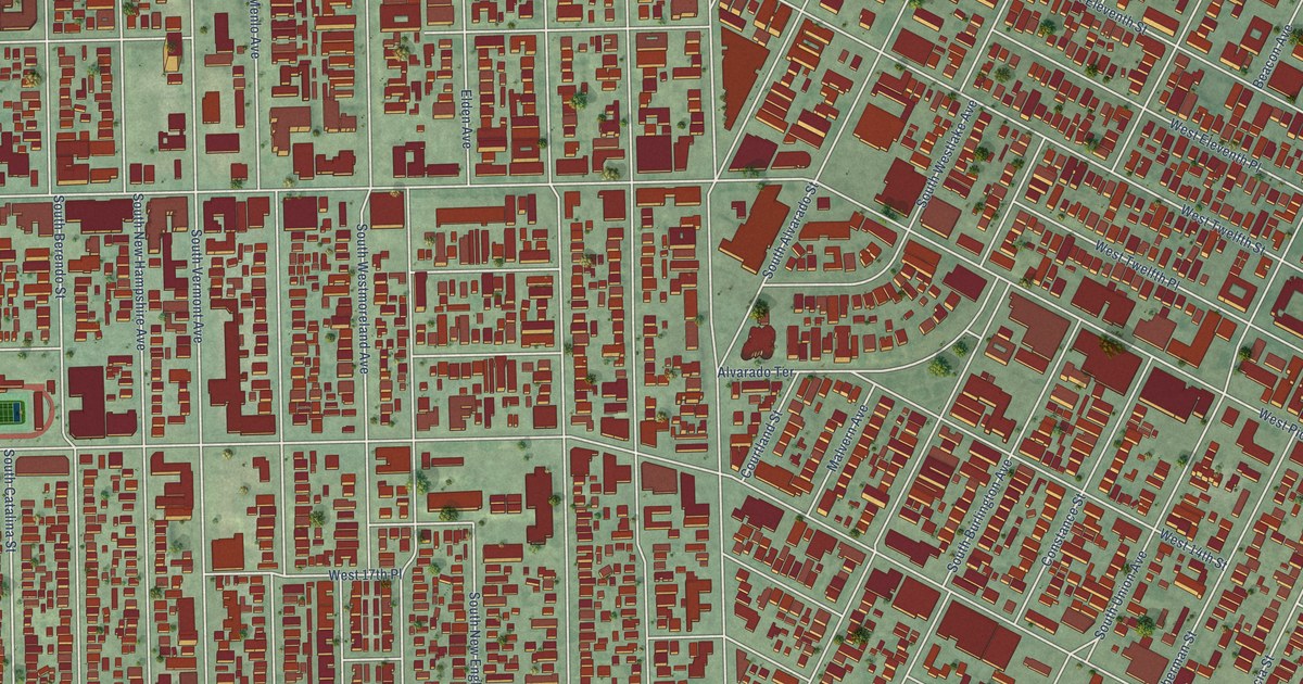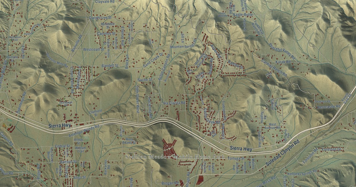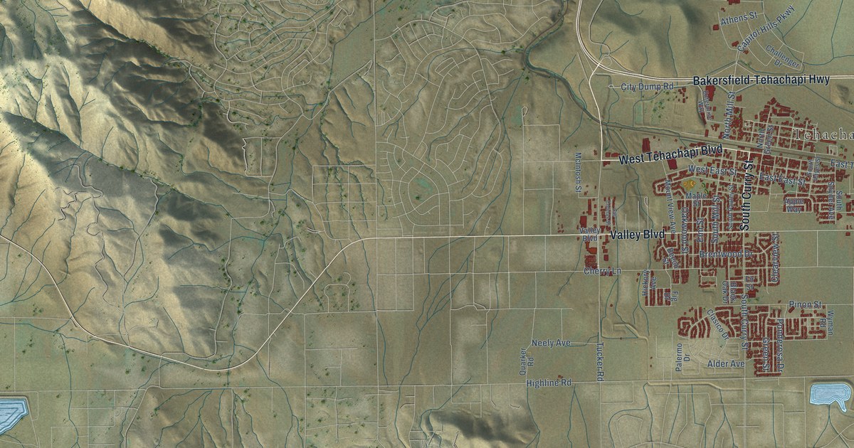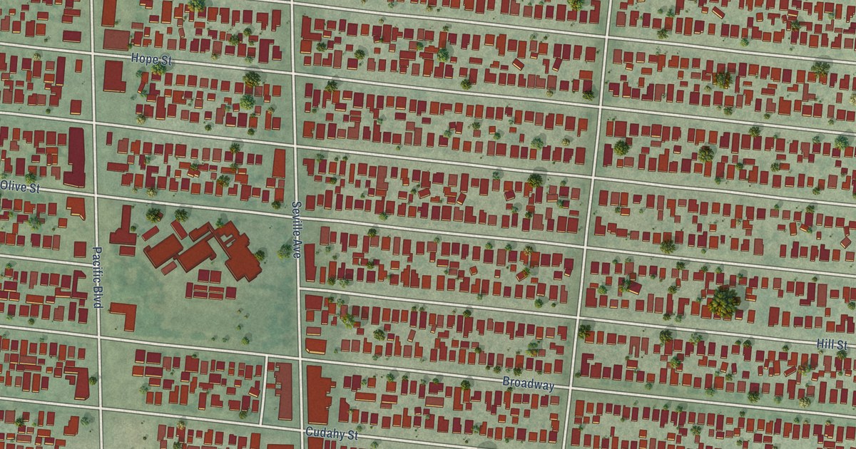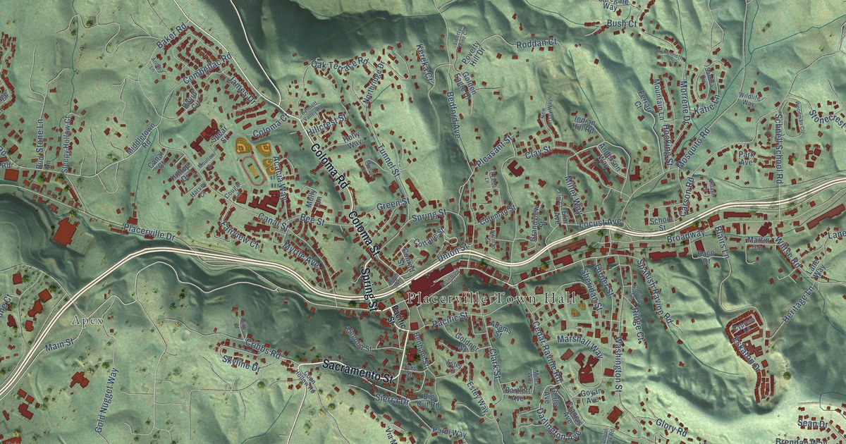
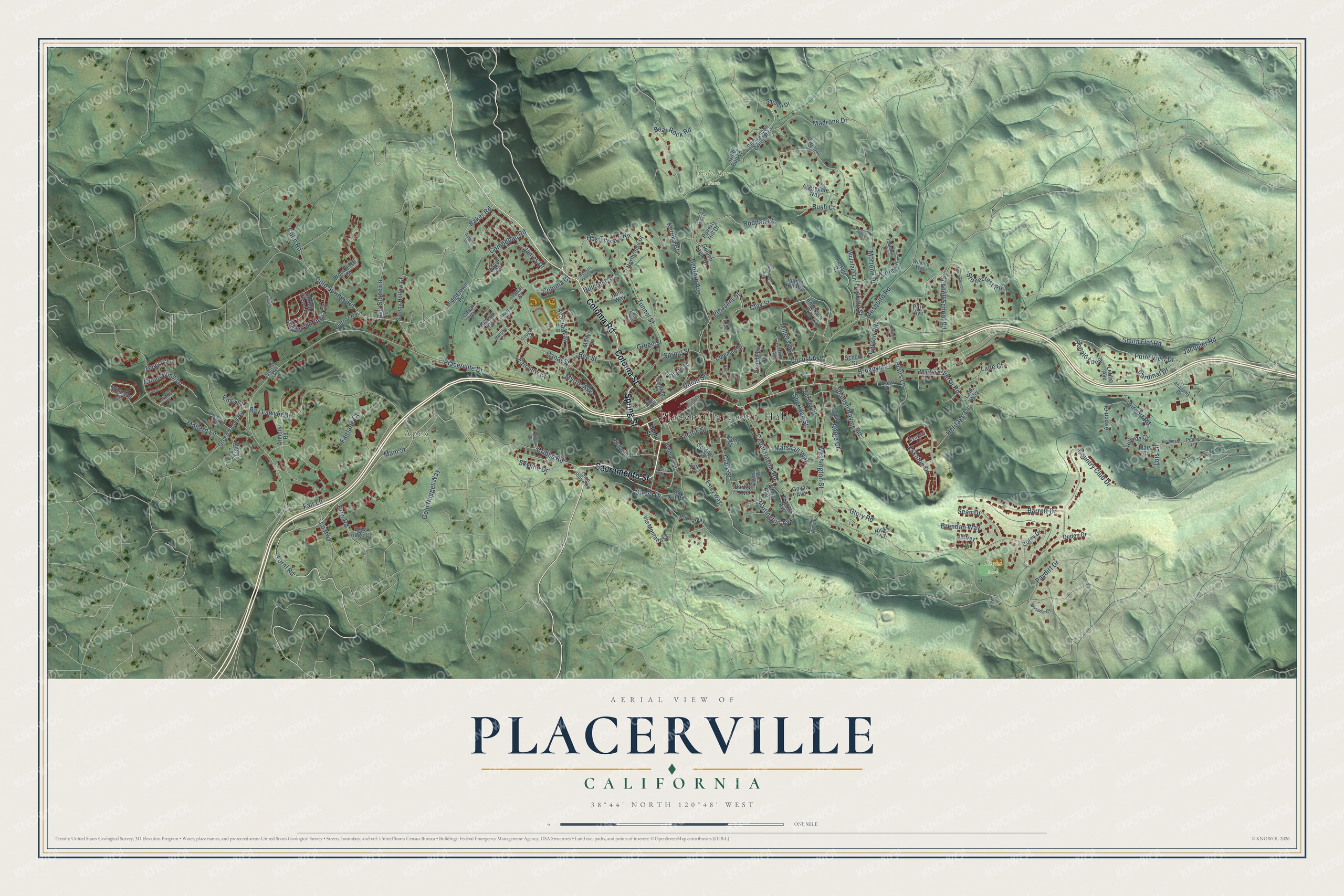
This beautifully detailed map of Placerville, California was created in 2026 using aerial imagery combined with modern topographical, census, street and landmark data. It's a modern aerial view of Placerville in El Dorado County, California, that combines modern data with a vintage aesthetic. The roads feature printed names, and if you look closely you can find your exact house accurately shown in its correct location.
Explore an aerial view of Placerville, California
On this map you'll find Placerville Town Hall, Apex, Gold Bug Park, Lions Park, Sacramento Street, Spring Street, Coloma Road, Coloma Street, Main Street, Darlington Avenue, Forni Road, Airport Road, and more. Each red shape is a building, so zoom in on the preview and look for yours.
Here is a piece of Placerville history, in the words of the record. The record at ohp.parks.ca.gov puts it this way: "Here on April 4, 1860, the first eastbound pony rider, William (Sam) Hamilton, changed horses, added an express letter to his mochila, and sped away for Sportsman's Hall."
Placerville is a city in El Dorado County. The Census Bureau counted 10,747 people here in 2020.
Take a closer look at the Placerville map
Names on this map
These names are printed on this map.
Places: Placerville Town Hall, Apex, Gold Bug Park and Lions Park.
Streets and roads: Sacramento Street, Spring Street, Coloma Road, Coloma Street, Main Street, Darlington Avenue, Forni Road, Airport Road, Point View Drive, Mosquito Road, Hocking Street, Ronald Loop.
More street names, A to Z
Acacia Way, Academy Drive, Adams Street, Aggregate Way, Airport Court, Anderson Way, Andrea Lane, Armory Road, Azalea Lane, Baco Drive, Baker Road, Barrett Drive, Bartlett Avenue, Bear Rock Road, Bedford Avenue, Bee Street, Benham Street, Bennett Valley Road, Big Canyon Creek Road, Big Cut Road, Blairs Lane, Brendan Way, Briw Ridge Court, Briw Road, Broadway, Bud Lane, Bush Court, Canal Court, Canal Street, Cardinal Drive, Carson Road, Cedar Ravine Road, Chi Chi Lane, Clark Street, Clay Street, Cold Springs Road, Coleman Street, Colin Road, Coloma Court, Combellac Road, Conrad Street, Coon Hollow Road, Corey Drive, Corina Street, Cottage Street, Cougar Lane, Country Club Drive, Cribbs Court, Cribbs Road, Cypress Lane, David Circle, Davis Court, Degolia Street, Drake Court, Duden Drive, Easy Street, Elm Avenue, Elm Court, Eskaton Drive, Estey Court, Estey Way, Fair Lane, Fairlane Court, Fairview Court, Ferrari Court, Fiske Street, Francis Avenue, Gerle Avenue, Giovanni Drive, Glory Road, Gold Bug Lane, Golden Eagle Drive, Goldman Lane, Goldner Street, Gold Nugget Way, Goyan Avenue, Grandview Street, Green Street, Green Valley Road, Green Wing Lane, Harvey Court, Heritage Lane, Hidden Springs Circle, High Street, Hillcrest Street, Hillside Court, Hilltop Drive, Holly Way, Indian Hill Road, Jacquier Road, James Drive, Jeffrey Lane, Katie Lane, Kenneth Court, Kereka Court, Lane Court, Lane Way, Letitia Avenue, Liberty Mine Court, Locust Avenue, Lo Highway, Lois Lane, Madrone Drive, Mallard Lane, Manor Drive, Marshall Way, Martin Lane, Mary Court, Masada Court, Middletown Road, Miles Way, Miller Way, Molly Lane, Morrene Drive, Moulton Drive, Mountain Lane, Myrtle Avenue, New Jersey Way, Nicks Lane, Norman Street, Northridge Drive, Oak Terrace Road, Orchard Way, Pacific Street, Pardi Way, Park Avenue, Paydirt Drive, Penny Lane, Pierroz Road, Pintail Lane, Placerville Drive, Pleasant Street, Poverty Hill Drive, Ray Lawyer Drive, Reservoir Street, Ridge Court, Roddan Court, Sandra Circle, Sarden Drive, Schnell School Road, School Street, Sean Drive, Sheridan Street, Sierra Drive, Skyline Drive, Sleepy Hollow Court, Smith Flat Road, Spanish Ravine Road, Spear Street, Spring View Lane, Stonecrest Road, Stone Lane, Tranquil Creek Road, Tunnel Street, Turner Street, Union Street, Via Montanosa, Vicini Drive, Village Lane, Washington Street, Wildlife Way, Wiltse Road, Winesap Circle, Winter Lane, Woodman Circle, Woodridge Court.
Created by KNOWOL in 2026. The buildings are small red shapes, the roads carry their printed names, and shaded relief shows the shape of the land. The title panel reads "AERIAL VIEW OF PLACERVILLE CALIFORNIA" with 38°44' NORTH 120°48' WEST.
It suits a den, a classroom or a front hall, and it makes a gift for anyone with Placerville roots. Open the preview and find the block you know. See sizes and frames for the Placerville map.