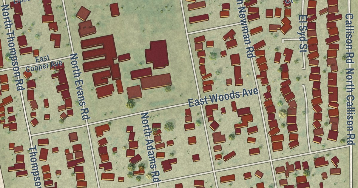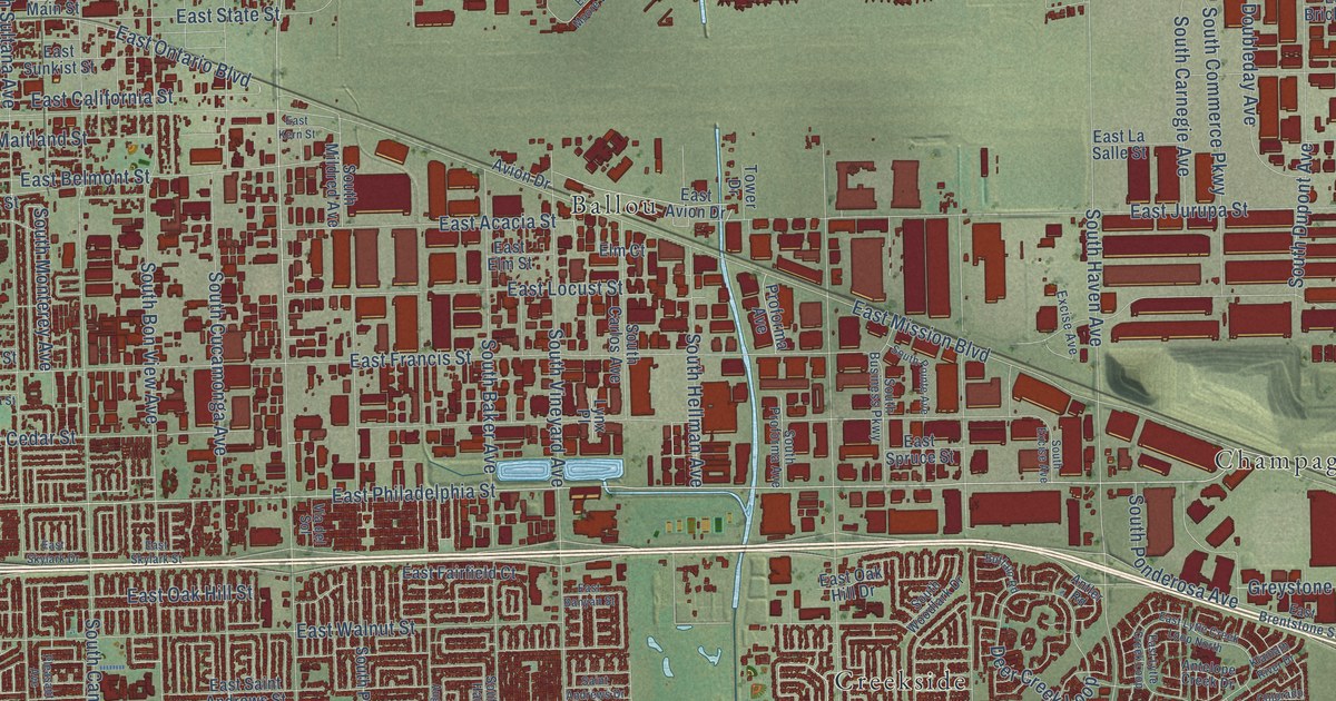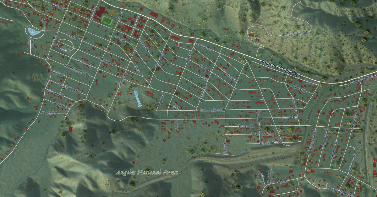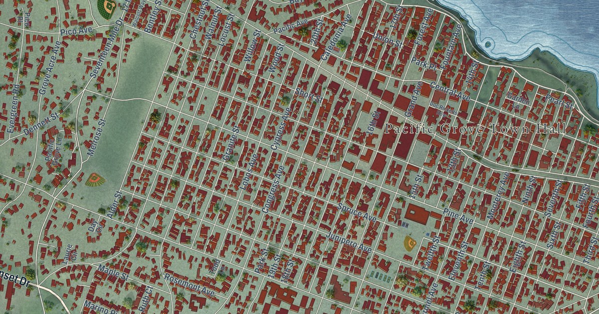
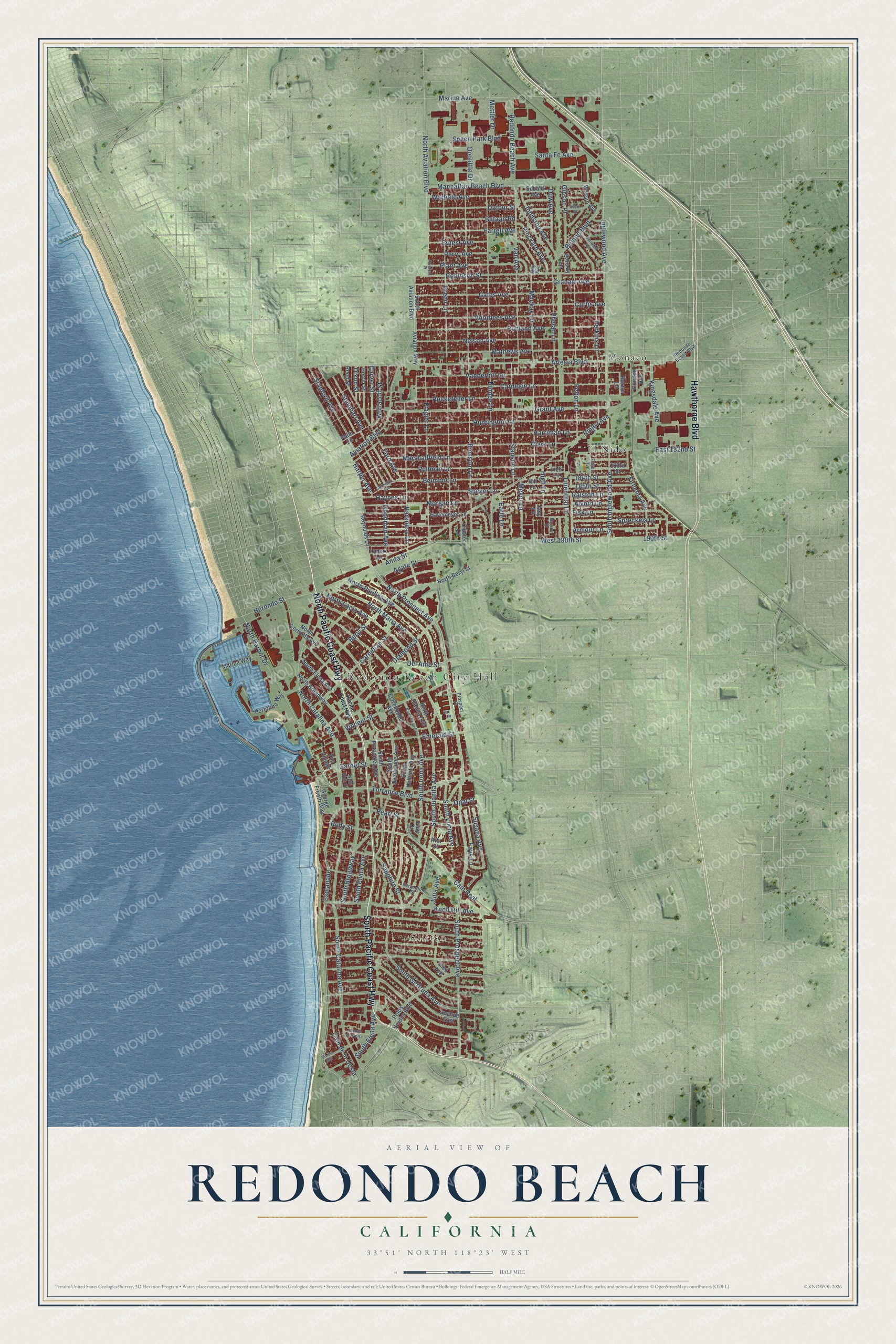
This beautifully detailed map of Redondo Beach, California was created in 2026 using aerial imagery combined with modern topographical, census, street and landmark data. It’s a one-of-a-kind view of Redondo Beach that combines accurate data with a vintage aesthetic. The map shows every building in its true location, many of the roads carry their names, and the shaded topographic relief shows the shape of the land.
Explore an aerial view of Redondo Beach, California
On the map you’ll find Redondo Beach City Hall, Clifton, El Nido, and Monaco, along with North Pacific Coast Highway, South Pacific Coast Highway, Hawthorne Boulevard, Herondo Street, Inglewood Avenue, South Prospect Avenue, North Catalina Avenue, North Prospect Avenue, and more. If you look closely you can even find your house accurately drawn in its correct location. Zoom in on the preview to look for yours.
Did you know this piece of Redondo Beach, California history?
From the LA County Beaches and Harbors: "By 1892 Redondo Beach became an incorporated city and served as an early Port of Los Angeles."
Take a closer look at the Redondo Beach map
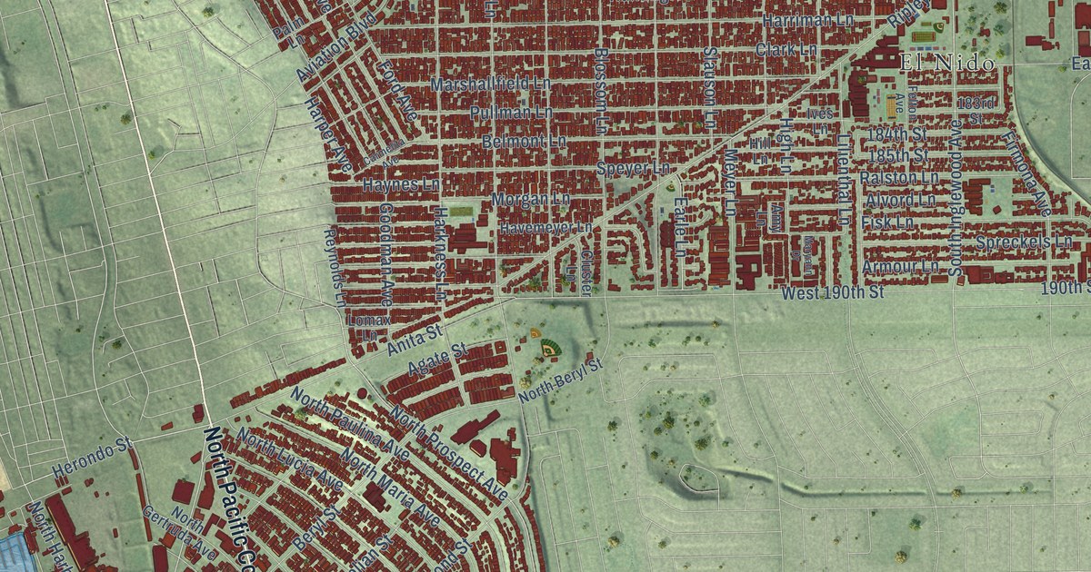
Street and place names on the Redondo Beach, California map
These names are printed on the map of Redondo Beach, California.
Places: Redondo Beach City Hall, Clifton, El Nido and Monaco.
Streets and roads: North Pacific Coast Highway, South Pacific Coast Highway, Hawthorne Boulevard, Herondo Street, Inglewood Avenue, South Prospect Avenue, North Catalina Avenue, North Prospect Avenue, South Inglewood Avenue, 190th Street, South Catalina Avenue, Emerald Street.
More street names, A to Z
160th Street, 183rd Street, 184th Street, 185th Street, Agate Street, Alvord Lane, Amy Lane, Anita Street, Armour Lane, Artesia Boulevard, Avenue del Norte, Avenue East, Aviation Boulevard, Aviation Place, Aviation Way, Barclay Lane, Bataan Road, Beland Boulevard, Belmont Lane, Beryl Street, Blaisdell Avenue, Blossom Lane, Cam de la Costa, Cam Real, Carmelita Avenue, Carnegie Lane, Carnelian Street, Carver Street, Clark Lane, Cluster Lane, Condon Avenue, Curtis Avenue, Del Amo Street, Diamond Street, Dixon Street, Doolittle Drive, Dow Avenue, Dufour Street, Earle Lane, East 182nd Street, El Redondo Avenue, Ernest Avenue, Esplanade, Farrell Avenue, Faye Lane, Felton Avenue, Felton Lane, Firmona Avenue, Fisk Lane, Flagler Lane, Ford Avenue, Garnet Street, Gates Avenue, George Freeth Way, Gibson Place, Goodman Avenue, Graham Avenue, Grant Avenue, Green Lane, Harkness Lane, Harper Avenue, Harriman Lane, Havemeyer Lane, Haynes Lane, Herrin Street, High Lane, Hill Lane, Huntington Lane, Ives Lane, Johnston Avenue, Judy Drive, Julia Avenue, Kingsdale Avenue, Knob Hill Avenue, Lilienthal Lane, Lomax Lane, Mackay Lane, Manhattan Beach Boulevard, Marina Way, Marine Avenue, Marshallfield Lane, Maryann Drive, Mathews Avenue, May Avenue, McBain Avenue, Mettler Drive, Meyer Lane, Morgan Lane, Nelson Avenue, New High Court, North Aviation Boulevard, North Beryl Street, North Broadway, North Elena Avenue, North Gertruda Avenue, North Harbor Drive, North Irena Avenue, North Juanita Avenue, North Lucia Avenue, North Maria Avenue, North Paulina Avenue, Opal Street, Pacific Coast Highway, Palm Lane, Palos Verdes Boulevard, Pearl Street, Perkins Lane, Perry Avenue, Phelan Lane, Pinckard Avenue, Plant Avenue, Portofino Way, Prospect Place, Pullman Lane, Ralston Lane, Redondo Beach Avenue, Redondo Beach Boulevard, Reed Street, Reynolds Lane, Rindge Lane, Ripley Avenue, Rita Street, Robinson Street, Rockefeller Lane, Ruby Street, Ruhland Avenue, Ruxton Lane, Santa Fe Avenue, Sapphire Street, Sebald Avenue, Serpentine Street, Slauson Lane, South Aviation Boulevard, South Broadway, South Elena Avenue, South Elvira Avenue, South Francisca Avenue, South Gertruda Avenue, South Guadalupe Avenue, South Helberta Avenue, South Irena Avenue, South Juanita Avenue, South Lucia Avenue, Space Park Boulevard, Speyer Lane, Spreckels Lane, Stanford Avenue, Steinhart Avenue, Susana Avenue, The Village, Torrance Boulevard, Vail Avenue, Vanderbilt Lane, Vincent Street, Vis del Mar, Voorhees Avenue, Warfield Avenue, West 190th Street, Wollacott Street, Ynez Avenue.
See the Redondo Beach, California map on a wall
The Redondo Beach map as an 18 x 24 inch print in a black frame.

This beautifully detailed map of Redondo Beach makes an attractive addition to your office, library, or den, and it can even be used to teach children the geography and history of the area. It also makes a great gift for anyone who grew up in Redondo Beach or moved away. When you’re done exploring, click here to get your copy of the Redondo Beach map.