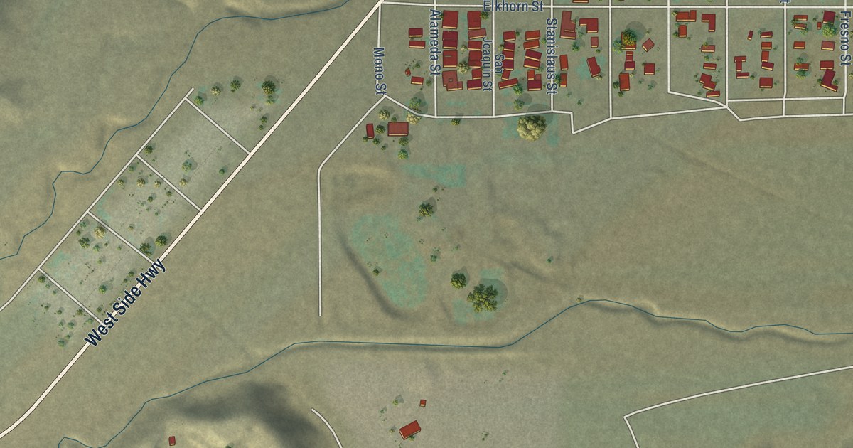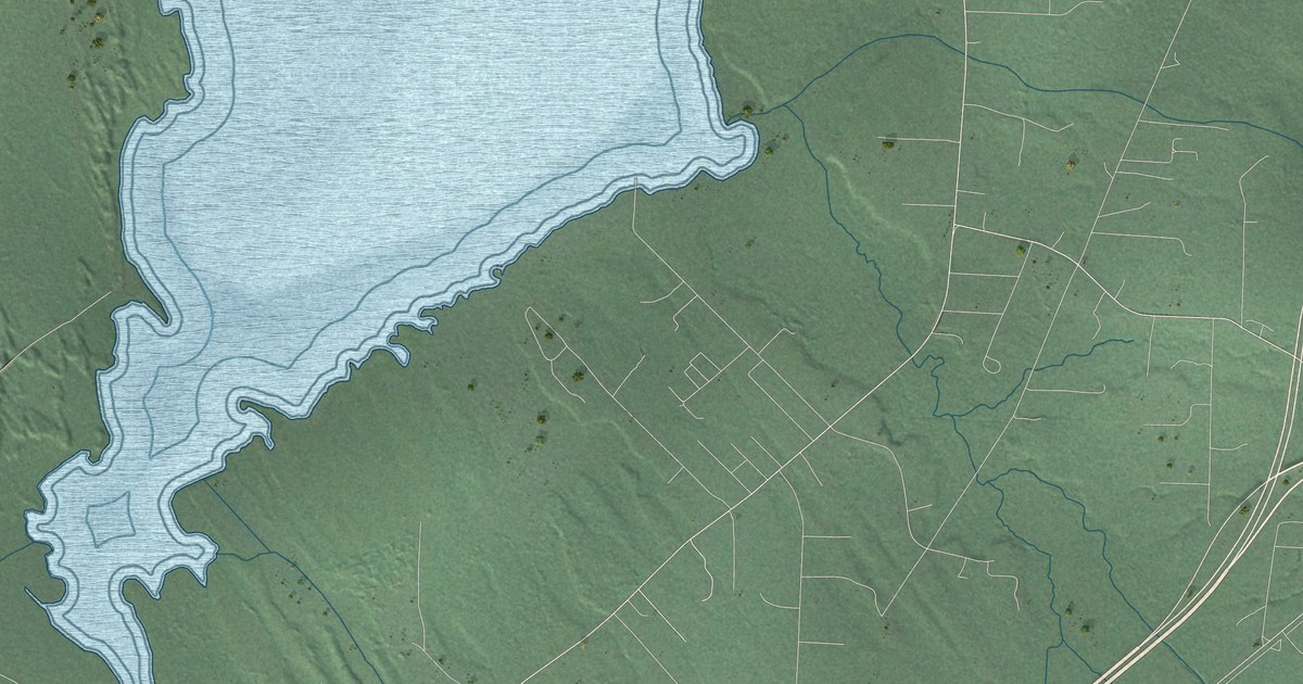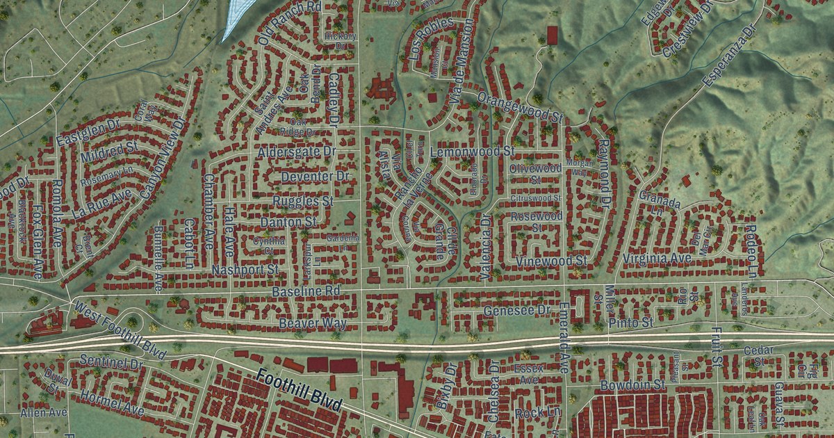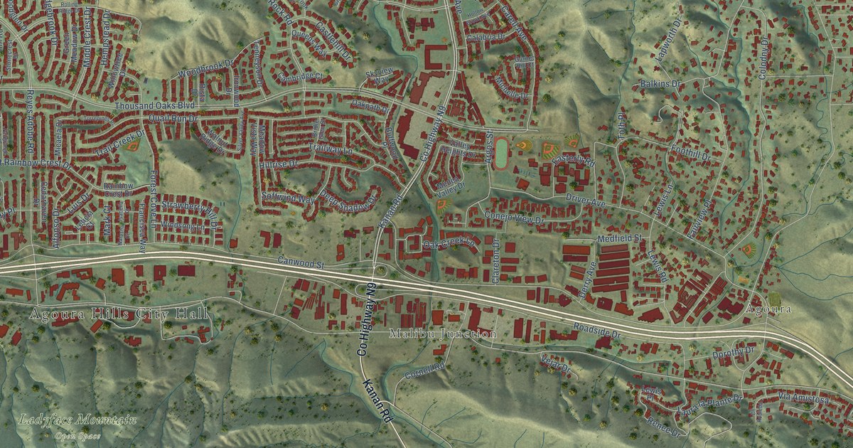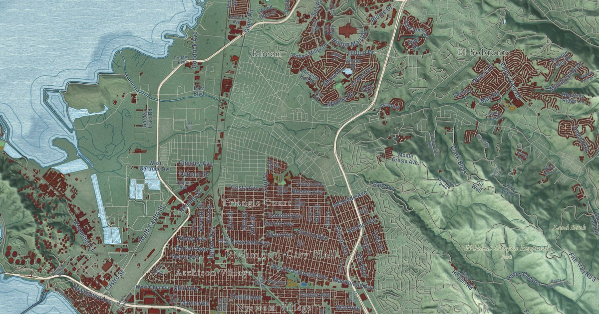
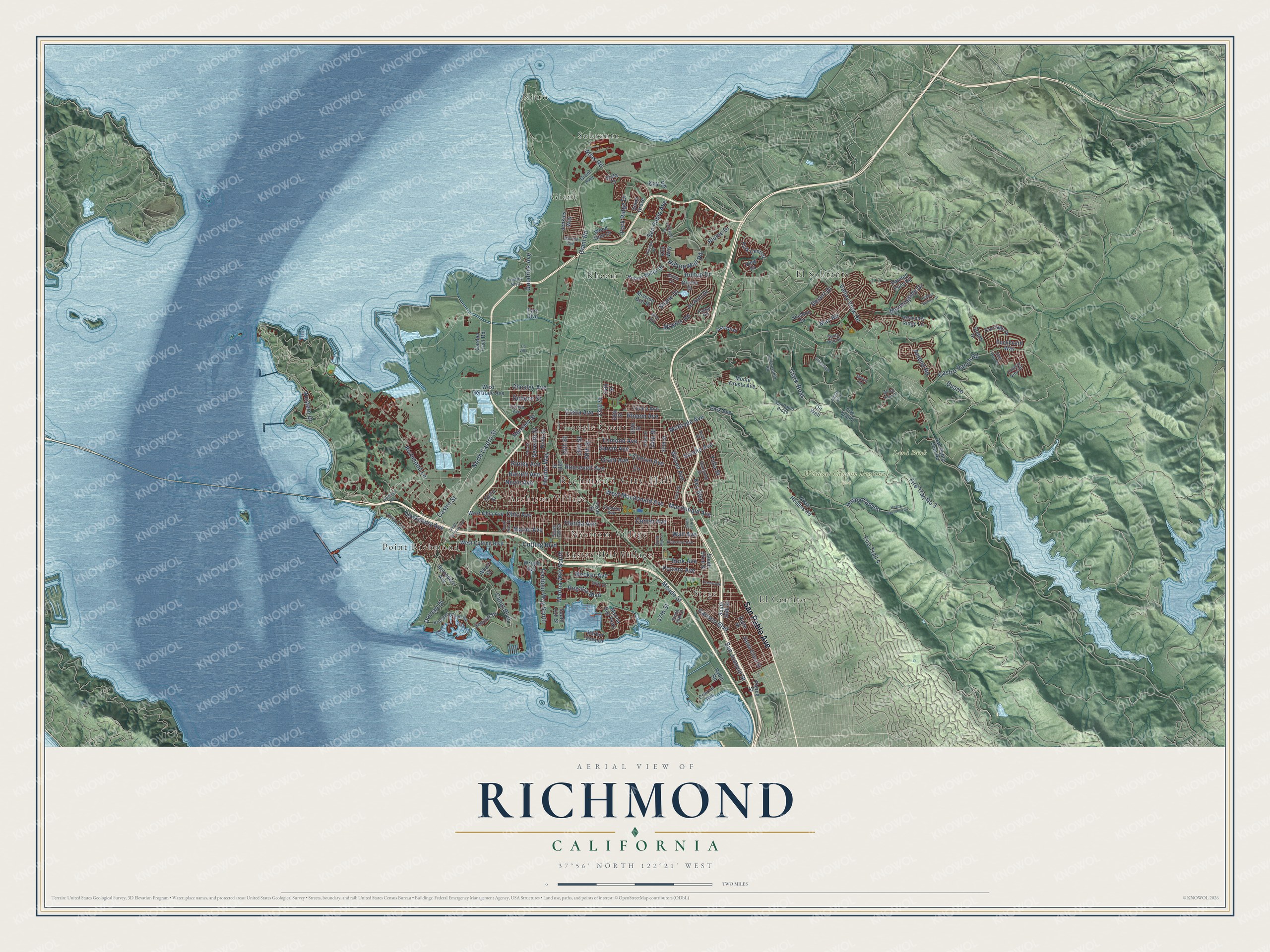
This beautifully detailed map of Richmond, California was created in 2026 using aerial imagery combined with modern topographical, census, street and landmark data. It's a modern aerial view of Richmond in Contra Costa County, California, that combines modern data with a vintage aesthetic. The roads feature printed names, and if you look closely you can find your exact house accurately shown in its correct location.
Explore an aerial view of Richmond, California
On this map you'll find Richmond City Hall, Land Bank, Wildcat Canyon Regional Park, Atchison Village, Easter Hill Village, El Cerrito, El Sobrante, Giant, Nitro, Nystrom Village, Point Richmond, Rheem, and more. Each red shape is a building, so zoom in on the preview and look for yours.
Here is a piece of Richmond history, in the words of the record. The record at ohp.parks.ca.gov puts it this way: "At the time it was built, it provided both a light and roof signal to guide boats ferrying mail, passengers, and freight between San Francisco and various island ports."
Richmond is a city in Contra Costa County. The Census Bureau counted 116,448 people here in 2020.
Take a closer look at the Richmond map
Names on this map
These names are printed on this map.
Places: Richmond City Hall, Land Bank, Wildcat Canyon Regional Park, Atchison Village, Easter Hill Village, El Cerrito, El Sobrante, Giant, Nitro, Nystrom Village, Point Richmond, Rheem, Sobrante, Stege and Triangle Court.
Streets and roads: San Pablo Avenue, Castro Street, North Castro Street, 23rd Street, Ohio Avenue, Canal Boulevard, West Macdonald Avenue, McBryde Avenue, Carlson Boulevard, Clark-Boas, Fire Trail No 3, Western Drive.
More street names, A to Z
13th Street, 15th Street, 18th Street, 20th Street, 22nd Street, 24th Street, 26th Street, 29th Street, 31st Street, 32nd Street, 34th Street, 37th Street, 43rd Street, 47th Street, Amend Road, Atlas Road, Barrett Avenue, Belvedere Avenue, Berk Avenue, Blume Drive, Brickyard Cove Road, Bristle Cone Drive, Buckboard Way, Butte Street, Carriage Drive, Castro Ranch Road, Center Avenue, Central Avenue, Chanslor Avenue, Chesley Avenue, Clinton Avenue, Coach Drive, Costa Avenue, Country View Drive, Creely Avenue, Curry Street, Cutting Boulevard, Da Villa, Deer Run Drive, Desert Drive, Dornan Drive, Duarte, Duboce Street, Esmond Avenue, Fifth Street, Fire Trail 4, Fire Trail 5, Florida Avenue, Freethy Boulevard, Garden Tract Road, Garvin Avenue, Giant Highway, Giant Road, Gilma Drive, Goodrick Avenue, Grant Avenue, Greenridge, Groom Drive, Harbor View Drive, Harbor Way, Harbour Way South, Havey Canyon, Havey Canyon Trail, Heavenly Ridge Lane, Hensley Street, Hidden Springs Court, Hilltop Drive, Hilltop Mall Road, Hillview Drive, Humboldt Street, Jenkins Way, Jetty Drive, Jo Ann Drive, Kay Road, Kern Street, Key Boulevard, Kite Way, La Cresenta Road, Lakeside Drive, Lenora Road, Macdonald Avenue, Maine Avenue, Marina Bay Parkway, Marina Way South, May Road, Meade Street, Meeker Avenue, Mills Avenue, Mission Bell Drive, Monte Cresta Avenue, Morningside Drive, Morton Avenue, Moyers Road, Nevin Avenue, Nimitz Way, Ninth Street, Ocean Avenue, Oil Well, Overend Avenue, Painted Pony Road, Park Avenue, Park Central, Parker Road, Park Ridge Drive, Parr Boulevard, Pierce Street, Potrero Avenue, Regatta Boulevard, Rheem Avenue, Richmond Lane, Ripley Avenue, Robert Miller Drive, Roosevelt Avenue, Rydin Road, San Joaquin Street, San Pablo Dam Road, San Pablo Ridge, Santa Clara Street, Santa Rita Road, Scofield Avenue, Seacliff Drive, Selmi Grove, Seventh Street, Shane Drive, Sheldon Drive, Solano Avenue, South 13th Street, South 14th Street, South 39th Street, South 47th Street, South 50th Street, South 52nd Street, South 56th Street, South First Street, South Garrard Boulevard, Tewksbury Avenue, Tulare Avenue, Valley View Road, Vernon Avenue, Via Verdi, View Drive, Vista Court, Vista Heights Road, Wall Avenue, West Cutting Boulevard, West Gertrude Avenue, West Ohio Avenue, Wharf Street, Wilson Avenue, Wood Glen Drive, Wright Avenue, Yuba Street.
Created by KNOWOL in 2026. The buildings are small red shapes, the roads carry their printed names, and shaded relief shows the shape of the land. The title panel reads "AERIAL VIEW OF RICHMOND CALIFORNIA" with 37°56' NORTH 122°21' WEST.
It suits a den, a classroom or a front hall, and it makes a gift for anyone with Richmond roots. Open the preview and find the block you know. See sizes and frames for the Richmond map.