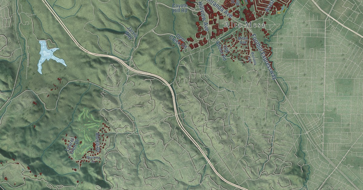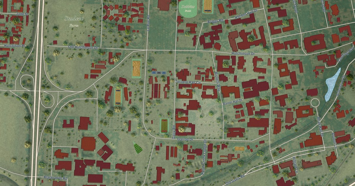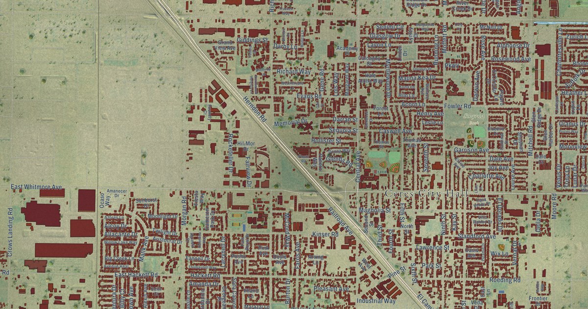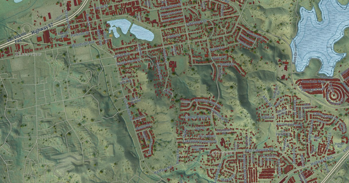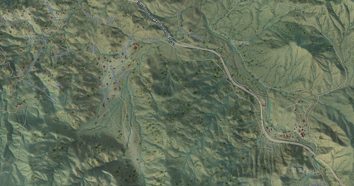
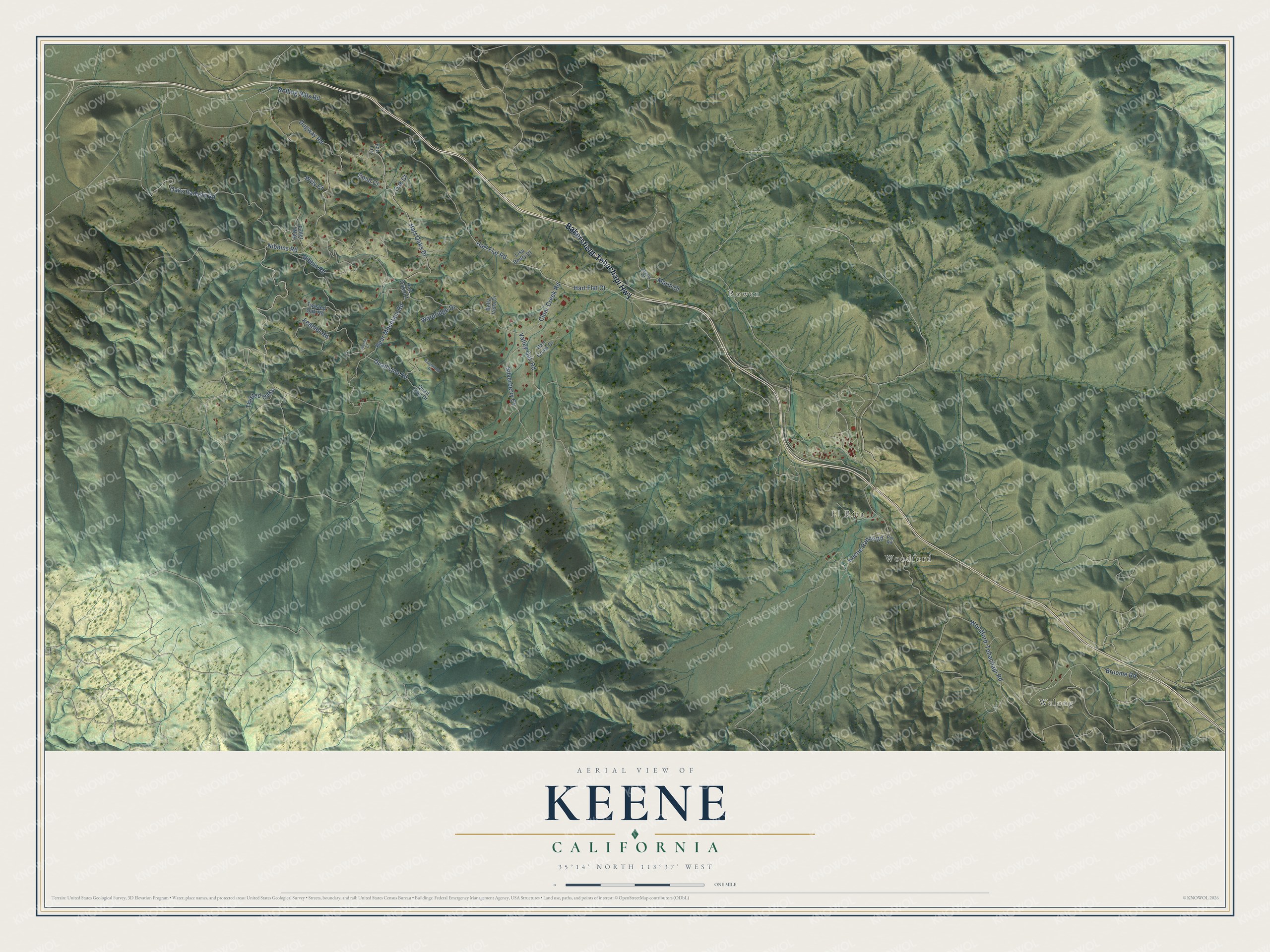
This beautifully detailed map of Keene, California was created in 2026 using aerial imagery combined with modern topographical, census, street and landmark data. It's a modern aerial view of Keene in Kern County, California, that combines modern data with a vintage aesthetic. The roads feature printed names, and if you look closely you can find your exact house accurately shown in its correct location.
Explore an aerial view of Keene, California
On this map you'll find Walong, Woodford, El Rita, Rowen, Bakersfield-Tehachapi Highway, Clear Creek Road, Nibbins Road, Hart Oaks Drive, Quail Line Road, Woodford-Tehachapi Road, Hart Flat Road, Oaks Rancho Road, and more. Each red shape is a building, so zoom in on the preview and look for yours.
Keene has a story worth telling. In 1972 César Chávez made Keene the headquarters of the United Farm Workers, on a 187 acre former tuberculosis sanatorium called Nuestra Señora Reina de la Paz, or La Paz. Chávez and his family lived there, and when he died in 1993 he was buried at La Paz, as he had wished. In 2012 President Barack Obama made La Paz the César E. Chávez National Monument, and the National Park Service took on its care. That's from the National Park Service.
Keene is a community in Kern County. The Census Bureau counted 469 people here in 2020.
Take a closer look at the Keene map
Names on this map
These names are printed on this map.
Places: Walong, Woodford, El Rita and Rowen.
Streets and roads: Bakersfield-Tehachapi Highway, Clear Creek Road, Nibbins Road, Hart Oaks Drive, Quail Line Road, Woodford-Tehachapi Road, Hart Flat Road, Oaks Rancho Road, Hart Flat Court, Bear Mountain Road, Dugway Road, Feather Road.
More street names, A to Z
Bella Vista Drive, Broome Road, Cassie Court, Cuesta Court, Fox Lane, Fuller Way, Hart Creek Drive, Hart Oaks Court, Keene Ranch Road, Lisa Beery Court, Marni Court, Nibbin Road, Oak Court, Pond Court, Put Road, Quail Line Drive, Ridgewood Drive, Rolling Hills Road, Silverberry Court, Twisted Oak Road, Twisted Oaks, Valley Oak Road, Wardridge Drive, Wyly Court.
See it on a wall
The Keene map as a framed print. Swipe for more.


Created by KNOWOL in 2026. The buildings are small red shapes, the roads carry their printed names, and shaded relief shows the shape of the land. The title panel reads "AERIAL VIEW OF KEENE, CALIFORNIA" with 35°14' NORTH 118°37' WEST.
It looks right in a kitchen, an office or a den, and it's a gift for anyone who grew up in Keene or moved away. Open the preview and find your street. See sizes and frames for the Keene map.