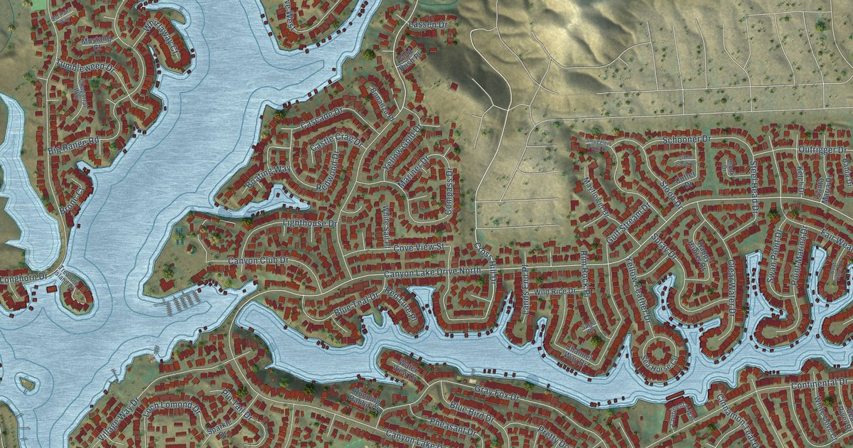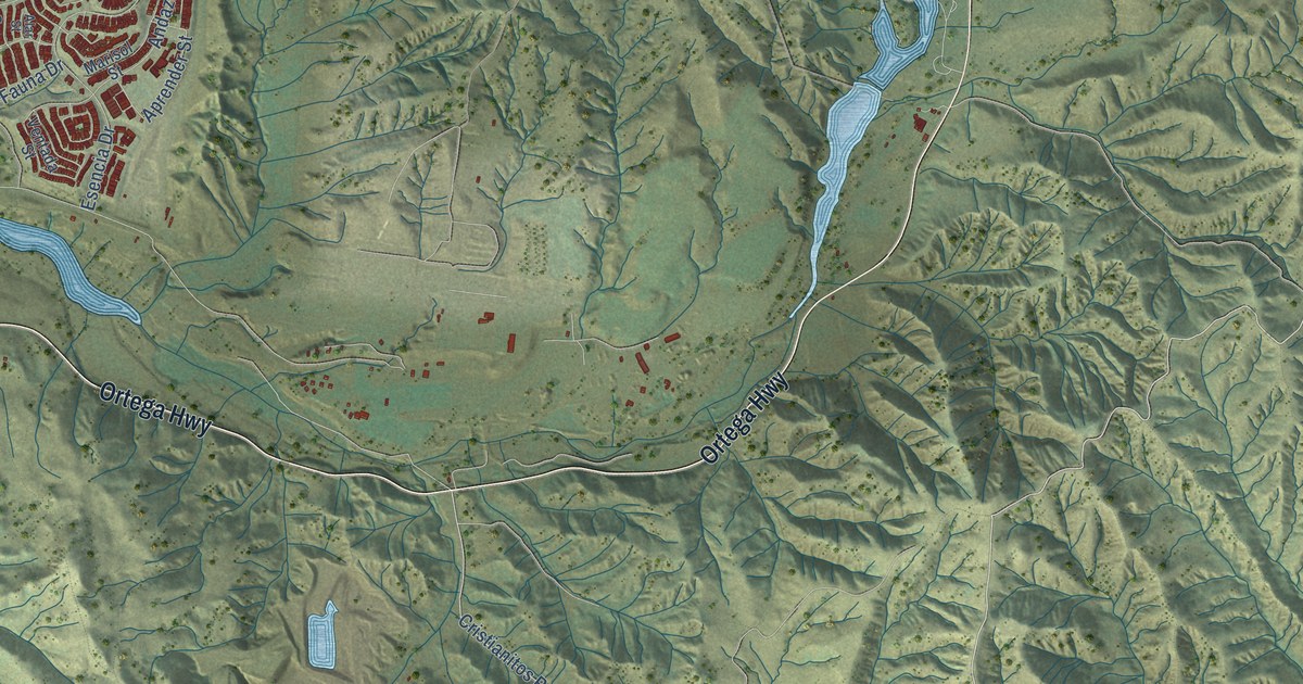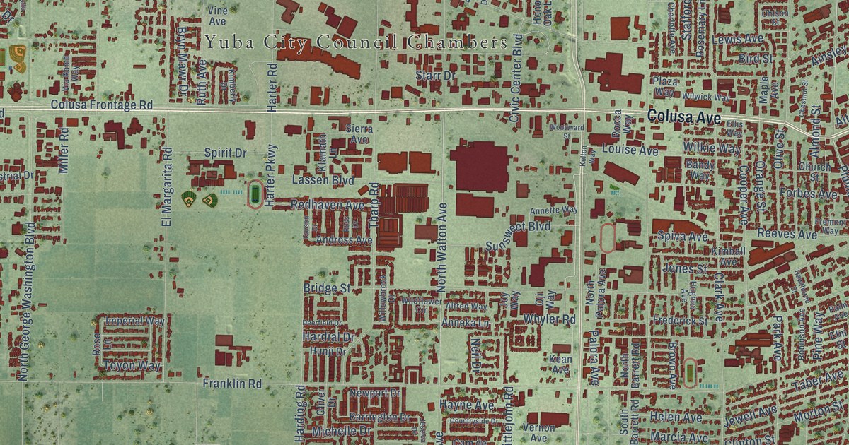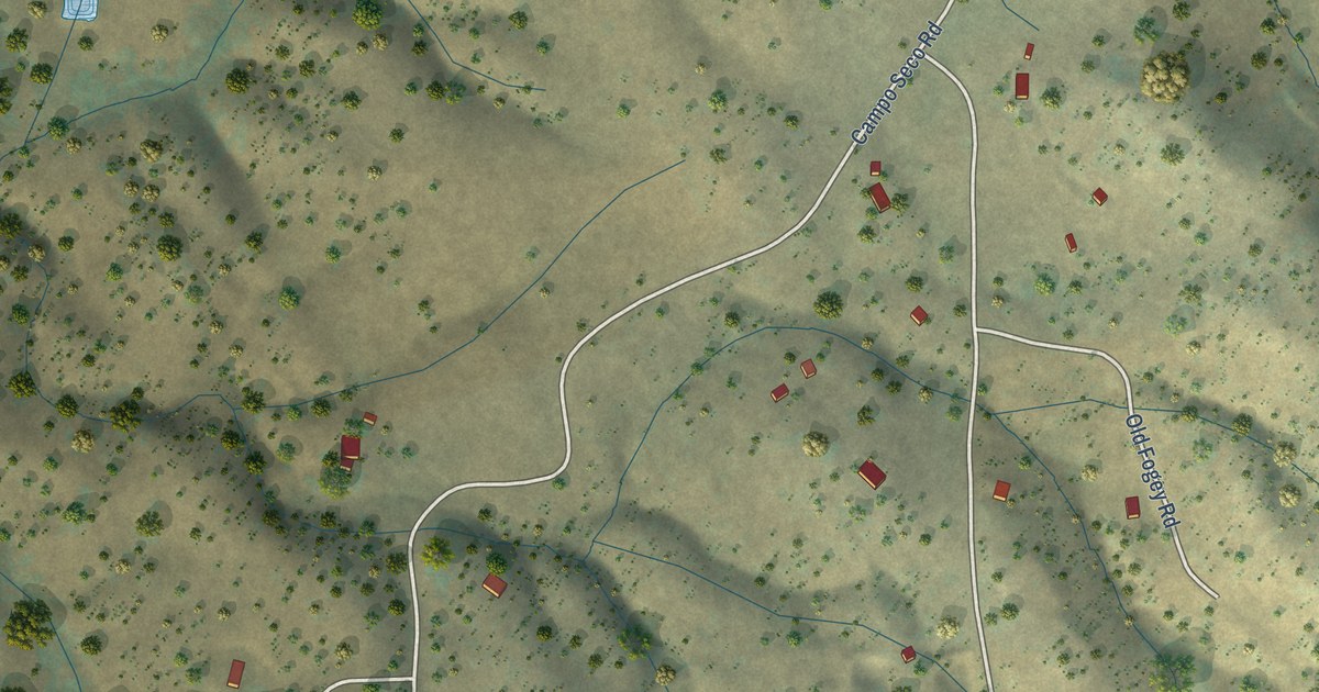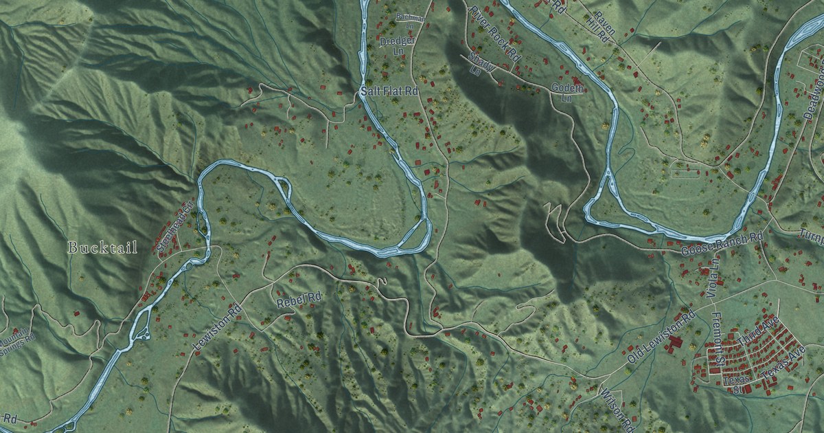
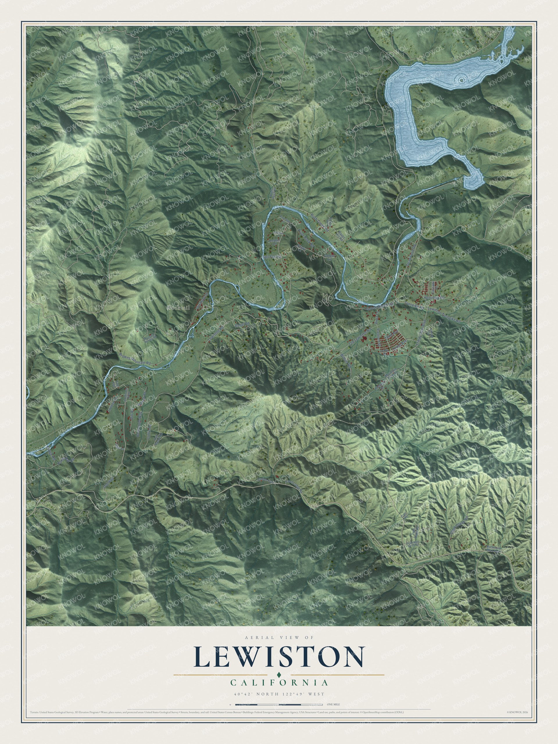
This beautifully detailed map of Lewiston, California was created in 2026 using aerial imagery combined with modern topographical, census, street and landmark data. It's a modern aerial view of Lewiston in Trinity County, California, that combines modern data with a vintage aesthetic. The roads feature printed names, and if you look closely you can find your exact house accurately shown in its correct location.
Explore an aerial view of Lewiston, California
On this map you'll find Bucktail, Third Avenue, Texas Avenue, Old Highway, Poker Bar Road, Goose Ranch Road, Old Lewiston Road, Turnpike Road, Trinity Dam Boulevard, Lewiston Road, Rush Creek Road, Browns Mountain Road, and more. Each red shape is a building, so zoom in on the preview and look for yours.
Lewiston has a story worth telling. Lewiston was one of the earliest towns in Trinity County, a gold rush settlement on the Trinity River named for B. F. Lewis, who arrived in the early 1850s and became its first postmaster. Olney Phillips ran the toll bridge across the river, and when high water took the bridge out, he ran ferries. The town school began as a temperance hall built by the Good Templars in 1862, and it taught Lewiston children from 1865 until the 1950s. That's from the National Register of Historic Places.
Lewiston is a community in Trinity County. The Census Bureau counted 1,222 people here in 2020.
Take a closer look at the Lewiston map
Names on this map
These names are printed on this map.
Places: Bucktail.
Streets and roads: Third Avenue, Texas Avenue, Old Highway, Poker Bar Road, Goose Ranch Road, Old Lewiston Road, Turnpike Road, Trinity Dam Boulevard, Lewiston Road, Rush Creek Road, Browns Mountain Road, Lewiston Turnpike Road.
More street names, A to Z
Bachman Lane, Benvenuto Way, Bridge Road, Buckhorn Sta Loop, Carr Place, Cascade Drive, Clark Creek Road, Coffin Road, Dead Mule Gulch Road, Deadwood Road, Dirt Road, Dredger Lane, Fawn Lodge Road, Fremont Street, Gibson Drive, Godeth Lane, Henrietta Road, Lowden Vw, Mountain Springs Road, Mountain View Drive, Oak Ranch Road, Ohio Lane, Old Oak Road, Partridge Lane, Pine Flat, Pleasant Drive, Ponderosa Pines, Raven Hill Road, Rebel Road, River Rock Road, Salt Flat Road, Shady Lane, Steelhead Circle, Texas Street, Timber Trail, Twin Oaks Road, Viola Lane, Wellock Road, Wilson Road, Wright Ranch Road.
See it on a wall
The Lewiston map as a framed print. Swipe for more.


Created by KNOWOL in 2026. The buildings are small red shapes, the roads carry their printed names, and shaded relief shows the shape of the land. The title panel reads "AERIAL VIEW OF LEWISTON, CALIFORNIA" with 40°42' NORTH 122°49' WEST.
It looks right in a kitchen, an office or a den, and it's a gift for anyone who grew up in Lewiston or moved away. Open the preview and find your street. See sizes and frames for the Lewiston map.