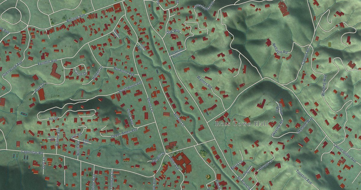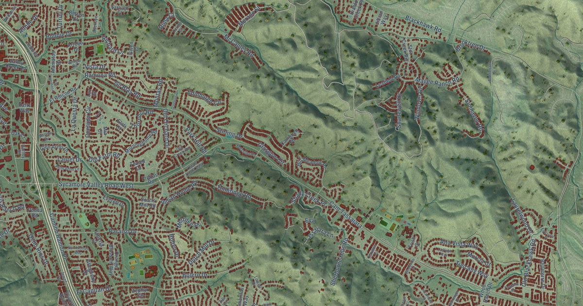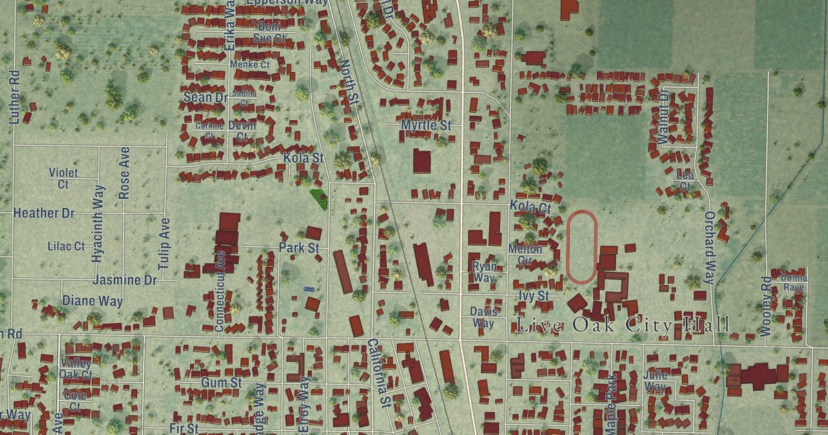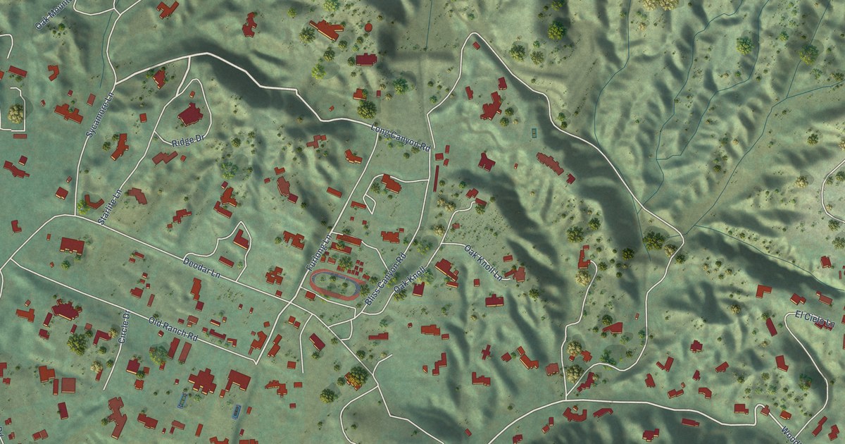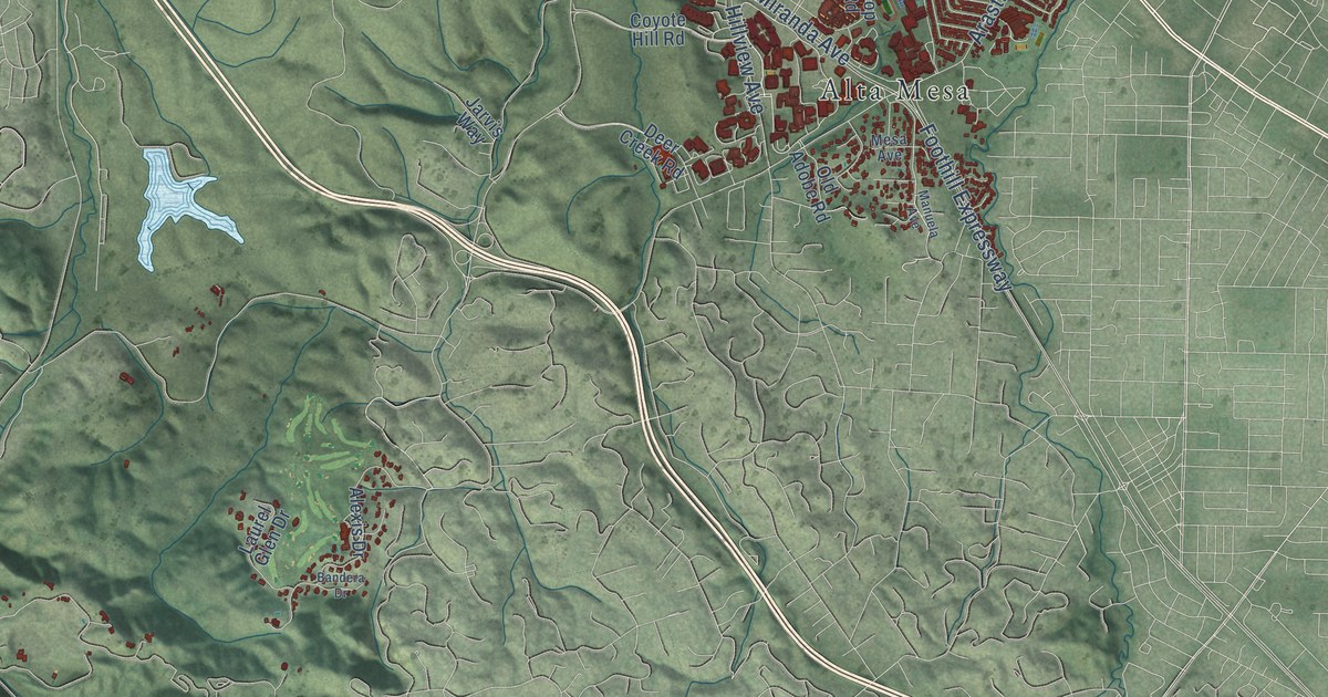
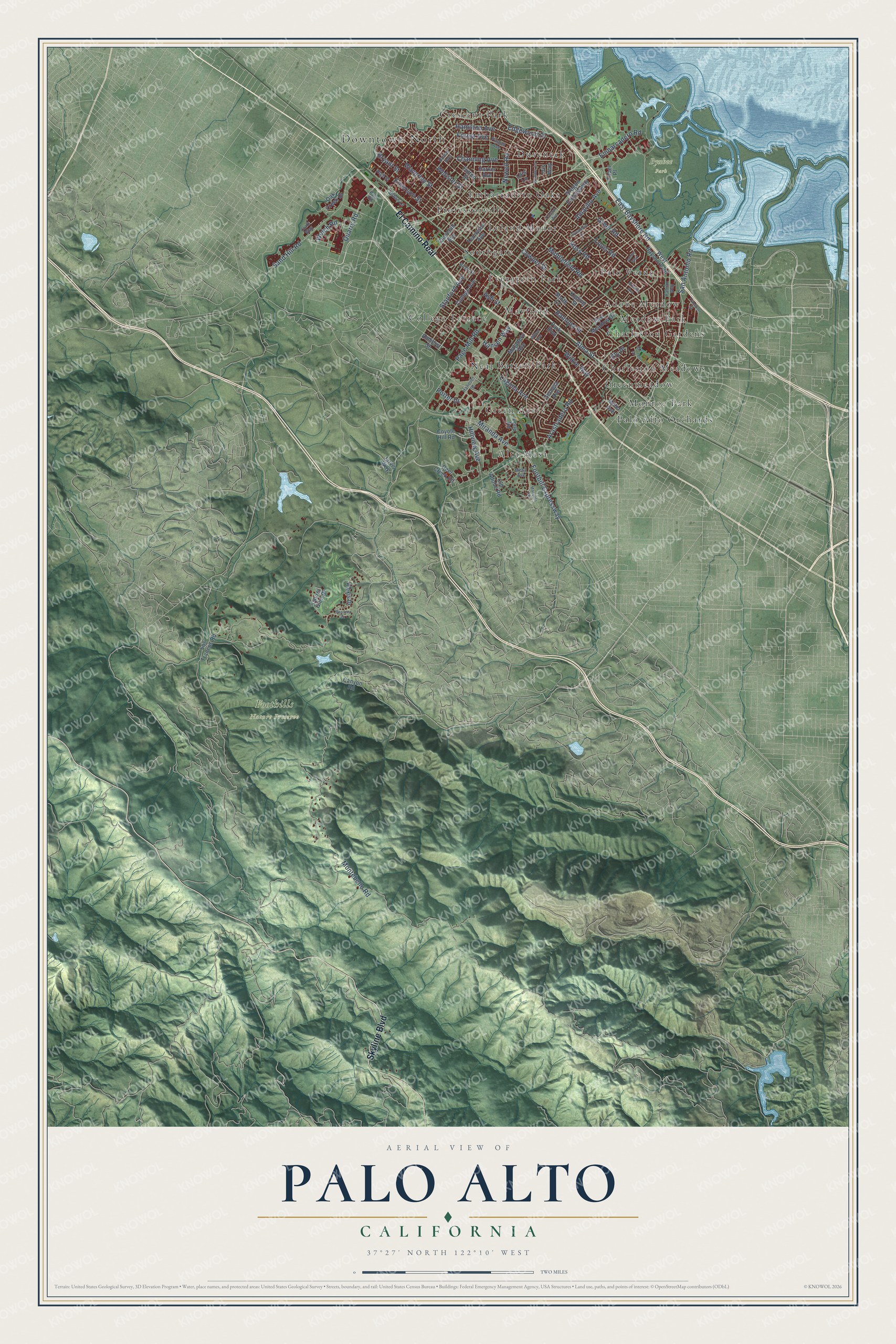
This beautifully detailed map of Palo Alto, California was created in 2026 using aerial imagery combined with modern topographical, census, street and landmark data. It's a modern aerial view of Palo Alto in Santa Clara County, California, that combines modern data with a vintage aesthetic. The roads feature printed names, and if you look closely you can find your exact house accurately shown in its correct location.
Explore an aerial view of Palo Alto, California
On this map you'll find Downtown North, Byxbee Park, Foothills Nature Preserve, Adobe Meadow, Alta Mesa, Barron Park, Charleston Gardens, Charleston Meadows, College Terrace, Crescent Park, Duveneck, Embarcadero Oaks, and more. Each red shape is a building, so zoom in on the preview and look for yours.
Palo Alto has a story worth telling. The record at ohp.parks.ca.gov puts it this way: "Lee de Forest, inventor of the three-element radio vacuum tube, devised the first vacuum tube amplifier and oscillator in 1911-13."
Palo Alto is a city in Santa Clara County. The Census Bureau counted 68,572 people here in 2020.
Take a closer look at the Palo Alto map
Names on this map
These names are printed on this map.
Places: Downtown North, Byxbee Park, Foothills Nature Preserve, Adobe Meadow, Alta Mesa, Barron Park, Charleston Gardens, Charleston Meadows, College Terrace, Crescent Park, Duveneck, Embarcadero Oaks, Evergreen Park, Green Acres, Greenmeadow, Leland Manor, Mayfield, Meadow Park, Monroe Park, Neal, Palo Alto Orchards, Palo Verde, Professorville and Southgate.
Streets and roads: El Camino Real, Skyline Boulevard, Alma Street, Embarcadero Road, San Antonio Road, Middlefield Road, Greer Road, Edgewood Drive, Page Mill Road, Foothill Expressway, Waverley Street, Arastradero Road.
More street names, A to Z
Alexis Drive, Amarillo Avenue, Amherst Street, Arbutus Avenue, Ash Street, Bandera Drive, Birch Street, Bryant Street, Canyon Road, Channing Avenue, Churchill Avenue, Clark Way, College Avenue, Cowper Street, Coyote Hill Road, Deer Creek Road, East Bayshore Road, East Meadow Drive, Ely Place, Emerson Street, Faber Place, Fabian Way, Forest Avenue, Fulton Street, Georgia Avenue, Hamilton Avenue, Hanover Street, Hansen Way, Harker Avenue, Heather Lane, High Street, Hillview Avenue, Homer Avenue, Iris Way, Janice Way, Jarvis Way, Kipling Street, Laguna Avenue, Laurel Glen Drive, Lois Lane, Loop Road, Los Trancos Road, Louis Road, Manuela Avenue, Matadero Avenue, Mesa Avenue, Miller Avenue, Miranda Avenue, Montebello Road, Nelson Drive, Newell Road, Oak Creek Drive, Old Adobe Road, Oregon Avenue, Oregon Expressway, Palo Road, Park Boulevard, Pitman Avenue, Porter Drive, Quarry Road, Ramona Street, Ross Road, Sand Hill Road, South Court, Stanford Avenue, Sycamore Drive, Tennyson Avenue, Transport Street, Urban Lane, Webster Street, Welch Road, West Bayshore Road, Wilkie Way, Wilton Avenue.
Created by KNOWOL in 2026. The buildings are small red shapes, the roads carry their printed names, and shaded relief shows the shape of the land. The title panel reads "AERIAL VIEW OF PALO ALTO CALIFORNIA" with 37°27' NORTH 122°10' WEST.
It looks right in a kitchen, an office or a den, and it's a gift for anyone who grew up in Palo Alto or moved away. Open the preview and find your street. See sizes and frames for the Palo Alto map.