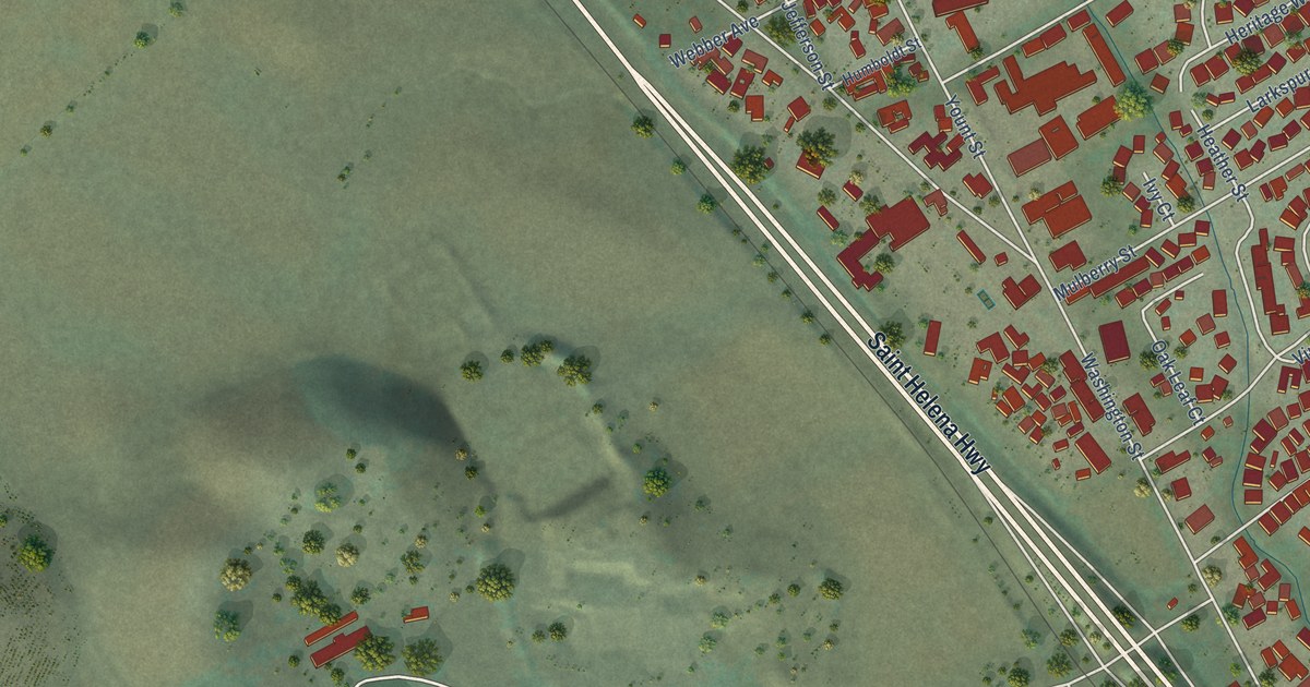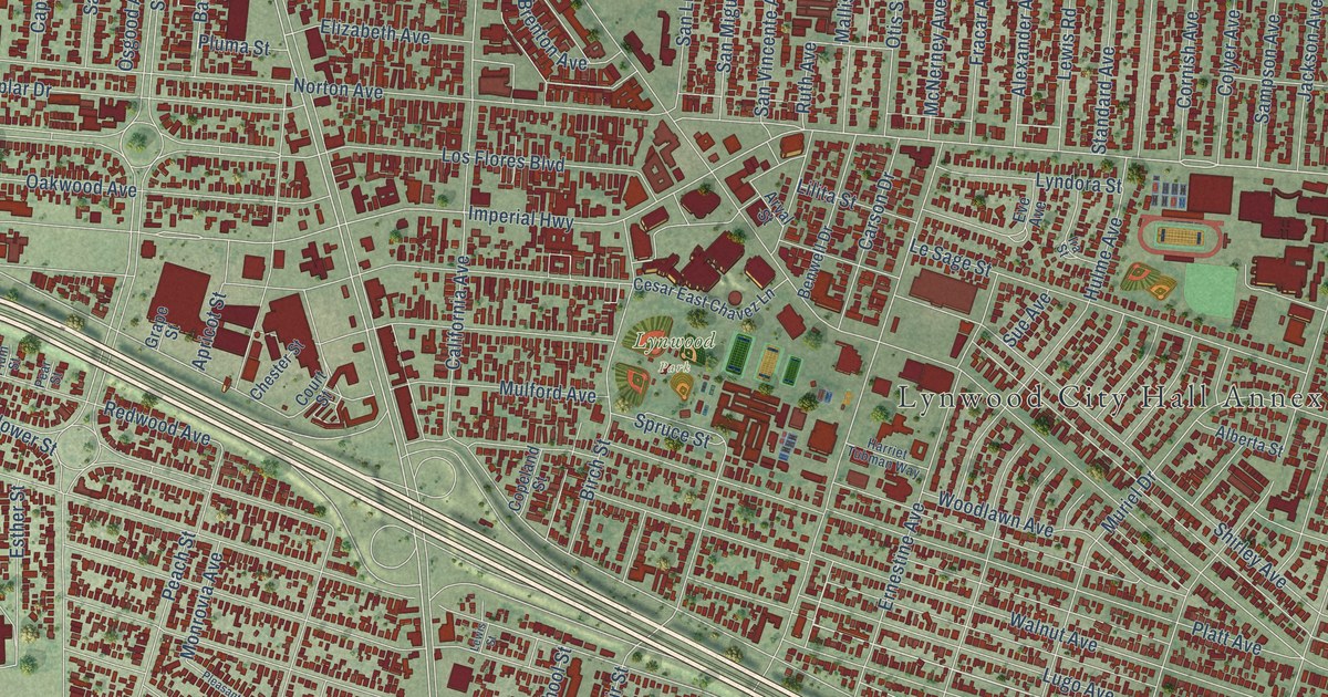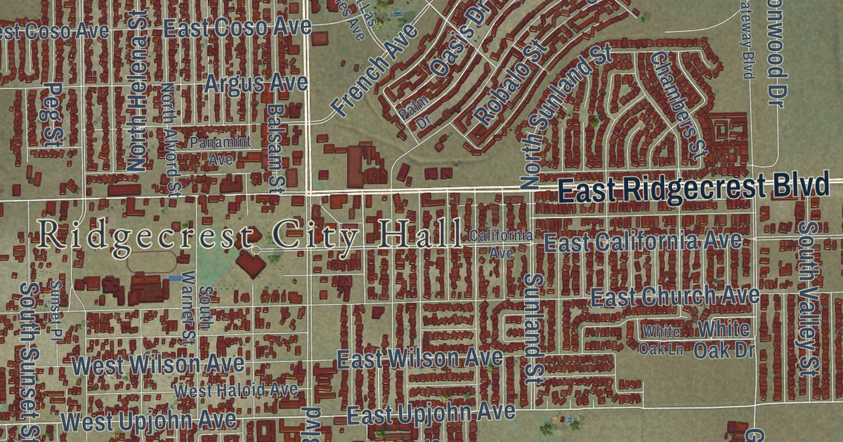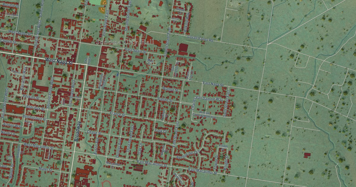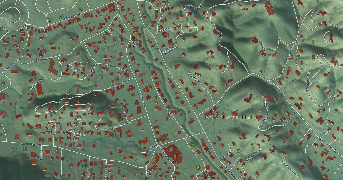
This beautifully detailed map of Ross, California was created in 2026 using aerial imagery combined with modern topographical, census, street and landmark data. It’s a one-of-a-kind view of Ross that combines accurate data with a vintage aesthetic. The map shows every building in its true location, many of the roads carry their names, and the shaded topographic relief shows the shape of the land.
Explore an aerial view of Ross, California
On the map you’ll find Ross Town Hall and Ross Open Space, along with Upper Road, Winship Avenue, Lagunitas Road, Laurel Grove Avenue, Sir Francis Drake Boulevard, Baywood Avenue, Upper Road West, Wellington Avenue, Shady Lane, Winding Way, and more. If you look closely you can even find your house accurately drawn in its correct location. Zoom in on the preview to look for yours.
Did you know this piece of Ross, California history?
Ross incorporated in 1908. Three years later, Annie Ross Worn gave Ross Common to the town, creating a lasting civic space from her family’s former estate. That’s from the Ross Historical Society.
Take a closer look at the Ross map
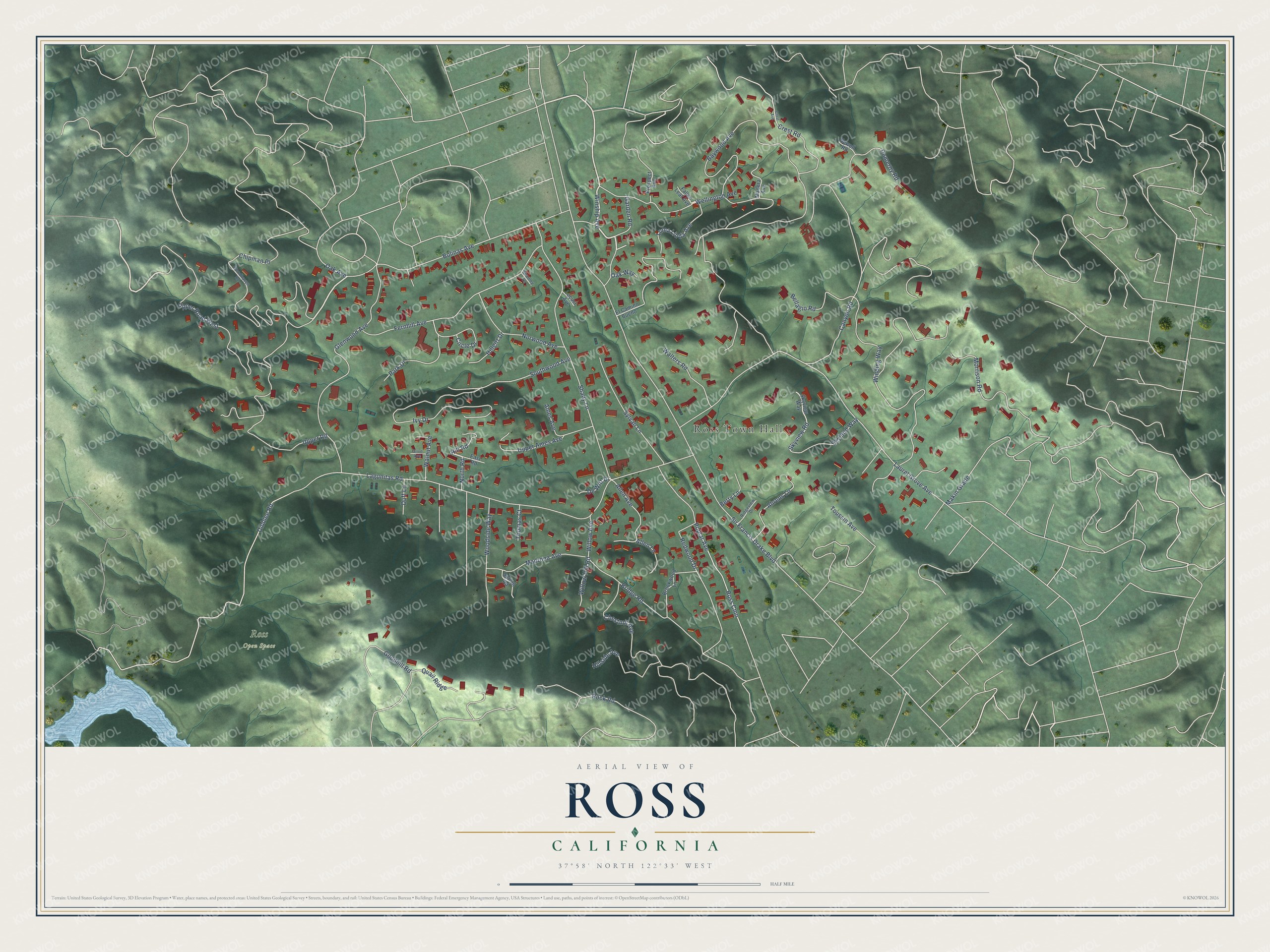
Street and place names on the Ross, California map
These names are printed on the map of Ross, California.
Places: Ross Town Hall and Ross Open Space.
Streets and roads: Upper Road, Winship Avenue, Lagunitas Road, Laurel Grove Avenue, Sir Francis Drake Boulevard, Baywood Avenue, Upper Road West, Wellington Avenue, Shady Lane, Winding Way, Makin Grade, Glenwood Avenue.
More street names, A to Z
Ahrens Lane, Allen Avenue, Allen Lane, Ames Avenue, Bellagio Road, Berry Lane, Bolinas Avenue, Bridge Road, Brookwood Lane, Canyon Road, Chestnut Avenue, Chipman Place, Circle Drive, Crest Avenue, Crest Road, De Witt Drive, Dibblee Road, Duff Lane, East Road, El Camino Bueno, Fallen Leaf Avenue, Fernhill Avenue, Garden Road, Goodhill Road, Hillgirt Drive, Hill Road, Hillside Avenue, Ivy Drive, Locust Avenue, Loma Linda Avenue, Madera Avenue, Madrona Avenue, Morrison Road, Newell Road, North Road, Norwood Avenue, Oak Avenue, Oak Way, Olive Avenue, Park Drive, Pomeroy Road, Poplar Avenue, Prospect Avenue, Quail Ridge, Redwood Drive, Ridgeview Drive, Rock Road, Ross Cmn, Shanley Lane, Skyland Way, Skyview Road, Skyview Way, Southwood Avenue, Spring Road, Sylvan Lane, Thomas Court, Toussin Avenue, Upper Ames Avenue, Walnut Avenue, Walters Road, Willow Avenue, Willow Hill Road, Woodhaven Road, Woodside Way.
See the Ross, California map on a wall
The Ross map as an 18 x 24 inch print in a black frame.

This beautifully detailed map of Ross makes an attractive addition to your office, library, or den, and it can even be used to teach children the geography and history of the area. It also makes a great gift for someone who left Ross and still calls it home. When you’re done exploring, click here to get your copy of the Ross map.