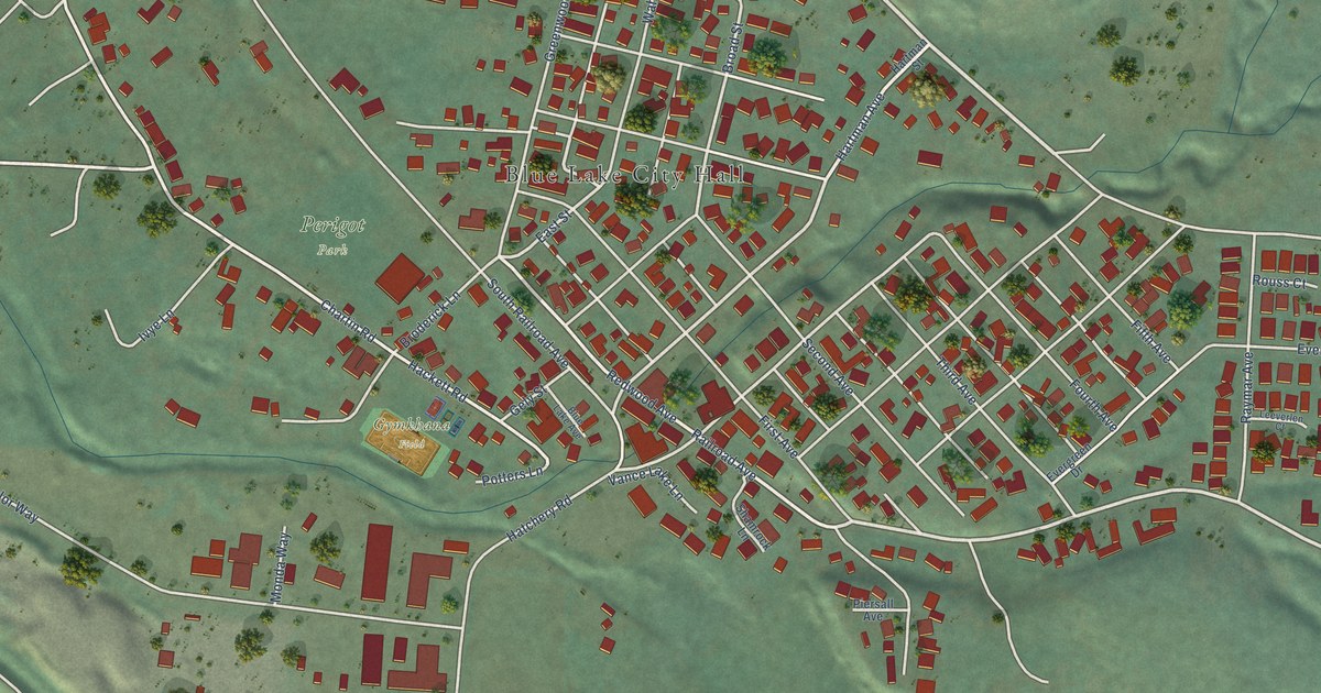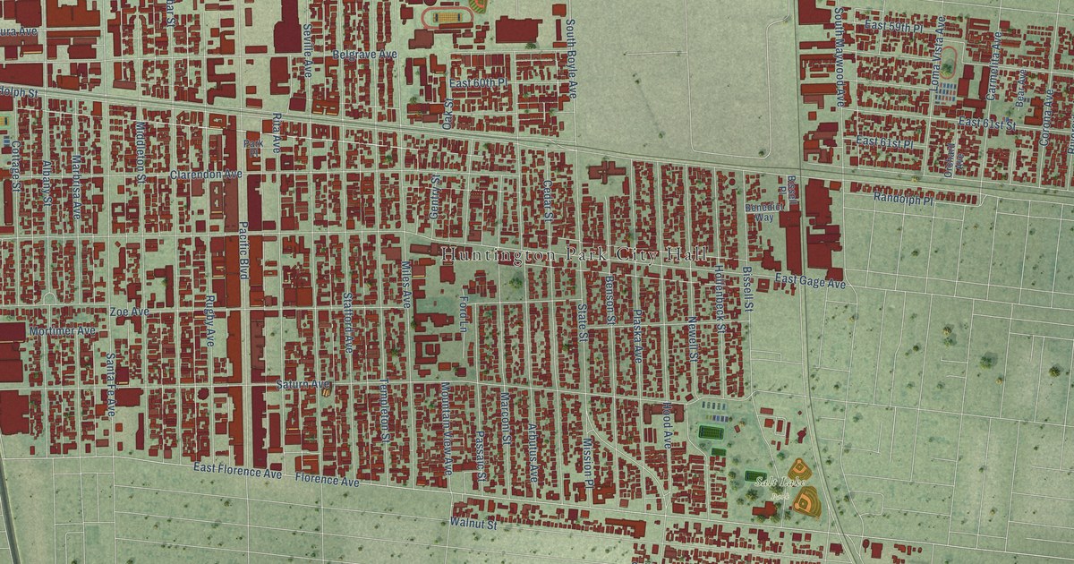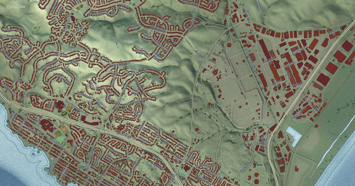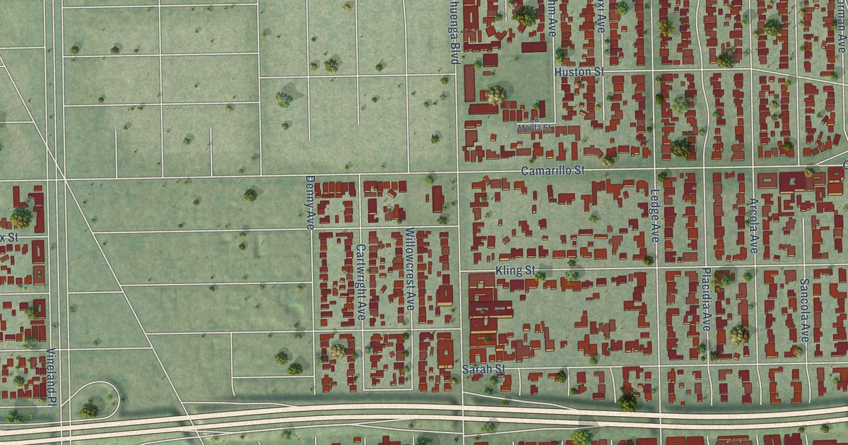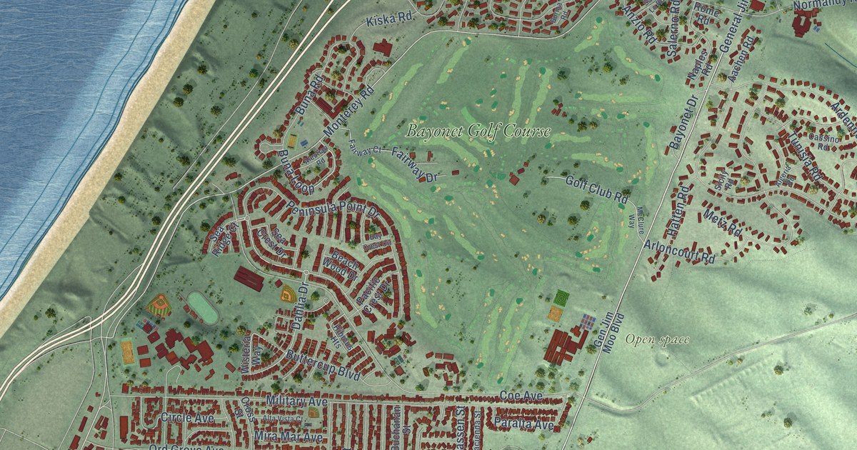
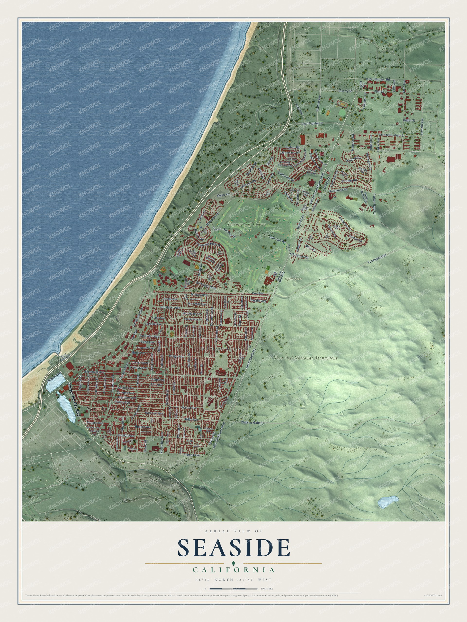
This beautifully detailed map of Seaside, California was created in 2026 using aerial imagery combined with modern topographical, census, street and landmark data. It's a modern aerial view of Seaside in Monterey County, California, that combines modern data with a vintage aesthetic. The roads feature printed names, and if you look closely you can find your exact house accurately shown in its correct location.
Explore an aerial view of Seaside, California
On this map you'll find Seaside City Hall, Del Monte Heights, Fort Ord National Monument, Open space, Bayonet Golf Course, Canyon del Rey Boulevard, North South Road, General Jim Moore Boulevard, Del Monte Boulevard, Darwin Street, Judson Street, Light Fighter Drive, and more. Each red shape is a building, so zoom in on the preview and look for yours.
Seaside is a city in Monterey County. The Census Bureau counted 32,366 people here in 2020. The map prints the town name in its title panel, with the coordinates below it.
Take a closer look at the Seaside map
Names on this map
These names are printed on this map.
Places: Seaside City Hall, Del Monte Heights, Fort Ord National Monument, Open space and Bayonet Golf Course.
Streets and roads: Canyon del Rey Boulevard, North South Road, General Jim Moore Boulevard, Del Monte Boulevard, Darwin Street, Judson Street, Light Fighter Drive, Vallejo Street, Monterey Road, Waring Street, Peninsula Point Drive, Luxton Street.
More street names, A to Z
15th Infantry Avenue, Aachen Road, Aleutian Road, Algeria Road, Alhambra Street, Alta Vista Court, Amador Avenue, Ancon Street, Anzio Road, Ardennes Circle, Arloncourt Road, Arnhem Road, Attu Road, Baker Street, Bataan Road, Bay Crest Circle, Bayonet Drive, Beach Wood Drive, Birch Avenue, Brittany Road, Broadway Avenue, Buchanan Street, Buena Street, Buna Loop, Buna Road, Burma Road, Butler Street, Buttercup Boulevard, Calaveras Street, California Road, Cantu Court, Carentan Road, Carson Street, Cassino Road, Chapel Drive, Charles Avenue, Circle Avenue, Clementina Street, Coe Avenue, Colmar Road, Colonel Durham Street, Contra Costa Street, Costa Street, Cross Street, Dahlia Drive, Divarty Street, Echo Avenue, Eleventh Calvary Avenue, Elm Avenue, Engineer Lane, Eucalyptus Road, Fairway Court, Fairway Drive, Fargo Court, Fifth Avenue, First Avenue, First Street, Flores Street, Fourth Army Road, Fourth Avenue, Fourth Division Avenue, Francis Avenue, Fremont Boulevard, Gen Jim Moo Boulevard, Gen Jim Moore Boulevard, Gigling Road, Golf Club Road, Granada Street, Hacienda Street, Hamilton Avenue, Harcourt Avenue, Harding Street, Hart Street, Hatten Road, Havana Street, Hibicus Heights, Highlander Drive, Highland Street, Hilby Avenue, Hillsdale Street, Hilton Street, Imperial Street, Inter-Garrison Road, Juarez Street, Kalborn Road, Kenneth Street, Kerling Road, Kimball Avenue, Kiska Road, Laguna Street, La Honda Court, La Salle Avenue, Lassen Street, Lincoln Street, Lowell Street, Luzern Street, Luzon Road, Madera Court, Madrid Court, Malmedy Road, Mariposa Street, McClure Way, Mendocino Street, Mescal Street, Metz Road, Military Avenue, Mingo Avenue, Mira Mar Avenue, Mira Monte Avenue, Mulheim Road, Nadina Street, Napa Street, Naples Road, Nijmegen Road, Noche Buena Street, Normandy Road, Noumea Road, Numa Watson Road, Okinawa Road, Olympia Avenue, Olympic Lane, Ord Grove Avenue, Pacific Crest Drive, Palm Avenue, Paralta Avenue, Park Court, Parker Flats, Parker Flats Road, Phoenix Avenue, Playa Avenue, Plumas Avenue, Plumas Lane, Prospect Street, Roberts Avenue, Rome Road, Rousch Avenue, Russell Lane, Saint Lo Road, Saipan Road, Salerno Road, Sand Dunes Drive, San Lucas Street, San Pablo Avenue, Santa Ana Street, Santa Clara Street, Sea Crest Drive, Sea Ridge Court, Second Avenue, Seventh Avenue, Seventh Division Place, Sicily Road, Sierra Avenue, Siller Lane, Sixth Army Avenue, Sixth Avenue, Sixth Division Circle, Skyview Drive, Sonoma Avenue, Soto Street, Terrace Street, The Mall, Trinity Avenue, Tunisia Road, Tweed Place, Wanda Avenue, Watkins Gate Road, Wheeler Street, Williams Avenue, Wisteria Way, Yosemite Street.
Created by KNOWOL in 2026. The buildings are small red shapes, the roads carry their printed names, and shaded relief shows the shape of the land. The title panel reads "AERIAL VIEW OF SEASIDE CALIFORNIA" with 36°36' NORTH 121°51' WEST.
It suits a den, a classroom or a front hall, and it makes a gift for anyone with Seaside roots. Open the preview and find the block you know. See sizes and frames for the Seaside map.