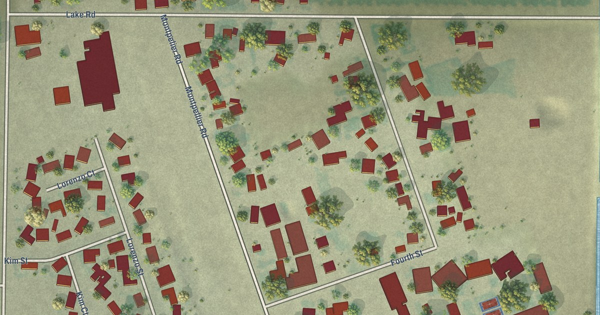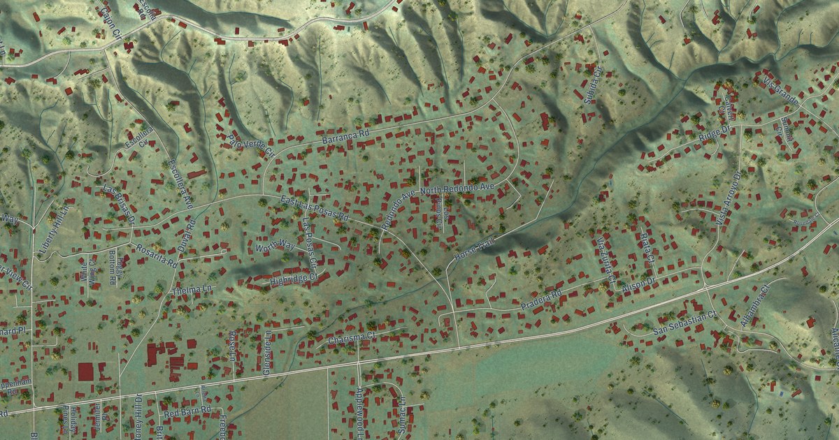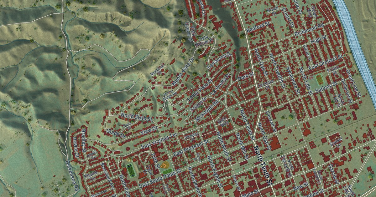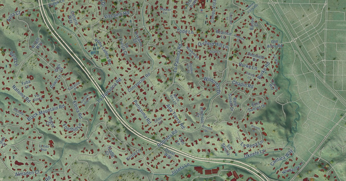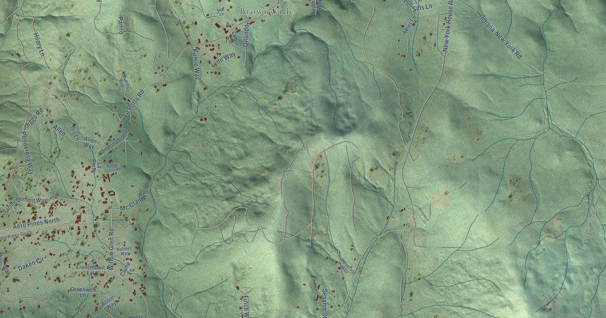
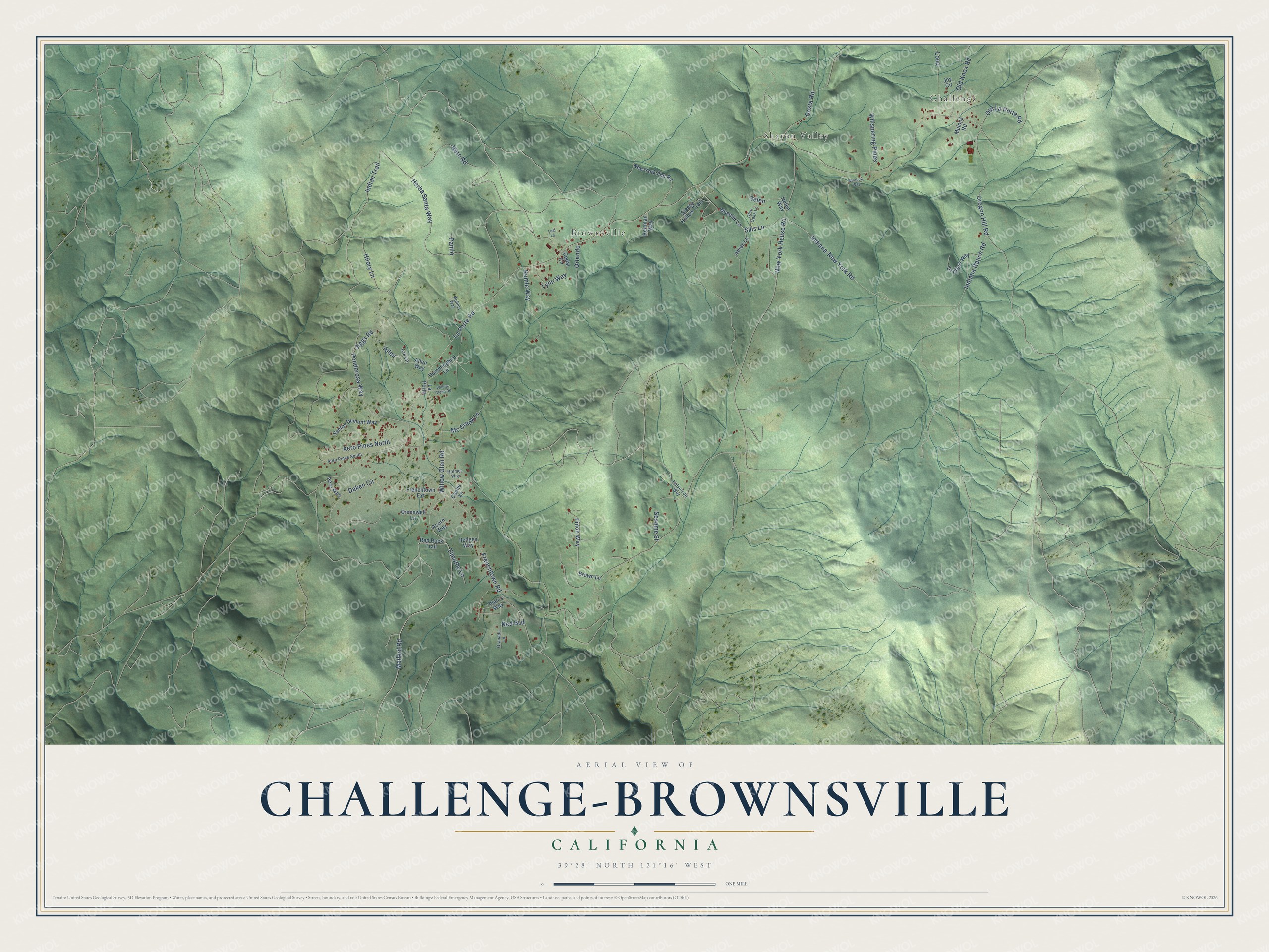
This beautifully detailed map of Challenge-Brownsville, California was created in 2026 using aerial imagery combined with modern topographical, census, street and landmark data. It's a modern aerial view of Challenge-Brownsville in Yuba County, California, that combines modern data with a vintage aesthetic. The roads feature printed names, and if you look closely you can find your exact house accurately shown in its correct location.
Explore an aerial view of Challenge-Brownsville, California
On this map you'll find Challenge, Sharon Valley, Brownsville, New York House Road, Sills Lane, Mallard Road, La Porte Road, Allen, Indiana-New York Road, Herba Santa Way, Willow Glen Road, Ponderosa Way, and more. Each red shape is a building, so zoom in on the preview and look for yours.
Challenge-Brownsville has a story worth telling. Brownsville grew up around a sawmill that I. E. Brown built in August 1851. Brown and his partner John Hoyt kept a hotel in a log house, and when Martin Knox and P. E. Weeks bought them out, they named the place Brownsville in Brown's honor. Nearby Challenge took its name from a lumber mill built on the site in 1856 by Cook and Malory, which A. M. Leach bought in 1874. That's from the 1924 History of Yuba and Sutter Counties.
Challenge-Brownsville is a community in Yuba County. The Census Bureau counted 1,161 people here in 2020.
Take a closer look at the Challenge-Brownsville map
Names on this map
These names are printed on this map.
Places: Challenge, Sharon Valley and Brownsville.
Streets and roads: New York House Road, Sills Lane, Mallard Road, La Porte Road, Allen, Indiana-New York Road, Herba Santa Way, Willow Glen Road, Ponderosa Way, Frenchtown Road, Nero Road, Daken Circle.
More street names, A to Z
Abies Lane, Acorn Way, Aero Pines North, Aero Pines South, Aero Way, Alan's Way, Allen Way, Brown Lane, Cache Lane, Cedar Circle, Costa Road, Cypress Way, Finch Way, Frenchtown Extension, Glen Oaks Lane, Granada Lane, Greenwell Lane, Halverson Way, Hedges Way, Heitman Way, Helen, Helen Way, Hilory Lane, Holmes Way, Hummingbird Lane, Indiana Ranch Road, Indian Trail, Iris Lane, Jiggs Road, Joy Circle, Kumle Way, La Porte, Leal Lane, Loop, Lynn Way, Mc Crank Lane, Mullins Way, Mulock Road, New York Flat Road, Old Knox Road, Old La Porte Road, Oregon Hill Road, Orlando, Pamlo, Rainbow Way, Red Bud, Red Rock Trail, Santos Dumont Way, Sesame Street, Sleepy Hollow Trail, Timothy Lane, Wheeler Lane, Whispering Pines, Willow Glenn Road.
See it on a wall
The Challenge-Brownsville map as a framed print. Swipe for more.


Created by KNOWOL in 2026. The buildings are small red shapes, the roads carry their printed names, and shaded relief shows the shape of the land. The title panel reads "AERIAL VIEW OF CHALLENGE-BROWNSVILLE, CALIFORNIA" with 39°28' NORTH 121°16' WEST.
It looks right in a kitchen, an office or a den, and it's a gift for anyone who grew up in Challenge-Brownsville or moved away. Open the preview and find your street. See sizes and frames for the Challenge-Brownsville map.