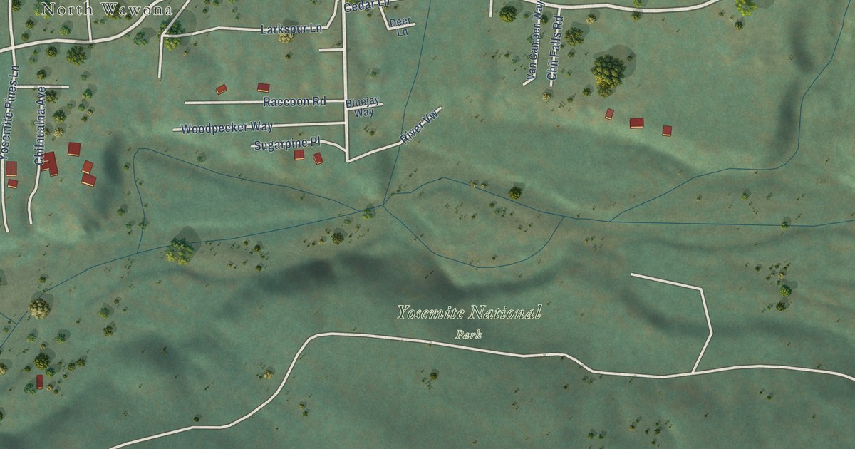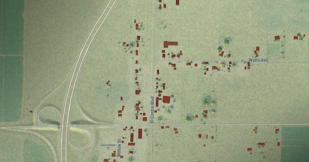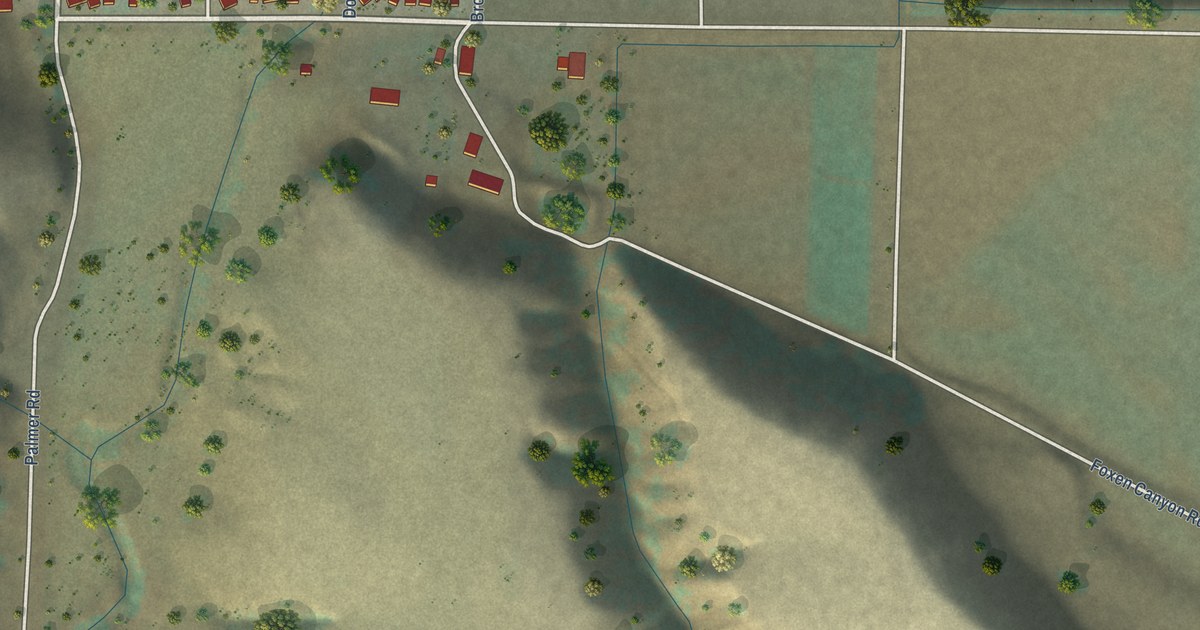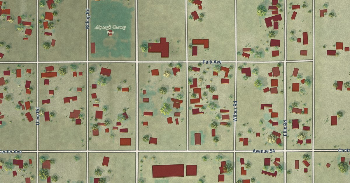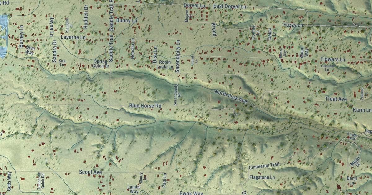
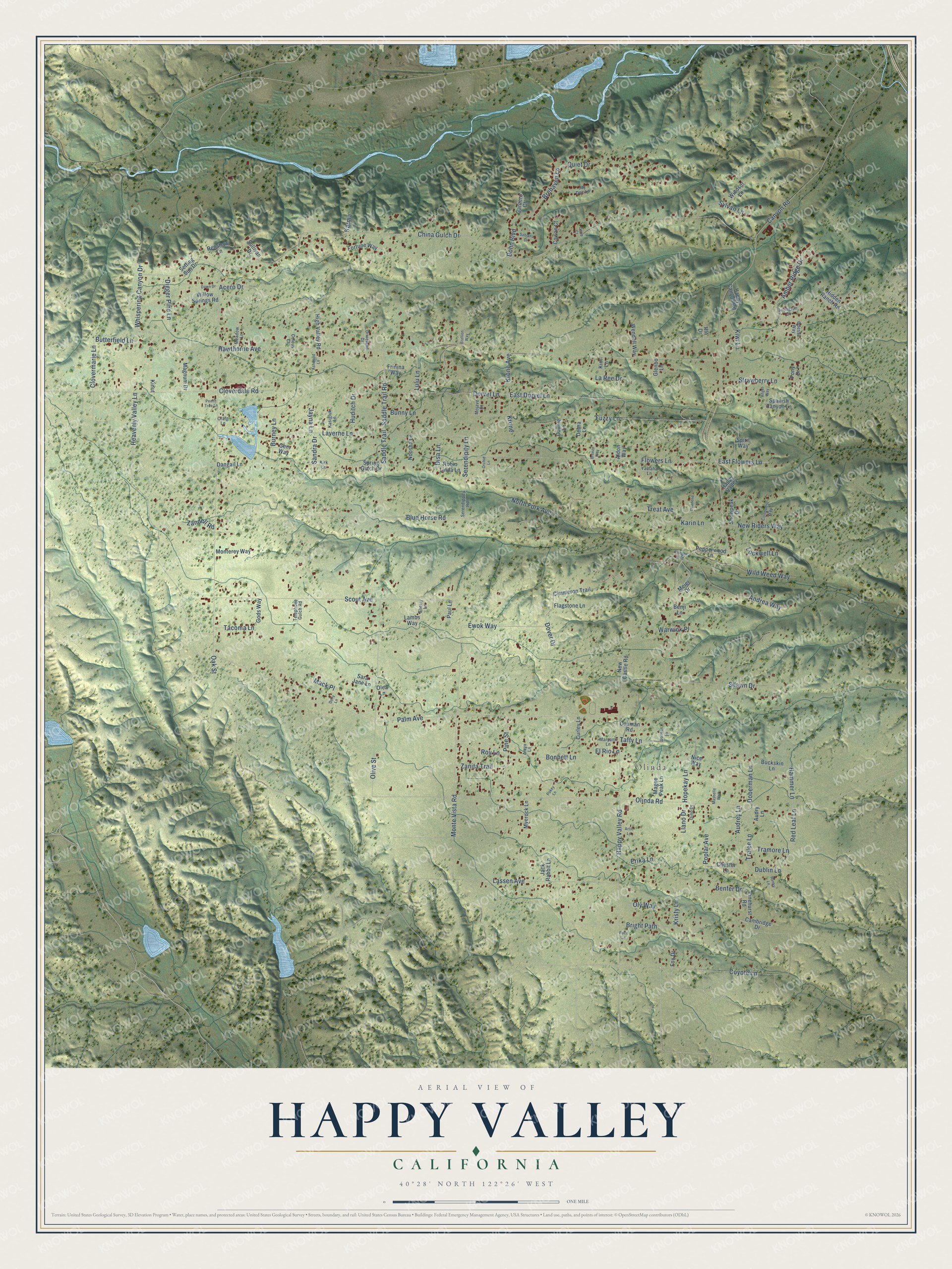
This beautifully detailed map of Happy Valley, California was created in 2026 using aerial imagery combined with modern topographical, census, street and landmark data. It's a modern aerial view of Happy Valley in Shasta County, California, that combines modern data with a vintage aesthetic. The roads feature printed names, and if you look closely you can find your exact house accurately shown in its correct location.
Explore an aerial view of Happy Valley, California
On this map you'll find Olinda, Happy Valley Road, Flowers Lane, East Flowers Lane, Olinda Road, East Dorvel Lane, Krone Avenue, Serendipity Lane, China Gulch Drive, Hawthorne Avenue, Oak Street, Palm Avenue, and more. Each red shape is a building, so zoom in on the preview and look for yours.
Every town has a first chapter, and Happy Valley is no exception. Happy Valley’s schools grew out of three one-room schoolhouses, each teaching first through eighth grade with a single teacher: Cloverdale, founded in 1880, Oak Highland, founded in 1884 and renamed Olinda in 1904, and Beckwith, founded in 1895. Happy Valley Elementary School opened in a new schoolhouse in 1955. The Beckwith School closed around 1920, but by February 1921 the other two schools were growing again. That's from the Happy Valley Union School District.
Happy Valley is a community in Shasta County. The Census Bureau counted 4,949 people here in 2020.
Take a closer look at the Happy Valley map
Names on this map
These names are printed on this map.
Places: Olinda.
Streets and roads: Happy Valley Road, Flowers Lane, East Flowers Lane, Olinda Road, East Dorvel Lane, Krone Avenue, Serendipity Lane, China Gulch Drive, Hawthorne Avenue, Oak Street, Palm Avenue, Heavenly Valley Lane.
More street names, A to Z
Acero Drive, Aldon Way, Amber Ridge Drive, Amyx Lane, Andrea Way, Angel Way, Arlington Court, Artic Lane, Ashwood Lane, Audrey Lane, Audry Lane, Bantry Lane, Benfer Drive, Benji Lane, Blue Horse Road, Bohn Boulevard, Bonnett Lane, Breeze Way, Brehaven Lane, Bright Path, Buckskin Lane, Bunny Lane, Burney Lane, Butterfield Lane, Cambridge Drive, Canyon Road, Cerro Court, Chester Lane, Cimmeron Trail, Cloverdale Road, Clovermarie Lane, Coleus Court, Conman Road, Connie Lane, Conquest Way, Cowan Court, Coyote Lane, Craig Lane, Curley Lane, Dangail Lane, Darlean Lane, Dawn Drive, Deadend Lane, Debra Lane, Digger Pine Lane, Dino Drive, Disa Lane, Dixieland Drive, Doberman Lane, Dolly Lane, Dorvel Lane, Dover Drive, Dublin Lane, El Rio Lane, Erika Lane, Ewok Way, Flagstone Lane, Fortune Way, Fox Drive, Frinina Way, Fuzzy Lane, Garnero Court, Gem Way, Glenbo Lane, Gods Way, Hammer Lane, Happy Canyon Road, Happy Valley, Hidden Ranch Road, High Valley Road, Hopekay Lane, Huditch Drive, Iffn Drive, Jack Rabbit Lane, Jay Dee Lane, Jayna Lane, Karin Lane, Karma, Kasigluk Lane, Kim Lane, Kinut, Kirk Lane, Kiwi Lane, Krieger Boulevard, Kristy Lane, Krone, Lambs Way, La Ree Drive, Lassen Avenue, Laverne Lane, Llano Drive, Lockwell Lane, Lulu Lane, Mack Place, Magee Peak Lane, Magnum Drive, Maryann Lane, Maybelle Way, Meadow Lane, Meier Drive, Mojave Court, Monterey Way, Monte Vista Road, Myerock Lane, New Castle Road, New Riders Way, Nice Way, Noosha Lane, North Fork Avenue, Odessa Way, Olea Lane, Olive Street, Oly Way, Orchid Lane, Paul Lane, Peach Tree Lane, Pepperwood Lane, Pinehurst Road, Pine Street, Poco Lane, Pokey Lane, Pony Drive, Poplar Avenue, Quiet Drive, Red Leaf Lane, Renshaw Lane, Robin Linda Lane, Roy Lane, Sabiana Drive, Saddle Trail, Saddle Trail Road, Sandra Drive, Sara Jane Lane, Scout Avenue, Serendippity Road, Setting Sun Drive, Shawn Drive, Sherry Lane, Snowpeak Drive, Spanish Canyon Lane, Spirit Way, Spring Gulch Drive, Stallion Way, Strawberry Lane, Sullivan Drive, Sylvan Lane, Tacoma Lane, Taffy Lane, Telephone Gulch Road, Tralee Lane, Tramore Lane, Treat Avenue, Warwick Place, Wendell Way, Whispering Canyon Drive, Wild Weed Way, Willow Springs Road, Windsor Lane, Yamaha Lane, Zandell Road, Zanita Trail.
See it on a wall
The Happy Valley map as a framed print. Swipe for more.


Created by KNOWOL in 2026. The buildings are small red shapes, the roads carry their printed names, and shaded relief shows the shape of the land. The title panel reads "AERIAL VIEW OF HAPPY VALLEY, CALIFORNIA" with 40°28' NORTH 122°26' WEST.
Hang it in the hallway, the office or the cabin, or give it to someone who left Happy Valley and still calls it home. Open the preview and look for a street you know. See sizes and frames for the Happy Valley map.