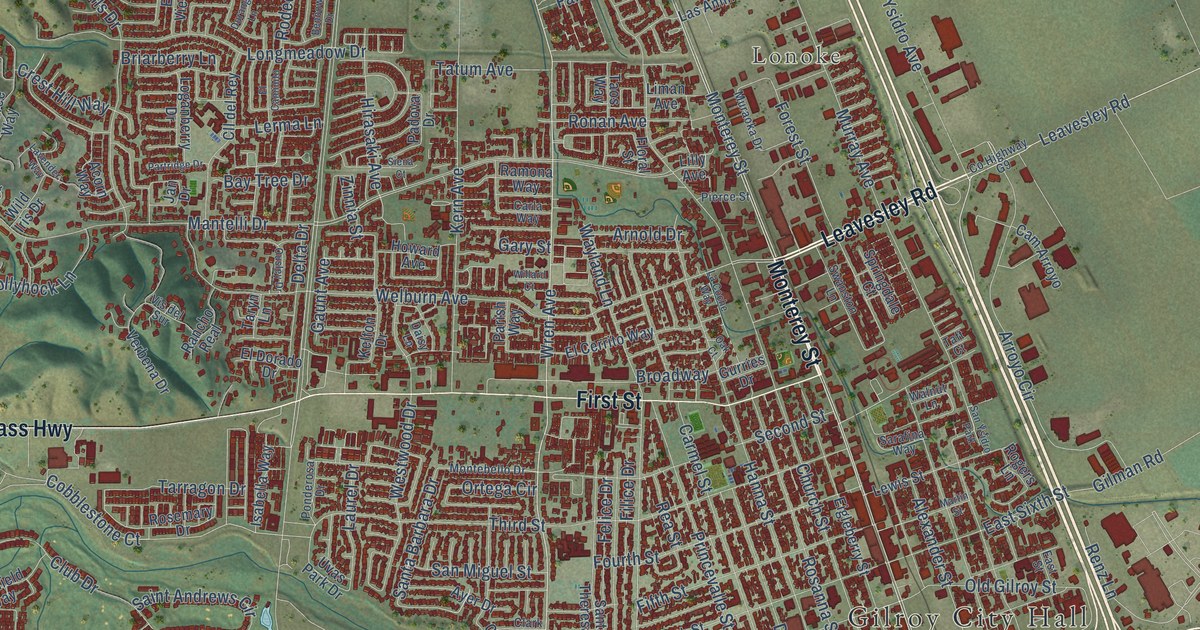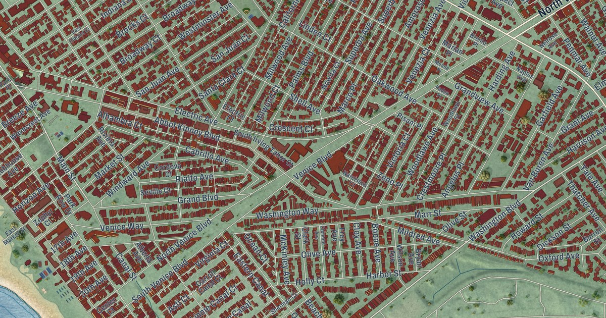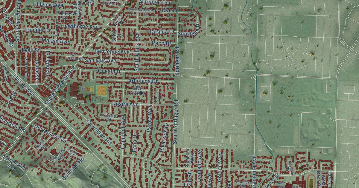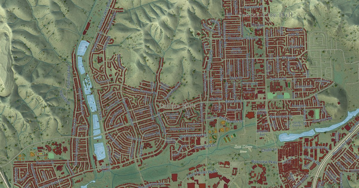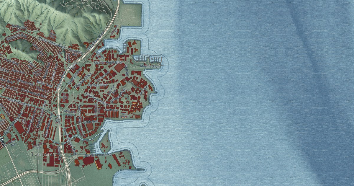
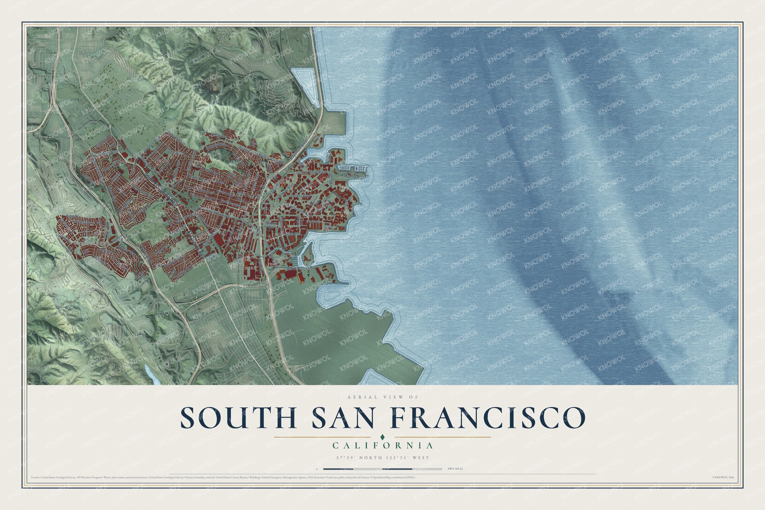
This beautifully detailed map of South San Francisco, California was created in 2026 using aerial imagery combined with modern topographical, census, street and landmark data. It's a modern aerial view of South San Francisco in San Mateo County, California, that combines modern data with a vintage aesthetic. The roads feature printed names, and if you look closely you can find your exact house accurately shown in its correct location.
Explore an aerial view of South San Francisco, California
On this map you'll find Westborough, Baden, Tanforan, El Camino Real, South El Camino Real, Junipero Serra Boulevard, Gateway Boulevard, San Mateo Avenue, Mission Road, Hickey Boulevard, East Grand Avenue, Hillside Boulevard, and more. Each red shape is a building, so zoom in on the preview and look for yours.
South San Francisco has a story worth telling. The National Register of Historic Places puts it this way: "The Bank of South San Francisco built its own Beaux Arts
style temple in 1918 kitty corner from the building, and the land company moved the space
before 1929."
South San Francisco is a city in San Mateo County. The Census Bureau counted 66,105 people here in 2020.
Take a closer look at the South San Francisco map
Names on this map
These names are printed on this map.
Places: Westborough, Baden and Tanforan.
Streets and roads: El Camino Real, South El Camino Real, Junipero Serra Boulevard, Gateway Boulevard, San Mateo Avenue, Mission Road, Hickey Boulevard, East Grand Avenue, Hillside Boulevard, Miller Avenue, Airport Boulevard, Bayshore Boulevard.
More street names, A to Z
Adrian Avenue, Allerton Avenue, Alta Loma Drive, Alta Mesa Drive, Alta Vista Drive, Altura Way, Appian Way, Arlington Drive, Arroyo Drive, Athy Drive, Avalon Drive, Baden Avenue, Bettman Way, Briarwood Drive, Callan Boulevard, Carter Drive, Chestnut Avenue, Circle Court, Colma Creek Serv Road, Commercial Avenue, Crestwood Drive, Del Monte Avenue, Dna Way, Dublin Drive, Dubuque Avenue, Dundee Drive, Duval Drive, East Jamie Court, Eccles Avenue, Escanyo Drive, Evergreen Drive, Executive Drive, First Lane, Forbes Boulevard, Gellert Boulevard, Grand Avenue, Grandview Drive, Greendale Drive, Gull Road, Harbor Way, Hemlock Avenue, Hill Avenue, Holly Avenue, Ida Drive, Julie Lane, King Drive, Knoll Circle, Larch Avenue, Lawndale Boulevard, Leo Circle, Linden Avenue, Littlefield Avenue, Maple Avenue, Marina Boulevard, McLellan Drive, Mitchell Avenue, Myrtle Avenue, Newman Drive, Noor Avenue, North Access Road, Northcrest Drive, Northwood Drive, Oak Avenue, Oakcrest Avenue, Oyster Point Boulevard, Palm Avenue, Park Way, Pecks Lane, Pisa Court, Ponderosa Road, Produce Avenue, Radburn Drive, Randolph Avenue, Rocca Avenue, Rockwood Drive, Romney Avenue, Ryan Way, Second Lane, Serra Drive, Seville Way, Shannon Drive, Shaw Road, Shoreline Court, Sister Cities Boulevard, South Airport Boulevard, South Canal Street, South Linden Avenue, South Maple Avenue, South Spruce Avenue, Spruce Avenue, Swift Avenue, Sylvester Road, Tamarack Lane, Tanforan Avenue, Tara Lane, Third Lane, Utah Avenue, Valverde Drive, Veterans Boulevard, Westborough Boulevard, West Orange Avenue, West Way, Wexford Avenue, Willow Avenue, Wilms Avenue.
Created by KNOWOL in 2026. The buildings are small red shapes, the roads carry their printed names, and shaded relief shows the shape of the land. The title panel reads "AERIAL VIEW OF SOUTH SAN FRANCISCO CALIFORNIA" with 37°39' NORTH 122°25' WEST.
It looks right in a kitchen, an office or a den, and it's a gift for anyone who grew up in South San Francisco or moved away. Open the preview and find your street. See sizes and frames for the South San Francisco map.