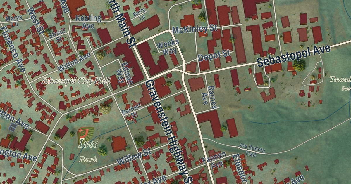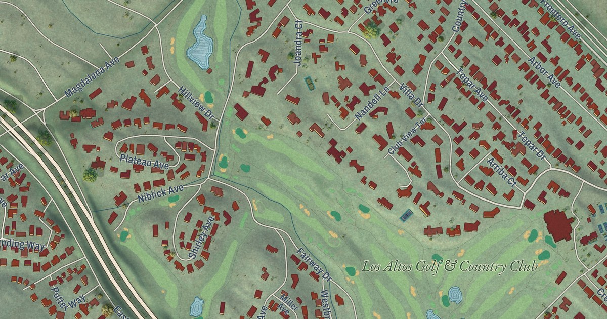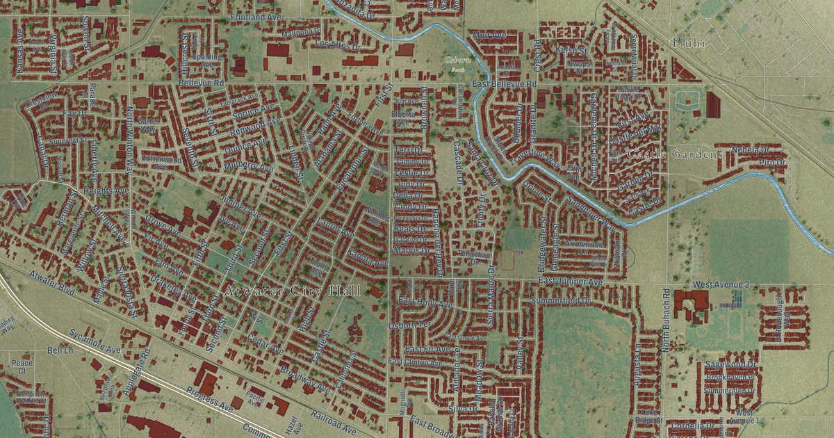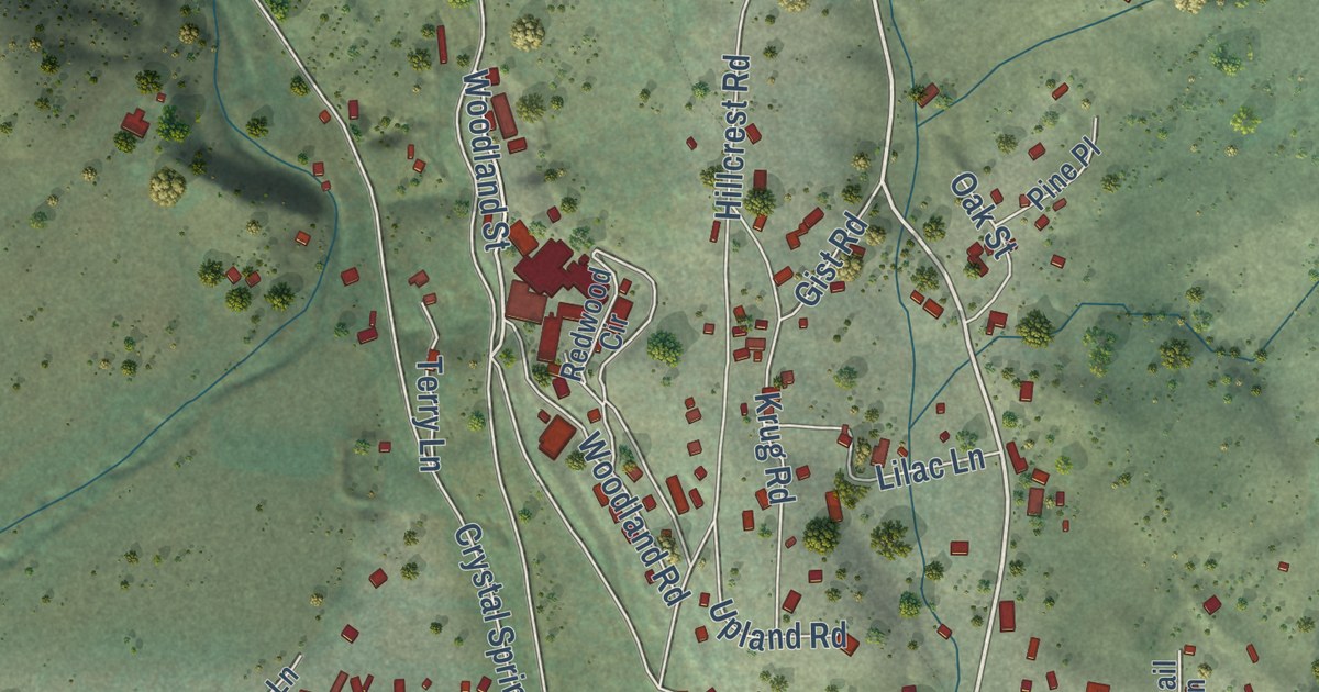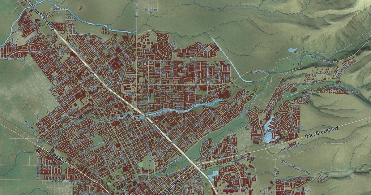
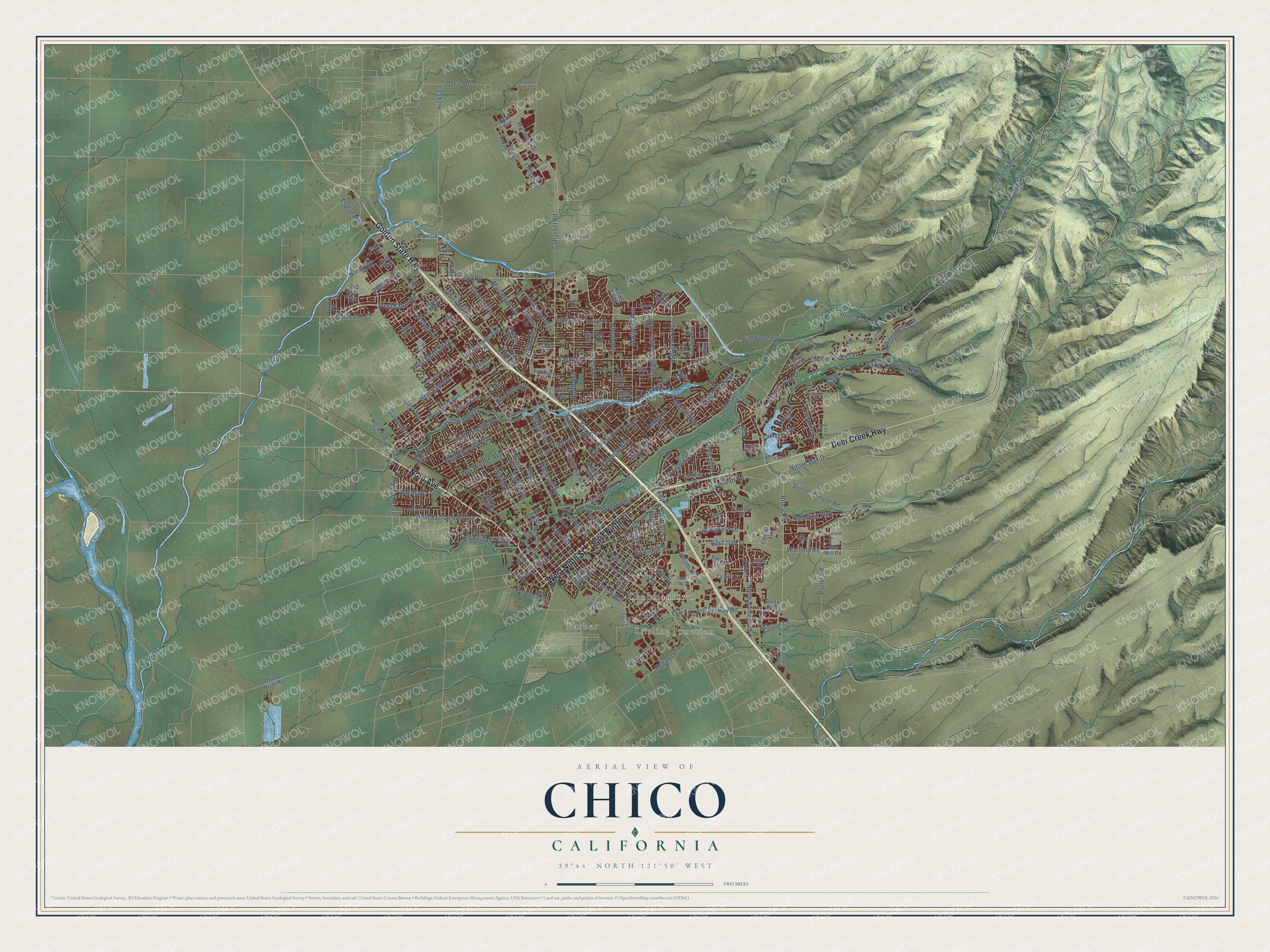
This beautifully detailed map of Chico, California was created in 2026 using aerial imagery combined with modern topographical, census, street and landmark data. It’s a one-of-a-kind view of Chico that combines accurate data with a vintage aesthetic. The map shows every building in its true location, many of the roads carry their names, and the shaded topographic relief shows the shape of the land.
Explore an aerial view of Chico, California
On the map you’ll find Stirling Junction, Barber, and Chapmantown, along with Golden State Highway, Nord Avenue, East Ninth Street, West Ninth Street, Deer Creek Highway, Eaton Road, East Avenue, Bruce Road, East First Avenue, and more. If you look closely you can even find your house accurately drawn in its correct location. Zoom in on the preview to look for yours.
Did you know this piece of Chico, California history?
From the California State Parks: "In 1860, Bidwell helped lay out the town of Chico, which he named."
Take a closer look at the Chico map
Street and place names on the Chico, California map
These names are printed on the map of Chico, California.
Places: Stirling Junction, Barber and Chapmantown.
Streets and roads: Golden State Highway, Nord Avenue, East Ninth Street, West Ninth Street, Deer Creek Highway, Eaton Road, East Avenue, Bruce Road, East First Avenue, West Lindo Avenue, East Lindo Avenue, West East Avenue.
More street names, A to Z
Abbott Circle, Alamo Avenue, Almendia Drive, Arbutus Avenue, Arcadian Avenue, Arch Way, Aztec Drive, Baney Lane, Bar Triangle Street, Bidwell Avenue, Boeing Avenue, Boucher Street, Bridle Lane, Bruce Street, Burnap Avenue, Cactus Avenue, California Park Drive, Calistoga Drive, Calla Lane, Canyon Oaks Terrace, Catherine Court, Ceanothus Avenue, Ceres Avenue, Chico Canyon Road, Chico River Road, Citrus Avenue, Cohasset Lane, Cohasset Road, Concord Avenue, Cramer Lane, Crister Avenue, Dale Way, Degarmo Drive, Delaney Drive, Denali Drive, Diablo Avenue, Doe Mill Road, Dog Leg Drive, East 16th Street, East 20th Street, East 23rd Street, East Eighth Street, East Fifth Avenue, East Lassen Avenue, East Park Avenue, Ellene Avenue, Elm Street, El Paso Way, Esplanade, Estes Road, Fair Street, Fenced Road, Filbert Avenue, Fir Street, Floral Avenue, Flume Street, Forest Avenue, Fortress Street, Gallatin Gtwy, Garden Park Drive, Garner Lane, Glenwood Avenue, Godman Avenue, Golf Course Road, Grant Avenue, Greenwich Drive, Grumman Avenue, Guill Street, Guynn Avenue, Hartford Drive, Hawthorne Avenue, Hazel Street, Hegan Lane, Hemlock Street, Henshaw Avenue, Hicks Lane, Hooker Oak Avenue, Humboldt Road, Husa Lane, Idyllwild Circle, Invader Street, Ivy Street, Jasper Drive, Josie Court, Karen Drive, Keri Lane, Kettle Creek, Lakewest Drive, Lazy South Lane, Legion Avenue, Levi Lane, Longwood Drive, Lorinda Lane, Lucy Way, Lupin Avenue, Madrone Avenue, Magnolia Avenue, Main Street, Mangrove Avenue, Manzanita Avenue, Marauder Street, Marigold Avenue, Mariposa Avenue, Memorial Way, Mission Ranch Boulevard, Modoc Drive, Morrow Lane, Morseman Avenue, Mort Drive, Moyer Way, Native Oak Drive, Nord Highway, Normal Avenue, North Avenue, North Cedar Street, Notre Dame Boulevard, Noyo Court, Oak Drive, Oak Street, Oak Way, Oasis Drive, Old Chico Canyon Road, Oleander Avenue, Orange Street, Otterson Drive, Palmetto Avenue, Panama Avenue, Park Avenue, Patricia Drive, Peterson Memorial Way, Picholine Way, Pillsbury Road, Pine Street, Pomona Avenue, Potter Road, Quista Drive, Raley Boulevard, Rio Lindo Avenue, Risa Way, Rogue River Drive, Roth Street, Ruth Lane, Ryan Avenue, Salem Street, Shadowtree Lane, Shady Brook Lane, Shadybrook Lane, Shallow Springs Terrace, Shari Lane, Sheridan Avenue, Sierra Sunrise Terrace, Silverbell Road, Silver Lake Drive, Skyway Road, South Park Drive, Sparrow Hawk Lane, Springfield Drive, Spruce Avenue, Sterling Oaks Drive, Stewart Avenue, Stilson Canyon Road, Sunset Avenue, Sycamore Drive, Talbert Drive, Thorntree Drive, Todd Court, Tom Polk Avenue, Tonea Way, Tulip Drive, Upper Park Road, Vail Drive, Valley Forge Drive, Vallombrosa Avenue, Vega Way, Warfield Road, Warner Street, West 16th Street, West 18th Street, West Eaton Road, West Eighth Avenue, West Eleventh Avenue, West Fifth Street, West Lassen Avenue, West Sacramento Avenue, West Shasta Avenue, West Twelfth Avenue, West Twelfth Street, White Avenue, Whitewood Way, Whitman Avenue, Wildwood Avenue, Woodland Avenue, Yosemite Drive, Zanella Way.
See the Chico, California map on a wall
The Chico map as an 18 x 24 inch print in a black frame.

This beautifully detailed map of Chico makes an attractive addition to your office, library, or den, and it can even be used to teach children the geography and history of the area. It also makes a great gift for anyone who grew up in Chico or moved away. When you’re done exploring, click here to get your copy of the Chico map.