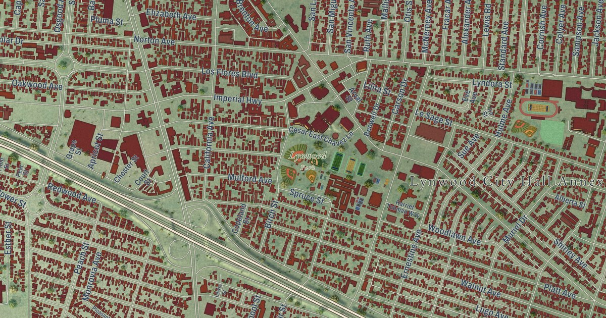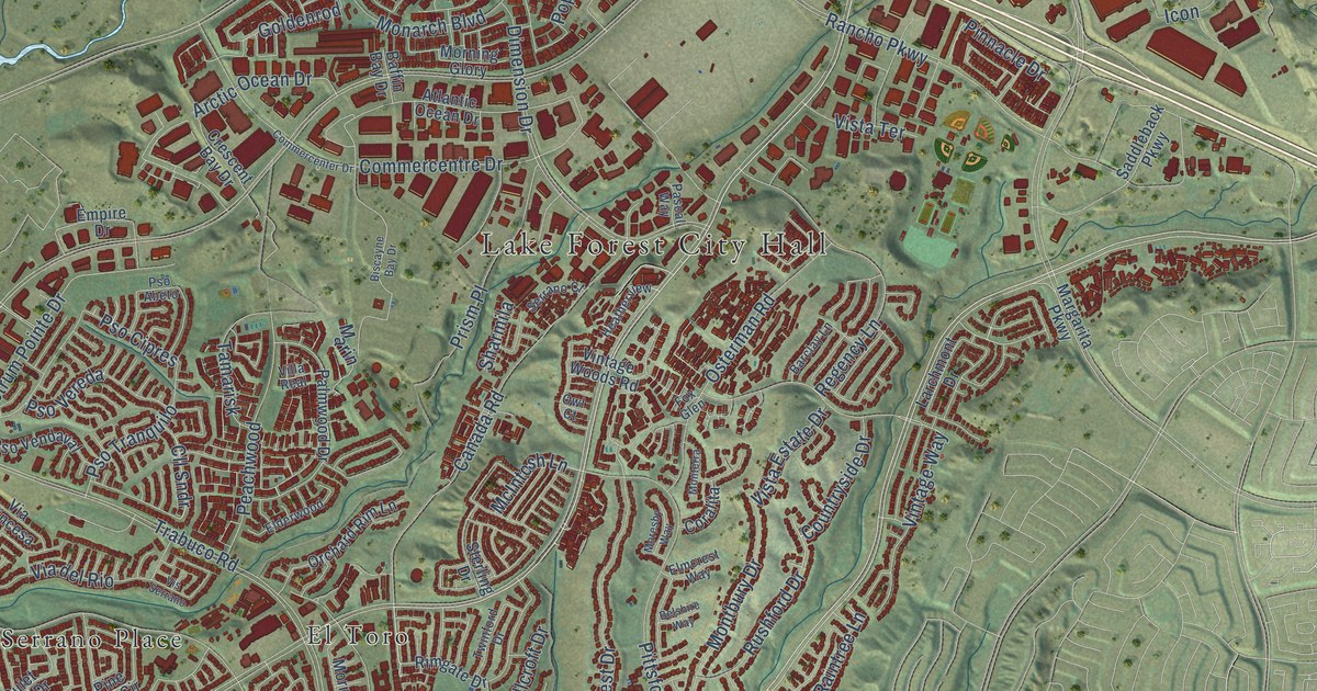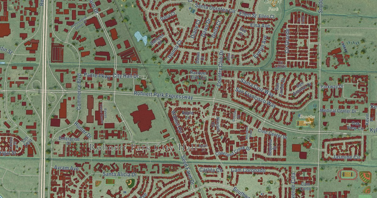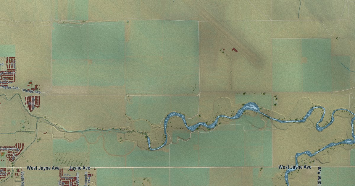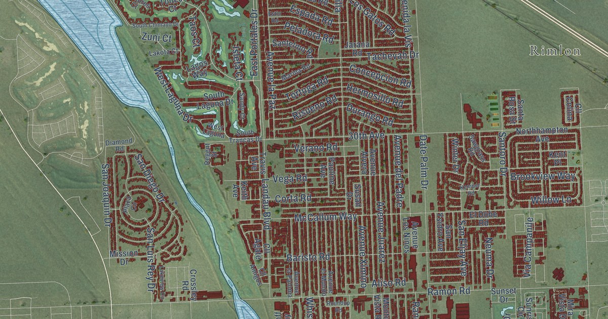
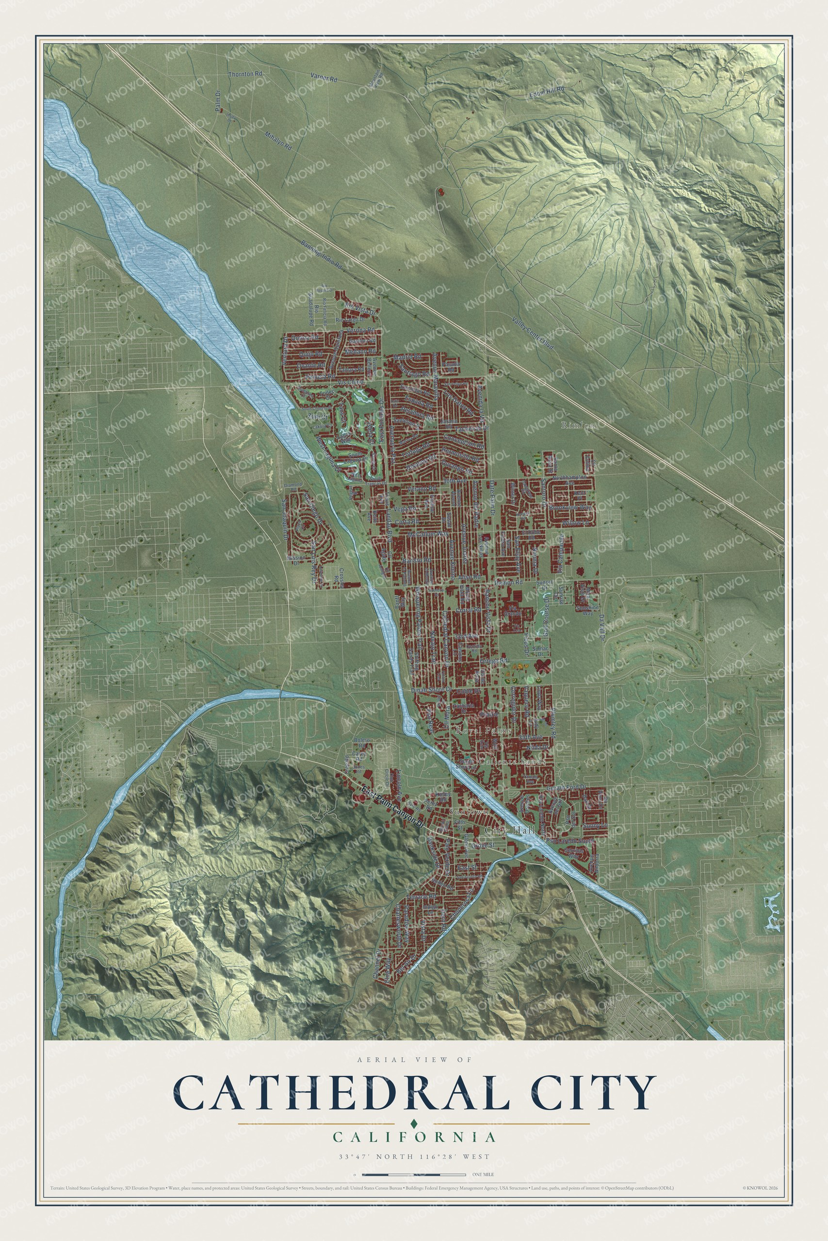
This beautifully detailed map of Cathedral City, California was created in 2026 using aerial imagery combined with modern topographical, census, street and landmark data. It's a modern aerial view of Cathedral City in Riverside County, California, that combines modern data with a vintage aesthetic. The roads feature printed names, and if you look closely you can find your exact house accurately shown in its correct location.
Explore an aerial view of Cathedral City, California
On this map you'll find City Hall, Suntown, Caliente Sands, Royal Palms, Rimlon, East Palm Canyon Drive, Verona Road, East Portales Drive, Pso Laredo South, Ventura Drive, Cll Mora, Sunny Lane, and more. Each red shape is a building, so zoom in on the preview and look for yours.
Cathedral City is a city in Riverside County. The Census Bureau counted 51,493 people here in 2020. The map prints the town name in its title panel, with the coordinates below it.
Take a closer look at the Cathedral City map
Names on this map
These names are printed on this map.
Places: City Hall, Suntown, Caliente Sands, Royal Palms and Rimlon.
Streets and roads: East Palm Canyon Drive, Verona Road, East Portales Drive, Pso Laredo South, Ventura Drive, Cll Mora, Sunny Lane, Varner Road, Date Palm Drive, Cathedral Canyon Drive, Ramon Road, Da Vall Drive.
More street names, A to Z
30th Avenue, 33rd Avenue, 35th Avenue, Aliso Road, Avenida la Vis, Avenue Alvera, Avenue Andorra, Avenue Belleza, Avenue del Padre, Avenue del Sol, Avenue el Mundo, Avenue Juarez, Avenue la Paloma, Avenue la Paz, Avenue Los Ninos, Avenue Maravilla, Avenue Orontes, Avenue Quintana, Avenue Ximino, Banff Way, Bankside Drive, Banning-Indio Road, Baristo Road, Bel Air Drive, Bolero Road, Brookview Way, Campus Lane, Carey Road, Cerritos Way, Channel Drive, Charlesworth Drive, Chuperosa Lane, Cll Agate, Cll Amigos, Cll Colina, Club Circle Drive, Coble Drive, Concepcion Road, Corral Road, Corregidor Drive, Corta Road, Cree Road, Crossley Road, Cumbres Court, Dali Drive, Da Vinci Drive, Diamond Road, Dinah Shore Drive, Dorn Road, Durango Road, East Street, Edom Hill Road, El Dobe Road, Elna Way, Encinitas Road, Espada Road, Estio Road, Ficus Drive, Fifth Street, Garbino Road, Gerald Ford Drive, Glenn Avenue, Golf Course Drive, Grove Street, Hermosillo Road, Indigo Lane, Insley Drive, Isleta Court, Jarana Road, Jones Road, Judy Lane, Keith Avenue, Kemper Road, Kent Place, Kieley Road, Kyle Road, Lagos Way, Lakeview Circle, Lakota Court, Landau Boulevard, Lincoln Avenue, Linda Way, Los Gatos Road, Madrid Road, Marina Road, McCallum Way, Medano Road, Mihalyo Road, Mira Vista Drive, Mission Drive, Monte Vista Road, Mountain View Road, Navajo Trail, Neuma Drive, Nilda Drive, Northhampton Avenue, Ocotillo Road, Ontina Road, Ortega Road, Ovante Road, Palm Drive, Palo Verde Drive, Paradise Way, Pasada Road, Pauline Avenue, Peineta Road, Peladora Road, Perez Road, Plaza Circle, Plumley Road, Prairie, Pso del Sol, Pso Laredo North, Pso Real, Pueblo Trail, Quijo Road, Rancho Vista Drive, Regent Street, Rio Felicia Road, Rio Guadalupe Road, Rio Largo Drive, Rio Rosalia Drive, Rio Vista Drive, Risueno Road, Rodeo Road, Roundup Road, San Diego Drive, Sandy Court, San Eljay Avenue, San Felipe Road, San Jacinto Road, San Joaquin Drive, San Luis Rey Drive, Santa Rosa Street, Santelmo Road, Santiago Road, Santoro Drive, San Ysidro Avenue, Sawgrass Road, Shifting Sands Trail, South Chimayo Drive, South Laguna Drive, South Shore Lane, South Trancas Drive, Sumac Drive, Sunair Plaza, Sunrise Circle, Sunset Drive, Sunshine Way, Susan Drive, Tachevah Drive, Tamala Avenue, Tamara Road, Taos Court, Terrace Road, Thornton Road, Toltec Court, Tortuga Road, Travis Avenue, Valley Center Boulevard, Vaquero Road, Vega Road, Verano Road, Via Campanile, Via de Anza, Via Echo, Via Grande, Via Yolo, Village Drive, Vis Chino, Vista Drive, West Laguna, West Laguna Drive, Whispering Palms Trail, Willow Lane, Winter Drive, Wolf, Zacharia Drive, Zuni Court.
Created by KNOWOL in 2026. The buildings are small red shapes, the roads carry their printed names, and shaded relief shows the shape of the land. The title panel reads "AERIAL VIEW OF CATHEDRAL CITY CALIFORNIA" with 33°47' NORTH 116°28' WEST.
It looks right in a kitchen, an office or a den, and it's a gift for anyone who grew up in Cathedral City or moved away. Open the preview and find your street. See sizes and frames for the Cathedral City map.