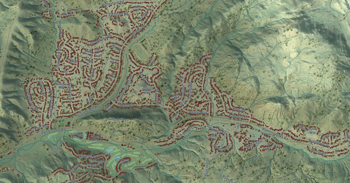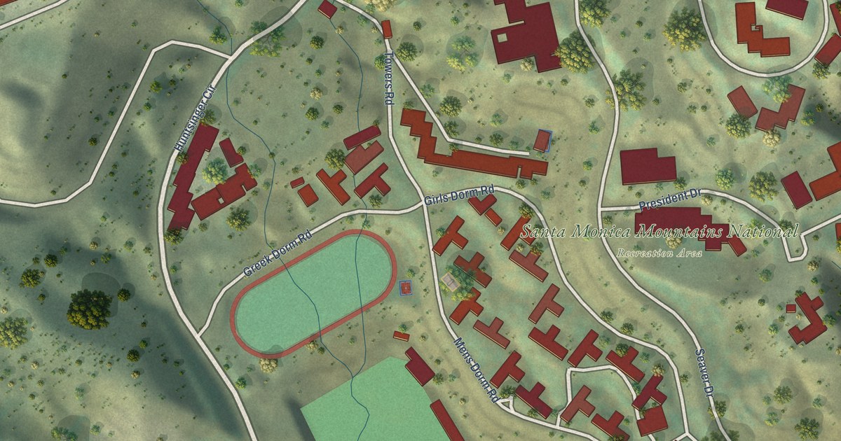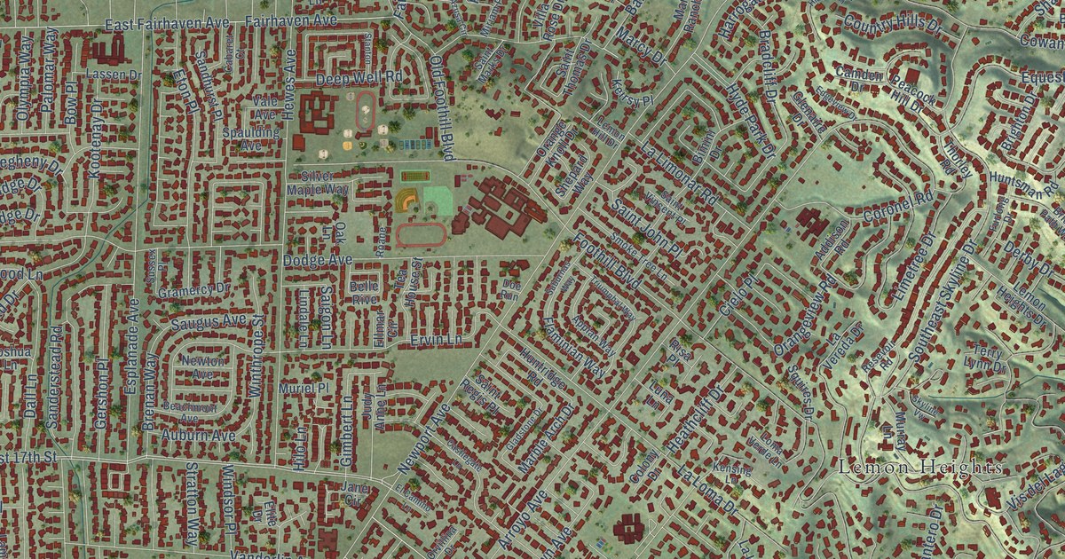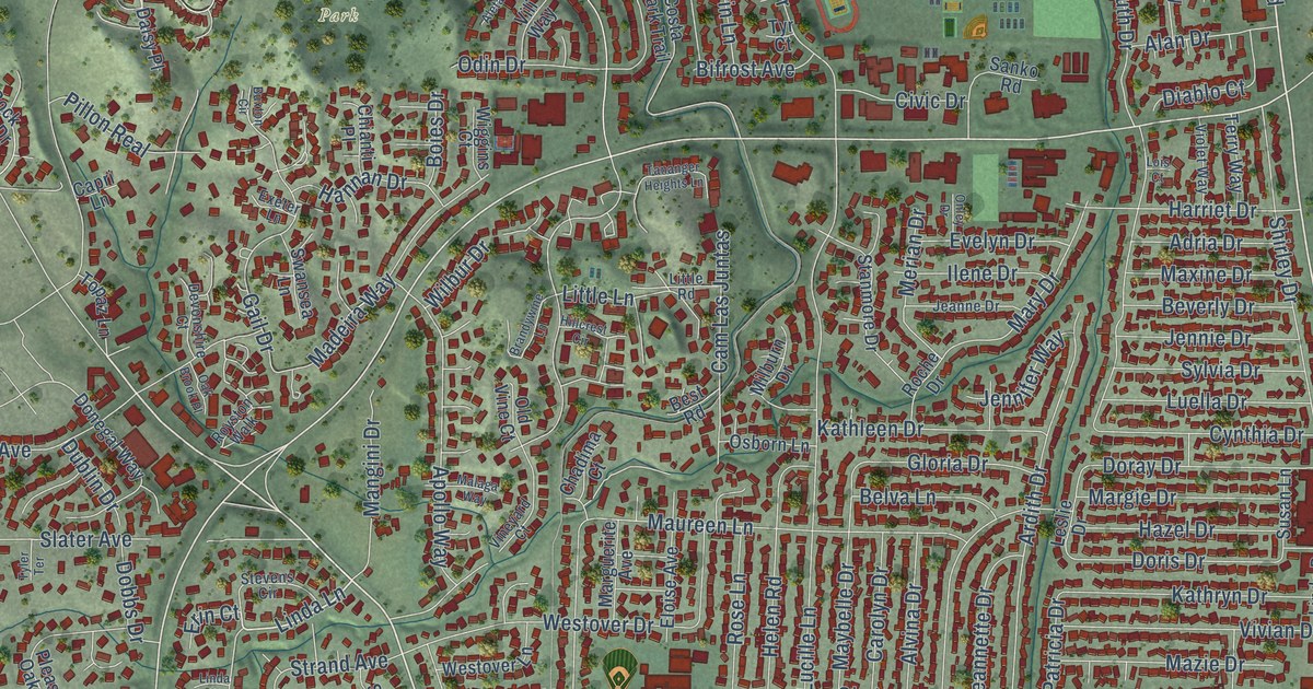
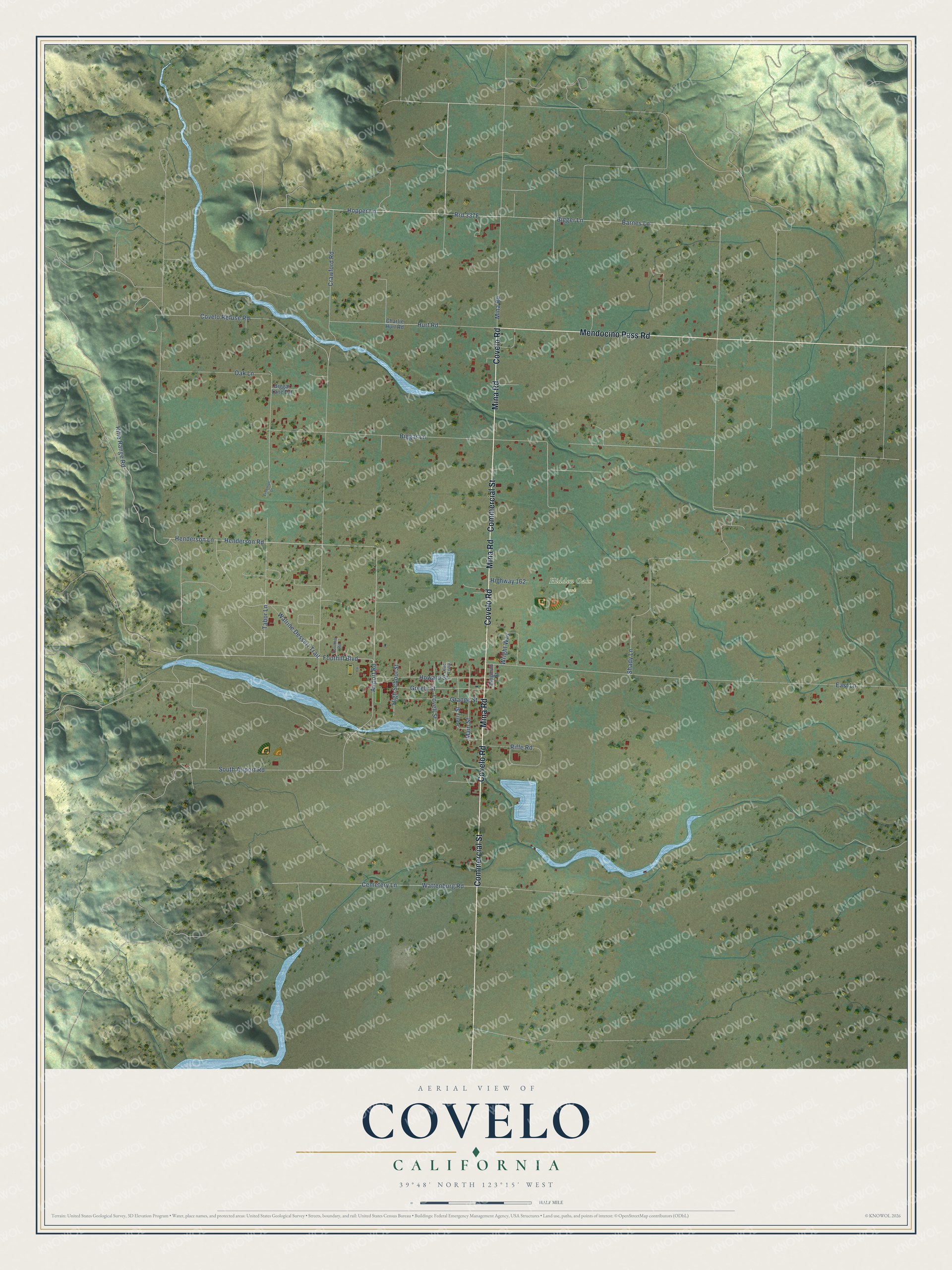
This beautifully detailed map of Covelo, California was created in 2026 using aerial imagery combined with modern topographical, census, street and landmark data. It's a modern aerial view of Covelo in Mendocino County, California, that combines modern data with a vintage aesthetic. The roads feature printed names, and if you look closely you can find your exact house accurately shown in its correct location.
Explore an aerial view of Covelo, California
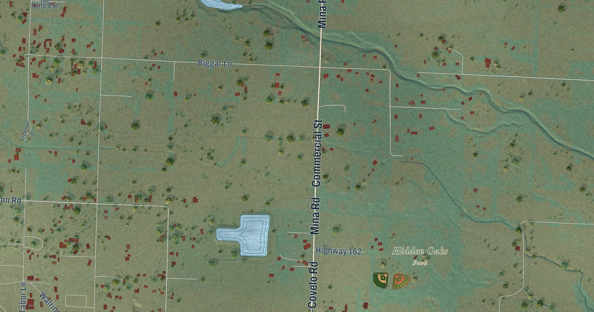
On this map you'll find Hidden Oaks Park, Commercial Street, Covelo Road, Mina Road, Mendocino Pass Road, Hopper Lane, Rrd 337F, Henderson Road, Henderson Lane, Foothill Boulevard, Biggar Lane, Barnes Lane, and more. Each red shape is a building, so zoom in on the preview and look for yours.
Covelo has a story worth telling. Round Valley, where Covelo stands, has been the heart of Yuki territory since time began, and the Yuki are the only California tribe to live continuously on their ancestral homeland. Other tribes were forced into the valley after the reservation began in 1856, and in 1936 their descendants formed the tribe now called the Round Valley Indian Tribes. The confederated tribes are the Yuki, Wailacki, Concow, Little Lake Pomo, Nomlacki and Pit River peoples. Each year the Nome Cult Walk retraces one of the forced marches into the valley, which the old and sick often did not survive. That's from the Round Valley Indian Tribes.
Covelo is a community in Mendocino County. The Census Bureau counted 1,394 people here in 2020.
Take a closer look at the Covelo map
Names on this map
These names are printed on this map.
Places: Hidden Oaks Park.
Streets and roads: Commercial Street, Covelo Road, Mina Road, Mendocino Pass Road, Hopper Lane, Henderson Road, Henderson Lane, Foothill Boulevard, Biggar Lane, Barnes Lane, Bigger Lane, Crawford Road.
More street names, A to Z
Airport Road, Biggar Lane Extension, Cemetery Lane, Charlie Hurt Road, Covelo Refuse Road, Dingman Street, East Lane, Foothill Road, Freeman Drive, Grange Street, Greely Street, High School Street, Highway 162, Howard Street, Hurt Road, Lilac Loop, Lovell Street, Main Street, Oak Lane, Perry Street, Riffe Road, Rifle Range Road, Shady Lane, South Airport Road, Tabor Lane, Walrine Dessert Trail, Wattenburg Road, Wright Way.
See it on a wall
The Covelo map as a framed print. Swipe for more.


Created by KNOWOL in 2026. The buildings are small red shapes, the roads carry their printed names, and shaded relief shows the shape of the land. The title panel reads "AERIAL VIEW OF COVELO, CALIFORNIA" with 39°48' NORTH 123°15' WEST.
It looks right in a kitchen, an office or a den, and it's a gift for anyone who grew up in Covelo or moved away. Open the preview and find your street. See sizes and frames for the Covelo map.