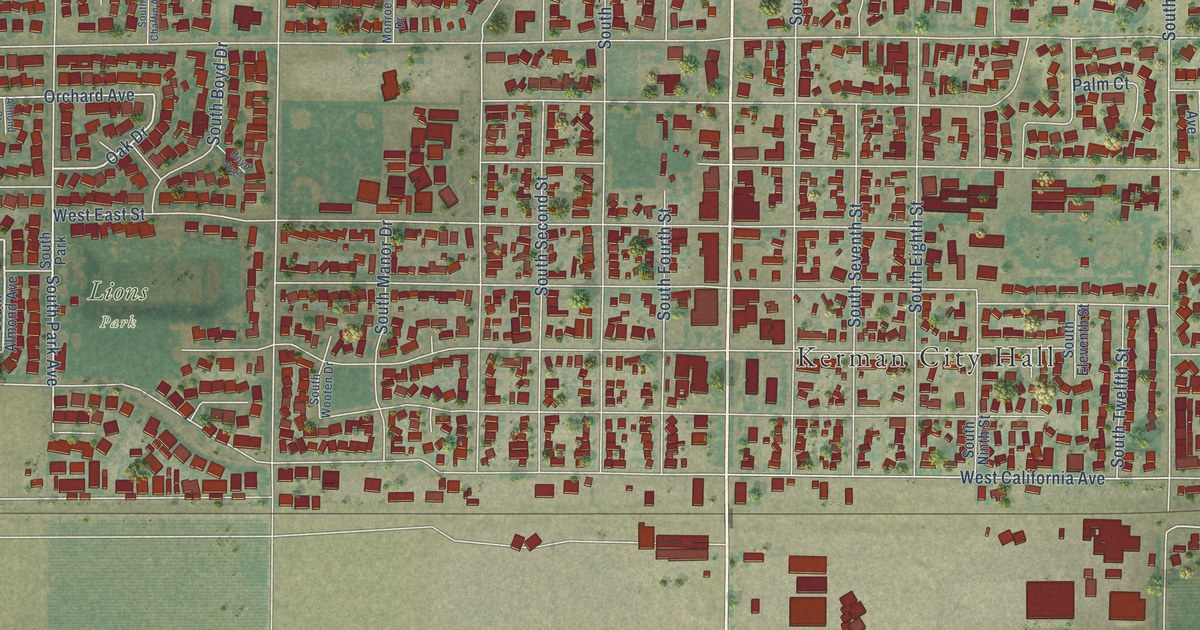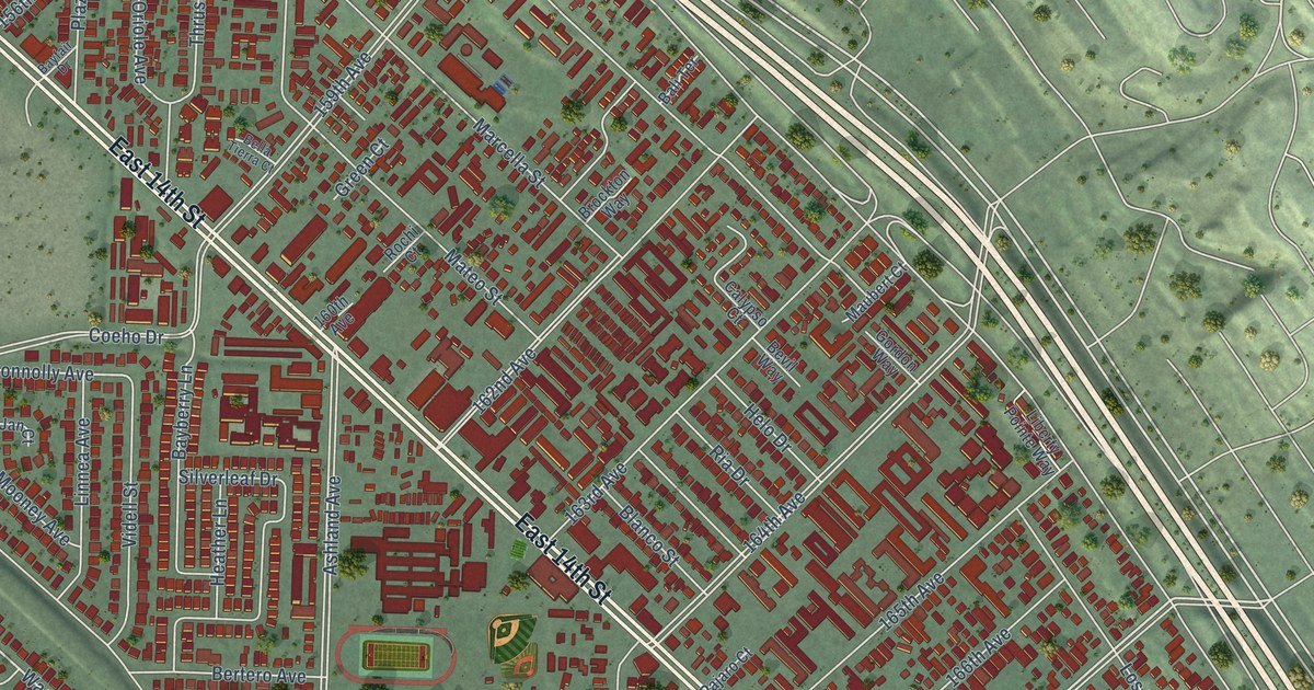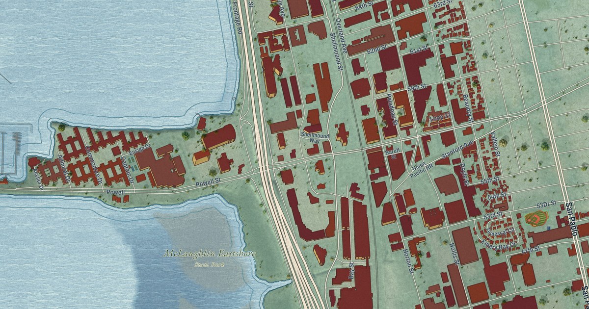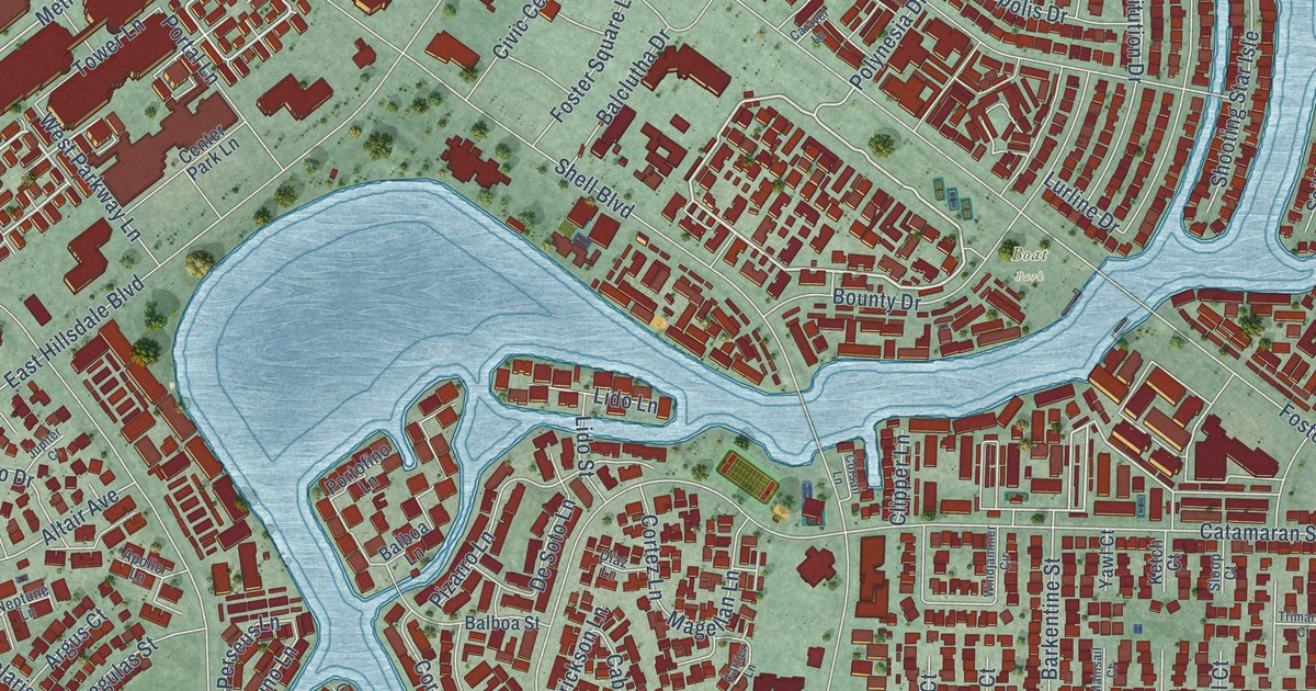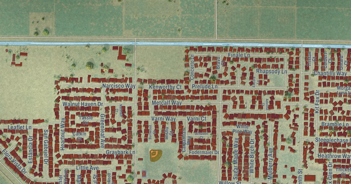
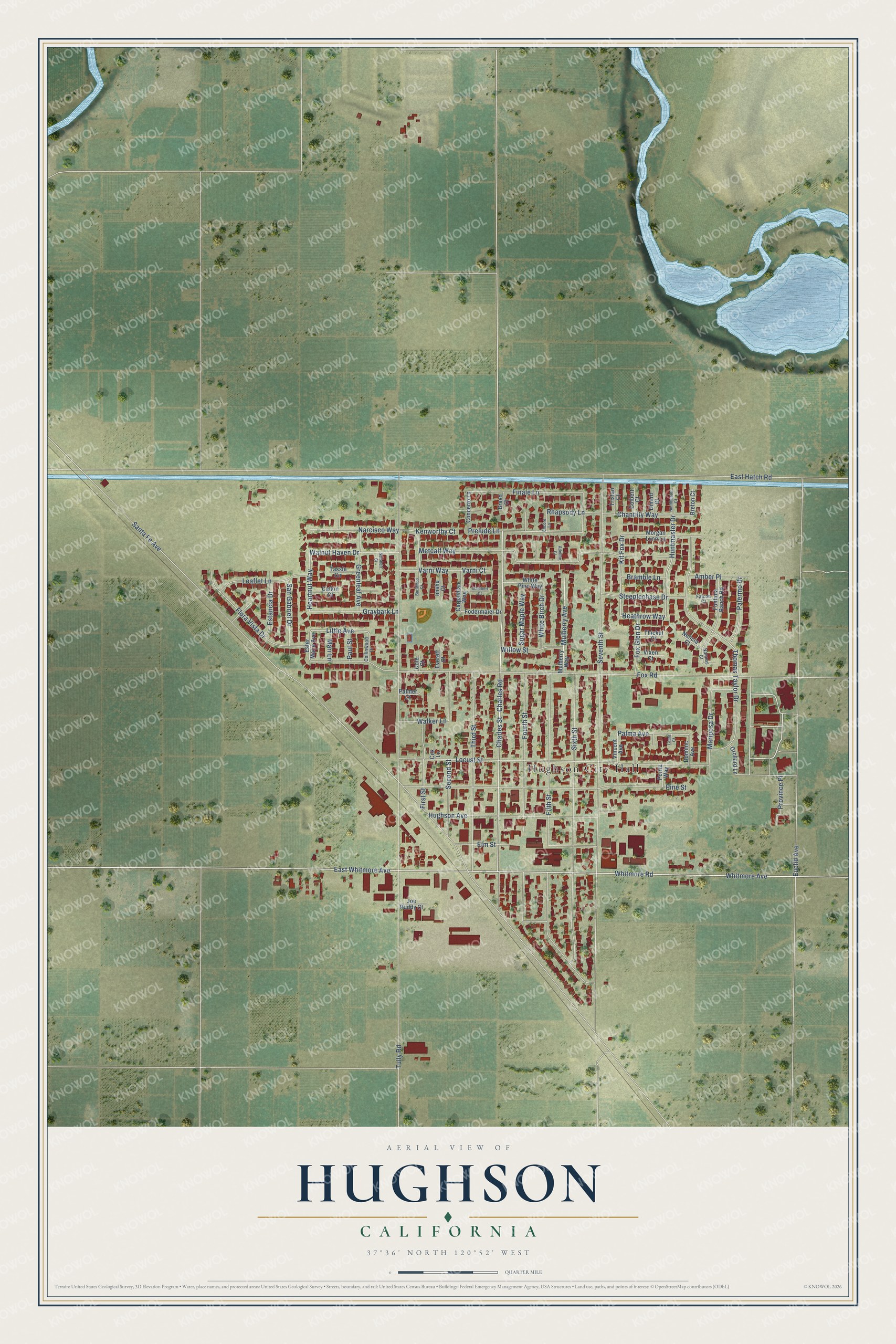
This beautifully detailed map of Hughson, California was created in 2026 using aerial imagery combined with modern topographical, census, street and landmark data. It's a modern aerial view of Hughson in Stanislaus County, California, that combines modern data with a vintage aesthetic. The roads feature printed names, and if you look closely you can find your exact house accurately shown in its correct location.
Explore an aerial view of Hughson, California
On this map you'll find Hughson City Hall, Heathrow Way, Huntmaster Drive, Kit Fox Drive, East Whitmore Avenue, Whitmore Avenue, Whitmore Road, Little Avenue, Charles Street, Palma Avenue, Heartnut Way, Prelude Lane, and more. Each red shape is a building, so zoom in on the preview and look for yours.
Every town has a first chapter, and Hughson is no exception. The Internet Archive puts it this way: "The first grammar school was built in 1908, opening with two teachers; the
school has grown until ten teachers are now employed."
Hughson is a city in Stanislaus County. The Census Bureau counted 7,481 people here in 2020.
Take a closer look at the Hughson map
Names on this map
These names are printed on this map.
Places: Hughson City Hall.
Streets and roads: Heathrow Way, Huntmaster Drive, Kit Fox Drive, East Whitmore Avenue, Whitmore Avenue, Whitmore Road, Little Avenue, Charles Street, Palma Avenue, Heartnut Way, Prelude Lane, Santa Fe Avenue.
More street names, A to Z
Adeline Court, Amber Place, Bramble Lane, Bravo Court, Breton Court, Burlwood Court, Carpathian Way, Catkin Court, Chantilly Way, Charles Road, Colbert Court, Cole Court, Collinwood Drive, Concerto Lane, Cox Lane, Dinard Court, Dominic Avenue, East Hatch Road, Elm Street, Encore Lane, Estancia Drive, Ester Marie Avenue, Euclid Avenue, Everett Court, Falcon Court, Fifth Street, Finale Lane, First Street, Flora Vista Drive, Fodermaier Drive, Fontana Ranch Road, Fourth Street, Fox Glen Drive, Fox Road, Graybark Lane, Greenleaf Avenue, Hughson Avenue, Huntmaster Court, Imshu Court, Joe Ruddy Court, Kenworthy Court, Laura Court, Leaflet Lane, Locust Street, Mari Lane, Mariposa Drive, Metcalf Way, Morgan Lynn Lane, Mulberry Avenue, Mulberry Way, Nannos Court, Narcisco Way, Nuncia Court, Nutshell Court, Orchard Lane, Palermo Drive, Palmer Court, Paul Street, Pine Street, Portia Way, Province Place, Rhapsody Lane, San Gabriel Drive, Schubert Court, Second Street, Seventh Street, Sixth Street, Steeplechase Drive, Sugar Maple Way, Tassle Circle, Thicket Court, Third Street, Thomas Taylor Drive, Tristan Court, Tully Road, Varni Court, Varni Way, Vincent Avenue, Vixen Court, Walker Lane, Walnut Haven Drive, White Birch Drive, White Pine Way, Willow Street.
Created by KNOWOL in 2026. The buildings are small red shapes, the roads carry their printed names, and shaded relief shows the shape of the land. The title panel reads "AERIAL VIEW OF HUGHSON CALIFORNIA" with 37°36' NORTH 120°52' WEST.
Hang it in the hallway, the office or the cabin, or give it to someone who left Hughson and still calls it home. Open the preview and look for a street you know. See sizes and frames for the Hughson map.