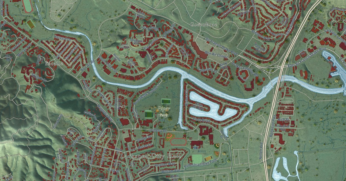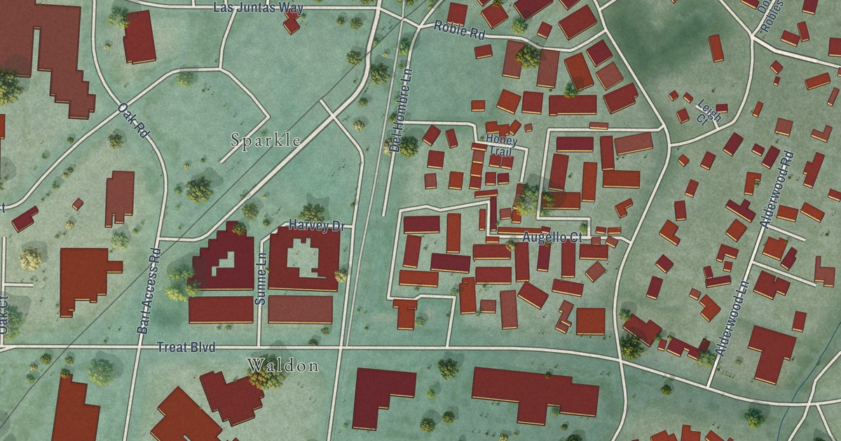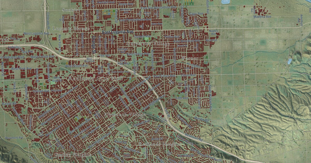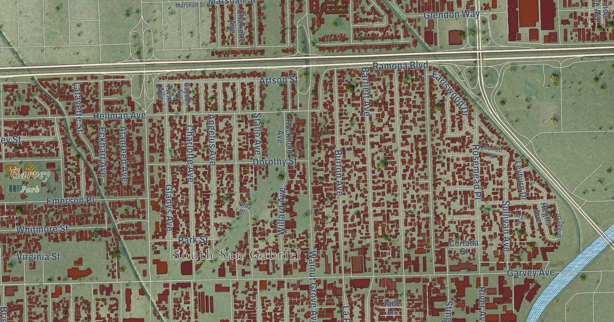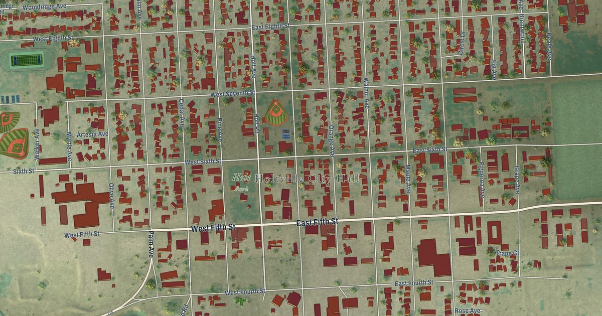
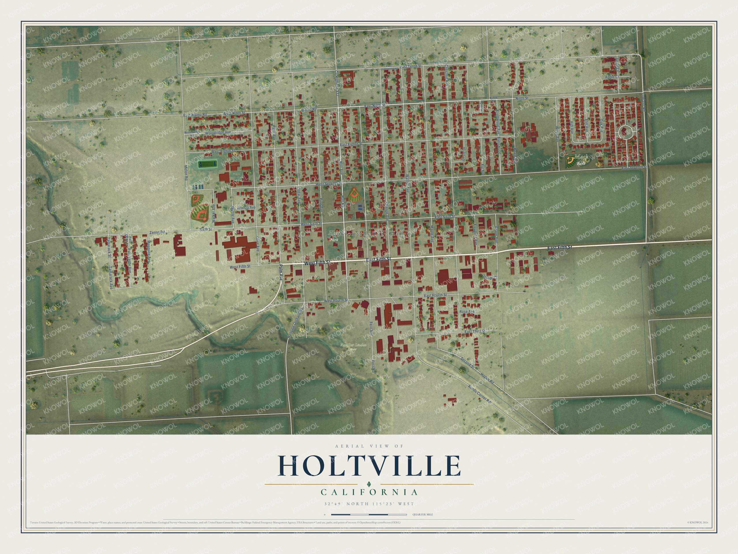
This beautifully detailed map of Holtville, California was created in 2026 using aerial imagery combined with modern topographical, census, street and landmark data. It's a modern aerial view of Holtville in Imperial County, California, that combines modern data with a vintage aesthetic. The roads feature printed names, and if you look closely you can find your exact house accurately shown in its correct location.
Explore an aerial view of Holtville, California
On this map you'll find Holtville City Hall, Van Der Linden Field, Mack Park, Holt Park, West Fifth Street, East Fifth Street, Holt Avenue, East Ninth Street, Towland Road, Sixth Street, Myrtle Avenue, Brentwood Avenue, and more. Each red shape is a building, so zoom in on the preview and look for yours.
Here is a piece of Holtville history, in the words of the record. The record at ohp.parks.ca.gov puts it this way: "From 1907 to 1916 he wrote three best sellers, including the historical novel, The Winning of Barbara Worth , a chronicle of desert reclamation and the Colorado River flood of 1905."
Holtville is a city in Imperial County. The Census Bureau counted 5,605 people here in 2020.
Take a closer look at the Holtville map
Names on this map
These names are printed on this map.
Places: Holtville City Hall, Van Der Linden Field, Mack Park and Holt Park.
Streets and roads: West Fifth Street, East Fifth Street, Holt Avenue, East Ninth Street, Towland Road, Sixth Street, Myrtle Avenue, Brentwood Avenue, West Seventh Street, West Sixth Street, Cedar Avenue, East Sixth Street.
More street names, A to Z
Alamo Road, Apple Court, Apple Lane, Artesia Avenue, Ash Avenue, Beale Avenue, Bonds Corner Road, Brentwood, Chestnut Avenue, Circle Drive, County Highway S32, East Alamo Road, East Eighth Street, East Fourth Street, East Seventh Street, East Tenth Street, East Third Street, East Underwood Road, Elm Avenue, Fern Avenue, Fern Road, Fig Avenue, Figueroa Avenue, Figueroa Place, Grape Avenue, Grape Court, Hogue Road, Holt Road, Holtville Orchard Road, Maple Avenue, Melon Road, Mesquite Avenue, Ninth Street, Oak Avenue, Olive Avenue, Orange Avenue, Palm Avenue, Palo Verde Avenue, Palo Verde Street, Pine Avenue, Rose Avenue, Second Street, Tamarack Avenue, Tamarack Street, Walker Avenue, Walnut Avenue, Webb Avenue, West Eighth Street, West Fourth Street, West Ninth Street, Wooldridge Avenue, Wooldridge Road, Zenos Road.
Created by KNOWOL in 2026. The buildings are small red shapes, the roads carry their printed names, and shaded relief shows the shape of the land. The title panel reads "AERIAL VIEW OF HOLTVILLE CALIFORNIA" with 32°49' NORTH 115°23' WEST.
It suits a den, a classroom or a front hall, and it makes a gift for anyone with Holtville roots. Open the preview and find the block you know. See sizes and frames for the Holtville map.