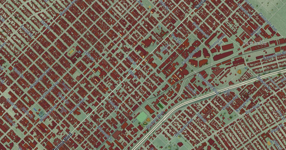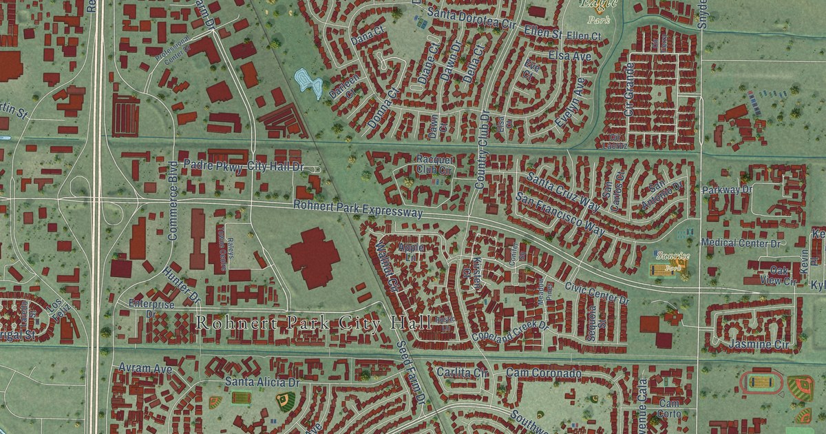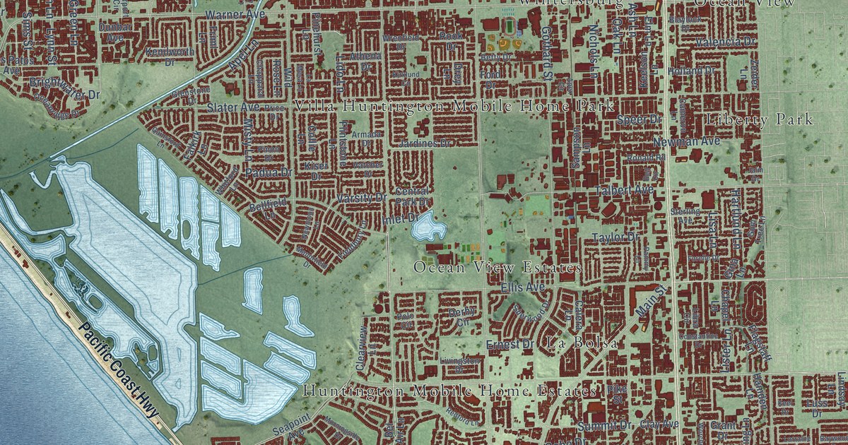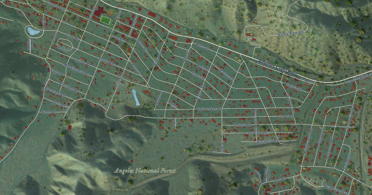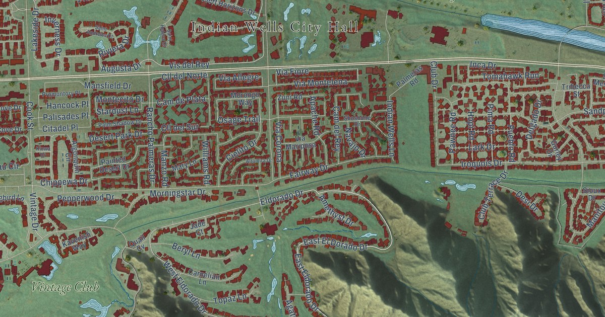
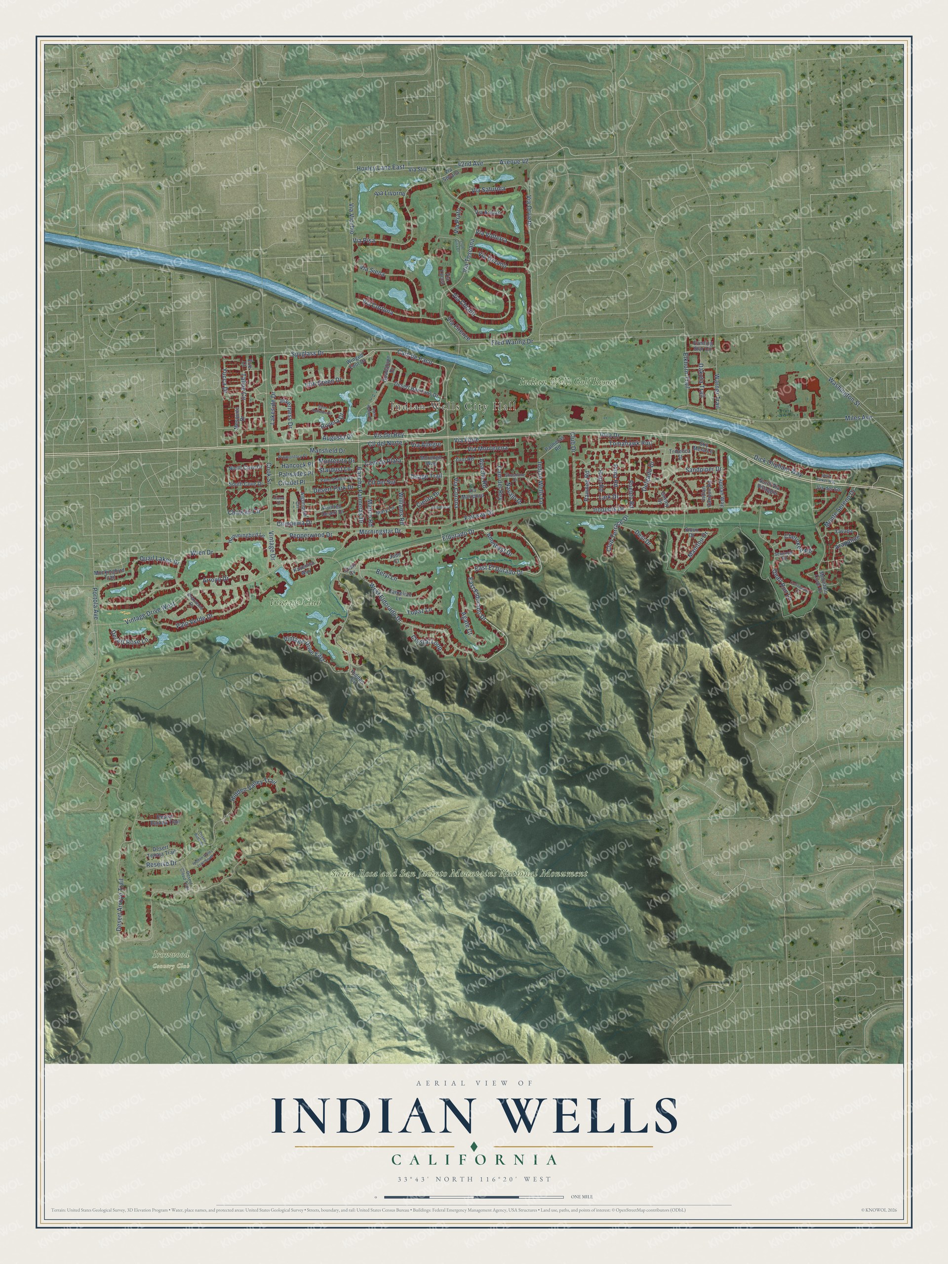
This beautifully detailed map of Indian Wells, California was created in 2026 using aerial imagery combined with modern topographical, census, street and landmark data. It's a modern aerial view of Indian Wells in Riverside County, California, that combines modern data with a vintage aesthetic. The roads feature printed names, and if you look closely you can find your exact house accurately shown in its correct location.
Explore an aerial view of Indian Wells, California
On this map you'll find Indian Wells City Hall, Ironwood Country Club, Santa Rosa and San Jacinto Mountains National Monument, Indian Wells Golf Resort, Vintage Club, Cam de Paco, Vis del Rey, 42nd Avenue, Eldorado Drive, East Eldorado Drive, West Eldorado Drive, Via Chianti, and more. Each red shape is a building, so zoom in on the preview and look for yours.
Indian Wells is a city in Riverside County. The Census Bureau counted 4,757 people here in 2020. The map prints the town name in its title panel, with the coordinates below it.
Take a closer look at the Indian Wells map
Names on this map
These names are printed on this map.
Places: Indian Wells City Hall, Ironwood Country Club, Santa Rosa and San Jacinto Mountains National Monument, Indian Wells Golf Resort and Vintage Club.
Streets and roads: Cam de Paco, Vis del Rey, 42nd Avenue, Eldorado Drive, East Eldorado Drive, West Eldorado Drive, Via Chianti, Spyglass Drive, Arapahoe, Via Fiore, Augusta Drive, Vintage Drive.
More street names, A to Z
14th Green Drive, Agate Court, Algonquin Circle, Altamira Drive, Amethyst Drive, Apache Road, Appian Way, Arroyo Drive, Avenue 42, Beryl Lane, Betty Barker Way, Briarwood Drive, Cam del Rey, Cam de Plata, Carnelian Lane, Chateau Circle, Cherokee Road, Chippewa Drive, Cielito Drive, Citadel Place, Cll del Norte, Cll del Sur, Club Drive, Club Terrace Drive, Club Villa Drive, Cook Street, Cottonwood Cv, Crystal Loop, Dakota Trail, Delgado Drive, Desert Arroyo Trail, Desert Bajada Trail, Desert Butte Drive, Desert Cloud Trail, Desert Horizons Drive, Desert Park Drive, Desert Rose Lane, Desert Tenaja Trail, Desi Drive, Dick Oliphant Way, East El Dorado Drive, Elkhorn Trail, Erie Court, Evening Star Circle, Fairway Drive, Fred Waring Drive, Guadalupe Drive, Gurley Drive, Hancock Place, Hidden Cv, Hidden Valley Trail, Hidden Valley Trail South, Hopi Road, Hovley Lane East, Hummingbird Lane, Inca Drive, Indian Canyon Road, Indian Wells Lane, Inverness Drive, Iroquois Drive, Jade Court, Kavenish Way, Kiowa Drive, Lakeside Drive, Lark Drive, Manitou Drive, Mansfield Drive, Manzo Road, Mary Lane, Mesquite Drive, Miles Avenue, Mockingbird Trail, Montecito Drive, Monte Sereno Drive, Morningstar Drive, Morongo Way, Mountain Cove Drive, Navajo Drive, North Cove Drive, North Via Villaggio, Osage Trail, Painted Desert Drive, Palisades Place, Palmeras Road, Palm Shadow Drive, Palo Verde Drive, Pawnee Road, Pepperwood Drive, Pima Road, Portola Avenue, Promontory Place, Pueblo Road, Quail Cv, Quail Lakes Drive, Quail Run Lane, Rancho Palmeras Drive, Reserve Drive, Riviera Drive, Saint Andrews Court, Saint Helena Court, Sandpiper Drive, Seminole Road, Shoshone Drive, Sioux Drive, Sky Mesa Lane, South Cove Drive, Stardust Lane, Tahoe Circle, Tomahawk Run, Topaz Lane, Tribecca Street, Via Allegre, Via Arezzo, Via Corona, Via Cortona, Via Firenze, Via Livorno, Via Lucca, Via Mariposa, Via Montelena, Via Orvieto, Via Pisa, Via Prato, Via Saturnia, Via Siena, Via Sovana, Via Stia, Via Toscana, Via Uzzano, Via Vicchio, Via Volterra, Vintage Drive East, Vintage Drive West, Vis del Sol, Warner Trail, Washington Street, Williams Road, Winged Foot Drive, Wren Drive, Yavapa, Yucca Drive, Zuni Road.
Created by KNOWOL in 2026. The buildings are small red shapes, the roads carry their printed names, and shaded relief shows the shape of the land. The title panel reads "AERIAL VIEW OF INDIAN WELLS CALIFORNIA" with 33°43' NORTH 116°20' WEST.
It looks right in a kitchen, an office or a den, and it's a gift for anyone who grew up in Indian Wells or moved away. Open the preview and find your street. See sizes and frames for the Indian Wells map.