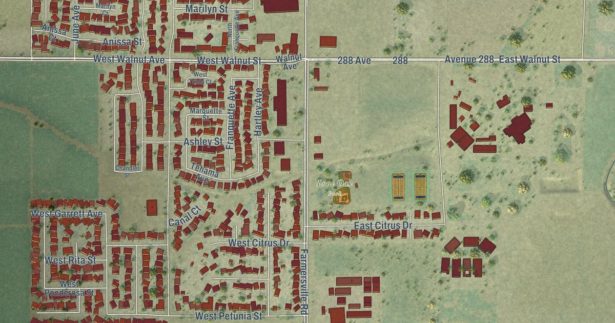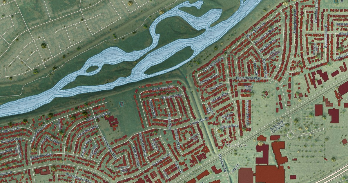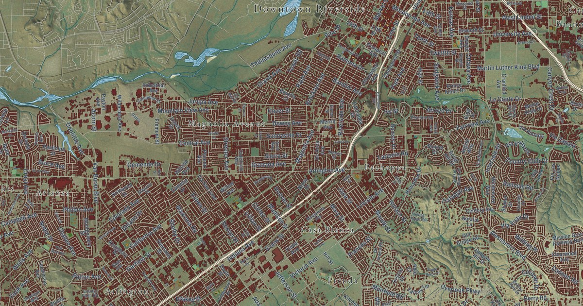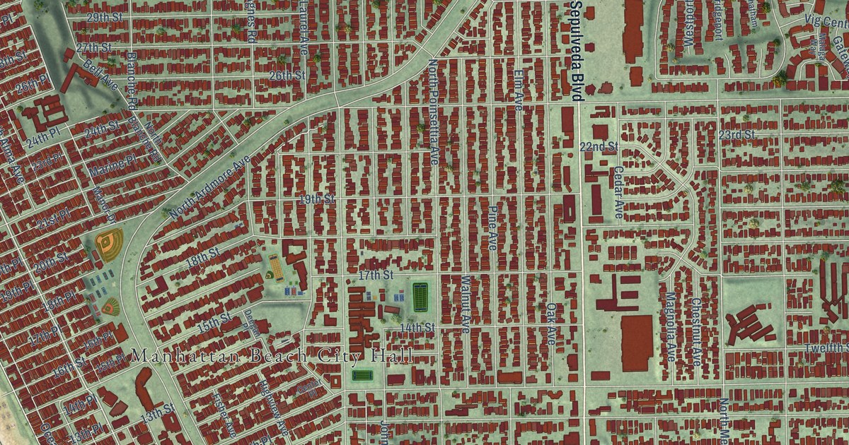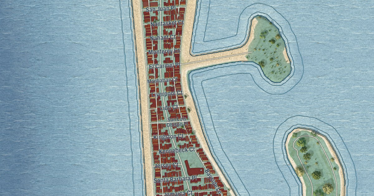
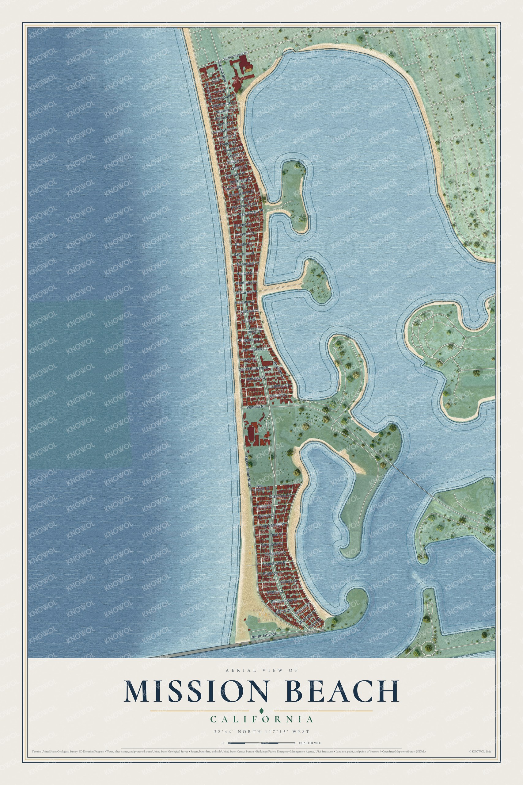
This beautifully detailed map of Mission Beach, California was created in 2026 using aerial imagery combined with modern topographical, census, street and landmark data. It's a modern aerial view of Mission Beach in San Diego County, California, that combines modern data with a vintage aesthetic. The roads feature printed names, and if you look closely you can find your exact house accurately shown in its correct location.
Explore an aerial view of Mission Beach, California
On this map you'll find Mission Boulevard, Ocean Front Walk, Strand Way, Bayside Lane, North Jetty Road, Isthmus Court, Island Court, Jamaica Court, Capistrano Place, Avalon Court, Ensenada Court, San Luis Rey Place, and more. Each red shape is a building, so zoom in on the preview and look for yours.
Every town has a first chapter, and Mission Beach is no exception. The City of San Diego puts it this way: "In 1925, in order to stimulate real estate sales and to promote his electric railway, Spreckels built the Mission Beach amusement center, now called Belmont Park."
Mission Beach is a place in San Diego County.
Take a closer look at the Mission Beach map
Names on this map
These names are printed on this map.
Streets and roads: Mission Boulevard, Ocean Front Walk, Strand Way, Bayside Lane, North Jetty Road, Isthmus Court, Island Court, Jamaica Court, Capistrano Place, Avalon Court, Ensenada Court, San Luis Rey Place.
More street names, A to Z
Allerton Court, Anacapa Court, Asbury Court, Aspin Court, Balboa Court, Brighton Court, Cohasset Court, Coronado Court, Deal Court, Devon Court, Dover Court, El Carmel Place, Jersey Court, Kennebeck Court, Kingston Court, Lido Court, Liverpool Court, Manhattan Court, Monterey Court, Nahant Court, Nantasket Court, Niantic Court, Ormond Court, Ostend Court, Pacific Beach Drive, Pismo Court, Portsmouth Court, Queenstown Court, Redondo Court, Rockaway Court, Salem Court, San Fernando Place, San Gabriel Place, San Jose Place, San Juan Place, San Luis Obispo Place, San Rafael Place, Santa Barbara Place, Santa Clara Place, Santa Rita Place, Seagirt Court, Sunset Court, Tangiers Court, Toulon Court, Vanitie Court, Venice Court, Ventura Place, Verona Court, Whiting Court, Windemere Court, Yarmouth Court, York Court.
Created by KNOWOL in 2026. The buildings are small red shapes, the roads carry their printed names, and shaded relief shows the shape of the land. The title panel reads "AERIAL VIEW OF MISSION BEACH CALIFORNIA" with 32°46' NORTH 117°15' WEST.
Hang it in the hallway, the office or the cabin, or give it to someone who left Mission Beach and still calls it home. Open the preview and look for a street you know. See sizes and frames for the Mission Beach map.