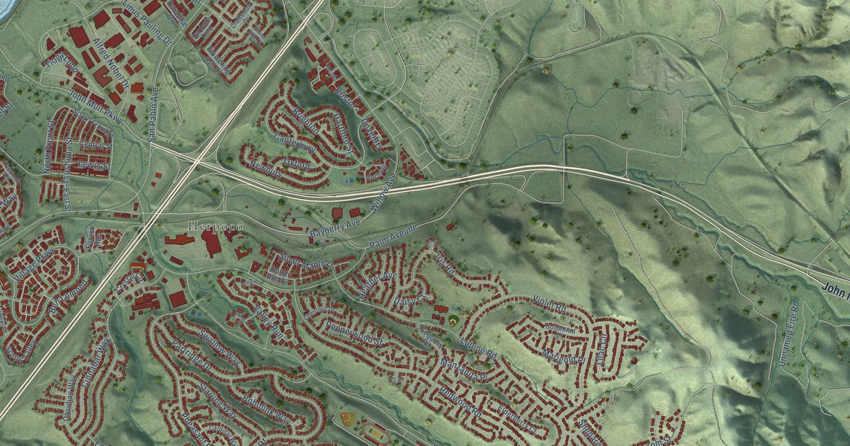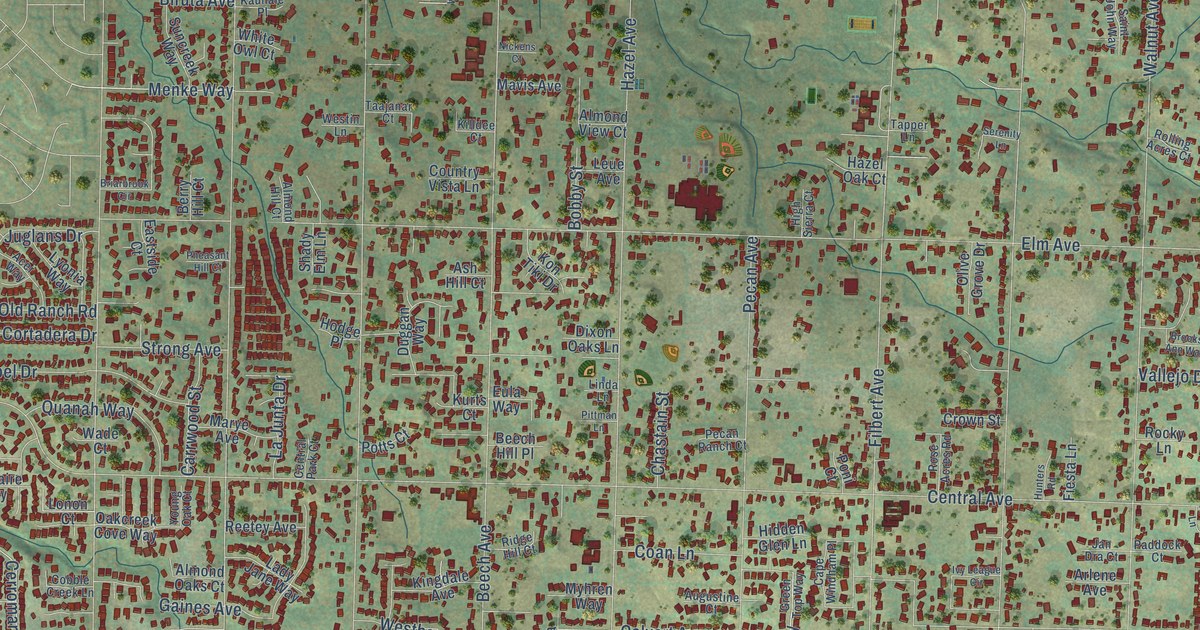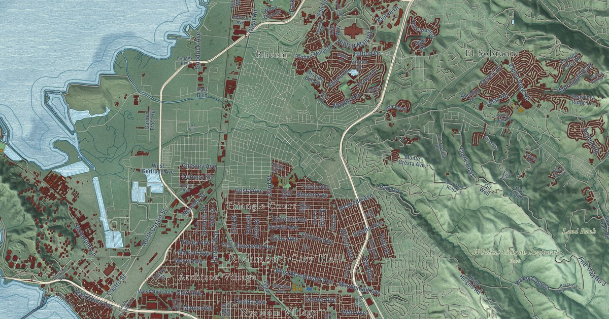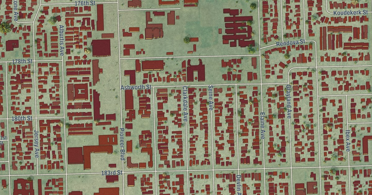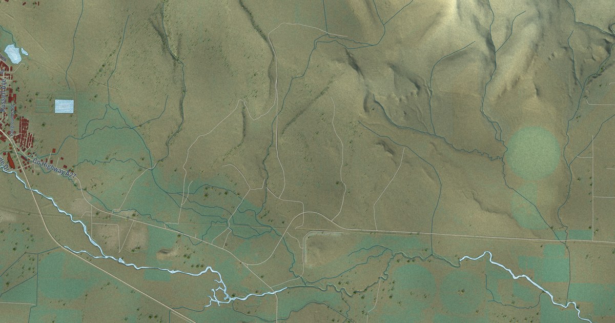
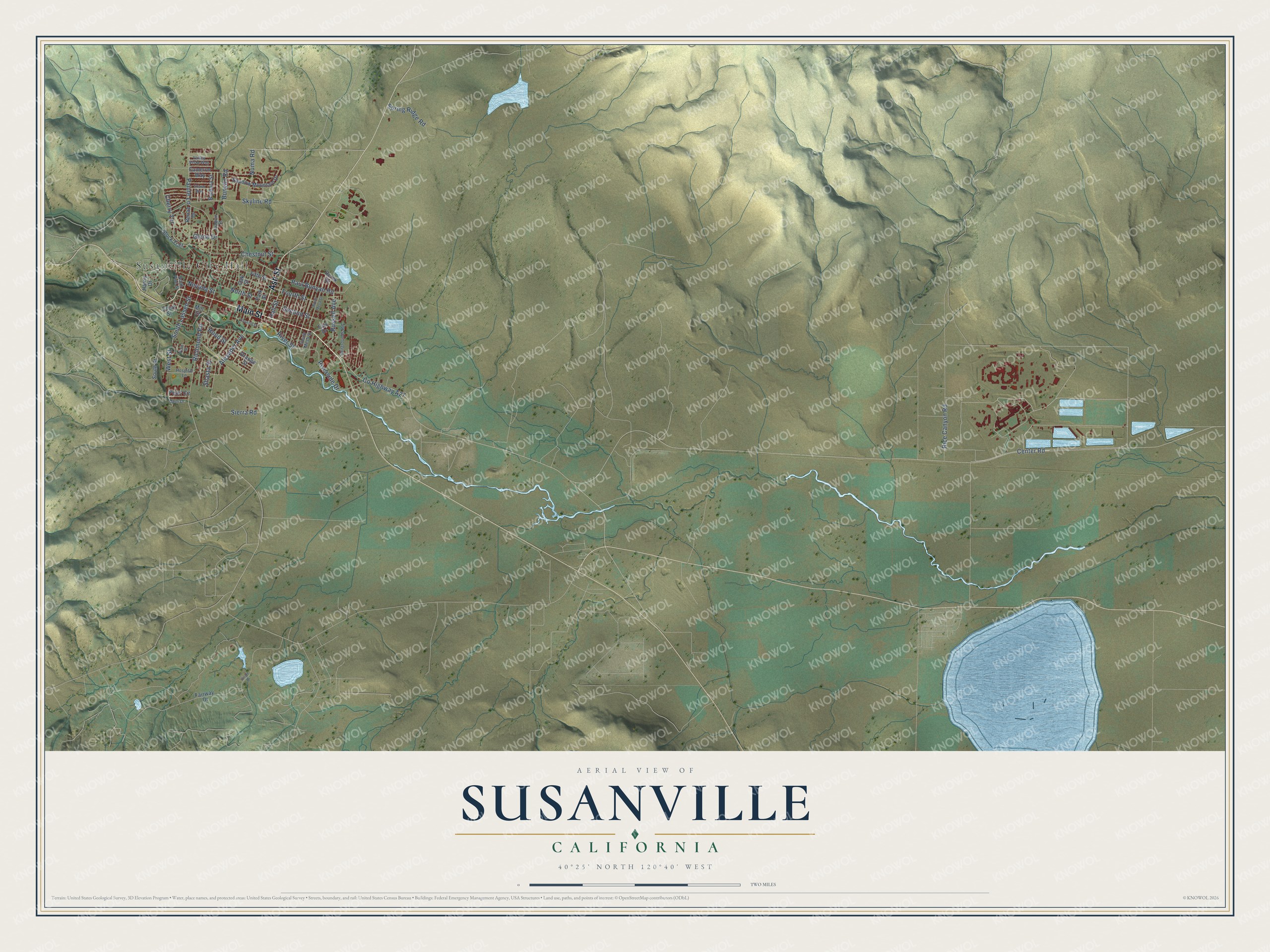
This beautifully detailed map of Susanville, California was created in 2026 using aerial imagery combined with modern topographical, census, street and landmark data. It's a modern aerial view of Susanville in Lassen County, California, that combines modern data with a vintage aesthetic. The roads feature printed names, and if you look closely you can find your exact house accurately shown in its correct location.
Explore an aerial view of Susanville, California
On this map you'll find Susanville City Hall, Main Street, Ash Street, Sierra Road, Paul Bunyan Road, Riverside Drive, South Lassen Street, Bunyan Road, Co Highway A27, Skyline Road, Rice Canyon Road, North Street, and more. Each red shape is a building, so zoom in on the preview and look for yours.
Susanville has a story worth telling. The National Register of Historic Places puts it this way: ")
z
o
h-
u
=3
LLI
LU
STATEMENT OF SIGNIFICANCE
Roop's Fort was the first building erected in Lassen County by the white
man."
Susanville is a city in Lassen County. The Census Bureau counted 16,728 people here in 2020.
Take a closer look at the Susanville map
Names on this map
These names are printed on this map.
Places: Susanville City Hall.
Streets and roads: Main Street, Ash Street, Sierra Road, Paul Bunyan Road, Riverside Drive, South Lassen Street, Bunyan Road, County Highway A27, Skyline Road, Rice Canyon Road, North Street, Richmond Road.
More street names, A to Z
Alexader Avenue, Barbara Street, Cameron Way, Center Road, Cherry Terrace, Chestnut Street, Circle Drive, Cornell Street, Court Street, Derek Drive, Fair Drive, Fairgrounds Road, Fairway Drive, Fifth Street, Fourth Street, Gem Drive, Glenn Drive, Hall Street, Harris Drive, Hood Street, Hospital Lane, Joaquin Street, Mill Street, Nevada Street, North Mesa Street, North Pine Street, Numa Road, Oak Street, Orange Street, Paiute Lane, Park Street, Pearl Circle, Plum Street, Renae Drive, River Street, Russell Avenue, Second Street, Shadow Mountain Drive, Shasta Street, Shawn Way, South Mesa Street, South Street, Spring Ridge Road, Stock Trail, Valley Vista Way, West Street.
Created by KNOWOL in 2026. The buildings are small red shapes, the roads carry their printed names, and shaded relief shows the shape of the land. The title panel reads "AERIAL VIEW OF SUSANVILLE CALIFORNIA" with 40°25' NORTH 120°40' WEST.
It looks right in a kitchen, an office or a den, and it's a gift for anyone who grew up in Susanville or moved away. Open the preview and find your street. See sizes and frames for the Susanville map.