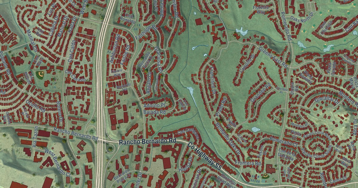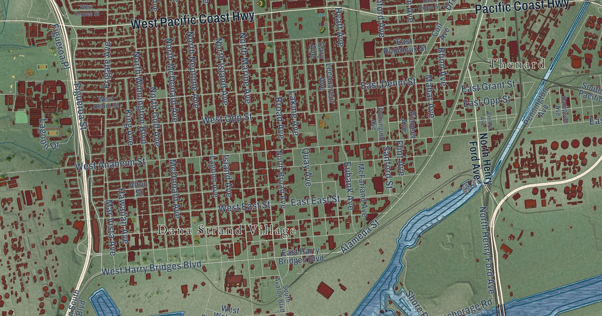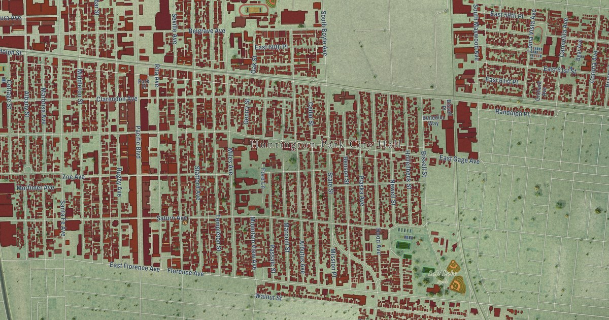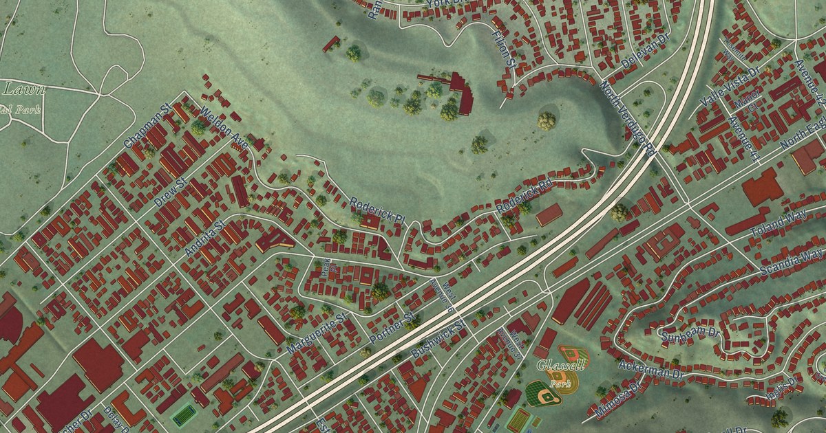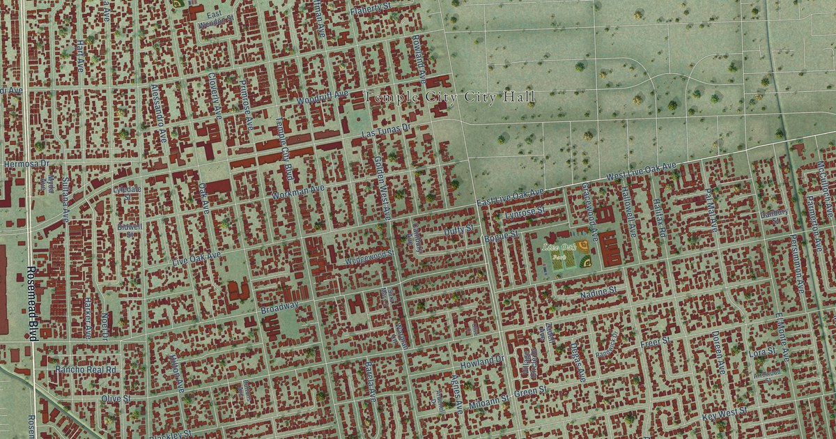
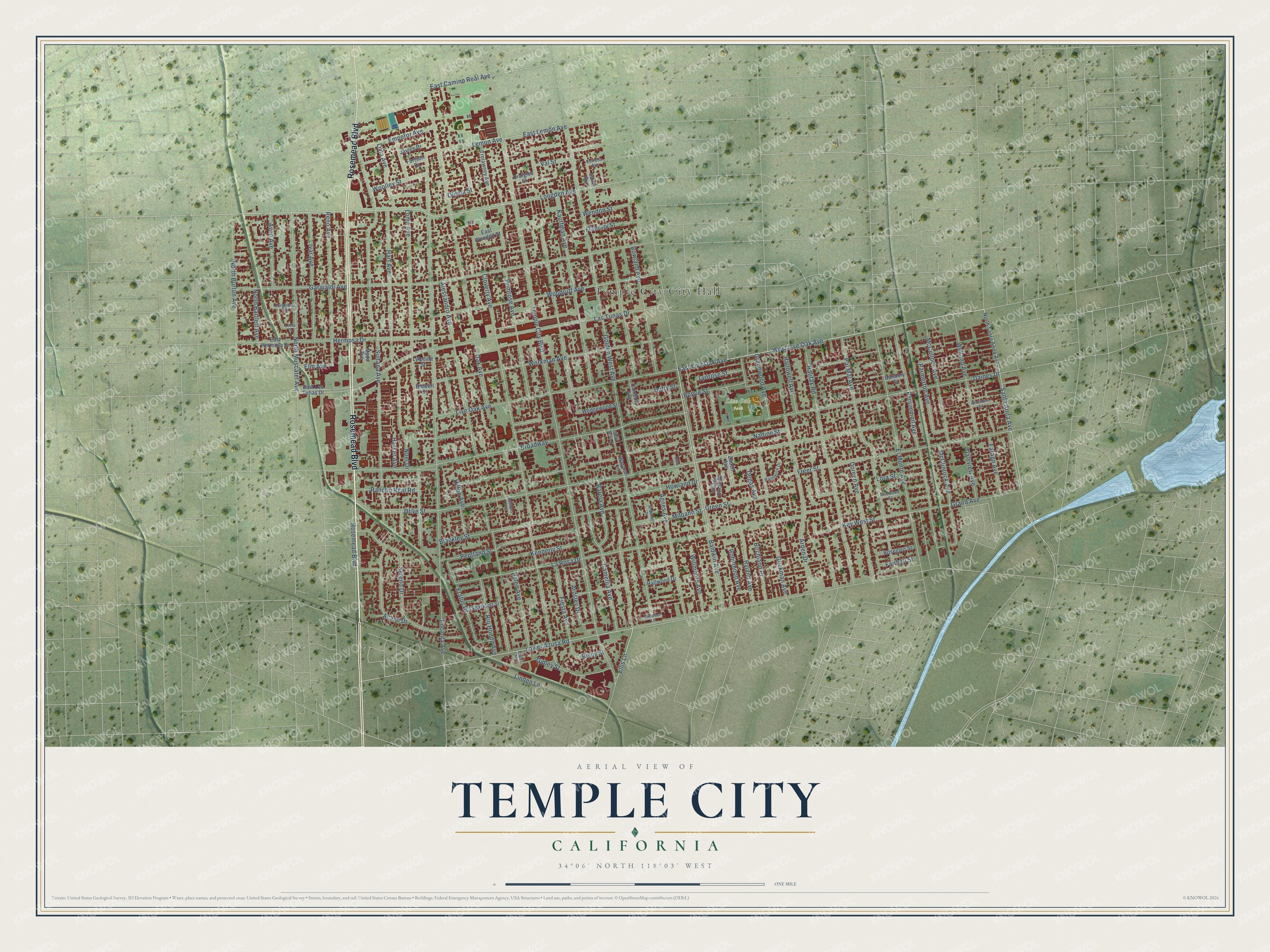
This beautifully detailed map of Temple City, California was created in 2026 using aerial imagery combined with modern topographical, census, street and landmark data. It's a modern aerial view of Temple City in Los Angeles County, California, that combines modern data with a vintage aesthetic. The roads feature printed names, and if you look closely you can find your exact house accurately shown in its correct location.
Explore an aerial view of Temple City, California
On this map you'll find Live Oak Park, Rosemead Boulevard, Longden Avenue, Baldwin Avenue, West Live Oak Avenue, Santa Anita Avenue, East Lemon Avenue, Lemon Avenue, Ellis Lane, Lower Azusa Road, Broadway, East Camino Real Avenue, and more. Each red shape is a building, so zoom in on the preview and look for yours.
Temple City is a city in Los Angeles County. The Census Bureau counted 36,494 people here in 2020. The map prints the town name in its title panel, with the coordinates below it.
Take a closer look at the Temple City map
Names on this map
These names are printed on this map.
Places: Temple City City Hall and Live Oak Park.
Streets and roads: Rosemead Boulevard, Longden Avenue, Baldwin Avenue, West Live Oak Avenue, Santa Anita Avenue, East Lemon Avenue, Lemon Avenue, Ellis Lane, Lower Azusa Road, Broadway, East Camino Real Avenue, Temple City Boulevard.
More street names, A to Z
Acaso Drive, Agnes Avenue, Alessandro Avenue, Arden Drive, Ardenel Drive, Ardsley Drive, Arrowood Street, Avon Avenue, Barela Avenue, Bidwell Street, Birchland Place, Bisby Street, Blackley Street, Bogue Street, Burghardt Road, Buttons Avenue, Cambury Avenue, Camellia Avenue, Cloverly Avenue, Craiglee Street, Daines Drive, Daleview Avenue, Danbury Street, Degas Avenue, Doreen Avenue, Duffy Street, East Hermosa Drive, East Las Tunas Drive, East Live Oak Avenue, East Wendon Street, Elm Avenue, El Monte Avenue, Emperor Avenue, Encinita Avenue, Estrella Avenue, Fairhall Street, Farago Avenue, Fiesta Avenue, Flaherty Street, Fortson Drive, Fratus Drive, Freer Street, Garibaldi Avenue, Gidley Street, Glickman Avenue, Golden West Avenue, Gracewood Avenue, Grand Avenue, Green Street, Halifax Road, Hallowell Avenue, Hallwood Drive, Harker Avenue, Hart Avenue, Heleo Avenue, Hermosa Drive, Hilton Avenue, Howland Drive, Ivar Avenue, Jaylee Drive, Kauffman Avenue, Kennerly Street, Key West Street, La Rosa Drive, Las Tunas Drive, Leslie Drive, Linden Lane, Live Oak Avenue, Livia Avenue, Loma Avenue, Lora Street, Lyledale Street, Lynrose Street, McClintock Avenue, McCulloch Avenue, Miller Drive, Miloann Street, Myda Avenue, Nadine Street, Noel Drive, North Bartlett Avenue, North Burton Avenue, North Muscatel Avenue, North Santa Anita Avenue, Oak Avenue, Olema Street, Olive Court, Olive Street, Pal Mal Avenue, Parmerton Avenue, Pentland Street, Persimmon Avenue, Primrose Avenue, Rancho Real Road, Randwick Drive, Reno Avenue, Rio Hondo Avenue, Robinhood Avenue, Roseglen Street, Rowland Avenue, Ryland Avenue, Salter Avenue, Sara Mar Lane, Sereno Drive, Sparklett Street, Sultana Avenue, Trelawney Avenue, Val Street, Village Circle Drive, Warman Lane, Wedgewood Street, Welland Avenue, Wendon Street, Wildflower Road, Willmonte Avenue, Windsor Lane, Woodruff Avenue, Woolley Street, Workman Avenue, Zadell Avenue.
Created by KNOWOL in 2026. The buildings are small red shapes, the roads carry their printed names, and shaded relief shows the shape of the land. The title panel reads "AERIAL VIEW OF TEMPLE CITY CALIFORNIA" with 34°06' NORTH 118°03' WEST.
It looks right in a kitchen, an office or a den, and it's a gift for anyone who grew up in Temple City or moved away. Open the preview and find your street. See sizes and frames for the Temple City map.