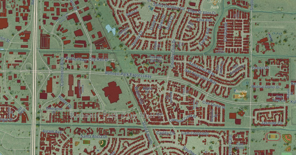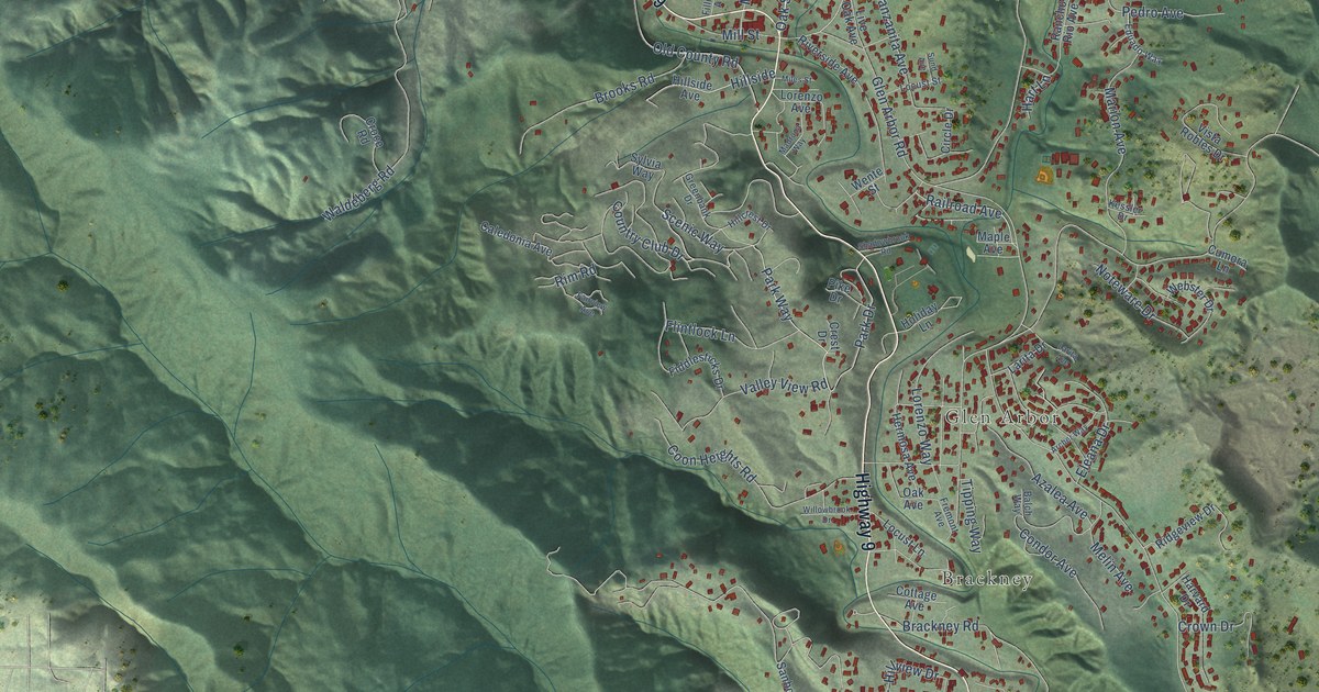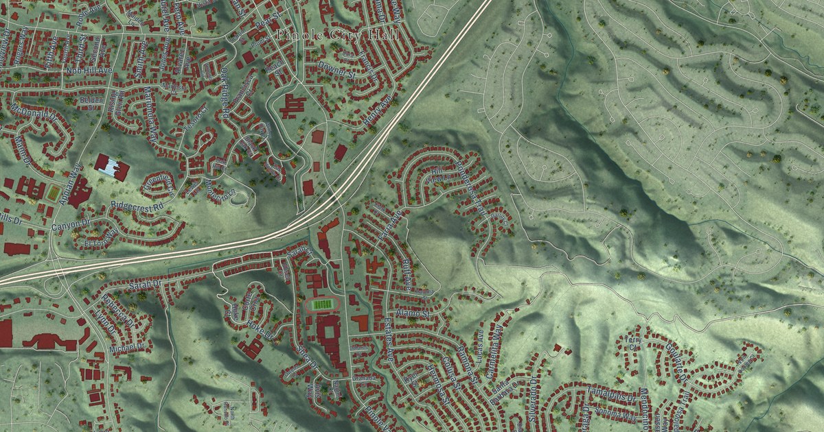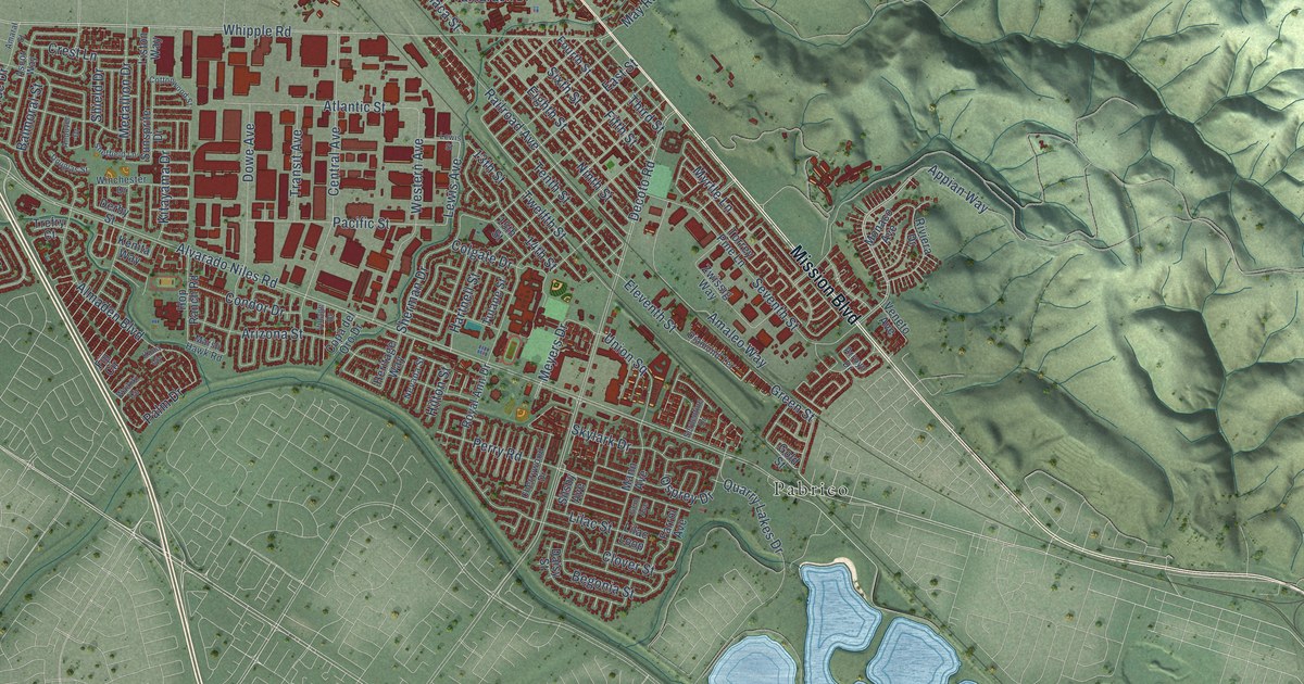
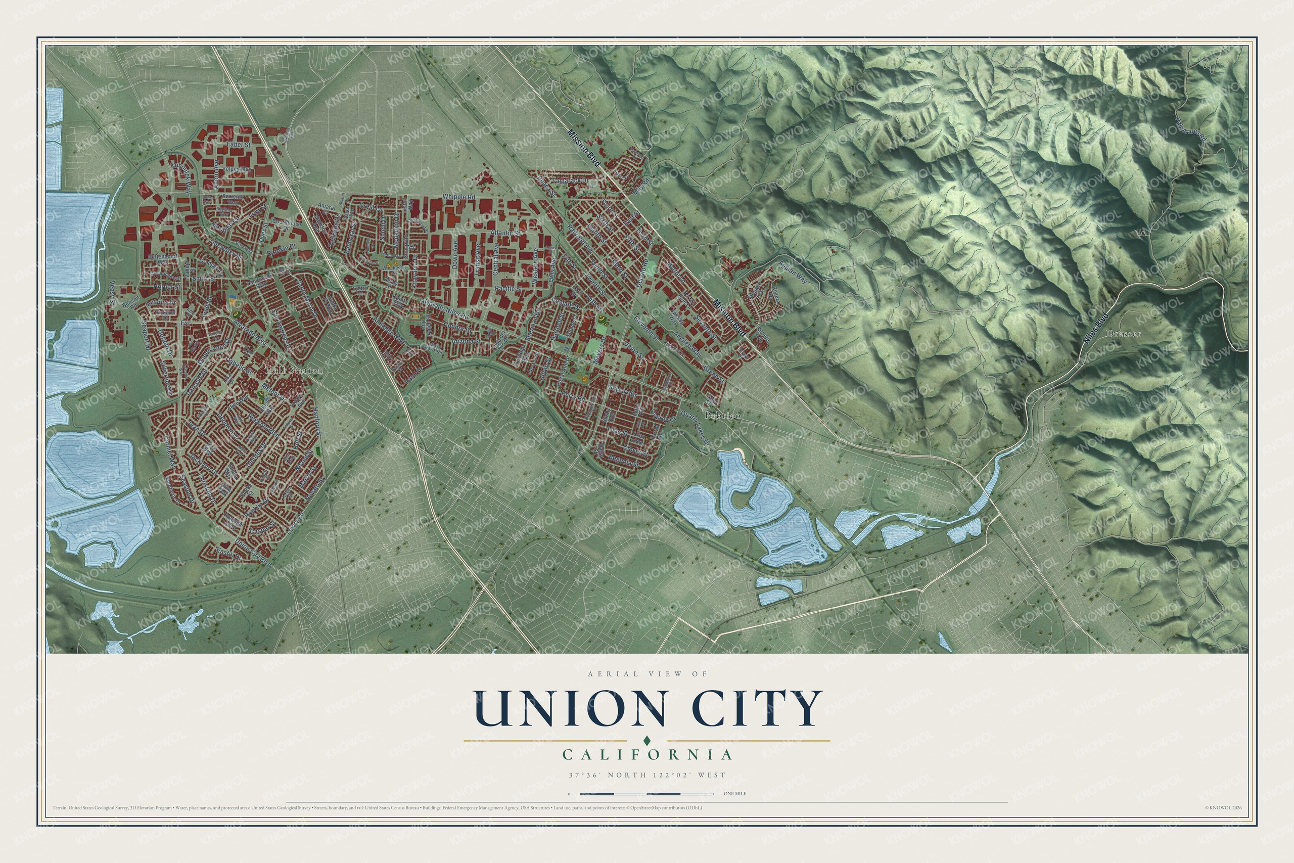
This beautifully detailed map of Union City, California was created in 2026 using aerial imagery combined with modern topographical, census, street and landmark data. It's a modern aerial view of Union City in Alameda County, California, that combines modern data with a vintage aesthetic. The roads feature printed names, and if you look closely you can find your exact house accurately shown in its correct location.
Explore an aerial view of Union City, California
On this map you'll find Dresser, Hall Station, Pabrico, Niles Boulevard, Mission Boulevard, Alvarado Boulevard, Appian Way, Extension, Whipple Road, Remora Drive, Lowry Road, Green Street, and more. Each red shape is a building, so zoom in on the preview and look for yours.
Here is a piece of Union City history, in the words of the record. The record at ohp.parks.ca.gov puts it this way: "It began to process sugar beets on November 15, 1870, and produced 293 tons of sugar during its first operating season."
Union City is a city in Alameda County. The Census Bureau counted 70,143 people here in 2020.
Take a closer look at the Union City map
Names on this map
These names are printed on this map.
Places: Dresser, Hall Station and Pabrico.
Streets and roads: Niles Boulevard, Mission Boulevard, Alvarado Boulevard, Appian Way, Extension, Whipple Road, Remora Drive, Lowry Road, Green Street, Eleventh Street, Seaside Drive, Central Avenue.
More street names, A to Z
13th Street, 14th Street, 15th Street, Ahern Avenue, Alice Way, Almaden Boulevard, Alvarado Niles Road, Amaleo Way, Amaral Court, Amaral Street, Amy Place, Anaheim Loop, Andover Drive, Arizona Street, Arroyo Drive, Ascot Way, Atlantic Street, Balmoral Street, Begonia Street, Belize Way, Benson Road, Bettencourt Way, Blythe Street, Cabello Street, Cambridge Way, Carmel Way, Carr Way, Caspar Street, Cherrywood Drive, Christine Drive, Clover Street, Colgate Drive, Condor Drive, Copa del Oro Drive, Cottonwood Street, Courthouse Drive, Crest Lane, Daisy Street, Darcelle Drive, Deborah Drive, Decoto Road, Delores Drive, Derby Street, Diamond Terrace, Dorado Drive, Douglas Street, Dowe Avenue, Dyer Court, Dyer Street, Eastin Drive, East Street, Eighth Street, Ellen Way, Empire Street, Faber Street, Farrol Avenue, Fellows Street, Fifth Street, Fiji Circle, Flint Street, Fourth Street, Fredi Street, Gem Avenue, Gina Way, Gold Street, Granada Way, Granger Avenue, Hanford Street, Hartnell Street, Hemlock Drive, Heritage Way, Hilton Street, Holt Street, Hop Ranch Road, Horner Street, Industrial Parkway, Ithaca Street, Jacklynn Drive, Jean Drive, Joyce Way, Kenita Way, Kitayama Drive, Kohoutek Way, Kona Circle, Korbel Street, Laura Way, Lewis Avenue, Lewis Street, Lilac Loop, Lilac Street, Lisa Drive, Liston Way, Lois Way, Madison Avenue, Mann Avenue, Marsh Hawk Road, Martin Street, May Road, Medallion Drive, Meridien Circle, Meteor Drive, Meyers Drive, Monaco Avenue, Monterey Drive, Myrtle Lane, Nevada Street, Niland Street, Ninth Street, Norwalk Street, Novato Street, Ojai Loop, Osprey Drive, Pacific Street, Palm Drive, Palmetto Drive, Palomares Road, Parkside Drive, Perry Road, Pickerel Drive, Polaris Avenue, Quarry Lakes Drive, Queen Anne Drive, Railroad Avenue, Ratekin Drive, Regents Boulevard, Riviera Drive, Rochelle Drive, Rocklin Drive, Rose Way, Royal Ann Drive, San Andreas Drive, San Carlos Way, San Luis Court, Santa Fe Way, Santa Maria Drive, Seaport Drive, Seriana Way, Serpentine Drive, Seventh Street, Sheffield Lane, Sherman Drive, Shiela Way, Shield Drive, Silsby Avenue, Silvertide Drive, Sixth Street, Skylark Drive, Smith Street, Sorrento Way, Sunsprite Drive, Tamarack Drive, Tenth Street, Third Street, Tidewater Drive, Torrey Pine Lane, Transit Avenue, Trefry Court, Tulane Street, Twelfth Street, Union City Boulevard, Union Square, Vallejo Street, Veasy Street, Veneto Avenue, Via Madrid, Victoria Avenue, Village Drive, Volpey Way, Waikiki Circle, Western Avenue, Winchester Drive, Zwissig Way.
Created by KNOWOL in 2026. The buildings are small red shapes, the roads carry their printed names, and shaded relief shows the shape of the land. The title panel reads "AERIAL VIEW OF UNION CITY CALIFORNIA" with 37°36' NORTH 122°02' WEST.
It suits a den, a classroom or a front hall, and it makes a gift for anyone with Union City roots. Open the preview and find the block you know. See sizes and frames for the Union City map.