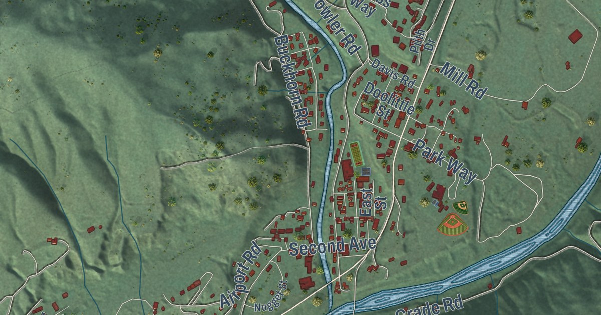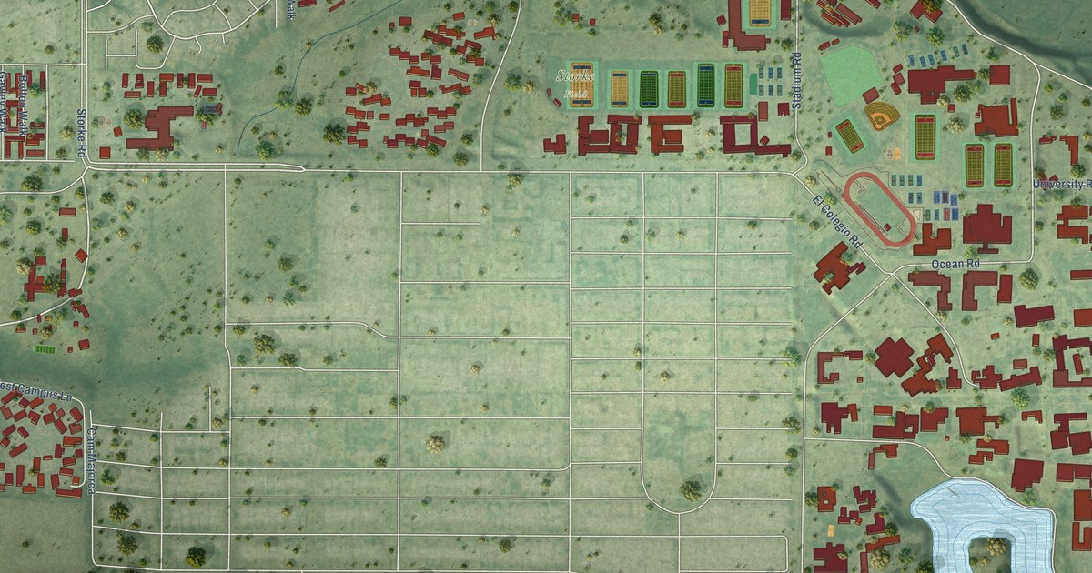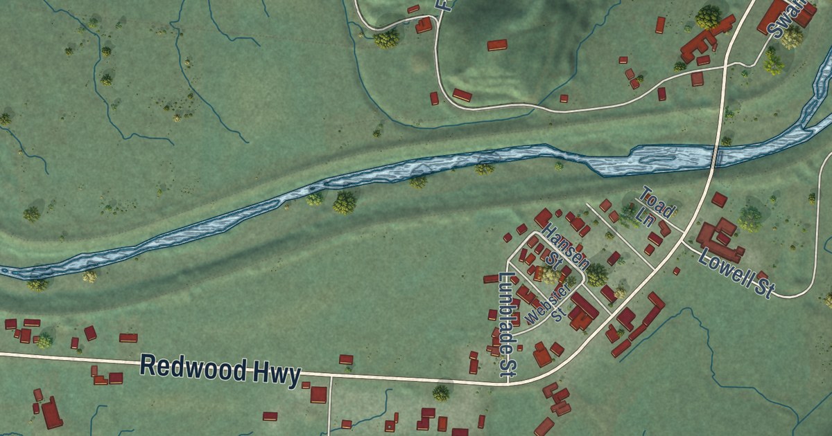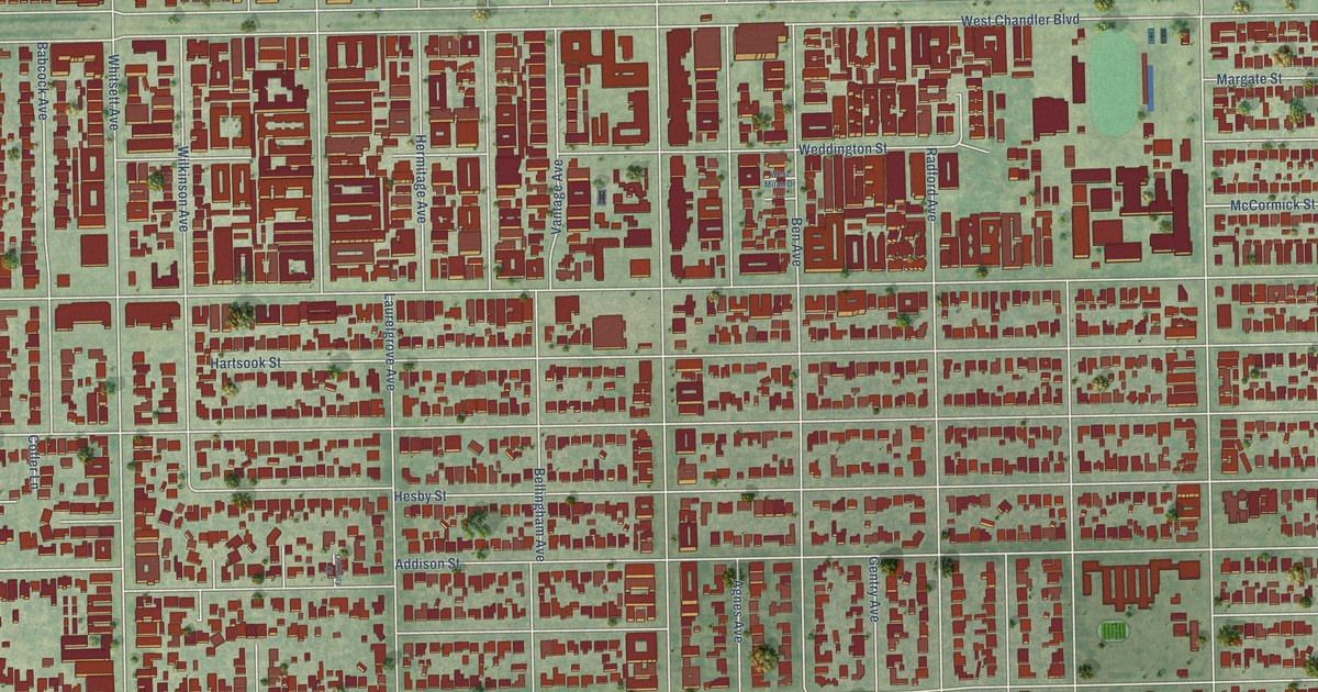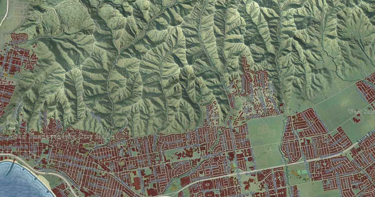
This beautifully detailed map of Ventura, California was created in 2026 using aerial imagery combined with modern topographical, census, street and landmark data. It’s a one-of-a-kind view of Ventura that combines accurate data with a vintage aesthetic. The map shows every building in its true location, many of the roads carry their names, and the shaded topographic relief shows the shape of the land.
Explore an aerial view of Ventura, California
On the map you’ll find San Buenaventura City Hall, Cabrillo Village, Grant Park, Chrisman, Kimball, Montalvo, Pierpont Bay, Saticoy, Weldons, West Saticoy, and Santa Paula Fwy, along with East Thompson Boulevard, and more. If you look closely you can even find your house accurately drawn in its correct location. Zoom in on the preview to look for yours.
Did you know this piece of Ventura, California history?
From Ohp.parks.ca.gov: "The first cross on the hill known as 'La Loma de la Cruz,' or the Hill of the Cross, was erected by Junípero Serra at the founding of the Mission San Buenaventura on March 31, 1782."
Take a closer look at the Ventura map
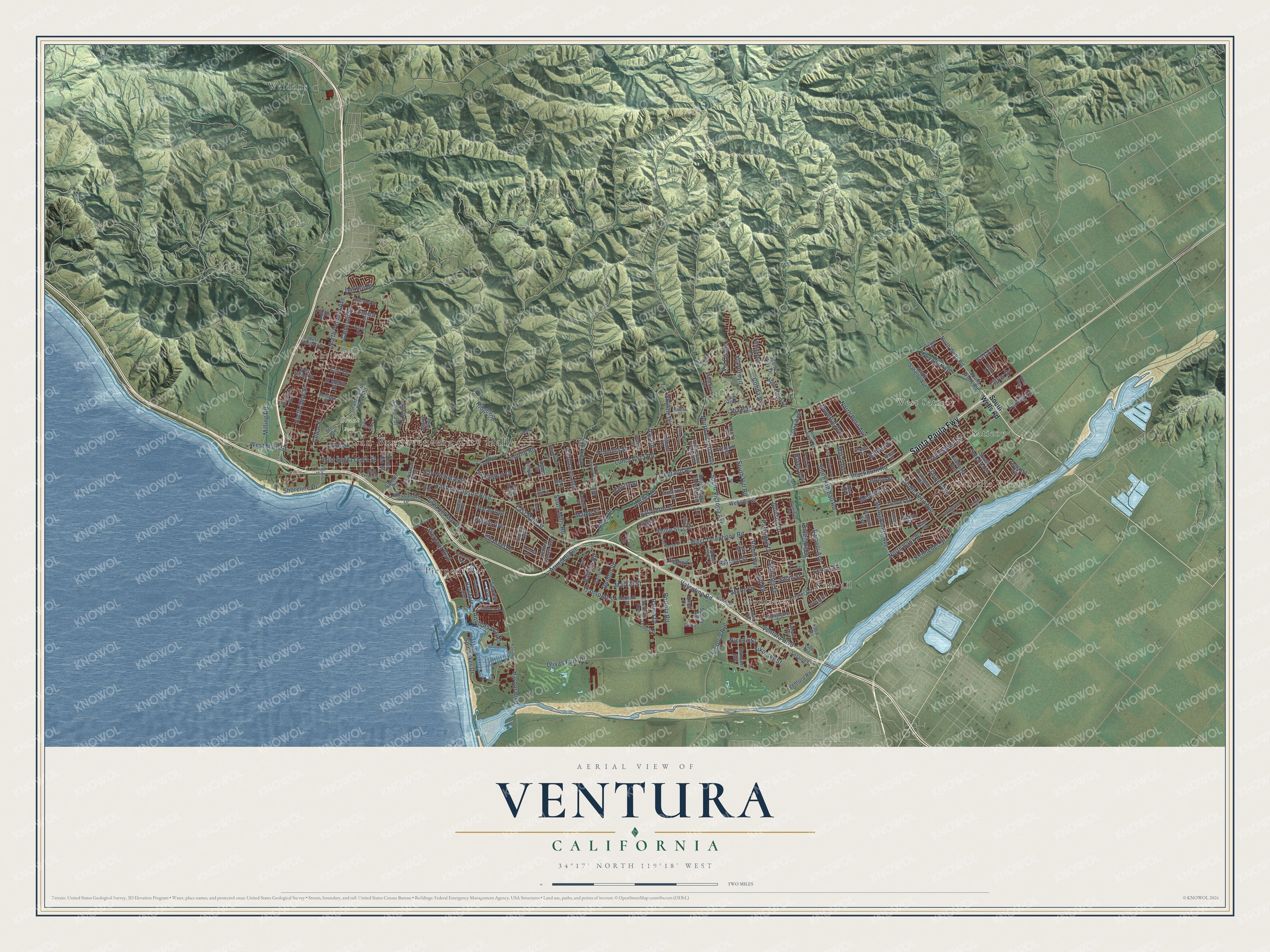
Street and place names on the Ventura, California map
These names are printed on the map of Ventura, California.
Places: San Buenaventura City Hall, Cabrillo Village, Grant Park, Chrisman, Kimball, Montalvo, Pierpont Bay, Saticoy, Weldons and West Saticoy.
Streets and roads: Santa Paula Fwy, East Thompson Boulevard, Hill Road, South Hill Road, Channel Drive, East Main Street, Arundell Avenue, Boise Street, Telegraph Road, West Telephone Road, Foothill Road, Harbor Boulevard.
More street names, A to Z
Agnus Drive, Alabama Street, Alessandro Drive, Aliso Street, Anchors Way Drive, Antelope Drive, Armada Drive, Aurora Drive, Balboa Street, Barranca Avenue, Barr Road, Barry Drive, Bayshore Avenue, Blackburn Road, Breaker Drive, Bristol Road, Browning Avenue, Bunsen Avenue, Burlington Avenue, Burnett Avenue, Cachuma Avenue, Callens Road, Cameron Street, Carlyle Street, Carr Drive, Casa Street, Cedar Street, Chamberlain Street, Chico Drive, Chrisman Avenue, Citrus Drive, Colina Vis, College Drive, Colt Street, Copland Circle, Court Avenue, Coventry Avenue, Crestwood Avenue, Crimea Street, Cypress Point Lane, Daffodil Avenue, Dakota Drive, Darling Road, Day Road, Dean Drive, Debussy Lane, Denver Street, Donlon Street, Dove Street, East Front Street, Eastman Avenue, East Santa Clara Street, Elba Street, Ellington Street, El Medio Street, Elmhurst Street, Emma Avenue, Ferro Drive, Figueroa Street, Ford Avenue, Fremont Street, Galvin Street, Grand Avenue, Grant Pk Fuel Break Road, Halifax Street, Hall Canyon Road, Hayes Avenue, High Point Drive, Hillmont Avenue, Hurst Avenue, Imperial Avenue, Ivy Street, Jamestown Street, Jasper Avenue, Johnson Drive, Jordan Avenue, Kellogg Street, Kennebec Street, Knoll Drive, Lafayette Street, Lang Street, Lark Avenue, Leland Street, Lemon Grove Avenue, Lemur Street, Lexington Drive, Lilac Way, Loma Vista Road, Loop Road, Lupine Way, Maple Street, Mara Avenue, Market Street, McGrath Street, Medford Street, Milling Road, Montgomery Avenue, Moon Drive, Mound Avenue, Navigator Drive, Neath Street, Nevada Avenue, Nicolle Street, Nightingale Street, Nob Hill Lane, North Ashwood Avenue, North Bank Drive, North Brent Street, North Kimball Road, North Olive Street, North Petit Avenue, North Saticoy Avenue, North Ventura Avenue, North Victoria Avenue, North Wake Forest Avenue, North Wells Road, Ocean Avenue, Olivas Park Drive, Opal Avenue, Ortega Street, Pacos Street, Pajaro Avenue, Palma Drive, Palomares Avenue, Partridge Drive, Pierpont Boulevard, Placid Avenue, Plainview Street, Poli Street, Pomona Street, Portola Road, Preble Avenue, Rainier Street, Ralston Street, Ramelli Avenue, Ridgeline, Robin Avenue, Sailor Avenue, Sanjon Road, San Luis Street, San Nicholas Street, San Pedro Street, Saratoga Avenue, Scenic Way Drive, Seafarer Street, Seahorse Avenue, Seaview Avenue, Seneca Street, Shamrock Drive, Sheridan Way, Sherwin Avenue, Shoreline Drive, Sikorsky Street, Skyline Drive, South Ann Street, South Crocker Avenue, South Kimball Road, South Mills Road, South Petit Avenue, South Saticoy Avenue, South Victoria Avenue, South Wake Forest Avenue, South Wells Road, Sperry Avenue, Spinnaker Drive, Sunridge Drive, Swan Street, Teloma Drive, Teton Lane, Thille Street, Tioga Drive, Transport Street, Tull Street, Tyler Avenue, Valentine Road, Varsity Street, Ventura Boulevard, Ventura Road, Via Arroyo, Via Baja, Via Cielito, Victoria Avenue, Viewcrest Drive, Visalia Street, Vista del Mar Drive, Walker Street, Walnut Drive, Walter Street, Webster Street, West Main Street, Westridge Drive, West Stanley Avenue, West Vince Street, Wolverine Street.
See the Ventura, California map on a wall
The Ventura map as an 18 x 24 inch print in a black frame.

This beautifully detailed map of Ventura makes an attractive addition to your office, library, or den, and it can even be used to teach children the geography and history of the area. It also makes a great gift for anyone who grew up in Ventura or moved away. When you’re done exploring, click here to get your copy of the Ventura map.