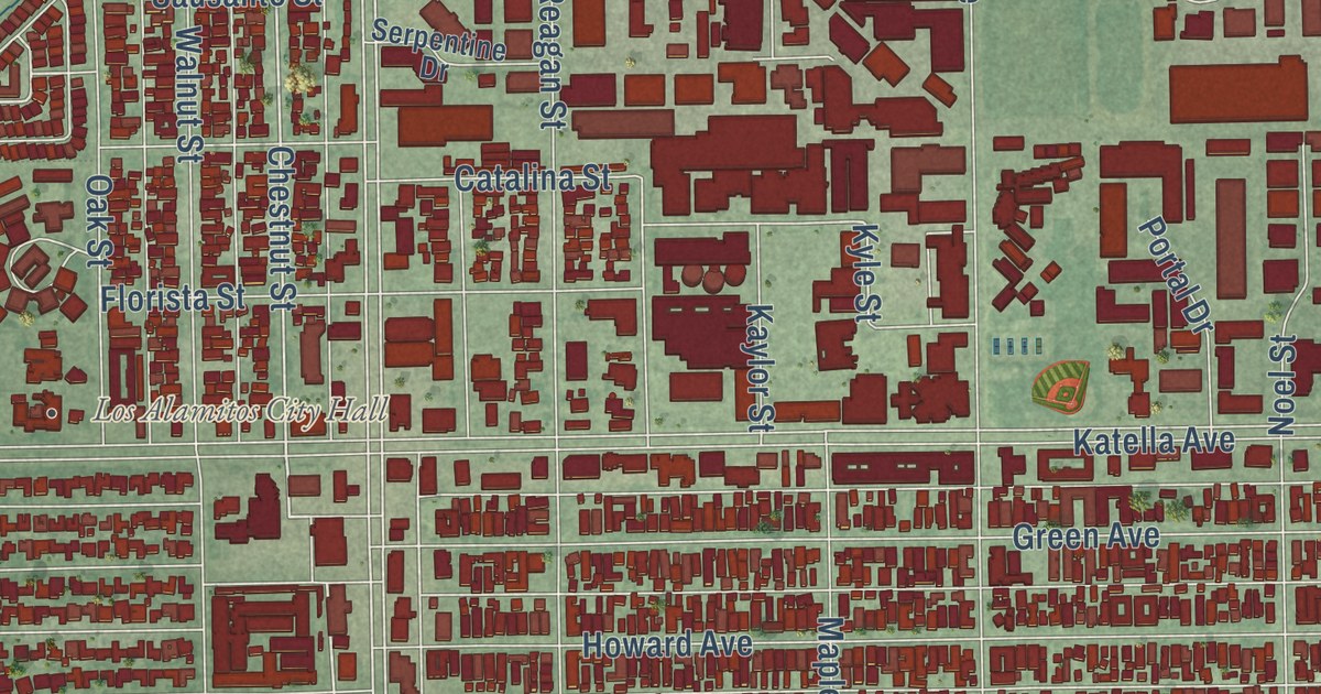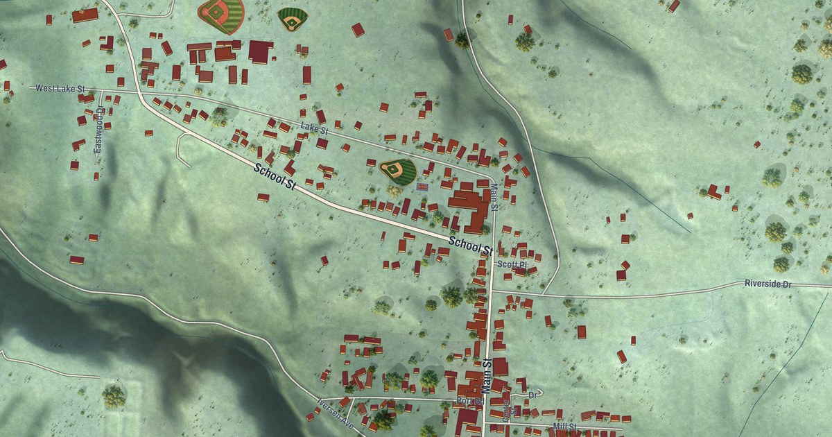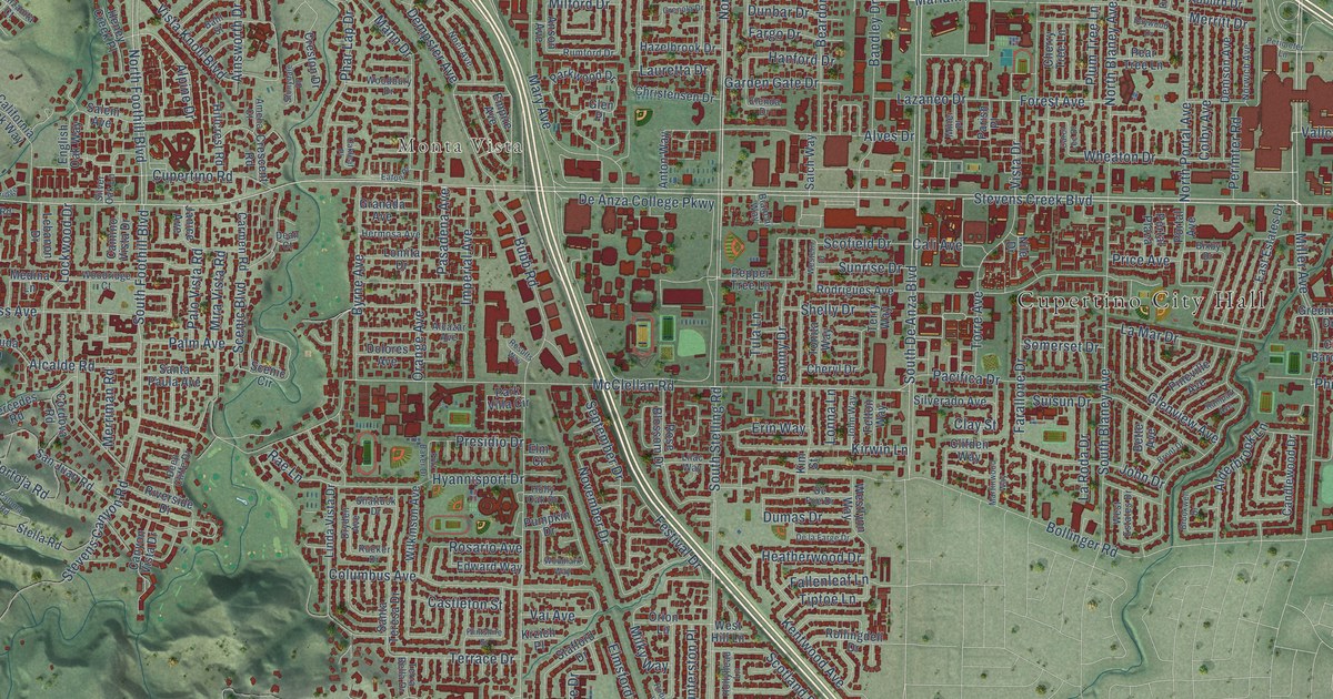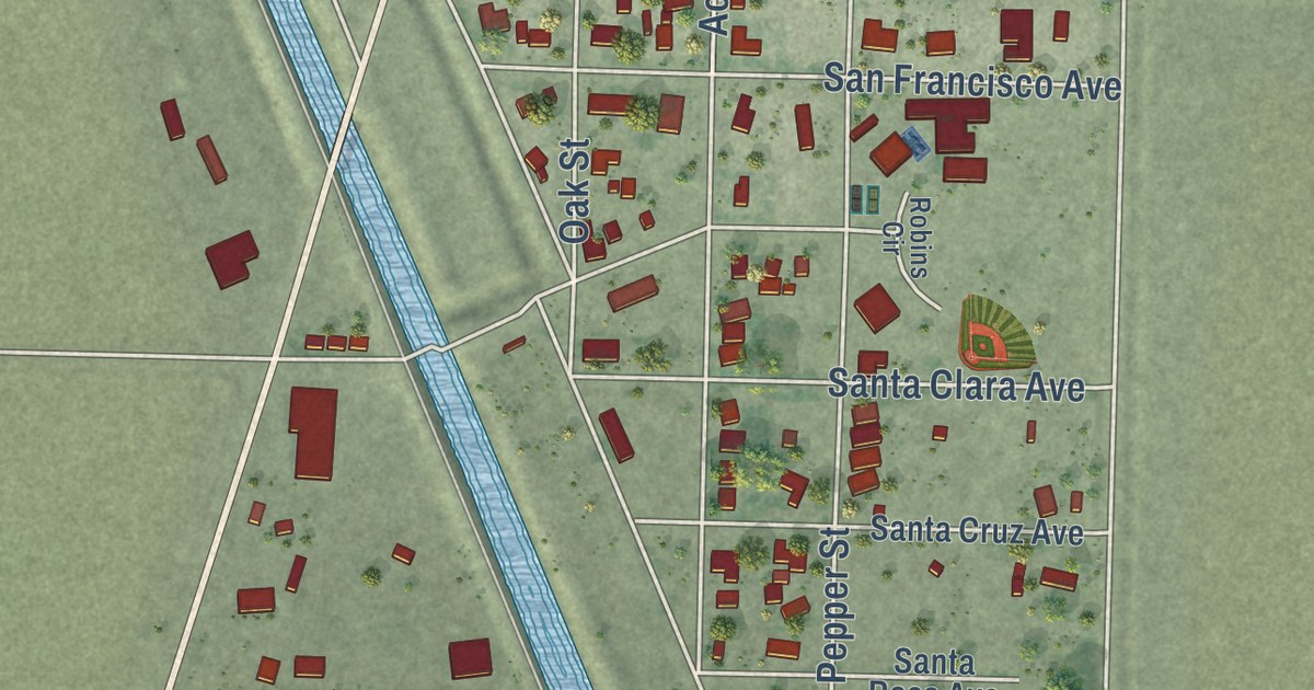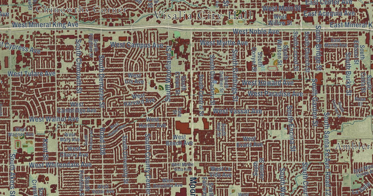
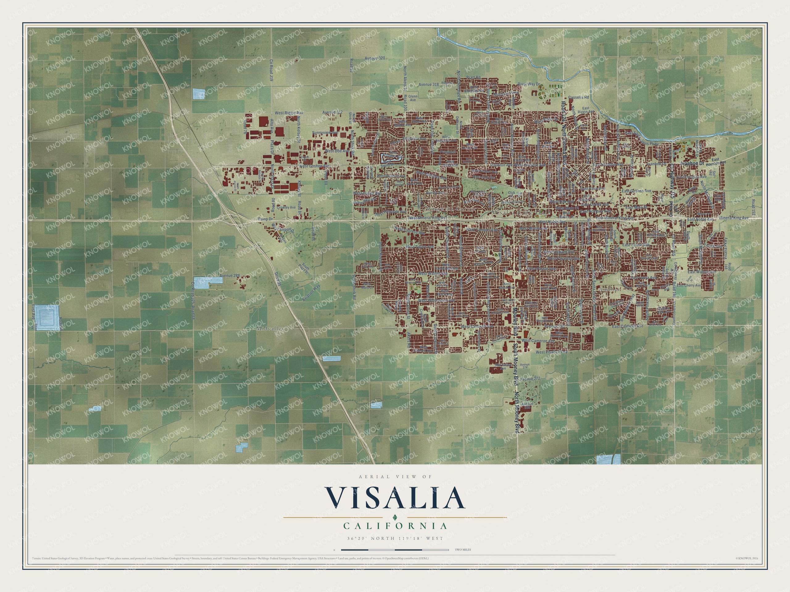
This beautifully detailed map of Visalia, California was created in 2026 using aerial imagery combined with modern topographical, census, street and landmark data. It’s a one-of-a-kind view of Visalia that combines accurate data with a vintage aesthetic. The map shows every building in its true location, many of the roads carry their names, and the shaded topographic relief shows the shape of the land.
Explore an aerial view of Visalia, California
On the map you’ll find Visalia City Hall, Ambler, Chinowths Corner, Midvalley, and Road 124, along with Ivanhoe Drive, County Highway J15, North Dinuba Boulevard, Mooney Boulevard, North Mooney Boulevard, South Mooney Boulevard, West Mineral King Avenue, and more. If you look closely you can even find your house accurately drawn in its correct location. Zoom in on the preview to look for yours.
Did you know this piece of Visalia, California history?
From the National Park Service: "The Bank of America building is a true landmark in Visalia and is one of the few remaining large scale public/commercial buildings from the early 20th century."
Take a closer look at the Visalia map
Street and place names on the Visalia, California map
These names are printed on the map of Visalia, California.
Places: Visalia City Hall, Midvalley, Chinowths Corner and Ambler.
Streets and roads: County Highway J15, South Mooney Boulevard, Road 124, Ivanhoe Drive, Mooney Boulevard, North Mooney Boulevard, North Dinuba Boulevard, West Mineral King Avenue, East Mineral King Avenue, South Court Street, Houston Avenue, Road 128.
More street names, A to Z
Akers Road, Alta Avenue, Arroyo Street, Ash Street, Avenue 268, Avenue 272, Avenue 274, Avenue 280, Avenue 288, Avenue 312, Avenue 318, Avenue 320, Aviation Way, Beech Drive, Ben Maddox Way, Birch Court, Boyer Lane, Camp Drive, Cassella Road, Cherry, Cherry Avenue, Clinton Court, Club Drive, Club Lane, Connelly Avenue, County Center, County Road J15, County Road J19, County Road J25, Crowley Avenue, Denton Street, Drive 85, East Acequia Avenue, East Arlen Avenue, East Caldwell Avenue, East Center Avenue, East Cherry Avenue, East College Avenue, East Douglas Avenue, East Goshen Avenue, East Houston Avenue, East Laura Avenue, East La Vida Avenue, East Main Street, East Mary Avenue, East Monte Verde Avenue, East Myrtle Avenue, East Noble Avenue, East Paradise Avenue, East Race Avenue, East Riggin Avenue, East Saint Johns Parkway, East School Avenue, East Tulare Avenue, East Vine Court, East Walnut Avenue, Elowin Avenue, Elowin Court, Ferguson Avenue, Fifth Street, First Avenue, Glenn Avenue, Grand Street, Green Acres Drive, Hangars Way, Hurley Avenue, Kelsey Street, Kent Street, La Salle, Levee Drive, Lindsay Court, Linwood, Mid Valley Avenue, Mineral King Avenue, Modoc Avenue, Monte Verde, North Akers Street, North Ben Maddox Way, North Bridge Street, North Burke Street, North Cain Street, North Conyer Street, North County Center Street, North Court Street, North Crenshaw Street, North Crowe Street, North Demaree Road, North Demaree Street, North Divisadero Street, North El Cajon Street, North Encina Street, North Enos Street, North Giddings Street, North Goddard Street, North Hall Avenue, North Highland Street, North Irma Street, North Jacob Street, North Kayenta Street, North Kelsey Street, North Leila Street, North Leslie Street, North Lindsay Street, North Locust Street, North Lovers Lane, North Mc Auliff Street, North McAuliff Street, North Nevada Street, North Noyes Street, North Patriot Street, North Plaza Drive, North Ranch Street, North Rinaldi Street, North Roeben Street, North Santa Fe Street, North Shirk Road, North Shirk Street, North Tipton Street, North Tommy Street, North Vista Street, North West Street, North Willis Street, Oak Avenue, Park Street, Pearl Street, Perez, Plaza Drive, Pratt Road, Prospect, Rio Vista Street, River Way Drive, Riverway Drive, Road 44, Road 48, Road 68, Road 76, Road 80, Road 84, Road 86, Road 88, Road 92, Road 100, Road 104, Road 108, Road 140, Road 148, Road 152, Rono, Rose Court, Sedona Avenue, Shannon Parkway, Simon Street, Sol Road, South Akers Street, South Aspen Street, South Ben Maddox Way, South Bridge Street, South Burke Street, South Cain Street, South Cedar Street, South Central Street, South Chinowth Street, South Church Street, South Conyer Street, South Cotta Street, South County Center Drive, South Crenshaw Street, South Crowe Street, South Dans Street, South Demaree Street, South Divisadero Street, South Dollner Street, South Edison Street, South Encina Street, South Fairway Street, South Fontana Street, South Fulgham Street, South Garden Street, South Giddings Street, South Hall Street, South Jacob Street, South Linwood Street, South Locust Street, South Lovers Lane, South McAuliff Street, South Memory Street, South Pinkham Street, South Plaza Street, South Roeben Road, South Santa Fe Avenue, South Shirk Road, South Sol Street, South Teddy Street, South Thomas Street, South University Street, South Velie Drive, South Villa Street, South Vista Street, South Watson Street, South West Street, South Woodland Street, Sunnyview Avenue, Tommy Street, Tulare Avenue, Tyler Avenue, Vine Avenue, Visalia Parkway, Watson, West Airport Drive, West Beech Avenue, West Border Links Drive, West Caldwell Avenue, West Cambridge Avenue, West Cameron Avenue, West Campus Avenue, West Cherry Avenue, West Cutler Avenue, West Cypress Avenue, West Delta Avenue, West Doe Avenue, West Dorothea Avenue, West Douglas Avenue, West Elkhorn Avenue, West Elowin Avenue, West Evans Avenue, West Ferguson Avenue, West Glendale Avenue, West Goshen Avenue, West Grove Avenue, West Grove Court, West Harter Avenue, West Harvard Avenue, West Hemlock Avenue, West Hillsdale Avenue, West Houston Avenue, West Howard Avenue, West Hurley Avenue, West Hyde Avenue, West Iris Avenue, West Judy Avenue, West Judy Court, West Lark Avenue, West La Vida Avenue, West Lisendra Drive, West Main Street, West Mary Avenue, West Mary Court, West Modoc Avenue, West Monte Vista Avenue, West Myrtle Avenue, West Nicholas Drive, West Noble Avenue, West Oak Avenue, West Oriole Avenue, West Packwood Drive, West Paradise Avenue, West Perez Avenue, West Pershing Avenue, West Prospect Avenue, West Rialto Court, West Riggin Avenue, West Robin Avenue, West Robin Drive, West Russell Avenue, West Sady Avenue, West School Avenue, West Sedona Avenue, West Stewart Avenue, West Sweet Avenue, West Sweet Drive, West Tulare Avenue, West Vassar Avenue, West Victor Avenue, West Vine Avenue, West Visalia Parkway, West Wagner Avenue, West Walnut Avenue, West Whitendale Avenue, West Willow Street, West Wren Avenue, Willow Avenue, Yale Street.
See the Visalia, California map on a wall
The Visalia map as an 18 x 24 inch print in a black frame.

This beautifully detailed map of Visalia makes an attractive addition to your office, library, or den, and it can even be used to teach children the geography and history of the area. It also makes a great gift for anyone with Visalia roots. When you’re done exploring, click here to get your copy of the Visalia map.