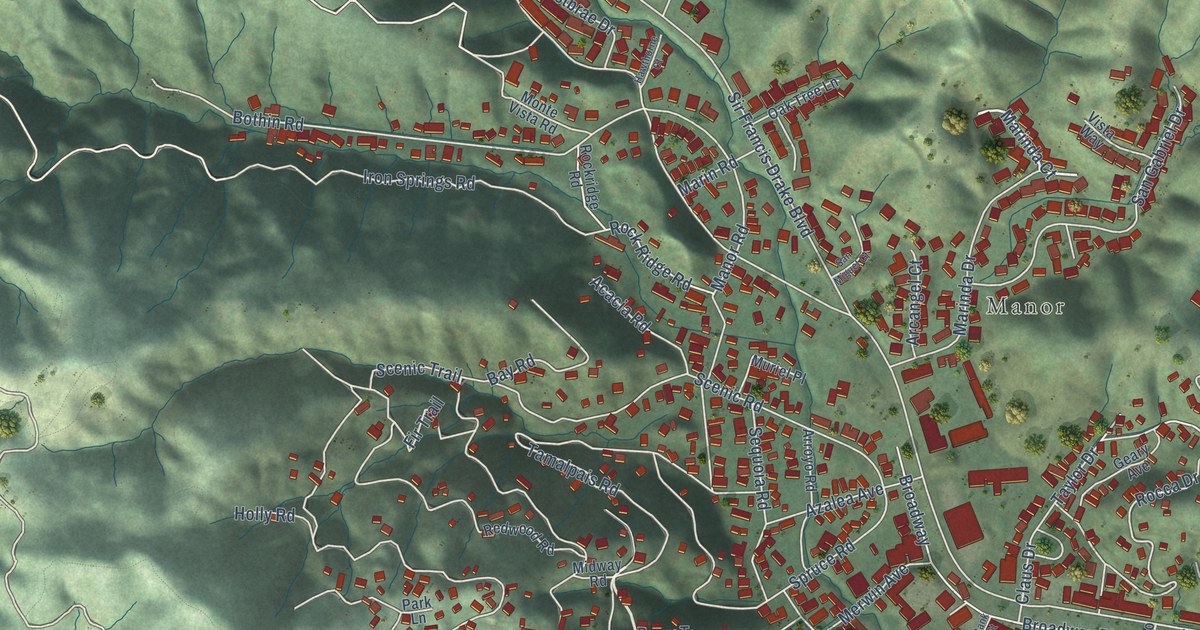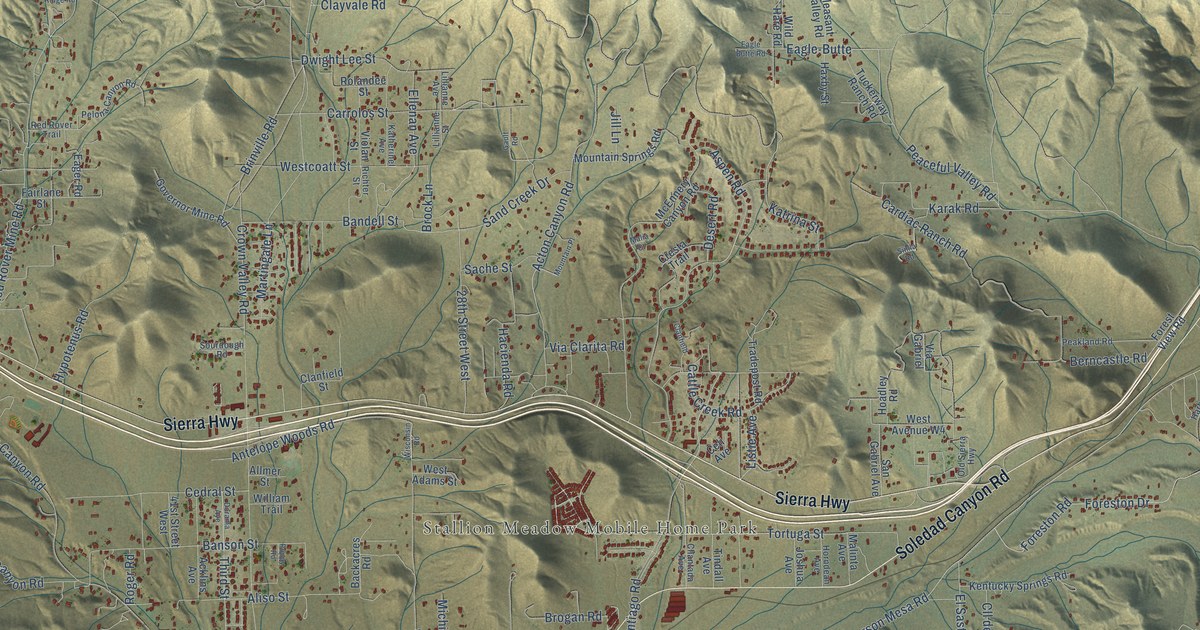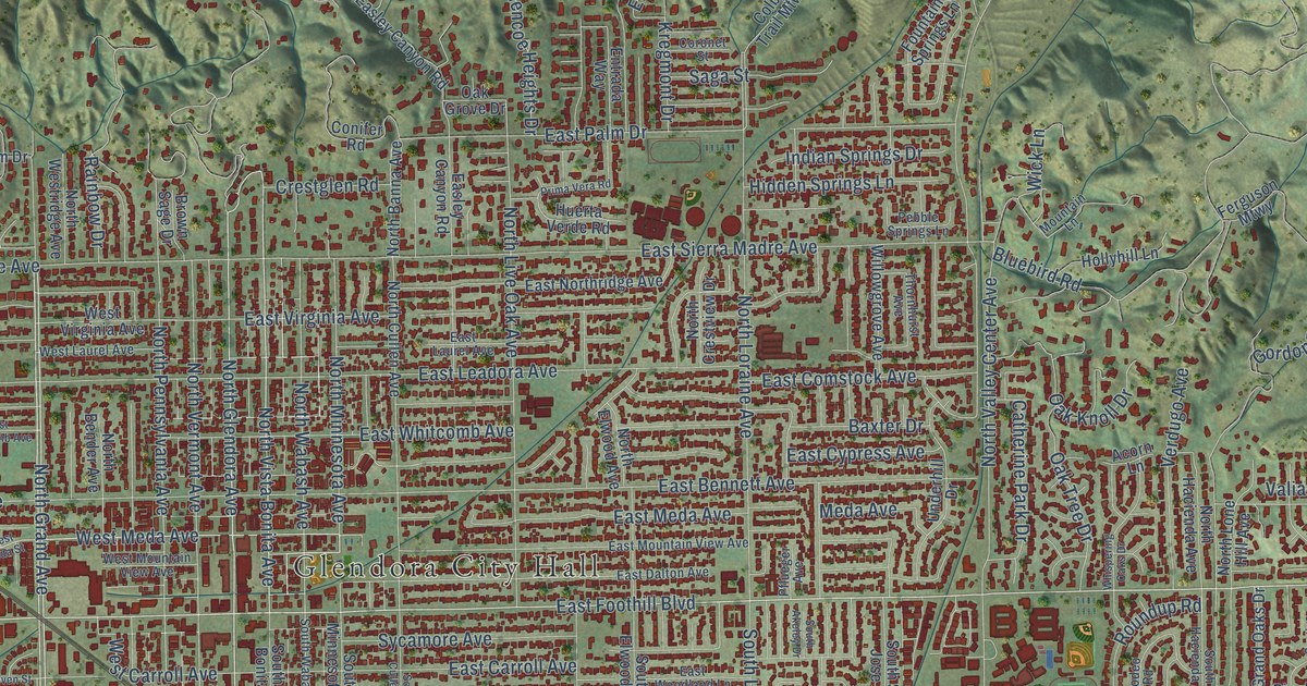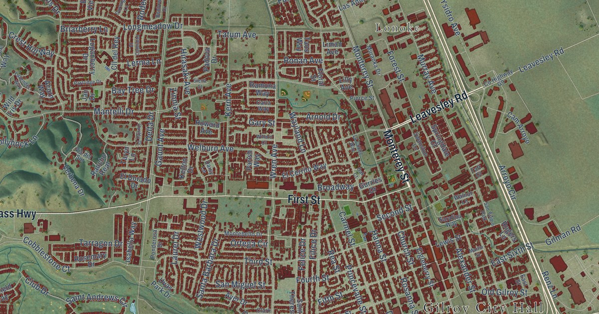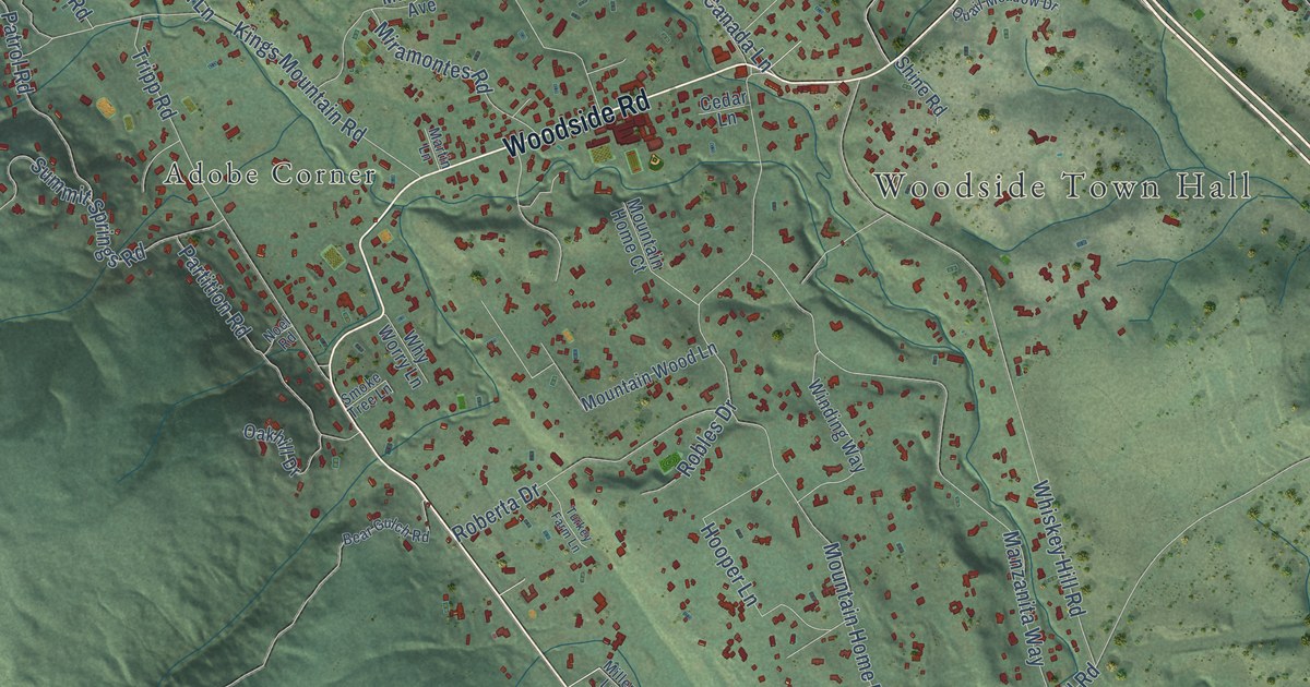
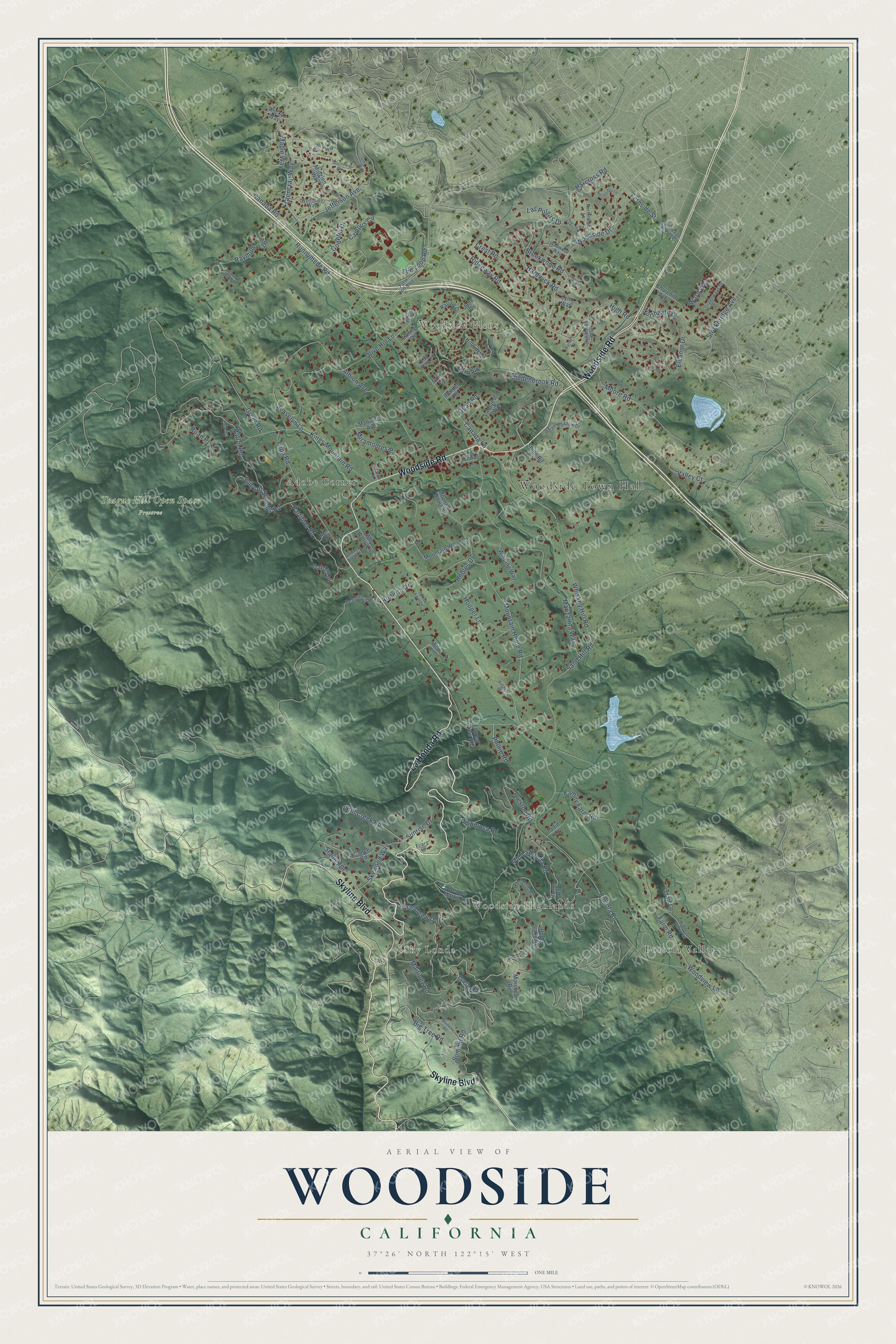
This beautifully detailed map of Woodside, California was created in 2026 using aerial imagery combined with modern topographical, census, street and landmark data. It's a modern aerial view of Woodside in San Mateo County, California, that combines modern data with a vintage aesthetic. The roads feature printed names, and if you look closely you can find your exact house accurately shown in its correct location.
Explore an aerial view of Woodside, California
On this map you'll find Woodside Town Hall, Sky Londa, Woodside Highlands, Woodside Glens, Teague Hill Open Space Preserve, Adobe Corner, Portola Valley, La Honda Road, Woodside Road, Skyline Boulevard, Old La Honda Road, Woodside Drive, and more. Each red shape is a building, so zoom in on the preview and look for yours.
Here is a piece of Woodside history, in the words of the record. The record at ohp.parks.ca.gov puts it this way: "About 300 feet south of this monument, on the banks of the Alambique Creek, stood San Mateo County's first sawmill, built by Charles Brown in 1847."
Woodside is a town in San Mateo County. The Census Bureau counted 5,309 people here in 2020.
Take a closer look at the Woodside map
Names on this map
These names are printed on this map.
Places: Woodside Town Hall, Sky Londa, Woodside Highlands, Woodside Glens, Teague Hill Open Space Preserve, Adobe Corner and Portola Valley.
Streets and roads: La Honda Road, Woodside Road, Skyline Boulevard, Old La Honda Road, Woodside Drive, Grandview Drive, Portola Road, Canada Road, Mountain Home Road, Kings Mountain Road, Albion Avenue, Whiskey Hill Road.
More street names, A to Z
Alameda de Las Pulgas, Alta Vista Road, Bardet Road, Barrett Drive, Bear Gulch Road, Big Tree Road, Brookwood Road, California Way, Campus Circle, Canada Lane, Cedar Lane, Churchill Avenue, Corto Lane, Crest Road, Dean Road, Dennis Martin Road, Eleanor Drive, Espinosa Road, Family Farm Road, Farm Hill Boulevard, Farm Road, Fernside Street, Forrest View Road, Friars Lane, Glencrag Way, Glenwood Avenue, Godetia Drive, Greenways Drive, Greer Road, Harcross Road, Hardwick Road, Hidden Valley Lane, High Road, Hillside Drive, Home Road, Hooper Lane, Jane Drive, Jefferson Avenue, Josselyn Lane, Laning Drive, La Questa Way, Las Pulgas Drive, Lindenbrook Road, Lynn Way, Manuella Avenue, Manzanita Way, Maple Way, Martinez Road, Martin Lane, Marva Oaks Drive, Medway Road, Midglen Way, Miller Lane, Miramontes Road, Mission Trail Road, Montecito Road, Moore Road, Morshead Road, Mountain Home Court, Mountain Wood Lane, Noel Road, Normandy Lane, Northgate Drive, Northridge Lane, Oakford Road, Oak Haven Way, Oakhill Drive, Olive Hill Lane, Otis Avenue, Partition Road, Patrol Court, Patrol Road, Phillip Road, Preston Road, Quail Meadow Drive, Ranch Road, Ravine Drive, Raymundo Drive, Ridgeway Road, Roan Place, Roberta Drive, Robles Drive, Rocky Way, Runnymede Road, Sand Hill Road, Sheridan Way, Shine Road, Skywood Way, Smoke Tree Lane, Southview Way, Stadler Drive, Still Creek Road, Stockbridge Avenue, Summit Road, Summit Springs Road, Sunrise Drive, Tadin Lane, The Loop Road, Trail Lane, Tripp Road, Tum Suden Way, Turkey Farm Lane, Upenuf Road, Upper Lake Road, Valley Court, Vintage Court, Ward Way, Why Worry Lane, Wildwood Way, Winding Way, Woodside Way, Woodview Lane.
Created by KNOWOL in 2026. The buildings are small red shapes, the roads carry their printed names, and shaded relief shows the shape of the land. The title panel reads "AERIAL VIEW OF WOODSIDE CALIFORNIA" with 37°26' NORTH 122°15' WEST.
It suits a den, a classroom or a front hall, and it makes a gift for anyone with Woodside roots. Open the preview and find the block you know. See sizes and frames for the Woodside map.