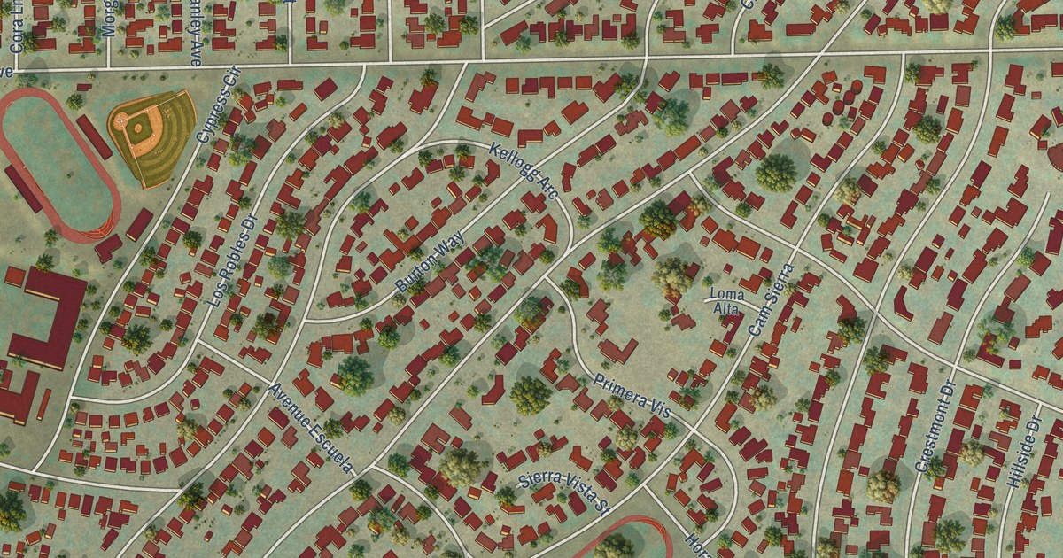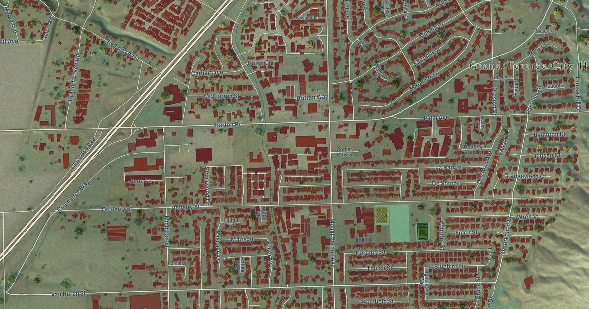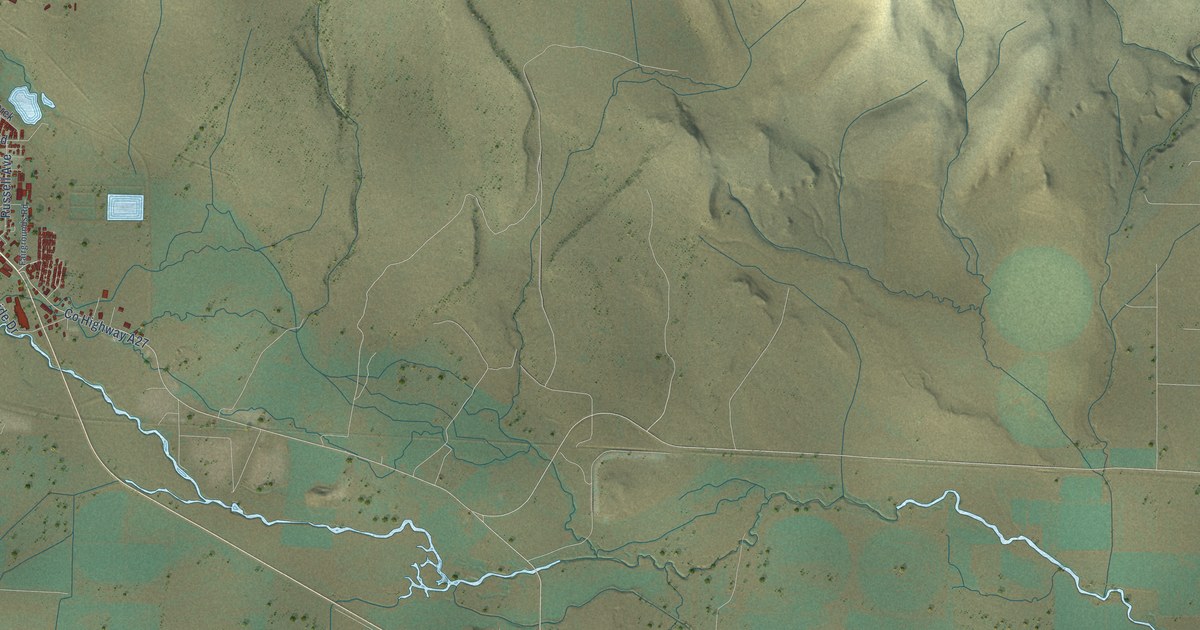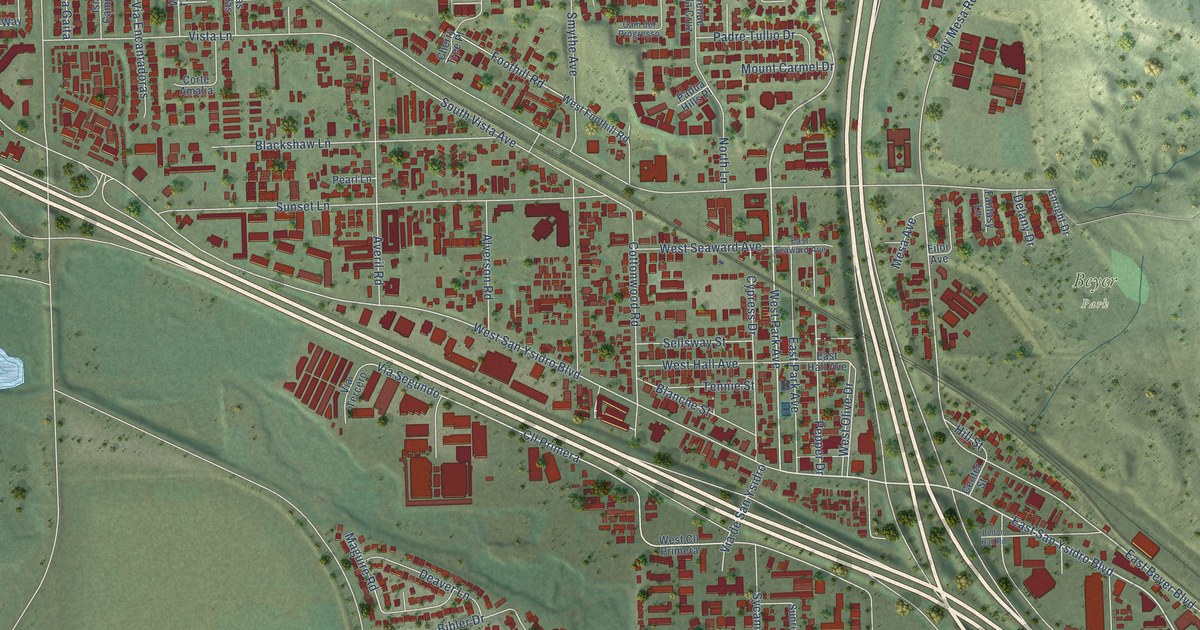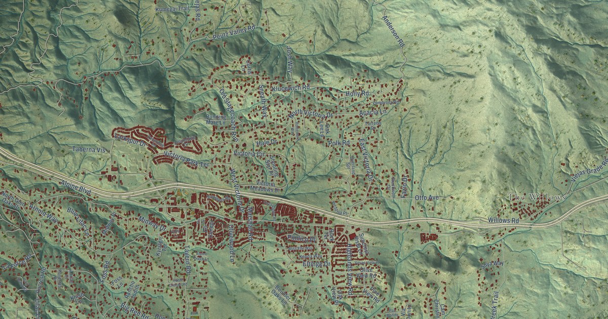
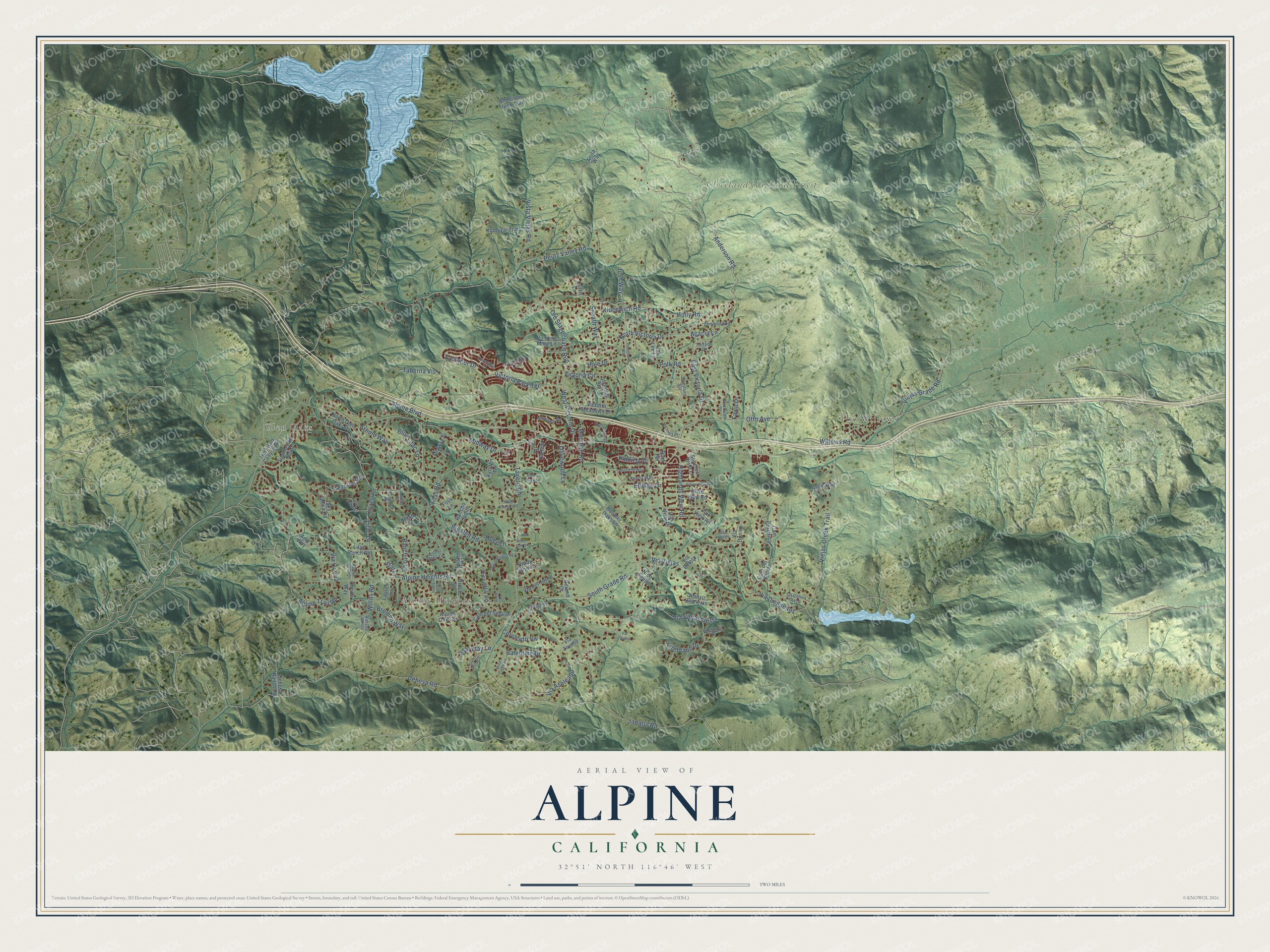
This beautifully detailed map of Alpine, California was created in 2026 using aerial imagery combined with modern topographical, census, street and landmark data. It's a modern aerial view of Alpine in San Diego County, California, that combines modern data with a vintage aesthetic. The roads feature printed names, and if you look closely you can find your exact house accurately shown in its correct location.
Explore an aerial view of Alpine, California
On this map you'll find Glen Oaks, The Willows, Alpine Heights, Cleveland National Forest, Alpine Boulevard, East Victoria Drive, Anderson Road, North Victoria Drive, Dehesa Road, Balentine Drive, South Grade Road, Tavern Road, and more. Each red shape is a building, so zoom in on the preview and look for yours.
Alpine has a story worth telling. The Alpine Historical Society puts it this way: "In 1887, Benjamin and Harriet Arnold moved to Alpine and helped to transform a stagecoach stop with thirty-five families into a permanent town."
Alpine is a community in San Diego County. The Census Bureau counted 14,696 people here in 2020.
Take a closer look at the Alpine map
Names on this map
These names are printed on this map.
Places: Glen Oaks, The Willows, Alpine Heights and Cleveland National Forest.
Streets and roads: Alpine Boulevard, East Victoria Drive, Anderson Road, North Victoria Drive, Dehesa Road, Balentine Drive, South Grade Road, Tavern Road, Peutz Valley Road, Arnold Way, Via Dieguenos, Japatul Road.
More street names, A to Z
Acacia Lane, Adrian Court, Alpine Creek Lane, Alpine Heights Road, Alpine Oaks Drive, Alpine Trail Road, Amy Way, Anderson Truck Trail, Anita Way, Arroyo de Viejas, Avenue del Cielo, Big Red Road, Big Wagon Road, Blackwolf Drive, Blue Lilac Lane, Boulder Oaks Lane, Boulders Road, Brady Jane Lane, Bremen Way, Cam Christina, Cam del Sequan, Cam del Vecino, Cam Scarpitta, Cll Colina Roca, Cll Conejo, Cll de Tierra, Columbine Drive, Columbine Road, Corine Way, Coronado Vw, Cully Lane, Curtis Lane, Dehesa Ranch Road, Deland Drive, Dewitt Estates Road, Eltinge Drive, Fazio Drive, Firebrand Drive, Firebrand Place, Flo Drive, Foss Lane, Foss Road, Geyer Lane, Grace Lane, Hale Drive, Harbison Canyon Road, Hawks Vista Lane, Highlands View Road, Holly Road, Homeward Way, Huey Lane, Josh Way, Kenda Way, Khish Lane, Klucewich Road, Kumeyai Trail, Kyrsten Terrace, La Force Road, Larkspur Drive, Lauren Lane, Lilac Lane, Lilac Ranch Road, Little Oaks Lane, Marshall Road, Midway Drive, Midway Place, Miss Elle Way, Nido Aguila, North Glen Oaks Drive, Oak Lee Lane, Oak View Place, Old Stagecoach Run, Olive View Road, Olivewood Lane, Otto Avenue, Overland Spr, Panettah Drive, Pimlico Place, Pine View Road, Polk Road, Pso Donito, Ranchito Lane, Rancho Judith, Rancho Willits, Real Way Lane, Roble Grande Road, Rock Terrace, Rocrest Road, Running Mare Lane, Shooting Star Place, Shya Way, Sky Mesa Road, Sneath Way, Star Lane, Summerhill Point, Suncrest Vista Lane, Taberna Vis, Torreon Drive, Twisted Oak Lane, Via Asoleado, Via Belota, Via Corina, Via del Torrie, Via Donito, Via Tesoro, Via Trueno, Via Viejas, Via Viejas Oeste, Victoria Circle, Victoria Meadows Drive, Victoria Park Terrace, Victoria Place, Viejas Creek Trail, Viejas Grade Road, Viejas View Place, Vista Alpine Road, Vista Viejas Road, West Victoria Drive, White Oak Drive, Willits Road, Willows Road, Wind Creek Road, Yucca Hill Road, Zumbrota Road.
Created by KNOWOL in 2026. The buildings are small red shapes, the roads carry their printed names, and shaded relief shows the shape of the land. The title panel reads "AERIAL VIEW OF ALPINE CALIFORNIA" with 32°51' NORTH 116°46' WEST.
It looks right in a kitchen, an office or a den, and it's a gift for anyone who grew up in Alpine or moved away. Open the preview and find your street. See sizes and frames for the Alpine map.