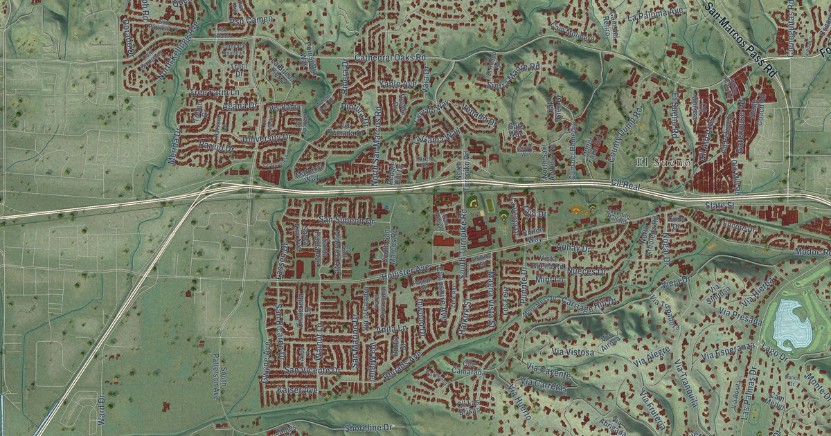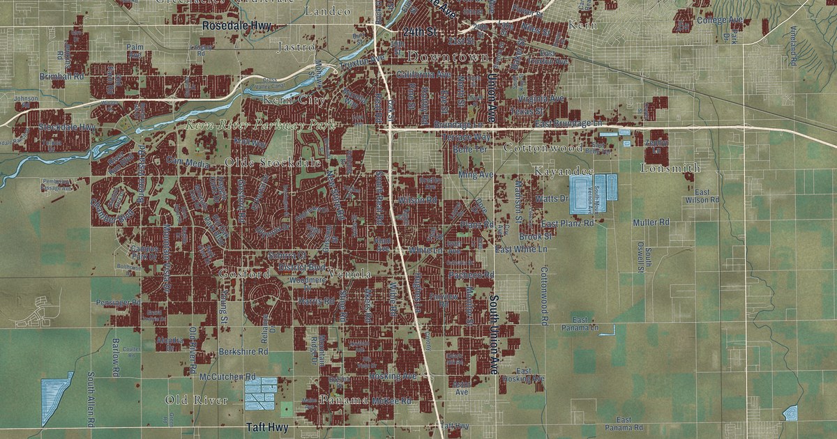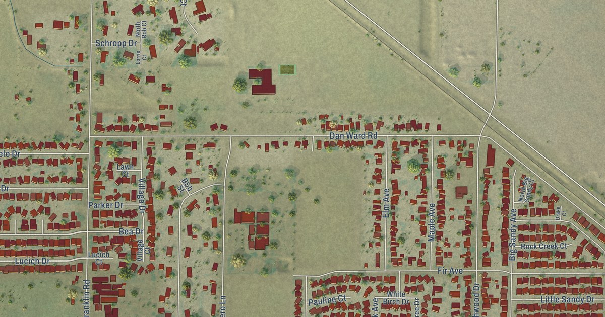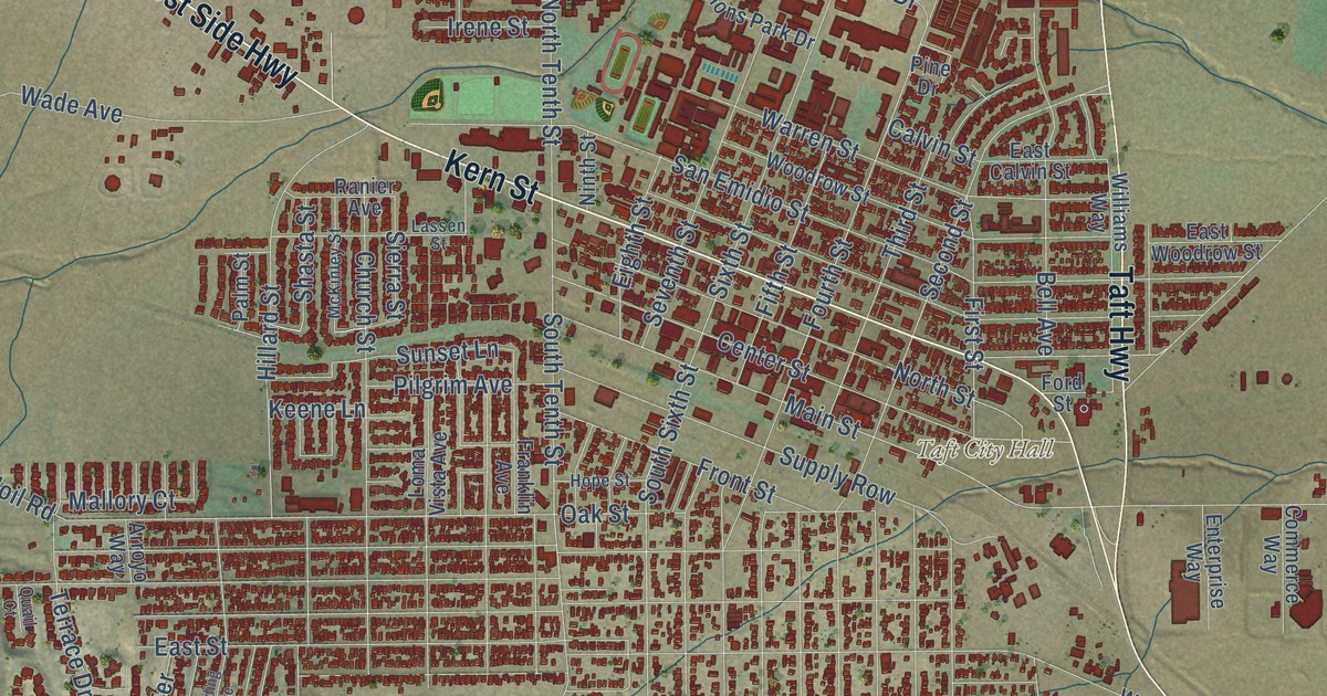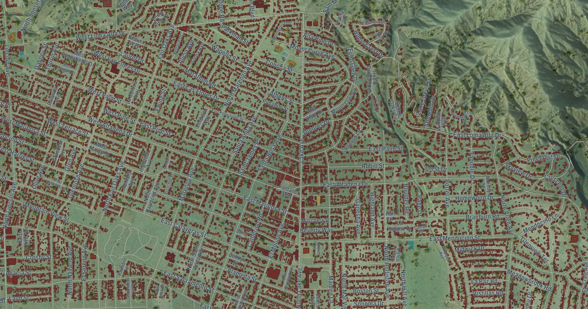
This beautifully detailed map of Altadena, California was created in 2026 using aerial imagery combined with modern topographical, census, street and landmark data. It’s a one-of-a-kind view of Altadena that combines accurate data with a vintage aesthetic. The map shows every building in its true location, many of the roads carry their names, and the shaded topographic relief shows the shape of the land.
Explore an aerial view of Altadena, California
On the map you’ll find East Loma Alta Drive, Windsor Avenue, Vermont Street, Lake Avenue, Fair Oaks Avenue, North Lincoln Avenue, East New York Drive, Casitas Avenue, East Altadena Drive, East Woodbury Road, East Mendocino Street, New York Drive, and more. If you look closely you can even find your house accurately drawn in its correct location. Zoom in on the preview to look for yours.
Did you know this piece of Altadena, California history?
From the Altadena Heritage: "Altadena was opened as a subdivision in late 1887 by John and Fred Woodbury from Marshalltown, Iowa."
Take a closer look at the Altadena map
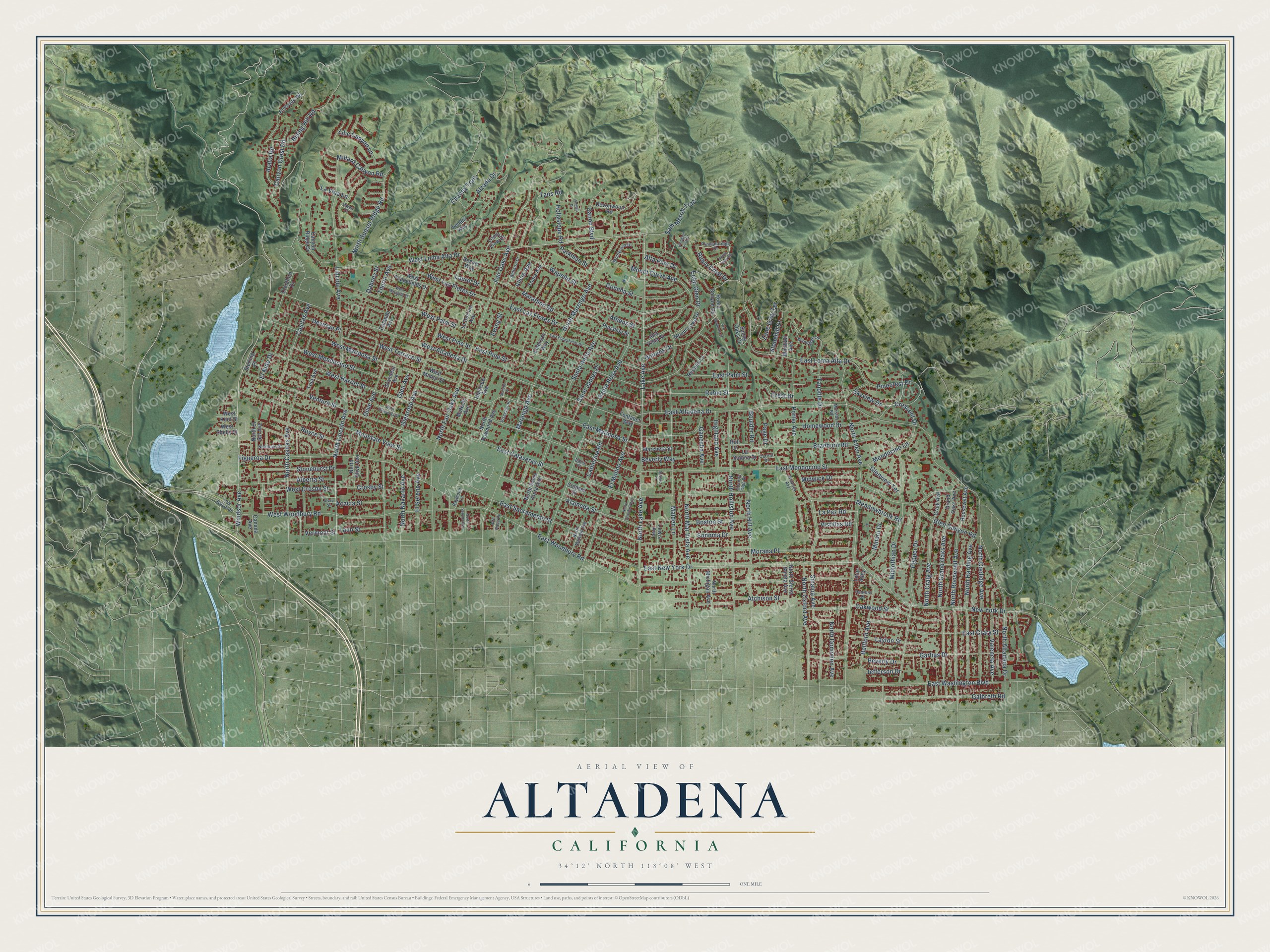
Street names on the Altadena, California map
These names are printed on the map of Altadena, California.
Streets and roads: East Loma Alta Drive, Windsor Avenue, Vermont Street, Lake Avenue, Fair Oaks Avenue, North Lincoln Avenue, East New York Drive, Casitas Avenue, East Altadena Drive, East Woodbury Road, East Mendocino Street, New York Drive.
More street names, A to Z
Acacia Street, Alameda Street, Alberta Street, Alicia Avenue, Alta Pasa Drive, Alta Pine Drive, Alta Vista Drive, Alvey Street, Alzada Drive, Aralia Road, Atchison Street, Athens Street, Barry Place, Bellaire Drive, Bellford Avenue, Beverly Drive, Beverly Way, Boston Street, Boulder Road, Braeburn Road, Calanda Avenue, Canada Avenue, Canon Boulevard, Canyon Crest Road, Canyon Ridge Drive, Carroll Drive, Catherine Road, Chaney Trail, Colman Street, Concha Street, Country Club Drive, Craig Avenue, Crescent Drive, Crest Drive, Crestford Drive, Crosby Street, Dabney Street, Devirian Place, Devonwood Road, Dolores Drive, East Calaveras Street, East Crary Street, East Las Flores Drive, East Mariposa Street, East Palm Street, East Pine Street, East Poppyfields Drive, East Sacramento Street, East Washington Boulevard, Echo Glen Drive, Ellington Villa Drive, El Molino Avenue, El Nido Drive, El Prieto Road, El Sereno Avenue, Emerson Way, Ewing Street, Figueroa Drive, Fontanet Way, Galbreth Road, Ganesha Avenue, Garfias Drive, Glen Avenue, Glen Canyon Road, Glenrose Avenue, Glenview Terrace, Grandeur Avenue, Grand Oaks Avenue, Hanford Drive, Highland Avenue, Highview Avenue, Hollyslope Road, Homewood Drive, Hull Lane, Jefferson Drive, La Corona Avenue, La Paz Road, La Solana Drive, Laun Street, Laurel Drive, La Vina Lane, Layton Street, Leilani Way, Lewis Avenue, Lilic Canyon Lane, Lincoln Avenue, Loma View Drive, Lotus Alley, Maiden Lane, Marathon Road, Marcheta Street, Marengo Avenue, McNally Avenue, Meadowbrook Road, Mendocino Lane, Midlothian Drive, Midwick Drive, Millard Canyon Road, Minoru Drive, Monterosa Drive, Morada Place, Morslay Road, Mountain View Street, Mount Curve Avenue, Mount Lowe Drive, Neldome Street, North Allen Avenue, North Altadena Drive, North Casitas Avenue, North Coolidge Avenue, North Craig Avenue, North Crawford Avenue, North Dominion Avenue, North El Sol Avenue, North Fair Oaks Avenue, North Grand Oaks Avenue, North Harding Avenue, North Hill Avenue, North Holliston Avenue, North Lake Avenue, North Madison Avenue, North Marengo Avenue, North Mar Vista Avenue, North Michigan Avenue, North Navarro Avenue, North Olive Avenue, North Oxford Avenue, North Raymond Avenue, North Roosevelt Avenue, North Santa Anita Avenue, North Sierra Bonita Avenue, North Summit Avenue, North Sunset Ridge Road, Norwic Place, Oak Grove Drive, Oakwood Street, Olive Avenue, Owen Court, Page Drive, Parkman Street, Pepper Drive, Pinecrest Drive, Pleasantridge Drive, Porter Avenue, Punahou Street, Raymond Lane, Reever Way, Reposa Lane, Rising Hill Road, Roosevelt Avenue, Royce Street, Rubio Canyon Road, Rubio Crest Drive, Rubio Street, Rubio Vista Road, Saint James Place, Sam Merrill Trail, Santa Anita Avenue, Santa Rosa Avenue, Scripps Place, Sinaloa Avenue, Skyview Drive, Sonoma Drive, Sterling Place, Stonehill Drive, Stonehurst Drive, Sunny Oaks Circle, Tanoble Drive, Taos Road, Thurin Avenue, Tola Avenue, Tonia Avenue, Valencia Avenue, Ventura Street, Via Maderas Street, Vinehill Drive, Visscher Place, Vistillas Road, Wapello Street, West Altadena Drive, West Calaveras Street, West Crosby Street, West Harriet Street, West Kent Street, West Las Flores Drive, West Loma Alta Drive, West Manor Street, West Marigold Street, West Mariposa Street, West Mendocino Street, West Palm Street, West Pine Street, West Poppyfields Drive, West Shelly Street, West Terrace Street, West Woodbury Road, Windfall Avenue, Winrock Avenue, Woodglen Lane, Zane Grey Terrace.
See the Altadena, California map on a wall
The Altadena map as an 18 x 24 inch print in a black frame.

This beautifully detailed map of Altadena makes an attractive addition to your office, library, or den, and it can even be used to teach children the geography and history of the area. It also makes a great gift for anyone who grew up in Altadena or moved away. When you’re done exploring, click here to get your copy of the Altadena map.