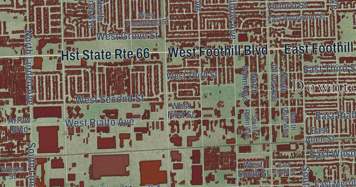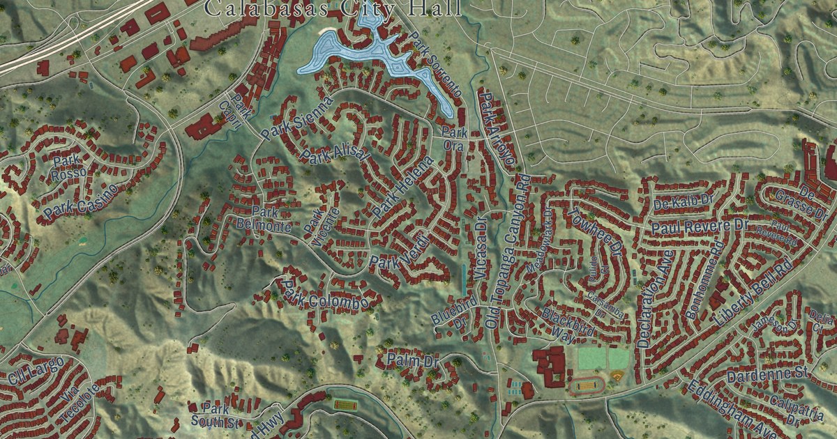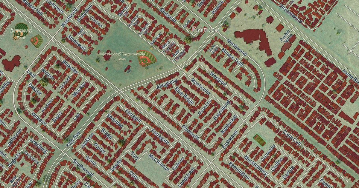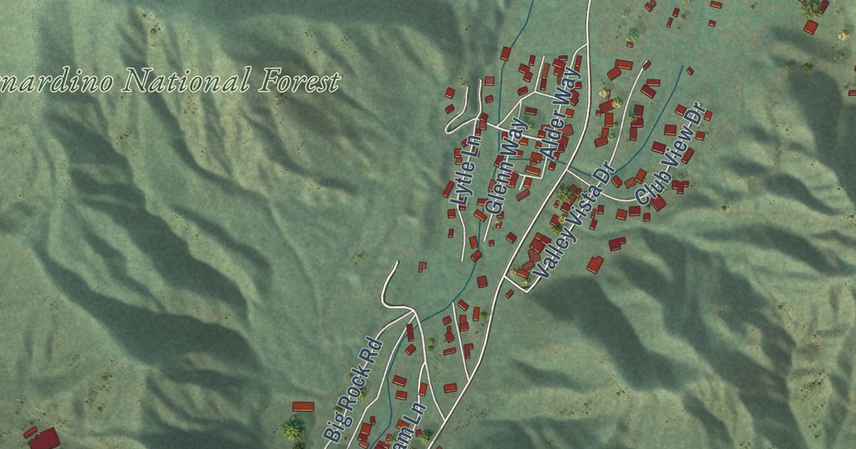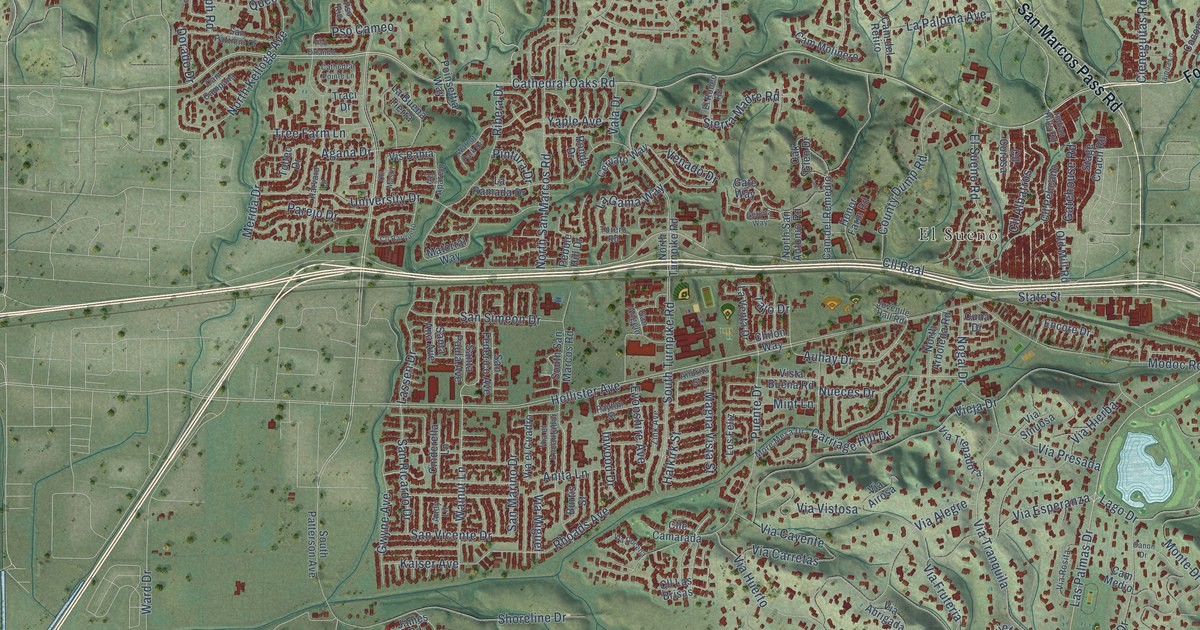
This beautifully detailed map of Eastern Goleta Valley, California was created in 2026 using aerial imagery combined with modern topographical, census, street and landmark data. It’s a one-of-a-kind view of Eastern Goleta Valley that combines accurate data with a vintage aesthetic. The map shows every building in its true location, many of the roads carry their names, and the shaded topographic relief shows the shape of the land.
Explore an aerial view of Eastern Goleta Valley, California
On the map you’ll find Irma, More Mesa, El Sueno, Hope Ranch, Cll Albatros, and Cll Real, along with Foothill Road, San Marcos Pass Road, Cathedral Oaks Road, North Fairview Avenue, Creciente Drive, Estrella Drive, and more. If you look closely you can even find your house accurately drawn in its correct location. Zoom in on the preview to look for yours.
Did you know this piece of Eastern Goleta Valley, California history?
Thomas Hope, an Irishman, moved to Santa Barbara in 1849. Around 1861 he bought coastal land here to raise sheep. That land became Hope Ranch, which is named after him and was counted in Eastern Goleta Valley for the 2020 census. He built a two-story home there in 1875.
Take a closer look at the Eastern Goleta Valley map
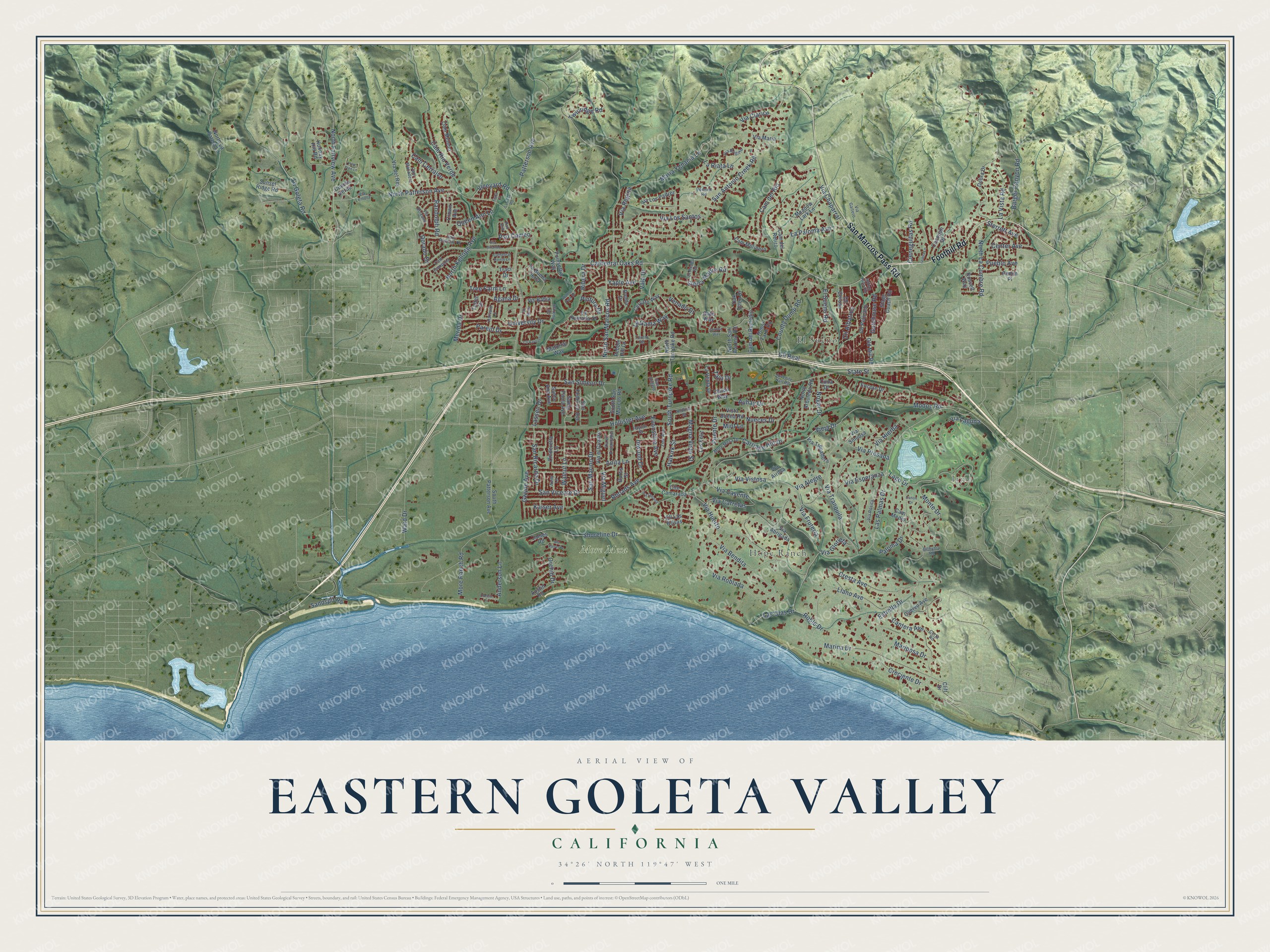
Street and place names on the Eastern Goleta Valley, California map
These names are printed on the map of Eastern Goleta Valley, California.
Places: Irma, More Mesa, El Sueno and Hope Ranch.
Streets and roads: Foothill Road, San Marcos Pass Road, Cathedral Oaks Road, North Fairview Avenue, Cll Albatros, Creciente Drive, Estrella Drive, Cll Real, El Sueno Road, Lago Drive, North Patterson Avenue, Las Palmas Drive.
More street names, A to Z
Agana Drive, Anderson Lane, Andrita Street, Andy Lane, Anita Lane, Auhay Drive, Austin Road, Barger Canyon Road, Bithynia Road, Burtis Street, Cam Campana, Cam Cerralvo, Cam del Remedio, Cam del Retiro, Cam del Rio, Cam Manadero, Cam Medio, Cam Meleno, Cam Molinero, Cam Rio Verde, Canon Drive, Cantera Avenue, Carriage Hill Drive, Cathedral Pointe Lane, Center Avenue, Cervato Way, Chilon Way, Cieneguitas Road, Cinderella Lane, Cliff Drive, Cll Aparejo, Cll Barquero, Cll Corosa, Clle Camarada, Cll Las Brisas, Cll Mastil, Cll Pelicano, Cocopah Drive, Corta Road, County Dump Road, Cresta Avenue, Crown Avenue, Cuervo Avenue, Cuesta Verde, Cuna Drive, Debra Drive, Dorado Drive, Dorwin Lane, El Rodeo Road, Encore Drive, Evonshire Avenue, Gatehouse Road, Gate Way, Gerona Way, Gwyne Avenue, Halkirk Street, Harvard Lane, Holiday Hill Road, Hollister Avenue, Honor Farm Road, Iaiqua Lane, Indian Hills Road, Inwood Drive, James Road, Juvenile Hall Road, Kaiser Avenue, La Buena Tierra, La Gama Way, La Goleta Road, La Josa Road, La Paloma Avenue, La Ramada Drive, La Riata Lane, Las Olas Drive, Lassen Drive, La Venta Drive, La Vista Road, Llano Avenue, Los Feliz, Magna Vista Street, Maria Ygnacia Lane, Marina Drive, Mariposa Drive, Matorral Way, Meadow Lark Lane, Merida Drive, Mint Lane, Modoc Road, Monte Drive, More Mesa Drive, More Ranch Road, Nogal Drive, North Arboleda Road, North Kellogg Avenue, North La Cumbre Road, North La Patera Lane, North San Antonio Road, North San Marcos Road, North Turnpike Road, Nueces Drive, Oak Glen Drive, Old Mill Road, Orchid Drive, Paloma Drive, Parejo Drive, Patterson Avenue, Payton Street, Pebble Hill Drive, Pemm Place, Pennell Road, Pine Tree Lane, Pintura Drive, Poinsettia Way, Pso Cameo, Pso Orlando, Pso Rio, Pueblo Avenue, Puente Drive, Queen Ann Lane, Randolph Road, Rhoads Avenue, Ribera Drive, Roble Drive, Ronda Drive, Russell Way, San Angelo, San Antonio Creek Road, Sandspit Road, San Federico Avenue, San Marino Drive, San Patricio Drive, San Ricardo Drive, San Simeon Drive, Santa Ana Avenue, Santa Paula Avenue, San Vicente Drive, Shoreline Drive, Sierra Madre Road, South Patterson Avenue, South San Marcos Road, South Turnpike Road, Stage Coach Road, State Street, Sterrett Avenue, Sunset Ridge Road, Tajo Drive, Tisha Court, Toltec Drive, Torero Road, Traci Drive, Tree Farm Lane, Twinridge Road, University Drive, Vala Drive, Venado Drive, Via Abrigada, Via Airosa, Via Alegre, Via Bendita, Via Bolzano, Via Brigitte, Via Carretas, Via Cayente, Via Chaparral, Via Clarice, Via del Rey, Via Docena, Via el Cuadro, Via el Encantador, Via Esperanza, Via Fruteria, Via Gaitero, Via Glorieta, Via Hierba, Via Huerto, Via Laguna, Via Lemora, Via Los Padres, Via Los Santos, Via Maria, Via Miguel, Via Presada, Via Regina, Via Roblada, Via Rosita, Via Sinuosa, Via Tranquila, Via Trepadora, Via Valverde, Via Vistosa, Vieja Drive, Vineyard Road, Vis Bahia, Vista Buena Road, Walnut Lane, Walnut Park Drive, Ward Drive, Yaple Avenue, Zink Avenue.
See the Eastern Goleta Valley, California map on a wall
The Eastern Goleta Valley map as an 18 x 24 inch print in a black frame.

This beautifully detailed map of Eastern Goleta Valley makes an attractive addition to your office, library, or den, and it can even be used to teach children the geography and history of the area. It also makes a great gift for anyone with Eastern Goleta Valley roots. When you’re done exploring, click here to get your copy of the Eastern Goleta Valley map.