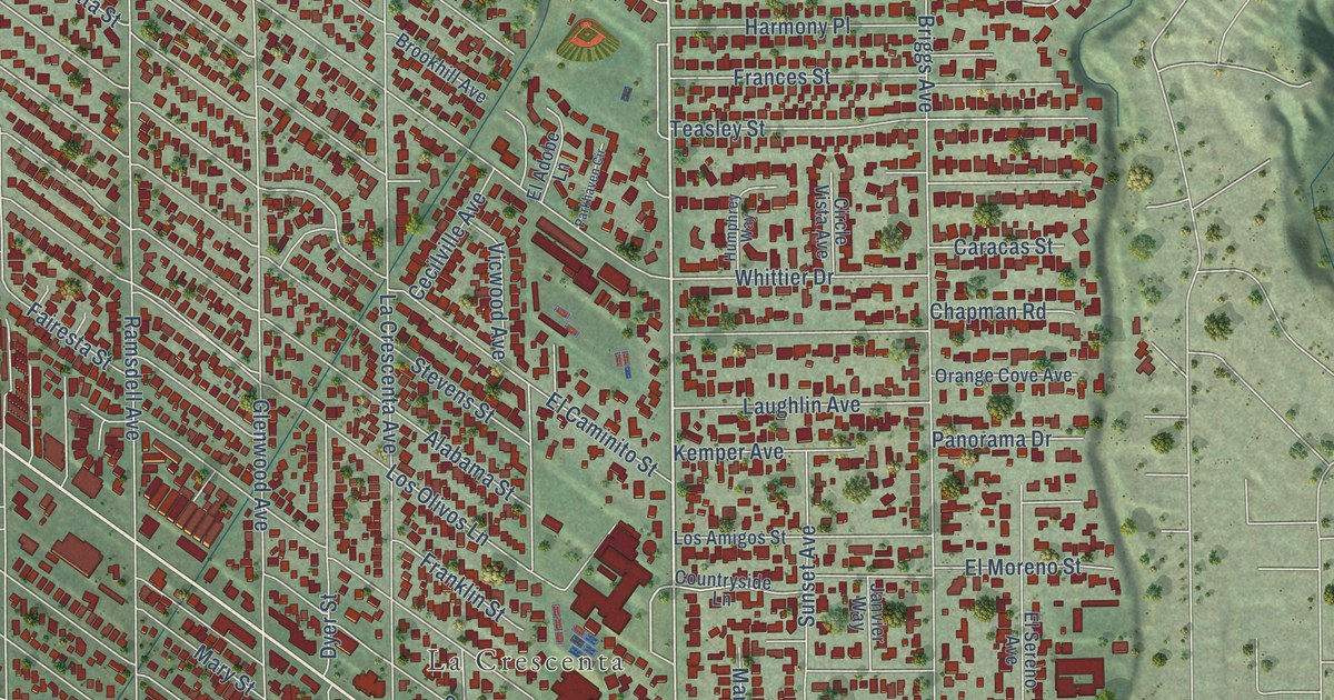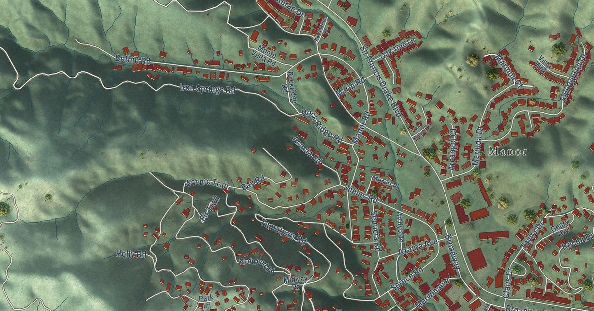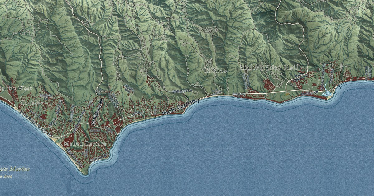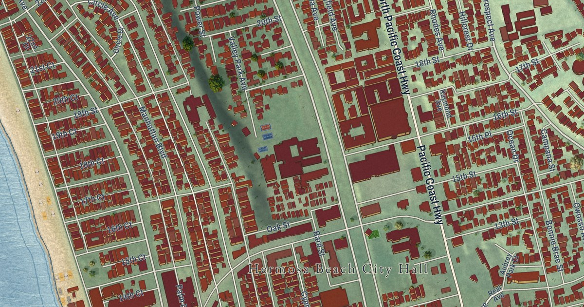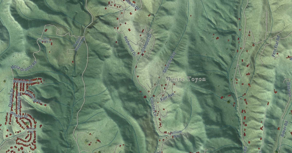
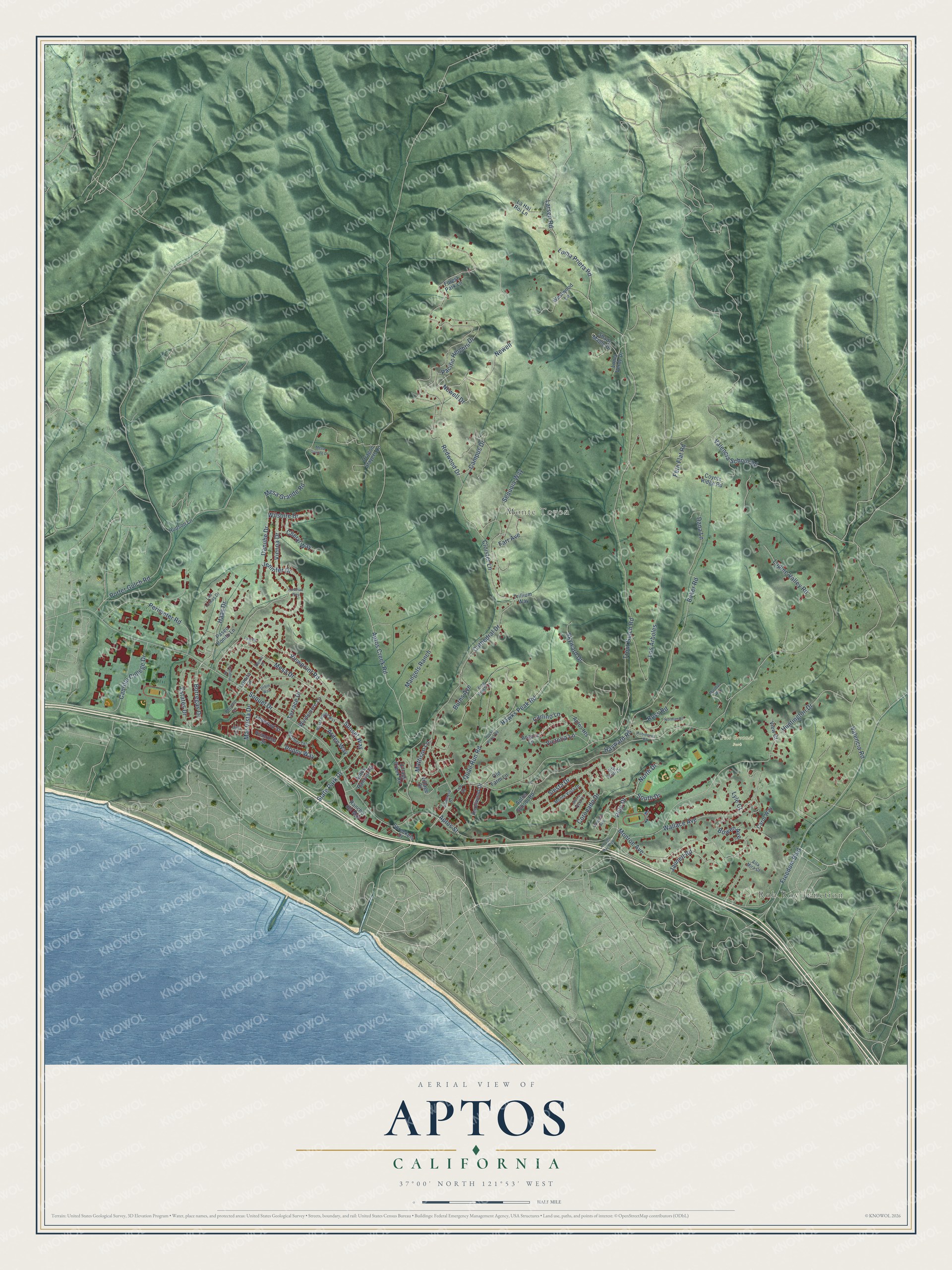
This beautifully detailed map of Aptos, California was created in 2026 using aerial imagery combined with modern topographical, census, street and landmark data. It's a modern aerial view of Aptos in Santa Cruz County, California, that combines modern data with a vintage aesthetic. The roads feature printed names, and if you look closely you can find your exact house accurately shown in its correct location.
Explore an aerial view of Aptos, California
On this map you'll find Rob Roy Junction, Monte Toyon, Polo Grounds Park, Newell Drive, Haas Drive, Polo Drive, Estates Drive, Aptos Creek Road, Mesa Grande Road, State Park Drive, Soquel Drive, Valencia Road, and more. Each red shape is a building, so zoom in on the preview and look for yours.
Here is a piece of Aptos history, in the words of the record. The National Register of Historic Places puts it this way: "During this period in the mid 1870s, Jose Arano had already established himself as a success
ful merchant in the town of Aptos."
Aptos is a community in Santa Cruz County. The Census Bureau counted 6,664 people here in 2020.
Take a closer look at the Aptos map
Names on this map
These names are printed on this map.
Places: Rob Roy Junction, Monte Toyon and Polo Grounds Park.
Streets and roads: Newell Drive, Haas Drive, Polo Drive, Estates Drive, Aptos Creek Road, Mesa Grande Road, State Park Drive, Soquel Drive, Valencia Road, Trout Gulch Road, Cathedral Drive, Redwood Drive.
More street names, A to Z
Alta Mira Court, Alta Verdi Drive, Angora Lane, Aptos Heights, Aptos Rancho Road, Aptos School Road, Aptos Street, Arden Way, Austrian Way, Baker Road, Borregas Drive, Bowen Avenue, Burns Avenue, Cabrillo College Drive, Calabria Street, Campus Drive, Carlino Lane, Carol Way, Cheryl Way, Cloister Lane, Coronado Drive, Coyote Ridge Road, Dana Lane, Danko Drive, Danube Drive, Dragon Slayers Lane, Farr Avenue, Fern Flat Road, Forest Park Lane, Freedom Boulevard, Hawks Peak Road, Hayward Road, Heather Terrace, Hocks Roost Road, Hudson Lane, Huntington Drive, Jaunell Road, Jennifer Drive, King Krest Lane, Knollwood Drive, La Hai Roi Lane, Larsen Road, Las Lomas Drive, Leawood Street, Loma Prieta Road, Loma Verde Place, Lomita Court, Lori Lane, Los Arboles, Lupine Valley Road, Lyle Court, Lynette Drive, Mangels Ranch, Marthas Way, Mar Vista Drive, Mattison Lane, Mesa Drive, Mesa Grande Drive, Millie Court, Monroe Avenue, Monte Vista Drive, Newell, Norman Road, North Drive, Old Farm Lane, Pacific Heights Drive, Paseo Bonito Lane, Perimeter Road, Phoebe Lane, Poppy Way, Porter Gulch Road, Primrose Street, Quail Run Road, Rancho del Mar, Rio del Mar Boulevard, Robideaux Road, Ross Road, Sequoia Way, Shady Maple Drive, Sierra Vista Court, Siesta Drive, Skyward Drive, South Drive, Spreckels Drive, Sunset Way, Terrace Drive, Trillium Way, Urbin Way, Valencia Avenue, Valencia School Road, Valencia Street, Victoria Lane, Vienna Drive, View Court, Viewpoint Road, Village Creek Road, Village Drive, Wallace Avenue, West Ledyard Way, Westwood Lane, Wilshire Drive, Windemere Lane.
Created by KNOWOL in 2026. The buildings are small red shapes, the roads carry their printed names, and shaded relief shows the shape of the land. The title panel reads "AERIAL VIEW OF APTOS CALIFORNIA" with 37°00' NORTH 121°53' WEST.
It suits a den, a classroom or a front hall, and it makes a gift for anyone with Aptos roots. Open the preview and find the block you know. See sizes and frames for the Aptos map.