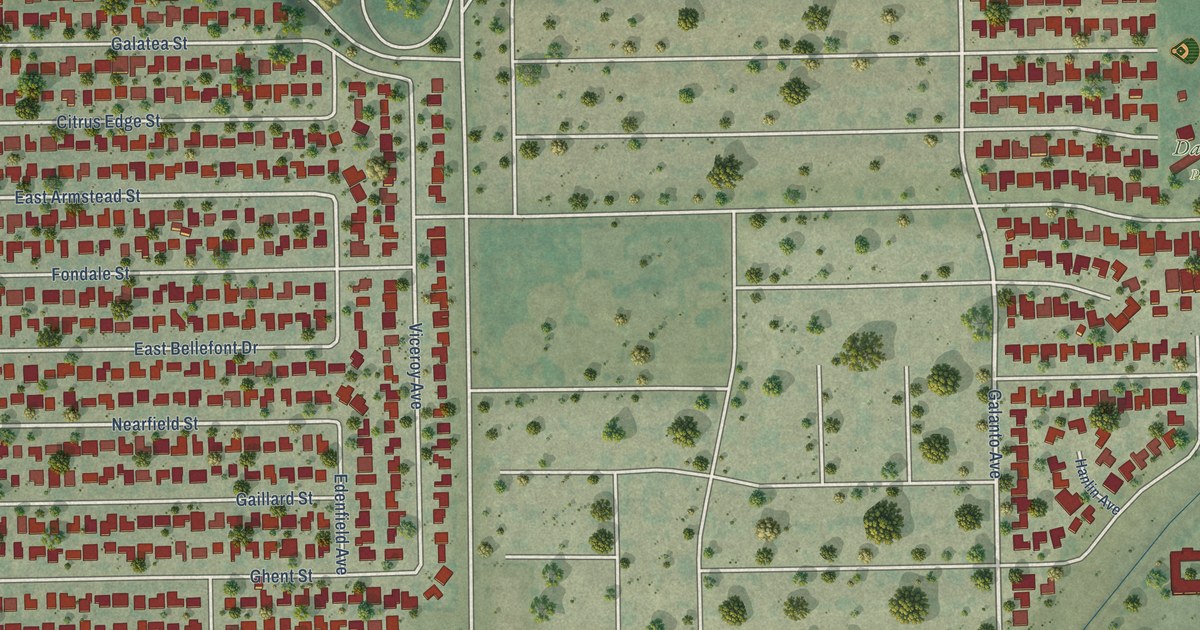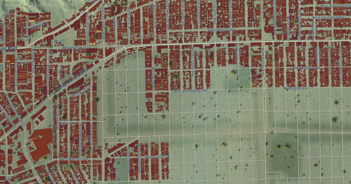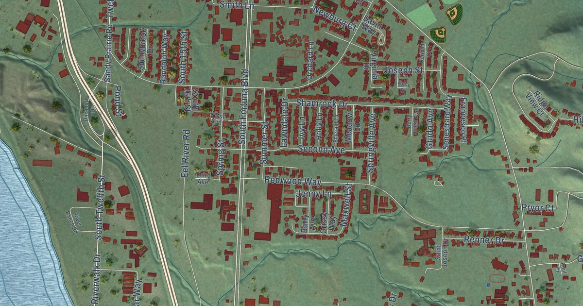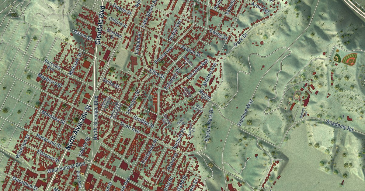
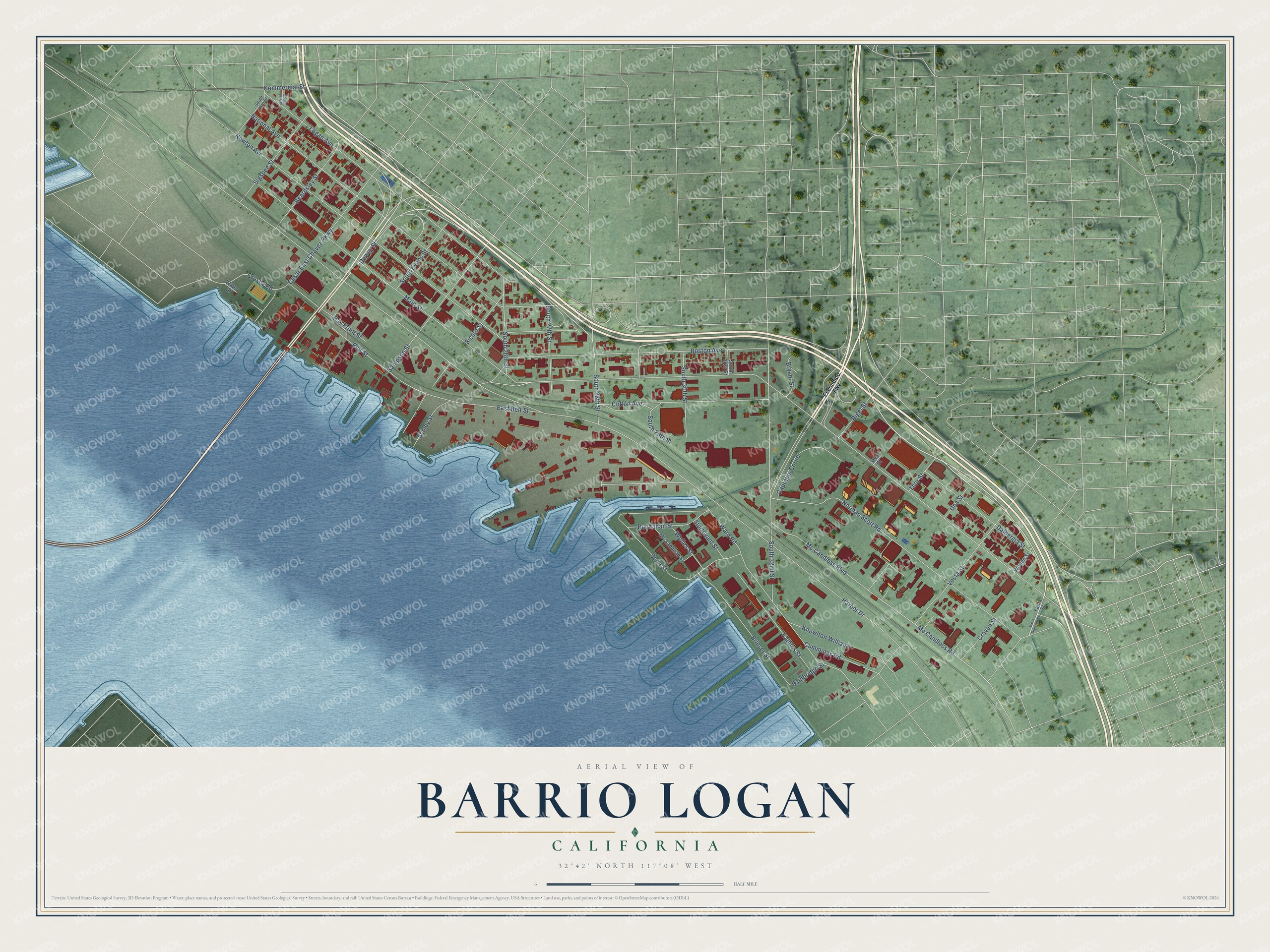
This beautifully detailed map of Barrio Logan, California was created in 2026 using aerial imagery combined with modern topographical, census, street and landmark data. It's a modern aerial view of Barrio Logan in San Diego County, California, that combines modern data with a vintage aesthetic. The roads feature printed names, and if you look closely you can find your exact house accurately shown in its correct location.
Explore an aerial view of Barrio Logan, California
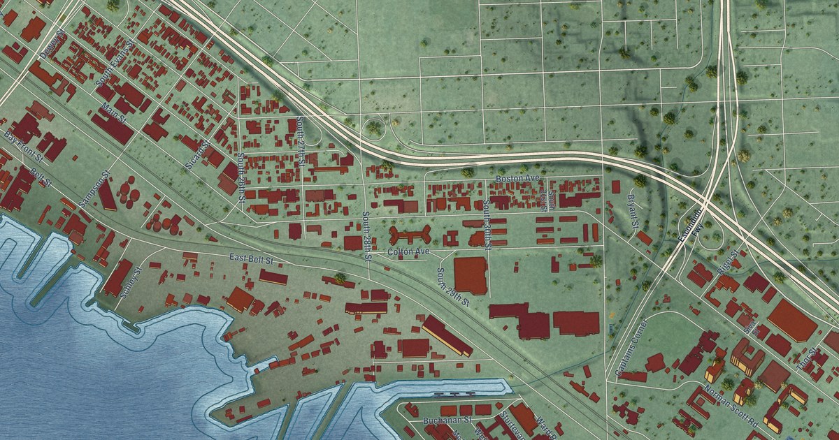
On this map you'll find Mc Candless Road, Main Street, Harbor Drive, Newton Avenue, Norman Scott Road, National Avenue, Logan Avenue, Boston Avenue, South 32nd Street, Ward Road, Vesta Street, Cesar East Chavez Parkway, and more. Each red shape is a building, so zoom in on the preview and look for yours.
Here is a piece of Barrio Logan history, in the words of the record. The City of San Diego puts it this way: "Chicano Park is home to the largest collection of Chicano murals in the world. The murals are recognized as seminal in the birth of the Chicano art movement in the United States and the collection is a point of pride among the residents of Barrio Logan as well as residents of San Diego."
Barrio Logan is a place in San Diego County.
Take a closer look at the Barrio Logan map
Names on this map
These names are printed on this map.
Streets and roads: Mc Candless Road, Main Street, Harbor Drive, Newton Avenue, Norman Scott Road, National Avenue, Logan Avenue, Boston Avenue, South 32nd Street, Ward Road, Vesta Street, Cesar East Chavez Parkway.
More street names, A to Z
Bainbridge Street, Bay Front Street, Beardsley Street, Belt Street, Brinser Street, Bryant Street, Buchanan Street, Captains Corner, Colton Avenue, Commercial Street, Craven Street, Crosby Road, Cummings Road, Dalbergia Street, Dewey Street, East Belt Street, Escondido Fwy, Kalbfus Street, Knowlton Williams, Mc Candless Boulevard, Mc Lanahan Street, Rigel Street, Sampson Street, Schley Street, Senn Street, Sicard Street, Sigsbee Street, Siva Street, South 16th Street, South 17th Street, South 26th Street, South 27th Street, South 28th Street, South 29th Street, South 30th Street, South 31st Street, South Evans Street, Sturtevant Street, Thor Street, Una Street, Water Street, Welles Street, West Division Street, Woden Street, Yama Street.
Created by KNOWOL in 2026. The buildings are small red shapes, the roads carry their printed names, and shaded relief shows the shape of the land. The title panel reads "AERIAL VIEW OF BARRIO LOGAN CALIFORNIA" with 32°42' NORTH 117°08' WEST.
It suits a den, a classroom or a front hall, and it makes a gift for anyone with Barrio Logan roots. Open the preview and find the block you know. See sizes and frames for the Barrio Logan map.