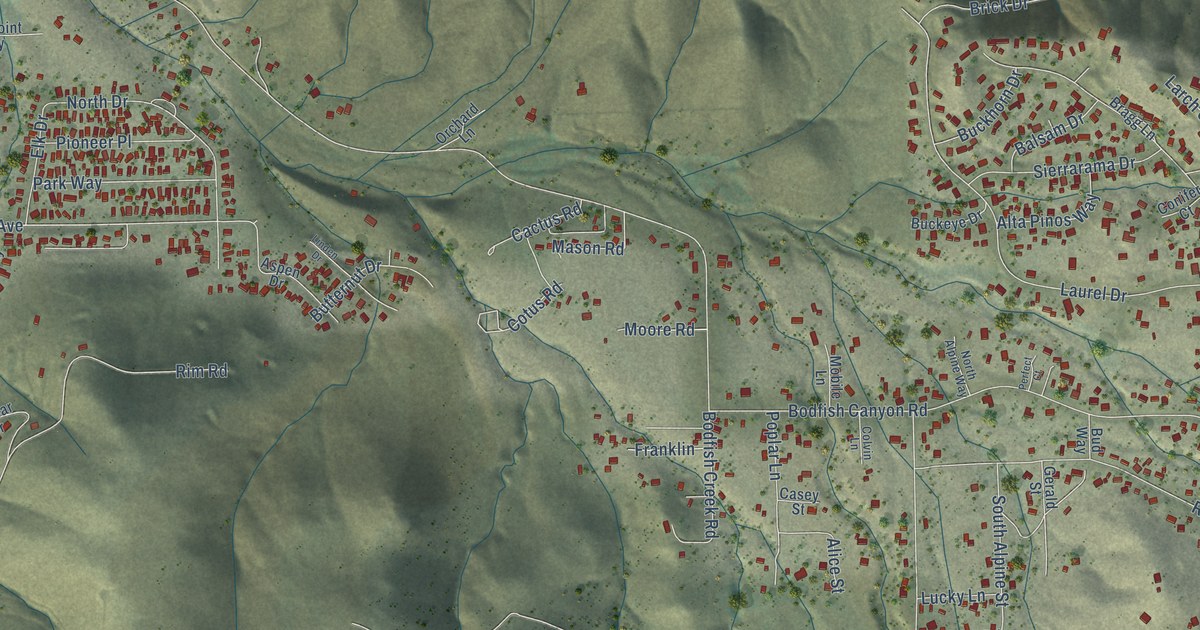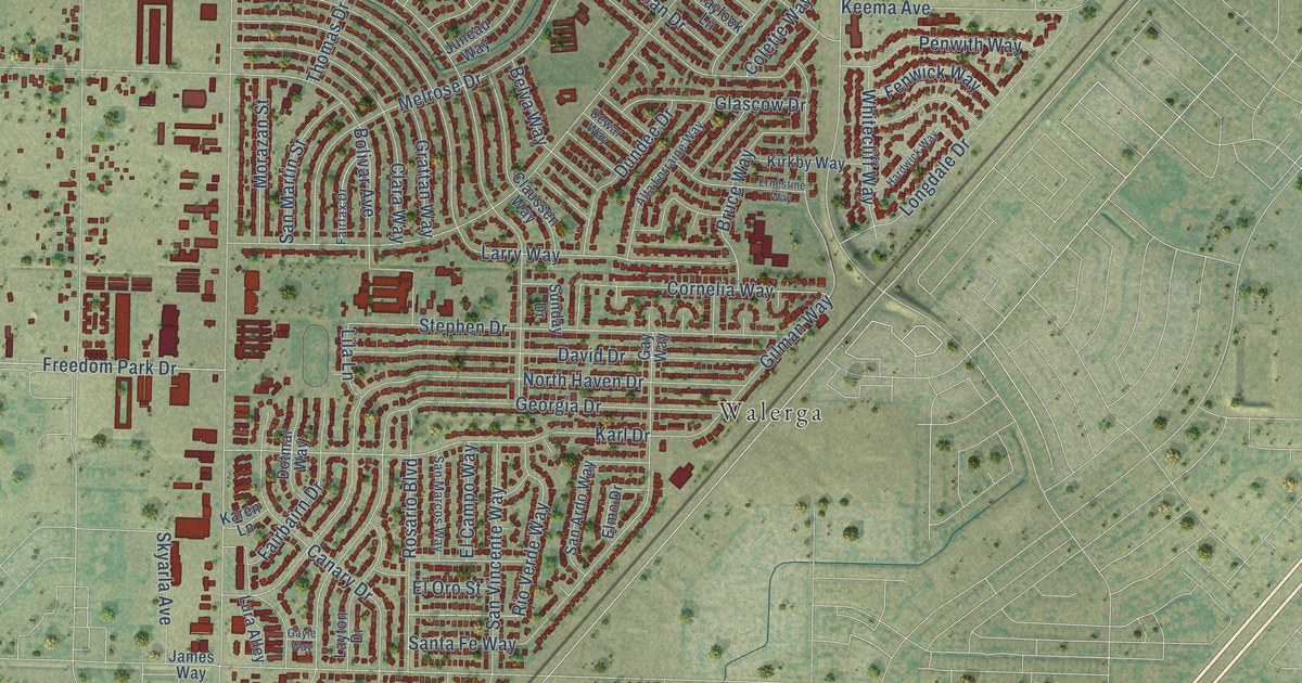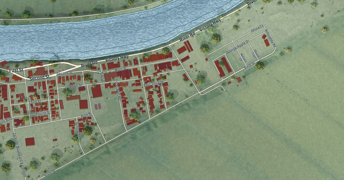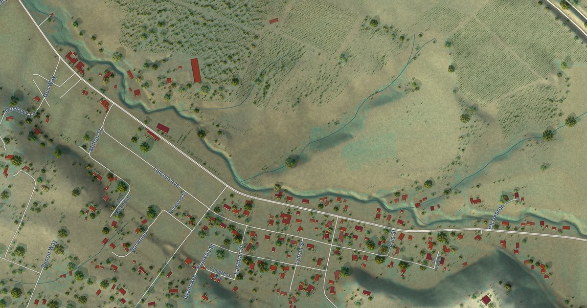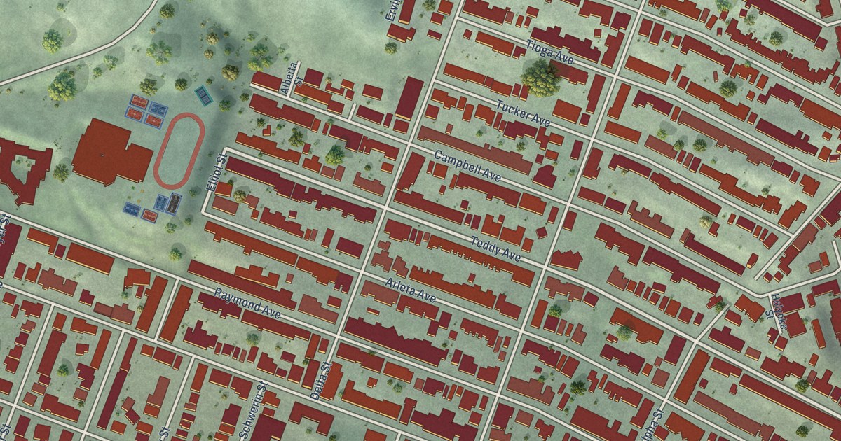
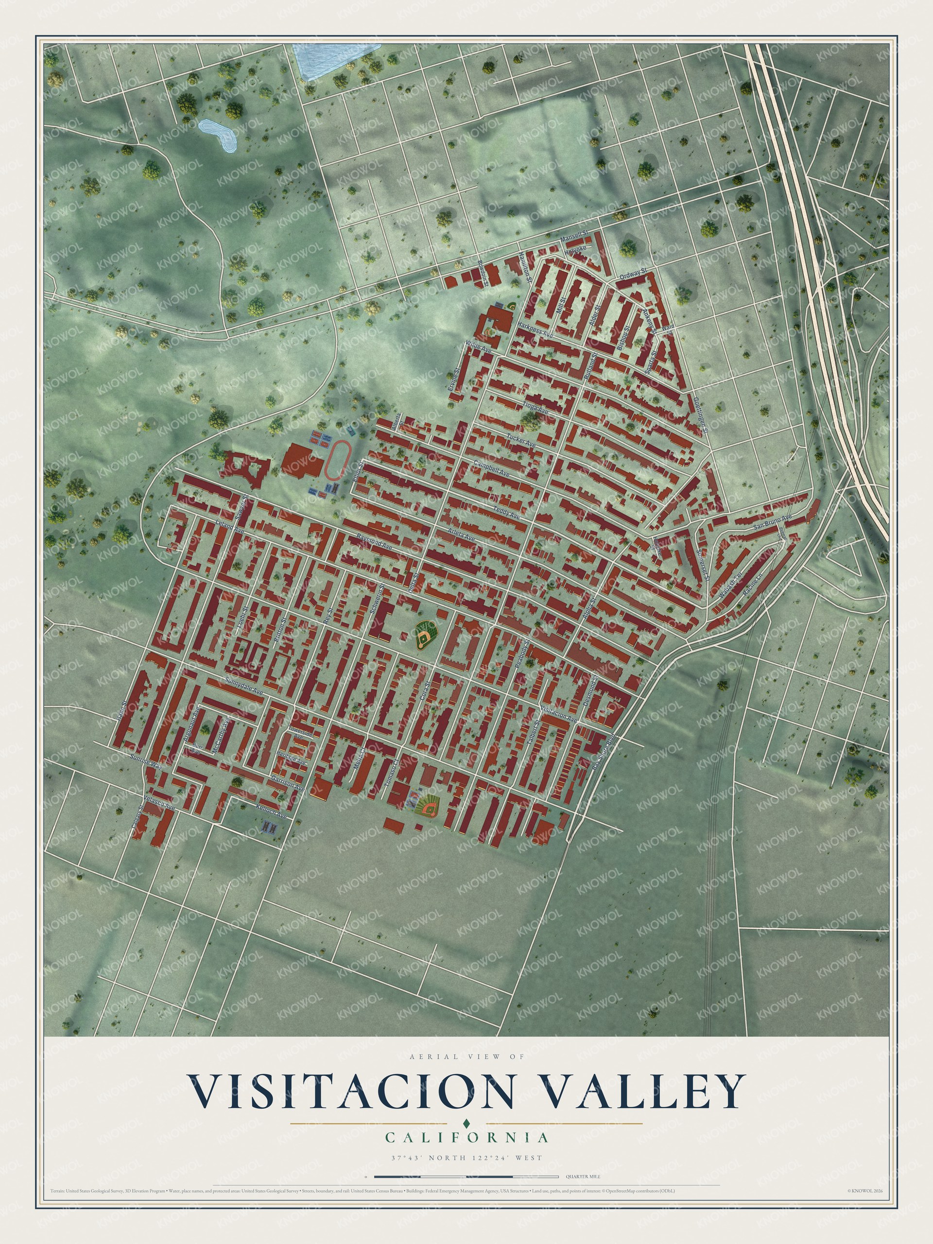
This beautifully detailed map of Visitacion Valley, California was created in 2026 using aerial imagery combined with modern topographical, census, street and landmark data. It’s a one-of-a-kind view of Visitacion Valley that combines accurate data with a vintage aesthetic. The map shows every building in its true location, many of the roads carry their names, and the shaded topographic relief shows the shape of the land.
Explore an aerial view of Visitacion Valley, California
On the map you’ll find Bay Shore Boulevard, Teddy Avenue, Velasco Avenue, Wabash Terrace, Elliot Street, Schwerin Street, Talbert Street, Ankeny Street, Raymond Avenue, Leland Avenue, Visitacion Avenue, Sunnydale Avenue, and more. If you look closely you can even find your house accurately drawn in its correct location. Zoom in on the preview to look for yours.
Did You Know?
From Internet Archive: "The new electric railroad from the Mission Road, near Onondago Avenue in San Francisco, to the San Bruno Road at the San Mateo county line in Visitacion Valley, will soon be completed."
Visitacion Valley is a place in San Francisco County.
Take a closer look at the Visitacion Valley map
Names on this map
These names are printed on this map.
Streets and roads: Bay Shore Boulevard, Teddy Avenue, Velasco Avenue, Wabash Terrace, Elliot Street, Schwerin Street, Talbert Street, Ankeny Street, Raymond Avenue, Leland Avenue, Visitacion Avenue, Sunnydale Avenue.
More street names, A to Z
Alberta Street, Alder Street, Alpha Street, Argonaut Avenue, Arleta Avenue, Beeman Lane, Bishop Street, Bowdoin Street, Britton Street, Burr Avenue, Calgary Street, Campbell Avenue, Cora Street, Delta Street, Desmond Street, Ervine Street, Garrison Avenue, Goettingen Street, Hahn Street, Hamilton Street, Harkness Avenue, Heritage Avenue, Holyoke, Holyoke Street, Kelloch Avenue, Loehr Street, Mansell Street, McCarthy Avenue, Melra Court, Mill Street, Ordway Street, Peabody Street, Racine Lane, Rey Street, Rutland Street, San Bruno Avenue, Sawyer Street, Somerset Street, Sparta Street, Sunrise Way, Tioga Avenue, Tomaso Court, Towerside Avenue, Tucker Avenue, Ward Street, Wilde Avenue.
See it on a wall
The Visitacion Valley map as a framed print. Swipe for more.


This beautifully detailed map of Visitacion Valley makes an attractive addition to your office, library, or den, and it can even be used to teach children the geography and history of the area. It also makes a great gift for anyone with Visitacion Valley roots. When you’re done exploring, click here to get your copy of the Visitacion Valley map.