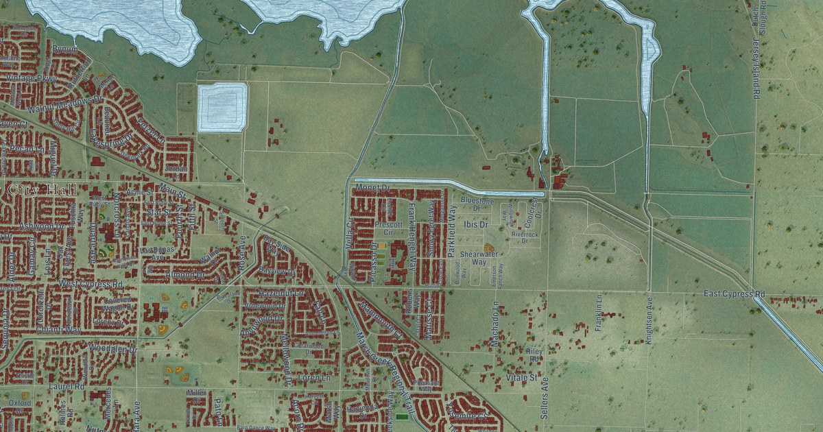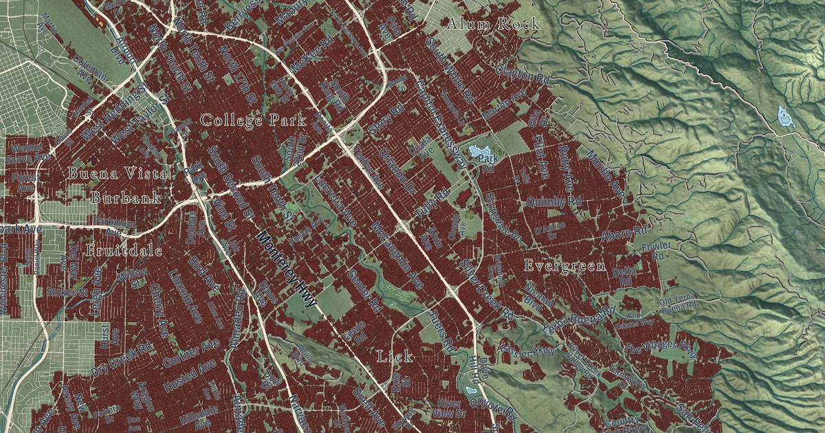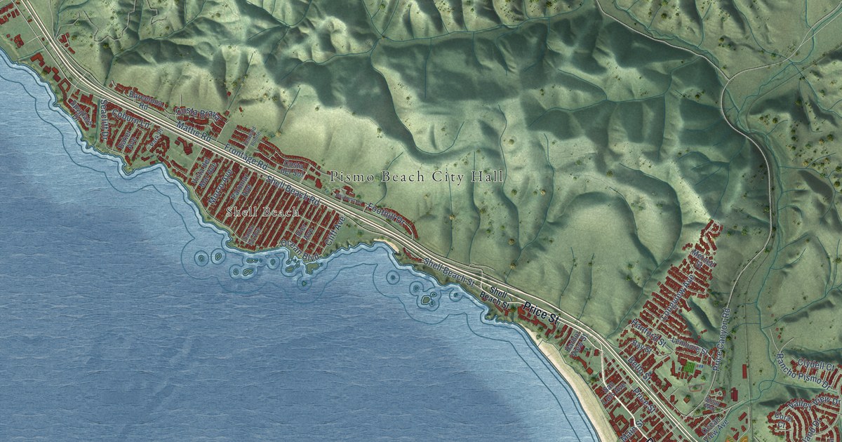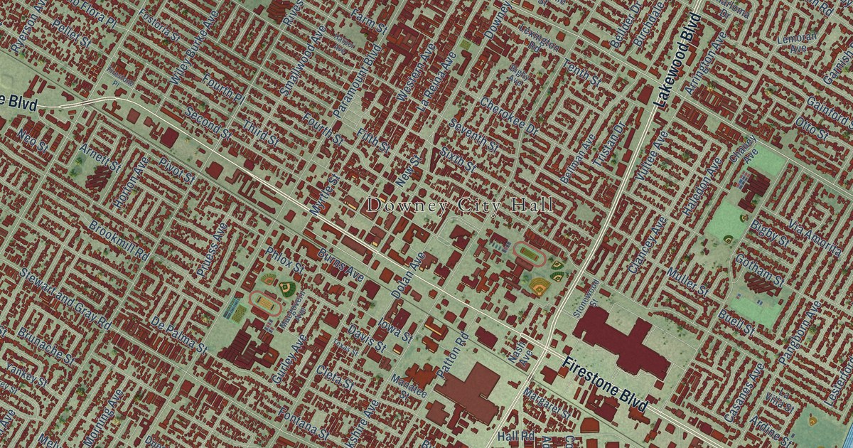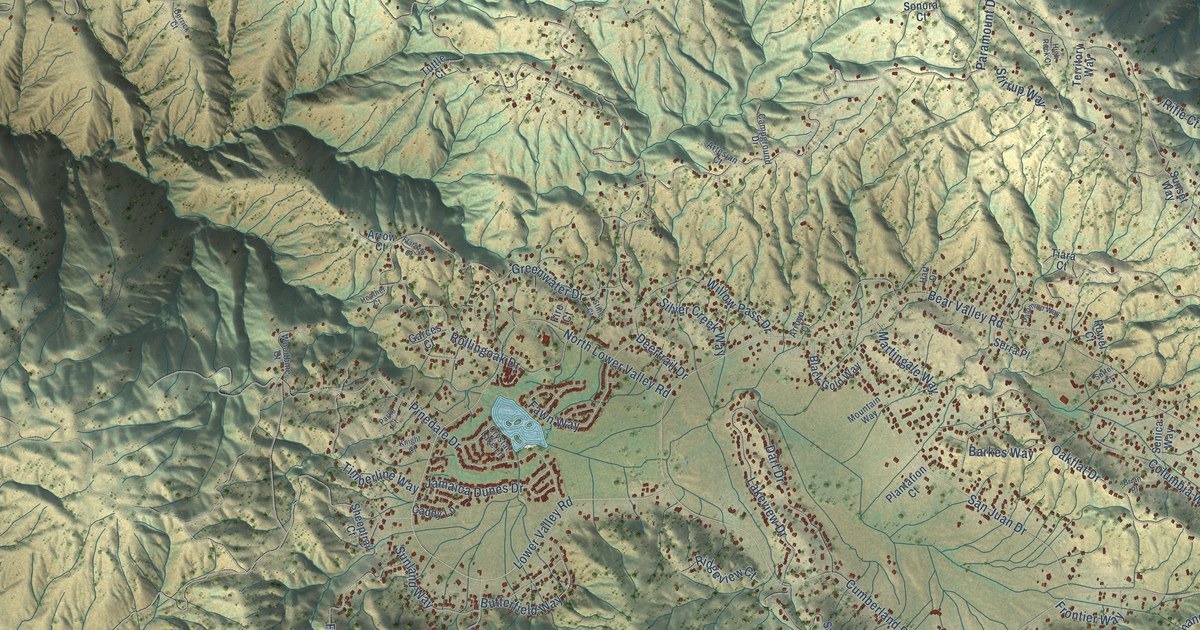
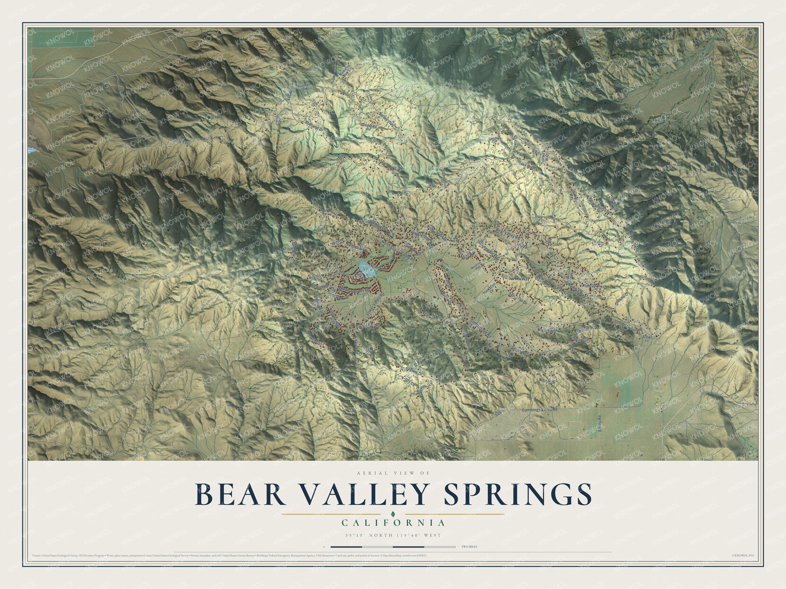
This beautifully detailed map of Bear Valley Springs, California was created in 2026 using aerial imagery combined with modern topographical, census, street and landmark data. It's a modern aerial view of Bear Valley Springs in Kern County, California, that combines modern data with a vintage aesthetic. The roads feature printed names, and if you look closely you can find your exact house accurately shown in its correct location.
Explore an aerial view of Bear Valley Springs, California
On this map you'll find Deer Trail, Lower Valley Road, Sasia, Trotter Drive, Cumberland Road, Skyline, Deertrail Drive, Skyline Drive, Bear Valley Road, Jacaranda Drive, Paramount Drive, Pinedale Drive, and more. Each red shape is a building, so zoom in on the preview and look for yours.
Bear Valley Springs is a community in Kern County. The Census Bureau counted 5,592 people here in 2020. The map prints the town name in its title panel, with the coordinates below it.
Take a closer look at the Bear Valley Springs map
Names on this map
These names are printed on this map.
Streets and roads: Deer Trail, Lower Valley Road, Sasia, Trotter Drive, Cumberland Road, Skyline, Deertrail Drive, Skyline Drive, Bear Valley Road, Jacaranda Drive, Paramount Drive, Pinedale Drive.
More street names, A to Z
Arrow Court, Arroyo Court, Artesian Court, Bailey Road, Barkes Way, Big Sky Court, Black Gold Way, Brian Place, Brown Lane, Buckthorne Court, Butterfield Way, Bvs Frontage, Caddy Lane, Campground Drive, Cedar Creek Court, Chester Court, Chukar Court, Cody Court, Columbia Way, Crystal Lake Lane, Cummings Valley Road, Dart Drive, Derrick Court, Diamond Court, Domino Court, El Camino Drive, El Rancho Drive, Fargo Way, Fawn Way, Fire Court, Flatiron Court, Fox Ridge Court, Frontier Way, Garces Court, Goldspike Road, Greenwater Drive, Hart Drive, Heather Court, High Rock Court, Hillside Court, Horizon Court, Ironwood Court, Jamaica Dunes Drive, Knight Court, Lakeview Drive, Martingale Way, Medicine Bow Court, Mountain Oak, Mountain Way, North Lower Valley Road, Oakflat Drive, Owl Court, Palomino Way, Parke Court, Pheasant Court, Plantation Court, Plateau Place, Prairie Court, Ridgeview Court, Rifle Court, Rollingoak Drive, Rowel Court, Saddleback Drive, San Juan Drive, Senica Way, Serra Place, Sheeptrail Court, Shenandoah Place, Silver Creek Way, Sonora Court, Starland Drive, Stine Court, Stirrup Way, Sunland Way, Sunset Way, Surrey Way, Sutter Court, Teal Court, Territory Way, Tiara Court, Timberline Way, Tuttle Court, Willow Pass Drive, Woodbine Court.
Created by KNOWOL in 2026. The buildings are small red shapes, the roads carry their printed names, and shaded relief shows the shape of the land. The title panel reads "AERIAL VIEW OF BEAR VALLEY SPRINGS CALIFORNIA" with 35°10' NORTH 118°40' WEST.
It looks right in a kitchen, an office or a den, and it's a gift for anyone who grew up in Bear Valley Springs or moved away. Open the preview and find your street. See sizes and frames for the Bear Valley Springs map.