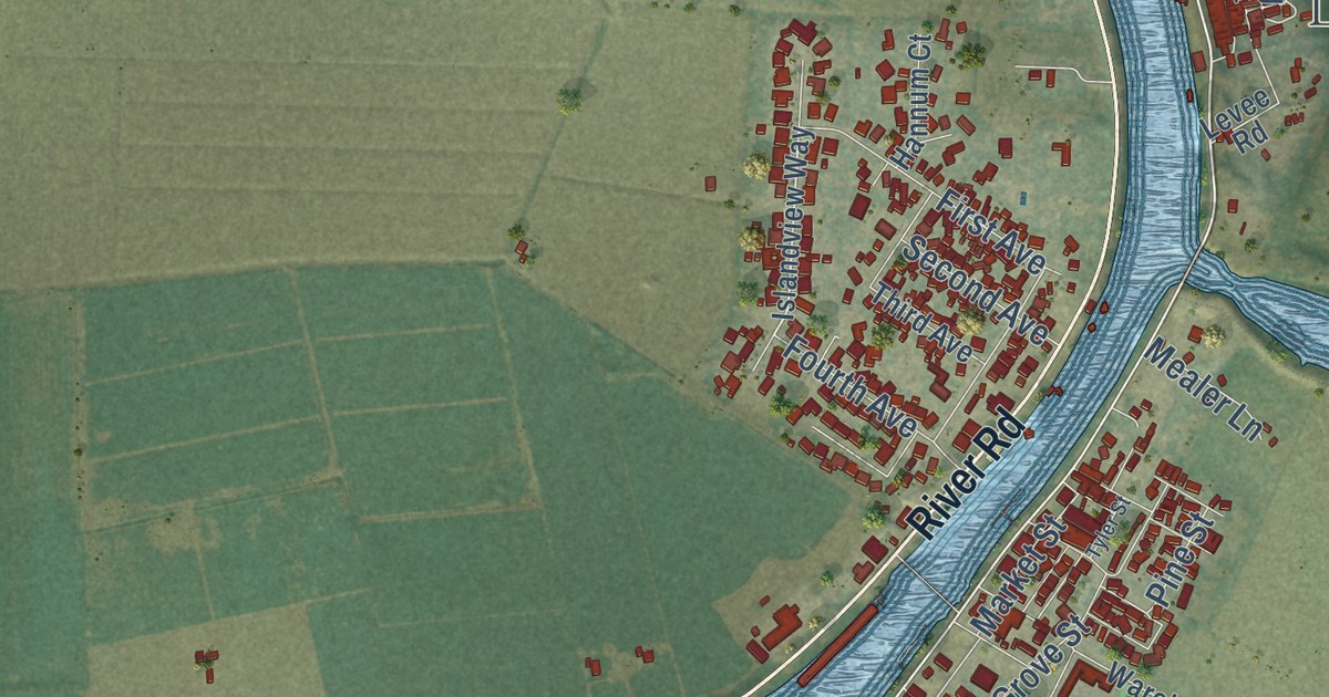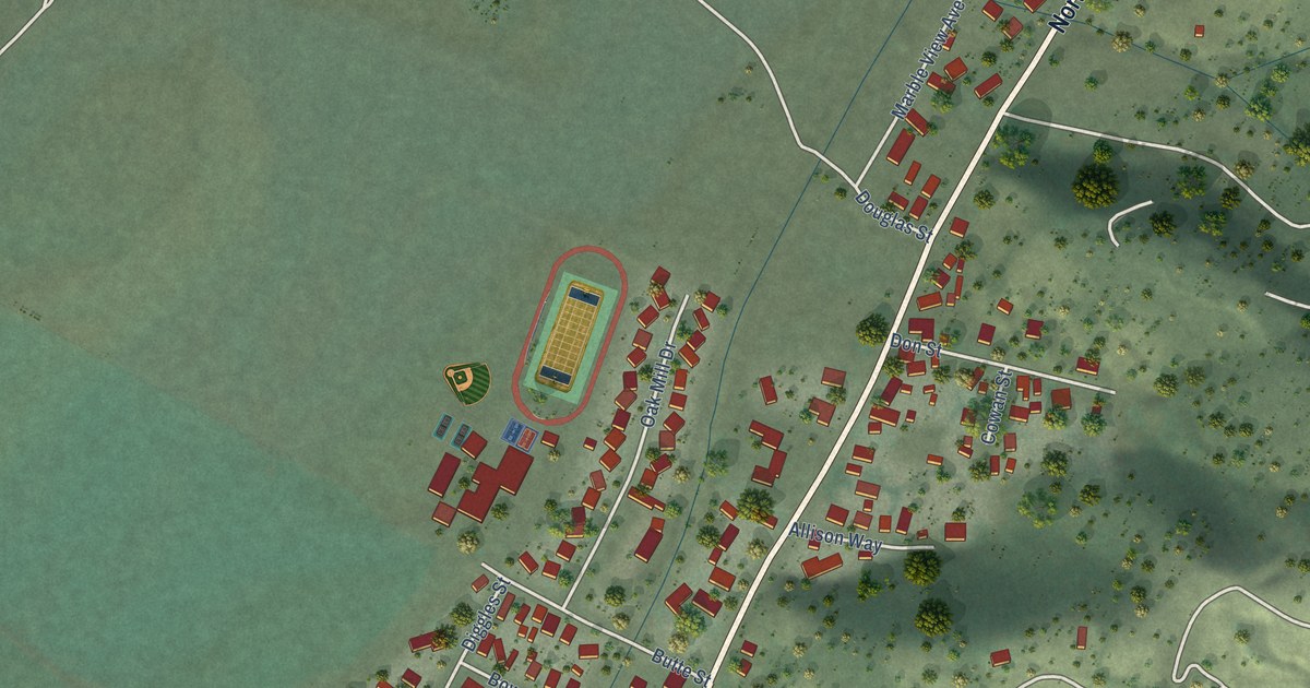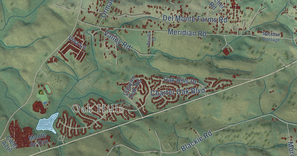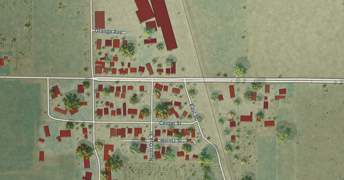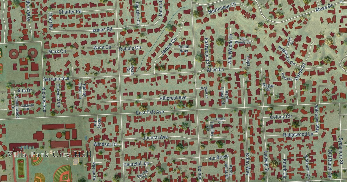
This beautifully detailed map of Villa Park, California was created in 2026 using aerial imagery combined with modern topographical, census, street and landmark data. It’s a one-of-a-kind view of Villa Park that combines accurate data with a vintage aesthetic. The map shows every building in its true location, many of the roads carry their names, and the shaded topographic relief shows the shape of the land.
Explore an aerial view of Villa Park, California
On the map you’ll find Villa Park City Hall and Cerro Villa Heights, along with Canyon Drive, James Road, East Collins Avenue, Mesa Drive, El Rito Drive, Santiago Boulevard, East Taft Avenue, Center Drive, Cerro Villa Drive, East Cerro Villa Drive, and more. If you look closely you can even find your house accurately drawn in its correct location. Zoom in on the preview to look for yours.
Did you know this piece of Villa Park, California history?
From the National Register of Historic Places: "The first Villa Park School conducted classes in a small shed which no longer stands on this property in 1880."
Take a closer look at the Villa Park map
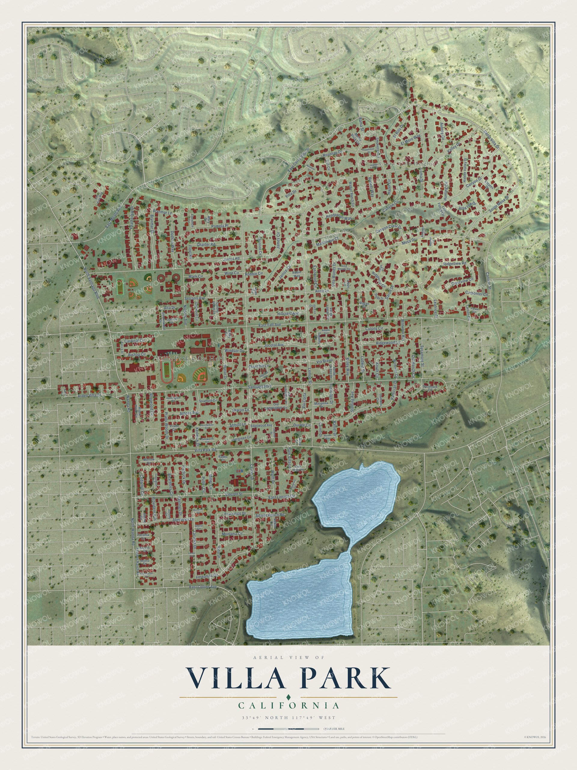
Street and place names on the Villa Park, California map
These names are printed on the map of Villa Park, California.
Places: Villa Park City Hall and Cerro Villa Heights.
Streets and roads: Canyon Drive, James Road, East Collins Avenue, Mesa Drive, El Rito Drive, Santiago Boulevard, East Taft Avenue, Center Drive, Cerro Villa Drive, East Cerro Villa Drive, Valley Drive, South Mesa Drive.
More street names, A to Z
Abbott Lane, Aberdeen Lane, Adams Circle, Adams Ranch Road, Albany Circle, Alice Lane, Alma Lane, Alta Drive, Amate Circle, Arden Villa Drive, Athens Avenue, Aubrey Circle, Balliet Drive, Beardsley Circle, Beckley Circle, Bishop Circle, Bixby Circle, Brewer Way, Briley Way, Brynmar Drive, Brynmar Lane, Camden Circle, Cannon Street, Canyon Circle, Canyon Crest Drive, Cardinal Circle, Carmel Drive, Carpenter Circle, Cedarhill Circle, Charter Road, Christine Circle, Churchill Lane, Colony Circle, Colony Grove Lane, Covington Circle, Crestview Circle, Daron Drive, Derek Drive, Dodson Way, Dorchester Circle, Dorothy Circle, Durfee Circle, East Lincoln Circle, East Meats Avenue, Eastwood Circle, Edgewood Avenue, El Moro Way, Estates Drive, Evergreen Circle, Featherhill Drive, Fernando Circle, Fitschen Ranch Road, Fleet Road, Flintridge Drive, Florence Circle, Francisco Drive, Fredrick Drive, Gloria Circle, Hallsworth Circle, Hastings Drive, Hazel Circle, Helena Circle, Henderson Way, Hidden Valley Drive, Hillcrest Avenue, Hunting Circle, Huntington Circle, James Circle, Janice Circle, Jerome Street, Jocotal Avenue, Joshua Tree Circle, Katawpa Circle, Kenwick Drive, Knuth Circle, Laconia Drive, Larson Circle, Las Flores Circle, Leatrice Drive, Leigh Circle, Lemon Street, Lincoln Street, Lipps Lane, Locust Avenue, Loma Street, Ludwig Street, Marion Way, Mariposa Drive, Mark Circle, Martinique Court, Mary Circle, Miller Circle, Montana Circle, Monte Vista Circle, Morrow Circle, Nathan Circle, Nichols Avenue, North Santiago Boulevard, North Wanda Road, Oakfield Drive, Oakwood Circle, Old Lamplighter Circle, Old Lamplighter Lane, Old Ranch Circle, Orangegrove Circle, Orchard Lane, Pamela Place, Parker Circle, Park Villa Lane, Park Villa Place, Patrician Drive, Patrick Drive, Peppertree Drive, Phelan Drive, Portsmouth Circle, Potter Circle, Prado Circle, Prado Woods Drive, Providence Drive, Radec Court, Ragan Circle, Rama Street, Ridgeview Circle, Ridgeview Road, Ridgewood Lane, Robbie Circle, Robin Hood Circle, Robin Way, Rosanne Circle, Rosenau Circle, Rosenau Drive, Ryan Circle, Serrano Avenue, Sharon Lane, Sherwood Circle, Smoketree Lane, Smokewood Drive, Squires Circle, Sterling Avenue, Stratford Circle, Sunkist Circle, Sycamore Circle, Sycamore Street, Tacoma Circle, Timothy Lane, Tritt Circle, Verde Lomas Circle, Verde Lomas Drive, Via Bravo, Via Corta, Vida Drive, Villa Drive, Villa Isle Drive, Villa Park Road, Villa Vista Way, Villa Woods Circle, Villa Woods Drive, Walker Ranch Circle, Wanda Road, Wildwood Way, Windsor Drive, Winn Circle, Workman Circle, Wulff Drive.
See the Villa Park, California map on a wall
The Villa Park map as an 18 x 24 inch print in a black frame.

This beautifully detailed map of Villa Park makes an attractive addition to your office, library, or den, and it can even be used to teach children the geography and history of the area. It also makes a great gift for anyone with Villa Park roots. When you’re done exploring, click here to get your copy of the Villa Park map.