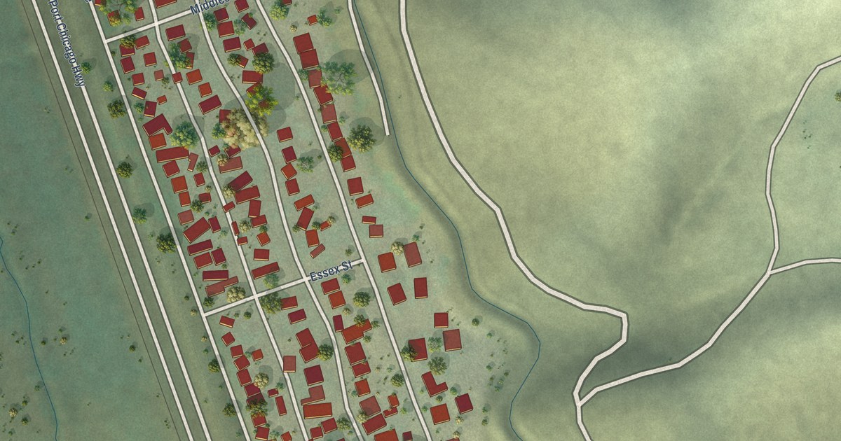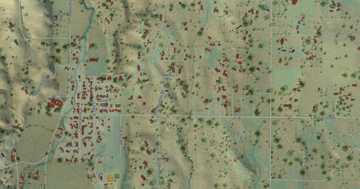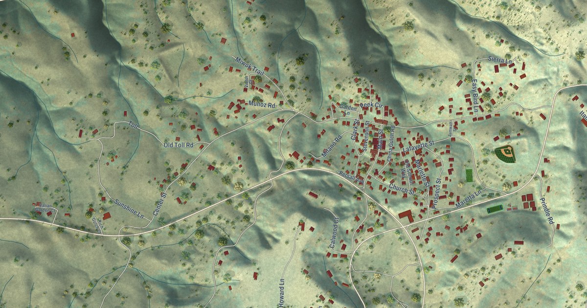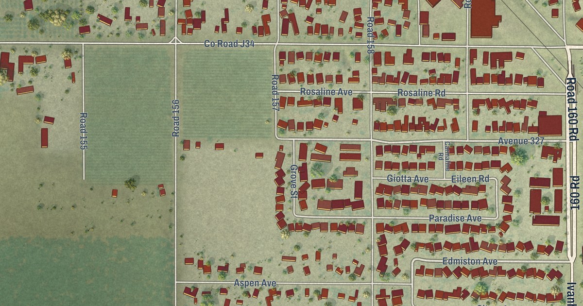
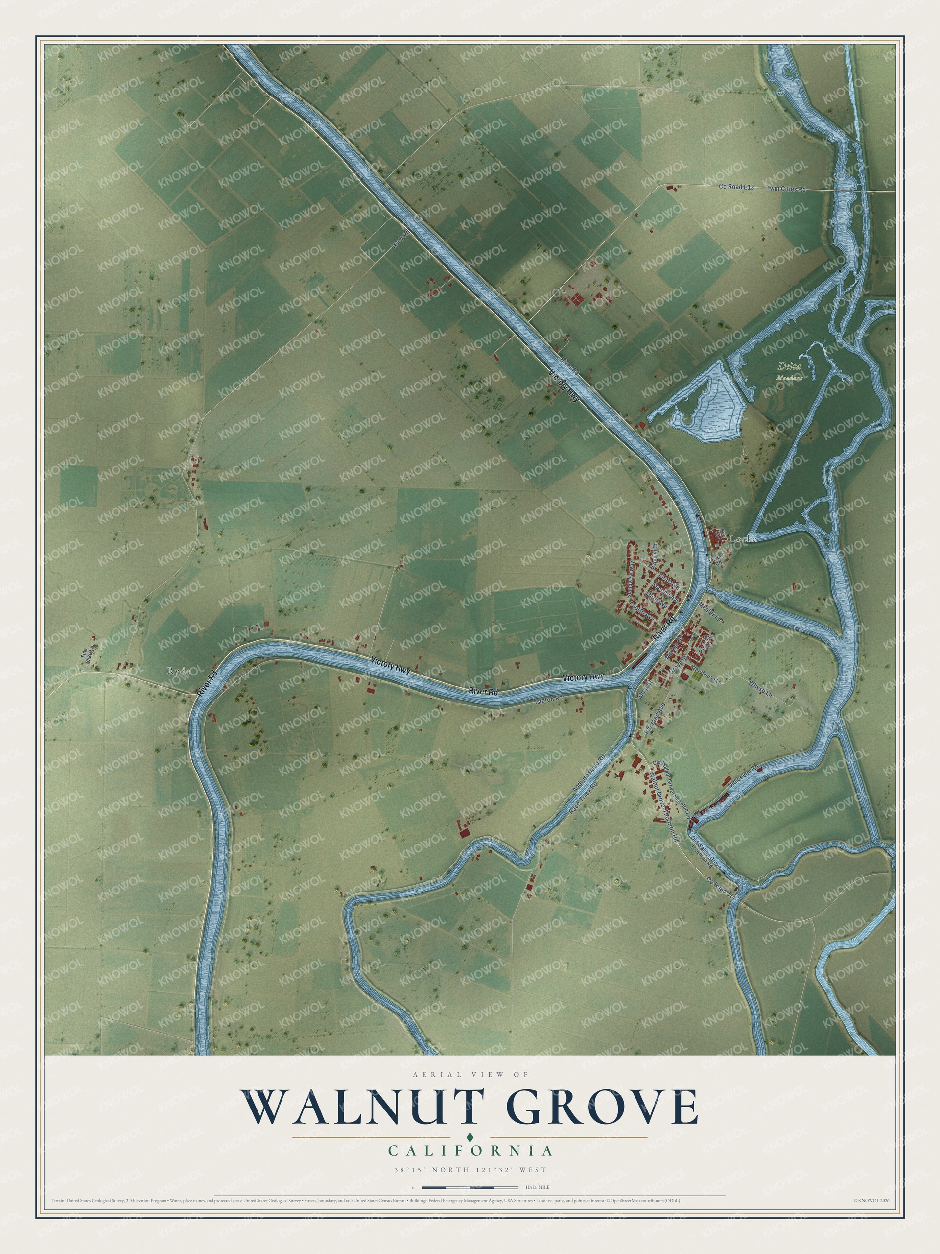
This beautifully detailed map of Walnut Grove, California was created in 2026 using aerial imagery combined with modern topographical, census, street and landmark data. It's a modern aerial view of Walnut Grove in Sacramento County, California, that combines modern data with a vintage aesthetic. The roads feature printed names, and if you look closely you can find your exact house accurately shown in its correct location.
Explore an aerial view of Walnut Grove, California
On this map you'll find Ryde, Locke, Delta Meadows, River Road, Victory Highway, Walnut Grove-Thornton Road, Co Road E13, Co Road J11, Railroad Avenue, Isleton Road, Andrus Island Road, Leary Road, and more. Each red shape is a building, so zoom in on the preview and look for yours.
Walnut Grove has a story worth telling. Walnut Grove began as a steamer stop that John W. Sharp set up in 1851 on the Sacramento River beside Georgiana Slough. In 1915 a fire leveled 80 buildings in its Chinatown, and the town split three ways: Japanese residents built their own Japantown a block north, Chungshan merchants moved a mile north and built Locke, and the Sze Yup people rebuilt on the same site. In 1937 a second fire destroyed over 80 buildings again and left over 500 people homeless. The district rebuilt from 1937 to 1940 was the last Chinatown built in the Delta. That's from the National Register of Historic Places.
Walnut Grove is a community in Sacramento County. The Census Bureau counted 1,452 people here in 2020.
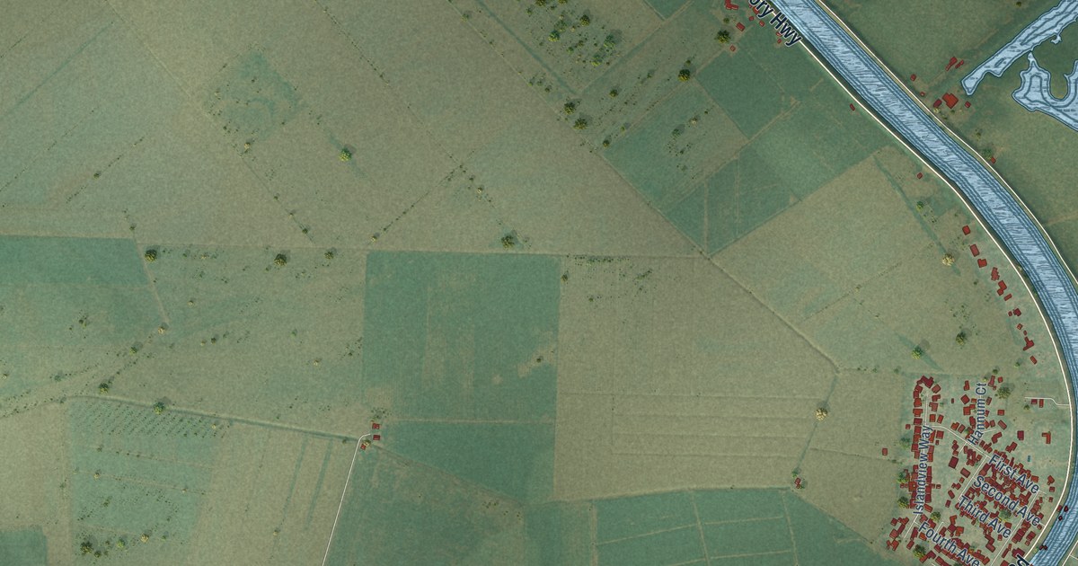
Take a closer look at the Walnut Grove map
Names on this map
These names are printed on this map.
Places: Ryde, Locke and Delta Meadows.
Streets and roads: River Road, Victory Highway, Walnut Grove-Thornton Road, County Road E13, County Road J11, Railroad Avenue, Isleton Road, Andrus Island Road, Leary Road, Twin Cities Road, Race Track Road, Old Levee Road.
More street names, A to Z
First Avenue, Fourth Avenue, Grove Street, Hannum Court, Islandview Way, Key Street, Levee Road, Market Street, Mealer Lane, Old Walnut Grove-Thornton Road, Old Walnut Grove Thornton Road, Pine Street, Second Avenue, Shop Street, Third Avenue, Tina Lake Lane, Tyler Street, Warehouse Lane, Whyse Lane.
See it on a wall
The Walnut Grove map as a framed print. Swipe for more.


Created by KNOWOL in 2026. The buildings are small red shapes, the roads carry their printed names, and shaded relief shows the shape of the land. The title panel reads "AERIAL VIEW OF WALNUT GROVE, CALIFORNIA" with 38°15' NORTH 121°32' WEST.
It looks right in a kitchen, an office or a den, and it's a gift for anyone who grew up in Walnut Grove or moved away. Open the preview and find your street. See sizes and frames for the Walnut Grove map.