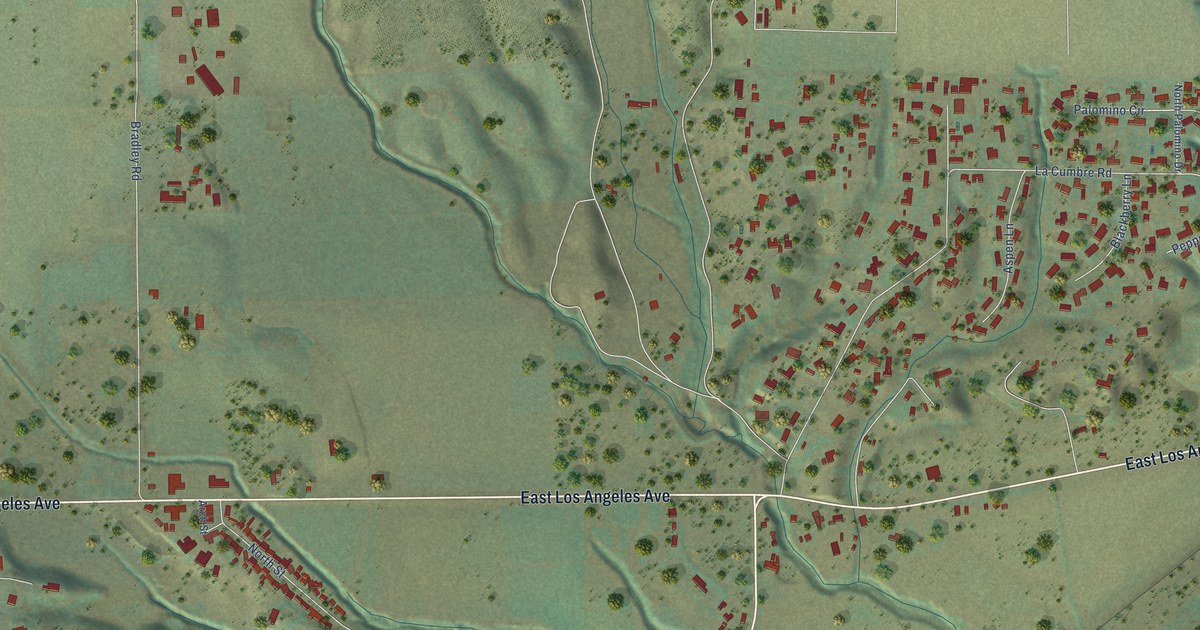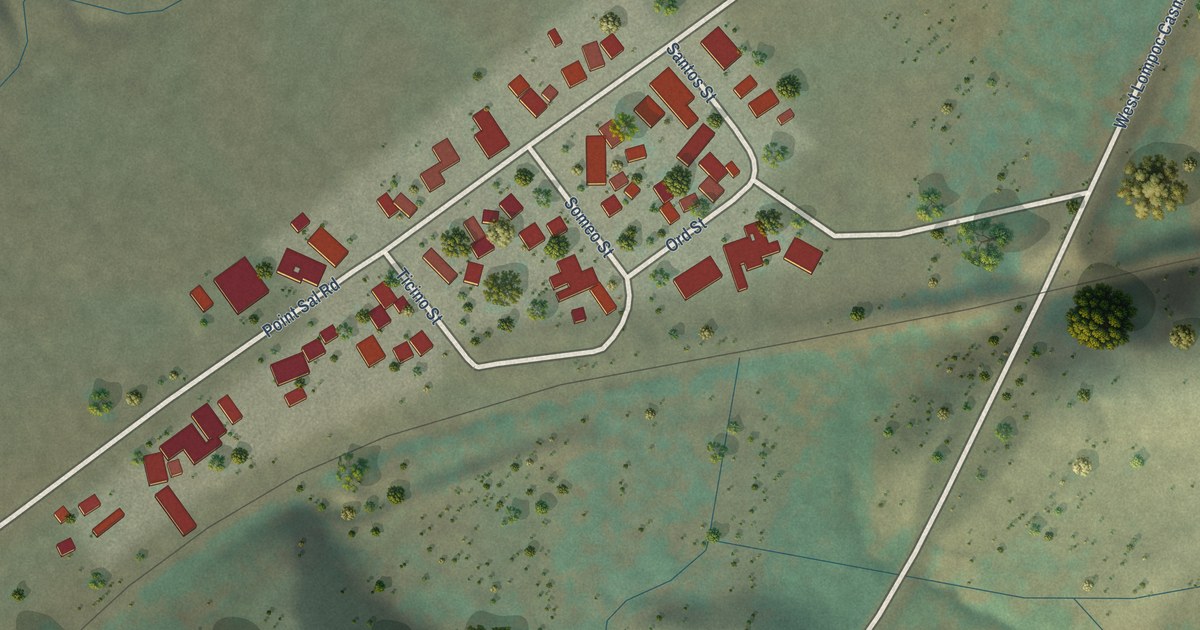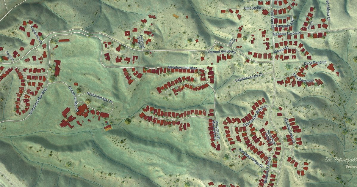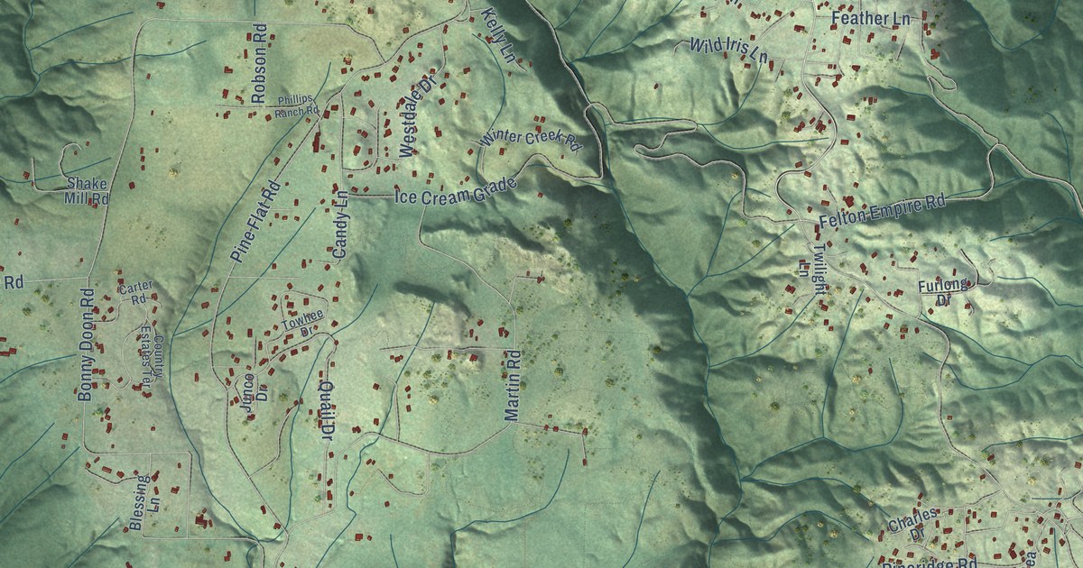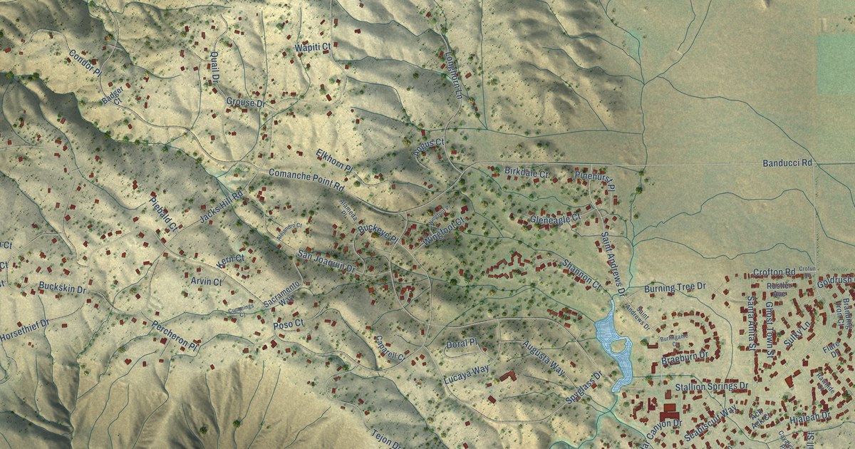
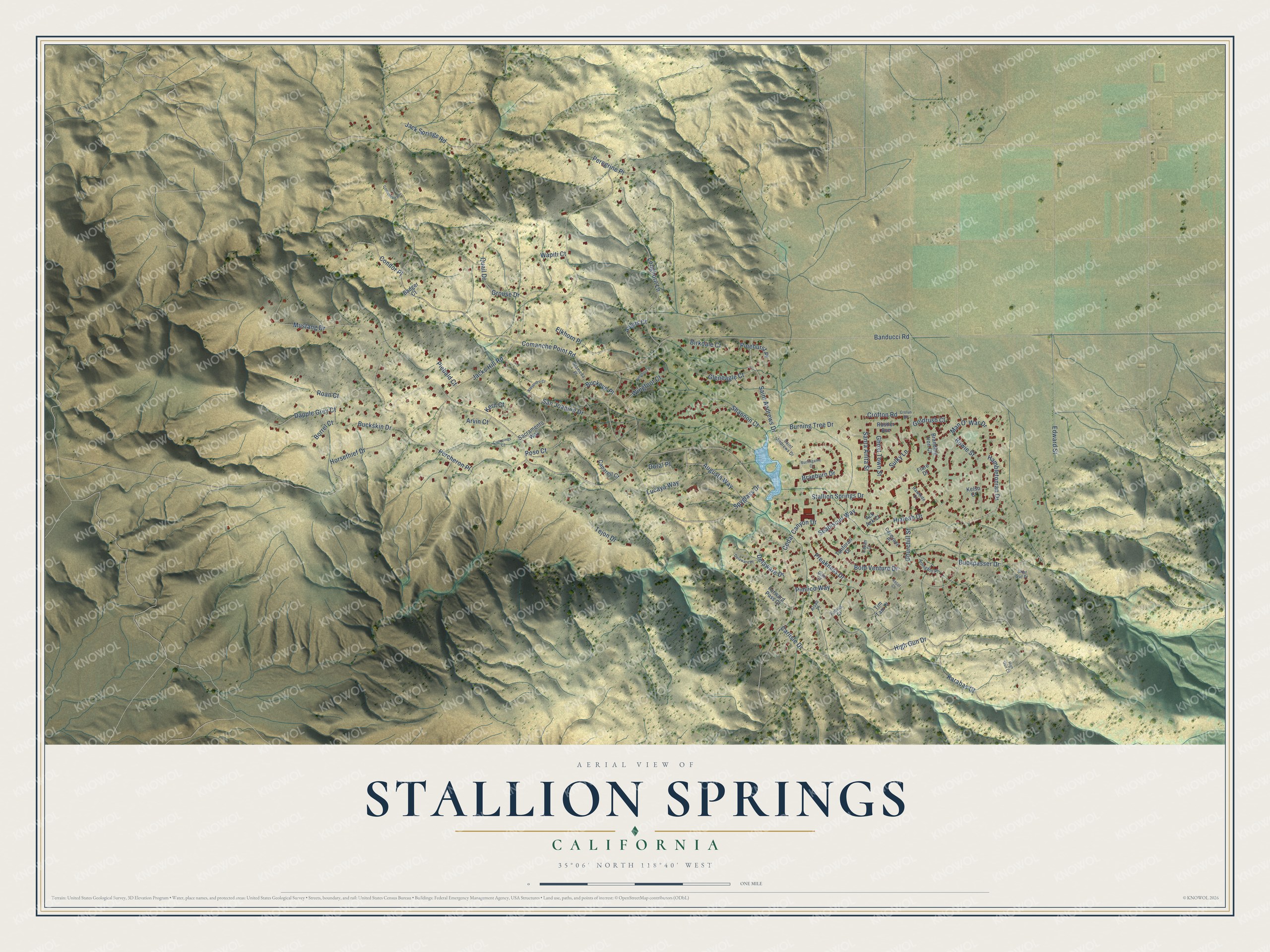
This beautifully detailed map of Stallion Springs, California was created in 2026 using aerial imagery combined with modern topographical, census, street and landmark data. It's a modern aerial view of Stallion Springs in Kern County, California, that combines modern data with a vintage aesthetic. The roads feature printed names, and if you look closely you can find your exact house accurately shown in its correct location.
Explore an aerial view of Stallion Springs, California
On this map you'll find Comanche Point Road, Stallion Springs Drive, Horsethief Drive, Jacks Hill Road, Banducci Road, Bold Venture Drive, High Gun Drive, Mustang Drive, Preakness Drive, Hialeah Drive, Saint Andrews Drive, Spyglass Drive, and more. Each red shape is a building, so zoom in on the preview and look for yours.
Stallion Springs has a story worth telling. Stallion Springs was built on part of a ranch of about 26,000 acres that California Devco bought in 1969 from Rex Ellsworth, a noted California sportsman whose nationally known racing stable was once headed by Swaps. Development of Stallion Springs started in 1971. The community lies partly in the Tehachapi Mountains and partly in Cummings Valley, at elevations from 3,600 to 4,600 feet. That's from the Long Beach Independent Press-Telegram.
Stallion Springs is a community in Kern County. The Census Bureau counted 3,139 people here in 2020.
Take a closer look at the Stallion Springs map
Names on this map
These names are printed on this map.
Streets and roads: Comanche Point Road, Stallion Springs Drive, Horsethief Drive, Jacks Hill Road, Banducci Road, Bold Venture Drive, High Gun Drive, Mustang Drive, Preakness Drive, Hialeah Drive, Saint Andrews Drive, Spyglass Drive.
More street names, A to Z
Ack Ack Court, Alameda Place, Alejandro Court, Alsab Place, Angus Court, Arlington Place, Arvin Court, Ascot Court, Augusta Way, Badger Court, Birkdale Court, Borrel Court, Bowie Street, Braeburn Drive, Branding Iron Court, Buckeye Place, Buckpasser Drive, Buckskin Drive, Burlingame Court, Burning Tree Drive, Caparell Court, Carlisle Drive, Cavalcade Place, Cavan Court, Cedar Canyon Drive, Churchill Street, Comanche Place, Condor Place, Crofton Road, Crofun Road, Cummings Court, Dapple Grey Court, Delaware Drive, Delaware Place, Dike Court, Doral Place, Edward Street, Elkhorn Place, Fabius Court, Flare Drive, Forward Pass Court, Ghost Town Street, Gleneagle Court, Goldrush Court, Grouse Drive, Hambletonian Drive, High Gun Court, Jack Springs Road, Karabas Court, Kelso Court, Kern Court, Longhorn Lane, Lucaya Way, Man O' War Drive, Percheron Place, Peregrine Place, Piebald Court, Pimlico Way, Pinehurst Place, Poso Court, Quail Drive, Rawhide Court, Roan Court, Rustler Avenue, Sacramento Way, San Joaquin Drive, Santa Anita Street, Seabiscuit Way, Shannon Court, Shut Out Place, Sulky Lane, Tanforan Drive, Tejon Drive, Tim Tam Place, Wapiti Court, Wingfoot Court, Wingfoot Place.
See it on a wall
The Stallion Springs map as a framed print. Swipe for more.


Created by KNOWOL in 2026. The buildings are small red shapes, the roads carry their printed names, and shaded relief shows the shape of the land. The title panel reads "AERIAL VIEW OF STALLION SPRINGS, CALIFORNIA" with 35°06' NORTH 118°40' WEST.
It looks right in a kitchen, an office or a den, and it's a gift for anyone who grew up in Stallion Springs or moved away. Open the preview and find your street. See sizes and frames for the Stallion Springs map.