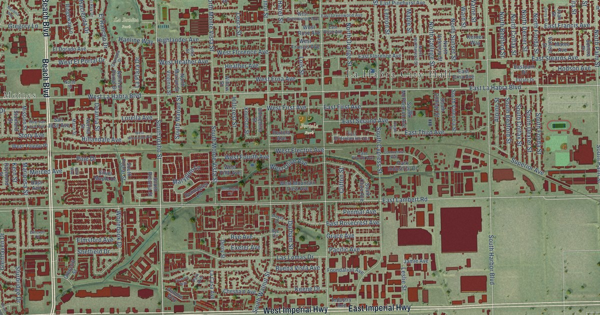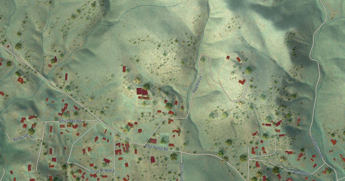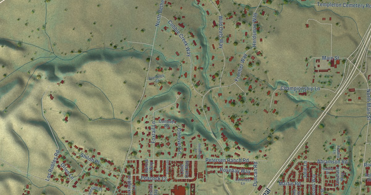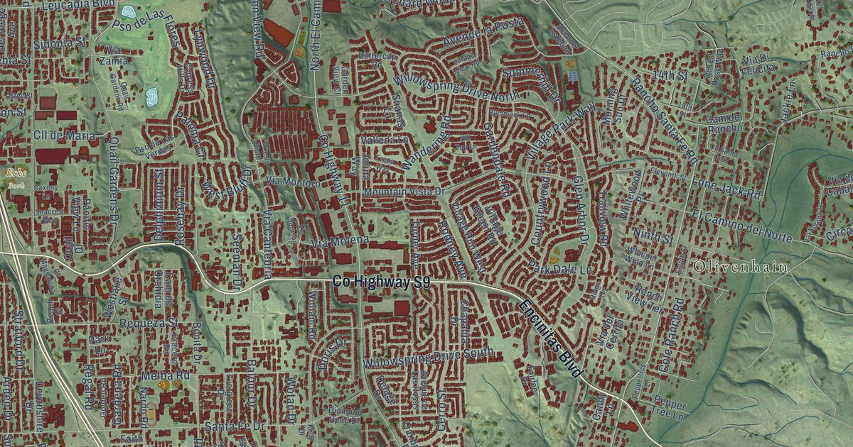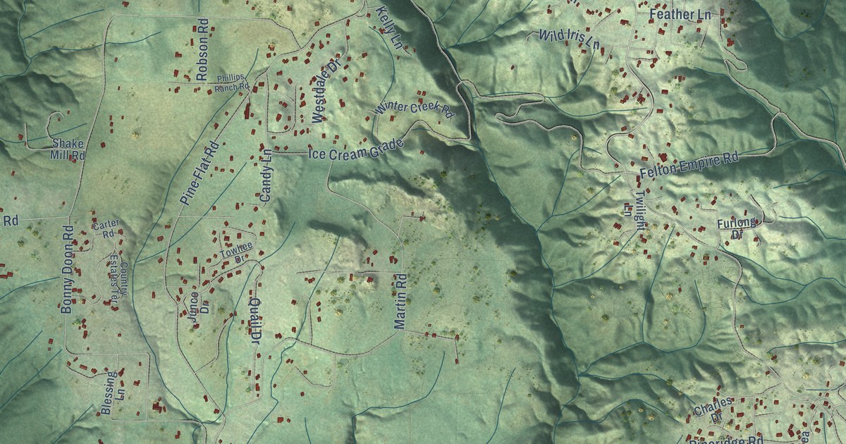
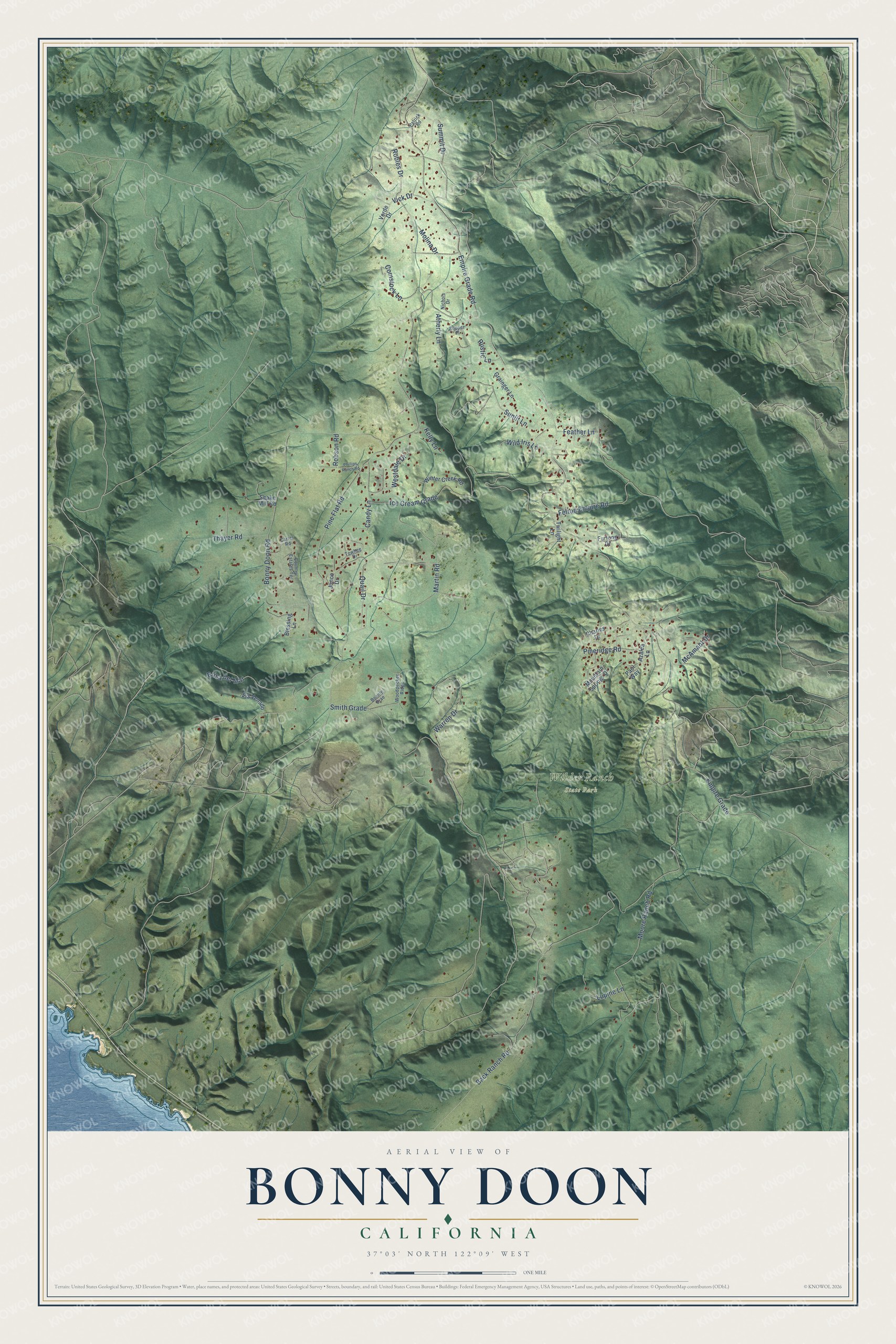
This beautifully detailed map of Bonny Doon, California was created in 2026 using aerial imagery combined with modern topographical, census, street and landmark data. It's a modern aerial view of Bonny Doon in Santa Cruz County, California, that combines modern data with a vintage aesthetic. The roads feature printed names, and if you look closely you can find your exact house accurately shown in its correct location.
Explore an aerial view of Bonny Doon, California
On this map you'll find Wilder Ranch State Park, Felton Empire Road, Empire Grade Road, Bonny Doon Road, Empire Grade, Smith Grade, Pine Flat Road, Ice Cream Grade, Brisa del Mar, Martin Road, Warren Drive, Moore Ranch Road, and more. Each red shape is a building, so zoom in on the preview and look for yours.
Every town has a first chapter, and Bonny Doon is no exception. Novelist Robert Heinlein, author of Starship Troopers, Stranger in a Strange Land and The Green Hills of Earth, lived in Bonny Doon, northwest of Santa Cruz, from 1967 to 1987. The motto of the Rural Bonny Doon Association is Keep Bonny Doon Rural, and most homes there sit on two or three acres. That's from the Santa Cruz weekly Good Times.
Bonny Doon is a community in Santa Cruz County. The Census Bureau counted 2,868 people here in 2020.
Take a closer look at the Bonny Doon map
Names on this map
These names are printed on this map.
Places: Wilder Ranch State Park.
Streets and roads: Felton Empire Road, Empire Grade Road, Bonny Doon Road, Empire Grade, Smith Grade, Pine Flat Road, Ice Cream Grade, Brisa del Mar, Martin Road, Warren Drive, Moore Ranch Road, Sunlit Lane.
More street names, A to Z
Atherly Lane, Azalea Lane, Back Ranch Road, Blessing Lane, Bonnie Brae, Candy Lane, Carter Road, Charles Drive, Comstock Lane, Country Estates Terrace, Feather Lane, Furlong Drive, Grainger Lane, Junco Drive, Kelly Lane, Kupper Place, Lupine Lane, McAmant Drive, Molina Drive, Mountain Springs Drive, Nichols Drive, Patrick Road, Paul Way, Phillips Ranch Road, Pineridge Road, Quail Drive, Robles Drive, Robson Road, Rustic Lane, Shake Mill Road, Summit Drive, Thayer Road, Towhee Drive, Twilight Lane, Verde Drive, Via Venado, Vick Drive, Westdale Drive, Wild Iris Lane, Winter Creek Road, Woodpecker Ridge.
See it on a wall
The Bonny Doon map as a framed print. Swipe for more.


Created by KNOWOL in 2026. The buildings are small red shapes, the roads carry their printed names, and shaded relief shows the shape of the land. The title panel reads "AERIAL VIEW OF BONNY DOON, CALIFORNIA" with 37°03' NORTH 122°09' WEST.
Hang it in the hallway, the office or the cabin, or give it to someone who left Bonny Doon and still calls it home. Open the preview and look for a street you know. See sizes and frames for the Bonny Doon map.