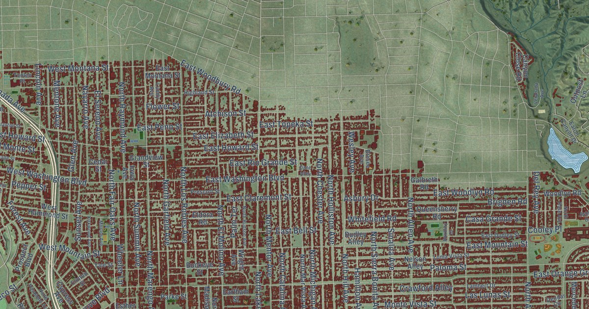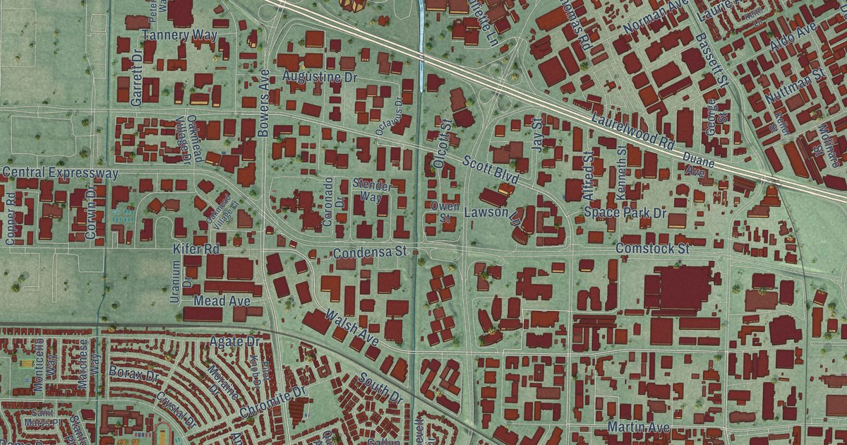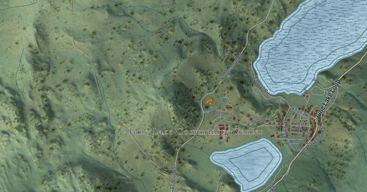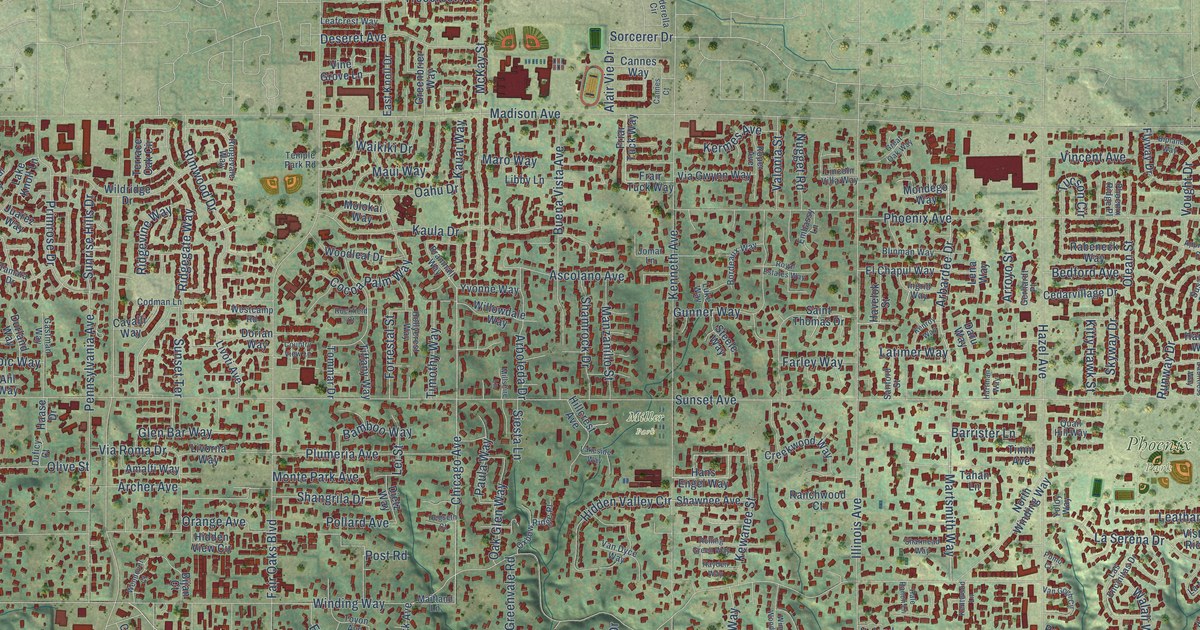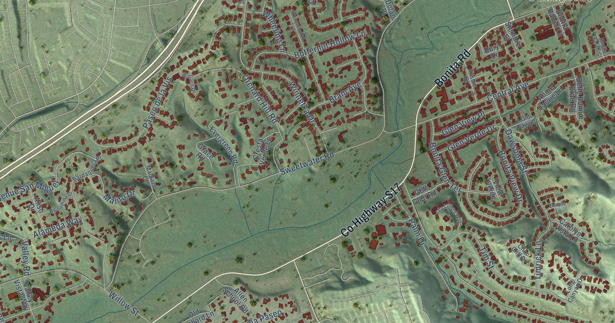
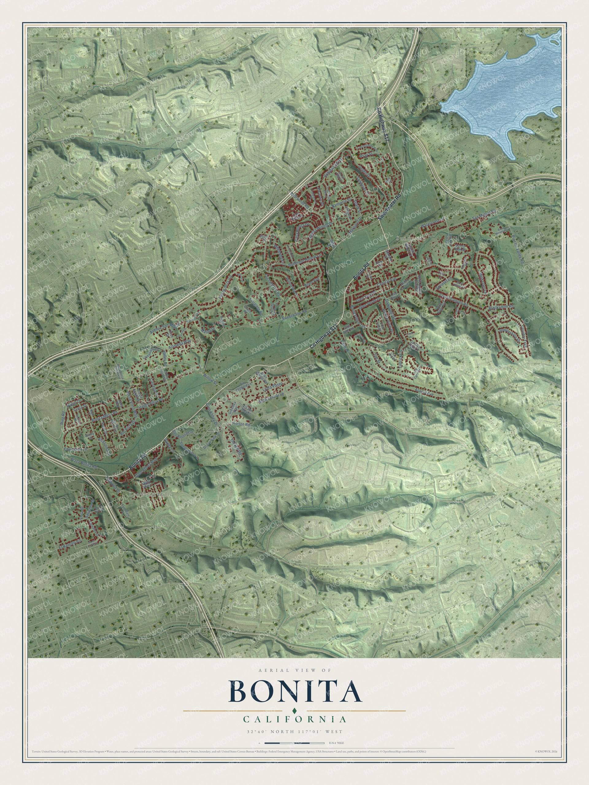
This beautifully detailed map of Bonita, California was created in 2026 using aerial imagery combined with modern topographical, census, street and landmark data. It's a modern aerial view of Bonita in San Diego County, California, that combines modern data with a vintage aesthetic. The roads feature printed names, and if you look closely you can find your exact house accurately shown in its correct location.
Explore an aerial view of Bonita, California
On this map you'll find Lynwood Hills, Sunnyside, Bonita Road, Co Highway S17, Sweetwater Road, Ring Road, Central Avenue, Corral Canyon Road, Acacia Avenue, Proctor Valley Road, Country Trail, The Hill Road, and more. Each red shape is a building, so zoom in on the preview and look for yours.
Bonita is a community in San Diego County. The Census Bureau counted 12,917 people here in 2020. The map prints the town name in its title panel, with the coordinates below it.
Take a closer look at the Bonita map
Names on this map
These names are printed on this map.
Places: Lynwood Hills and Sunnyside.
Streets and roads: Bonita Road, County Highway S17, Sweetwater Road, Ring Road, Central Avenue, Corral Canyon Road, Acacia Avenue, Proctor Valley Road, Country Trail, The Hill Road, San Miguel Road, Winnetka Drive.
More street names, A to Z
Adrienne Drive, Alameda Way, Aliso Drive, Allen School Lane, Allen School Road, Alta Loma Drive, Anderson Street, Annie Laurie Lane, Avenue Palo Verde, Avenue San Miguel, Balsamina Drive, Bardaquera Place, Belle Bonnie Brae Road, Blacksmith Road, Bonita Farms Court, Bonita Glen Terrace, Bonita Meadows Lane, Bonita Mesa Road, Bonita Ranch Court, Bonita View Drive, Bonita Woods Drive, Bram Avenue, Briarwood Road, Butternut Hollow Lane, Cam Roberto, Carolyn Vista Lane, Carvalos Drive, Casa Bonita Drive, Casa Grande Way, Cedarwood Road, Choc Cliff Drive, Cienega Drive, Crela Street, Cresta Bonita Drive, Cresta Verde Lane, Dawsonia Street, Degen Drive, Dolan Place, Dory Drive, Duffy Way, El Rancho Vis, Equitation Lane, Evergreen Road, Filly Lane, Frisbie Street, Glen Abbey Boulevard, Glen Abbey Drive, Glen Rosevale Drive, Glen Verde Drive, Glen View Place, Golf Glen Road, Good Karma Lane, Grace Road, Grevillea Way, Holly Way, Horse Ridge Way, Horton Road, Kennelworth Lane, La Cresta Way, Lavade Lane, Lomacitas Lane, Loma del Sol Drive, Loma Paseo, Long Canyon Drive, Loping Lane, Lynndale Place, Lynwood Drive, Malito Drive, Malpazo Court, Margaret Drive, Mesa Vista Way, Nannette Street, Ocean View Drive, Old Dairy Court, Old Orchard Lane, Orchard Hill Road, Palm Drive, Palo Drive, Paseo de la Vis, Pepper Tree Road, Picasso Drive, Plaza Bonita Centerway, Plaza Bonita Road, Pluto Court, Pray Court, Pray Street, Putter Drive, Randy Lane, Rio Vista Drive, Robinwood Road, Royal Place, Sandover Court, Sarasona Way, Siembre Street, Sleepy Hollow Lane, Sprinter Lane, Steeplechase Road, Sunny View Drive, Sylvia Street, Timrick Lane, Tim Street, Valley Road, Valley Vista Road, Valley Vista Way, Via del Allazon, Via de Laurencio, Via del Caballo Blanco, View Verde, Vis San Miguel, Vista Drive, Wallace Drive, Watercrest Drive, Wheeling Lane, Whirlybird Way, Wild Oats Lane, Willow Street, Windy Lane.
Created by KNOWOL in 2026. The buildings are small red shapes, the roads carry their printed names, and shaded relief shows the shape of the land. The title panel reads "AERIAL VIEW OF BONITA CALIFORNIA" with 32°40' NORTH 117°01' WEST.
It looks right in a kitchen, an office or a den, and it's a gift for anyone who grew up in Bonita or moved away. Open the preview and find your street. See sizes and frames for the Bonita map.